Barbary Plains
Downs, Moorland in Cumberland Eden
England
Barbary Plains

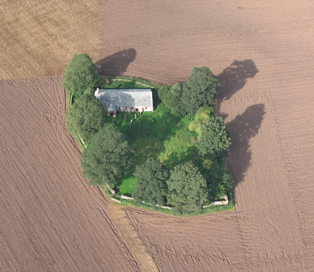
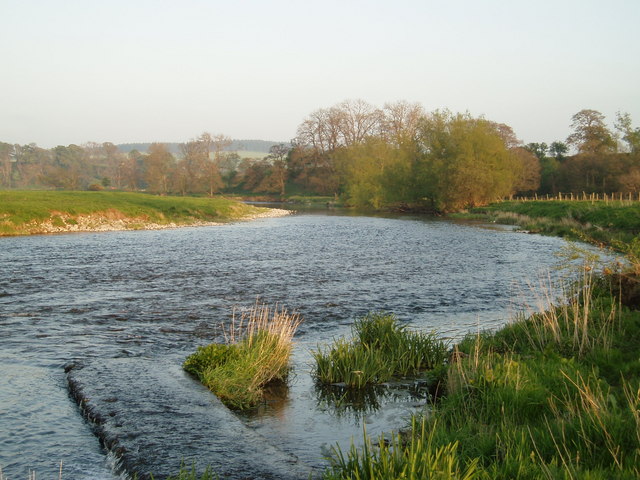
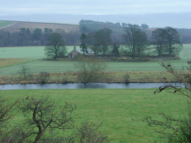
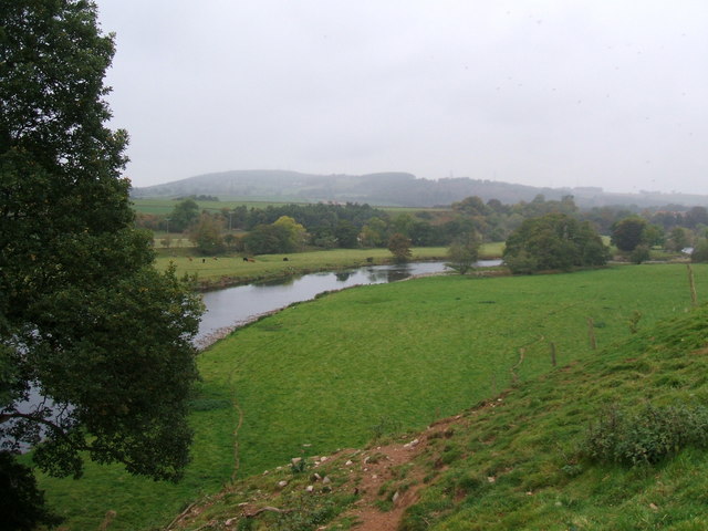
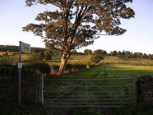
Barbary Plains, located in Cumberland in the region of Downs, Moorland, is an expansive area known for its stunning natural beauty and diverse ecosystem. Covering a significant portion of the region, Barbary Plains is characterized by rolling hills, vast open grasslands, and scattered patches of woodland.
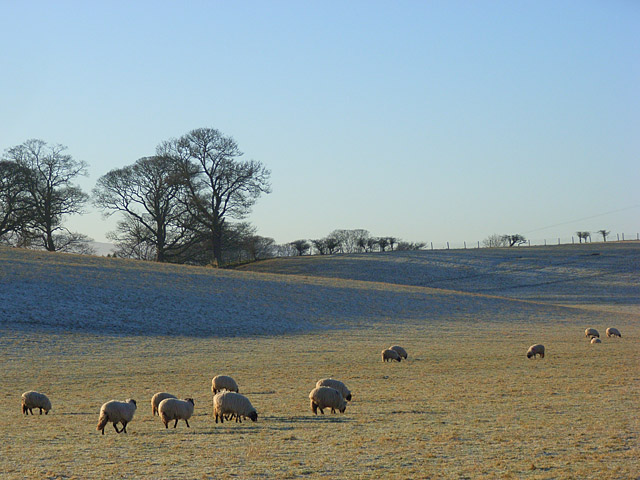
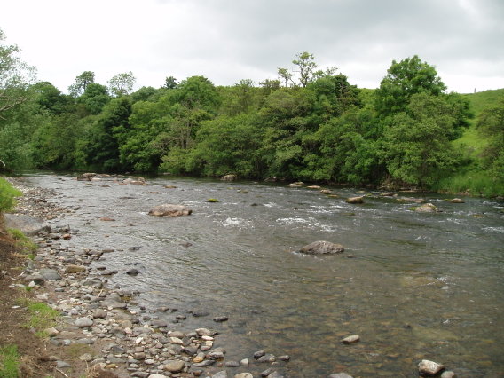
The plains are home to a wide range of flora and fauna, making it a popular destination for nature enthusiasts and wildlife photographers. Visitors can expect to encounter various species of birds, including raptors such as kestrels and buzzards, as well as ground-nesting birds like lapwings and skylarks. The grasslands are adorned with colorful wildflowers during the spring and summer months, creating a picturesque landscape.
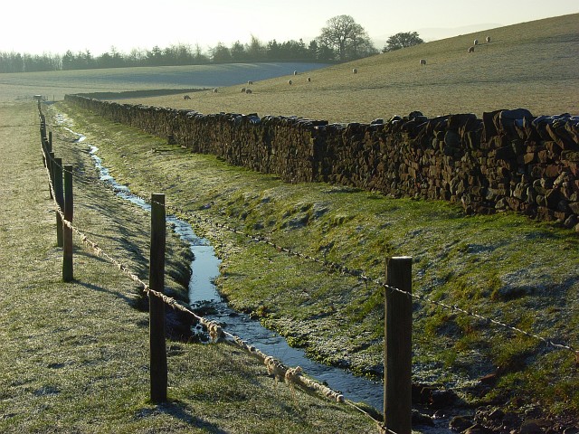
In addition to its natural beauty, Barbary Plains also plays a crucial role in local agriculture. Many farmers in the area utilize the fertile soil for grazing livestock and cultivating crops, contributing to the region's agricultural economy.
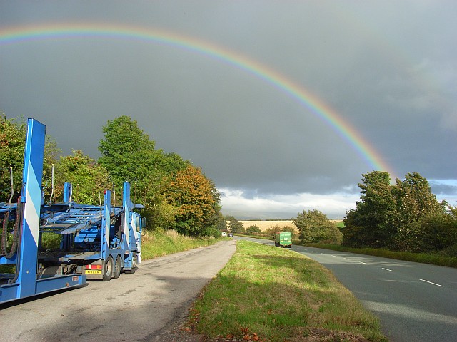
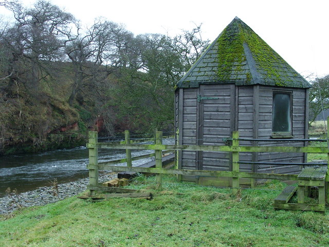
The plains offer numerous recreational activities for visitors to enjoy. Hiking and walking trails crisscross the area, allowing visitors to explore the vastness of the plains and take in breathtaking views from elevated points. The open spaces also provide ample opportunities for picnicking, kite flying, and other outdoor activities.
Barbary Plains, Cumberland (Downs, Moorland) is a destination that offers a perfect blend of natural beauty, wildlife diversity, and recreational opportunities, making it a must-visit for nature lovers and outdoor enthusiasts alike.
If you have any feedback on the listing, please let us know in the comments section below.
Barbary Plains Images
Images are sourced within 2km of 54.672383/-2.7003392 or Grid Reference NY5431. Thanks to Geograph Open Source API. All images are credited.
Barbary Plains is located at Grid Ref: NY5431 (Lat: 54.672383, Lng: -2.7003392)
Administrative County: Cumbria
District: Eden
Police Authority: Cumbria
What 3 Words
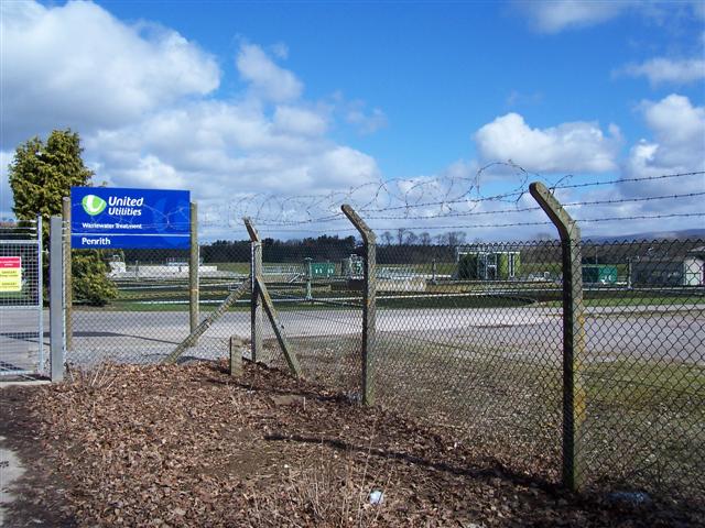
///trappings.explain.nests. Near Penrith, Cumbria
Related Wikis
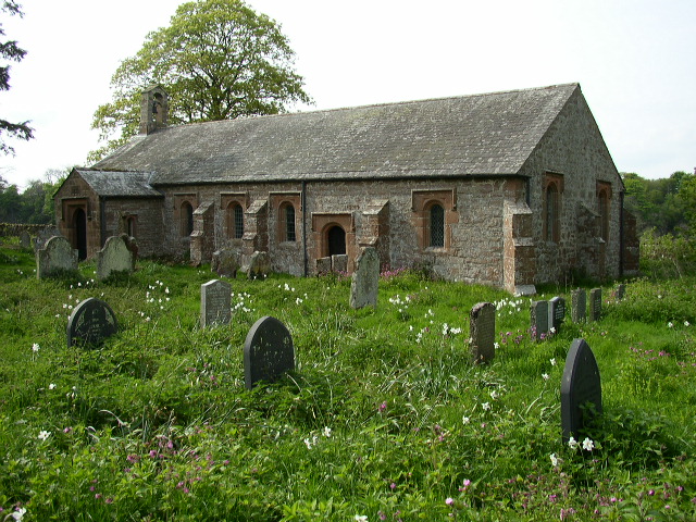
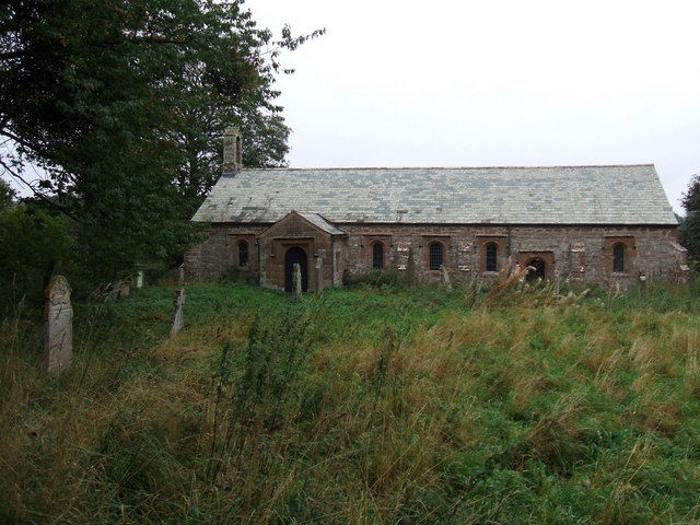
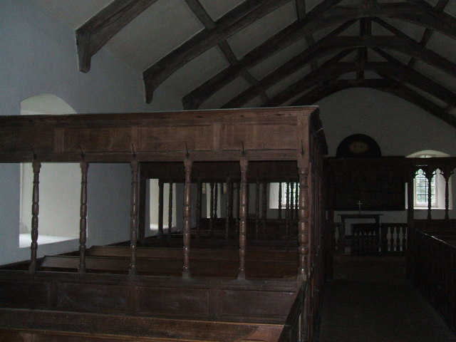
Ninekirks
Ninekirks is the local name for St Ninian's church, Brougham, Cumbria. Dedicated to Saint Ninian, it was formerly the Anglican parish church for Brougham...

Penrith A.F.C.
Penrith Association Football Club is a football club based in Penrith, Cumbria, England. They play in the Northern Football League Division One and their...
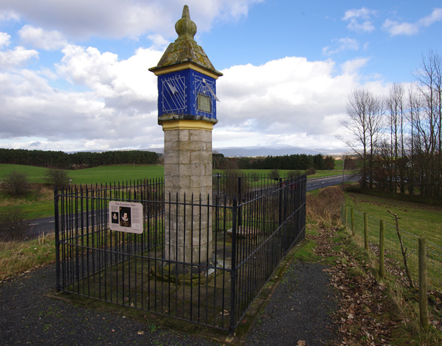
Countess Pillar
The Countess Pillar is a 17th-century monument near Brougham, Cumbria, England, between Penrith and Appleby. It is two miles east of Penrith on the A66...

St Cuthbert's Church, Edenhall
St Cuthbert's Church is located near the village of Edenhall, Cumbria, England. It is an active Anglican parish church in the deanery of Penrith, the...
Edenhall
Edenhall is a clustered village and former civil parish, now in the south-west of the parish of Langwathby, 800m to the north in the Westmorland and Furness...

Carleton, Penrith
Carleton is a suburb of the town of Penrith, Cumbria, England, that has seen a huge growth in housing since the 1960s and is, of 2018, still expanding...

Brocavum
Brocavum is the Latin name of a Roman fort at Brougham near Penrith, Cumbria. The fort survives as earthworks, but no excavation of these has been carried...

Brougham Castle
Brougham Castle (pronounced ) is a medieval building about 2 miles (3.2 km) south-east of Penrith, Cumbria, England. The castle was founded by Robert I...
Nearby Amenities
Located within 500m of 54.672383,-2.7003392Have you been to Barbary Plains?
Leave your review of Barbary Plains below (or comments, questions and feedback).