Hydepark Strips
Wood, Forest in Cumberland Eden
England
Hydepark Strips
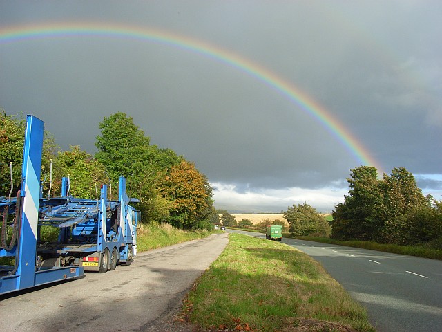
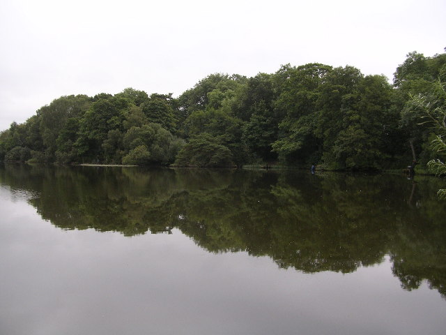
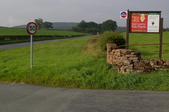
Hydepark Strips, Cumberland (Wood, Forest) is a scenic and serene area located in Cumberland County, England. Stretching over approximately 500 acres, this natural oasis is a popular destination for nature enthusiasts, hikers, and families seeking a peaceful retreat.
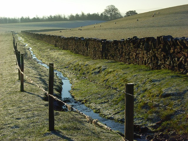
The woodland is characterized by its dense canopy of mature trees, predominantly oak and beech. These towering giants create a tranquil and shaded environment, providing a haven for a wide variety of flora and fauna. The forest floor is covered in a lush carpet of ferns, bluebells, and wildflowers, adding vibrancy and beauty to the landscape.
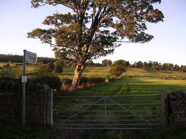
Traversing through Hydepark Strips, visitors will find an extensive network of well-maintained footpaths and trails, allowing them to explore the forest's hidden corners and discover its unique features. The trails range from easy strolls suitable for all ages to more challenging hikes for the adventurous.
The forest is also home to a diverse range of wildlife. Visitors may spot deer, foxes, badgers, and numerous species of birds, including woodpeckers and owls. The peaceful atmosphere and abundance of wildlife make it an ideal spot for birdwatching and photography.
For those seeking a more immersive experience, Hydepark Strips offers camping facilities, allowing visitors to spend a night under the starry sky and wake up to the gentle sounds of nature. Additionally, there are picnic areas and barbecue pits scattered throughout the forest, providing the perfect setting for a family outing or a leisurely lunch.
Overall, Hydepark Strips, Cumberland (Wood, Forest) is a captivating natural gem, offering visitors a chance to reconnect with nature and experience the tranquility and beauty of the English countryside.
If you have any feedback on the listing, please let us know in the comments section below.
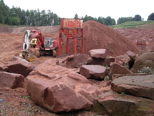
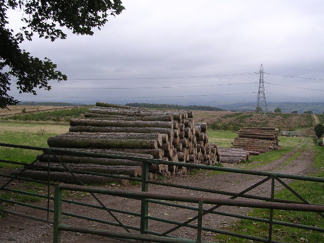
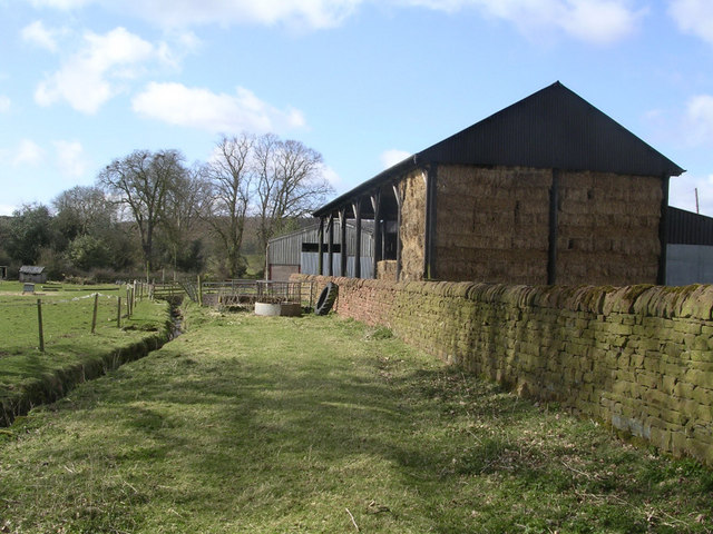
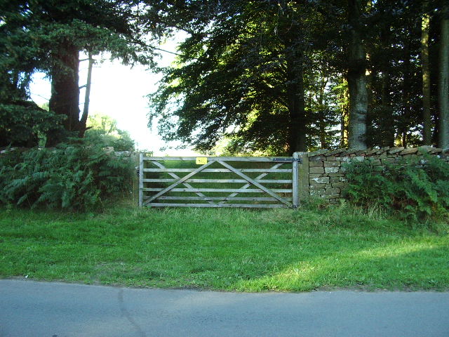
Hydepark Strips Images
Images are sourced within 2km of 54.677871/-2.7102041 or Grid Reference NY5431. Thanks to Geograph Open Source API. All images are credited.


Hydepark Strips is located at Grid Ref: NY5431 (Lat: 54.677871, Lng: -2.7102041)
Administrative County: Cumbria
District: Eden
Police Authority: Cumbria
What 3 Words
///towels.furniture.unopposed. Near Penrith, Cumbria
Nearby Locations
Related Wikis

Penrith A.F.C.
Penrith Association Football Club is a football club based in Penrith, Cumbria, England. They play in the Northern Football League Division One and their...
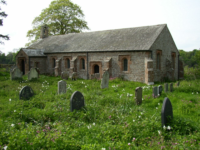
Ninekirks
Ninekirks is the local name for St Ninian's church, Brougham, Cumbria. Dedicated to Saint Ninian, it was formerly the Anglican parish church for Brougham...

Carleton, Penrith
Carleton is a suburb of the town of Penrith, Cumbria, England, that has seen a huge growth in housing since the 1960s and is, of 2018, still expanding...

Edenhall
Edenhall is a clustered village and former civil parish, now in the south-west of the parish of Langwathby, 800m to the north in the Westmorland and Furness...

Penrith and The Border (UK Parliament constituency)
Penrith and The Border is a constituency in Cumbria represented in the House of Commons of the UK Parliament since 2019 by Neil Hudson, a Conservative...
St Cuthbert's Church, Edenhall
St Cuthbert's Church is located near the village of Edenhall, Cumbria, England. It is an active Anglican parish church in the deanery of Penrith, the...
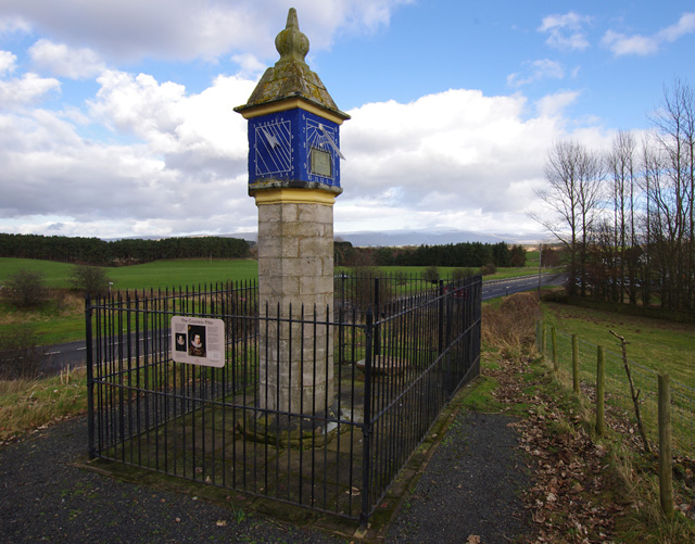
Countess Pillar
The Countess Pillar is a 17th-century monument near Brougham, Cumbria, England, between Penrith and Appleby. It is two miles east of Penrith on the A66...

Brocavum
Brocavum is the Latin name of a Roman fort at Brougham near Penrith, Cumbria. The fort survives as earthworks, but no excavation of these has been carried...
Nearby Amenities
Located within 500m of 54.677871,-2.7102041Have you been to Hydepark Strips?
Leave your review of Hydepark Strips below (or comments, questions and feedback).