Horsepasture Wood
Wood, Forest in Cumberland Eden
England
Horsepasture Wood

Horsepasture Wood is a picturesque forest located in the county of Cumberland, England. Situated near the village of Horsepasture, this wood covers an expansive area of approximately 500 acres. The forest is a popular destination for nature enthusiasts and visitors seeking tranquility amidst the beauty of the natural surroundings.
Horsepasture Wood is characterized by its diverse range of tree species, including oak, beech, birch, and ash, among others. These trees create a dense canopy that provides shade and shelter for a variety of wildlife that call the forest home. Visitors can expect to spot a plethora of bird species, such as woodpeckers, owls, and thrushes, as well as small mammals like badgers and foxes.
The forest features several well-maintained trails that wind their way through the wood, offering visitors the opportunity to explore the area at their own pace. These paths are suitable for both leisurely walks and more challenging hikes, providing options for individuals of all fitness levels. Along the trails, visitors may come across charming streams and small ponds, adding to the enchanting atmosphere of the wood.
Horsepasture Wood is also renowned for its vibrant flora, boasting a carpet of bluebells in the spring and a stunning array of autumnal colors in the fall. These seasonal transformations further enhance the natural beauty of the forest, attracting photographers and nature enthusiasts throughout the year.
Overall, Horsepasture Wood in Cumberland offers a tranquil and captivating experience for visitors, with its diverse vegetation, abundant wildlife, and well-maintained trails. Whether seeking a peaceful walk, birdwatching opportunities, or simply a connection with nature, this forest provides a serene escape from the hustle and bustle of everyday life.
If you have any feedback on the listing, please let us know in the comments section below.
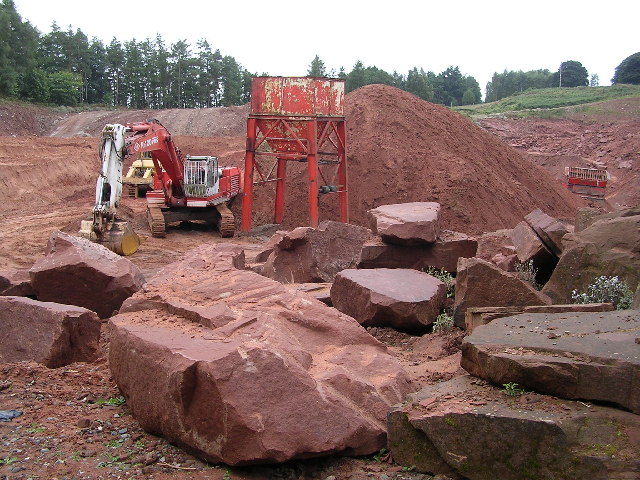
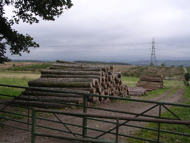
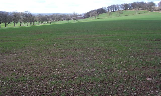
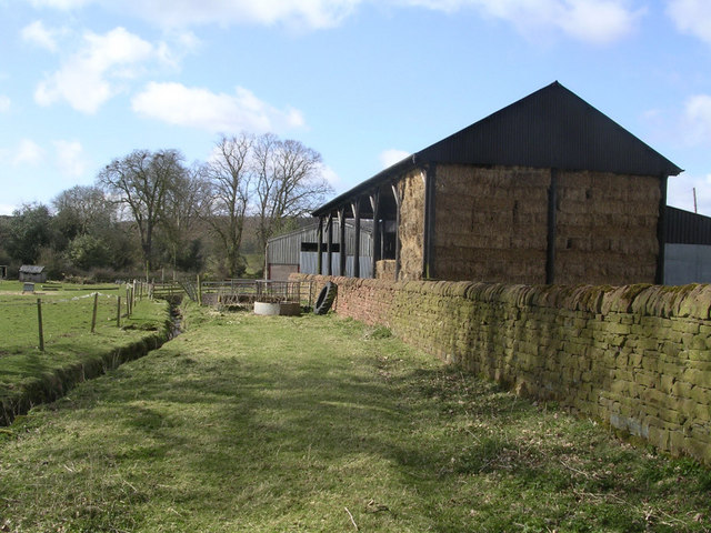
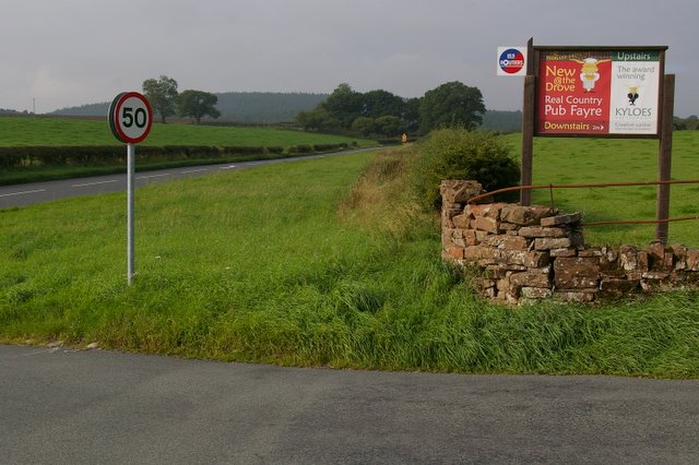
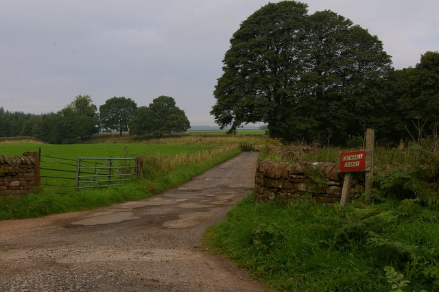
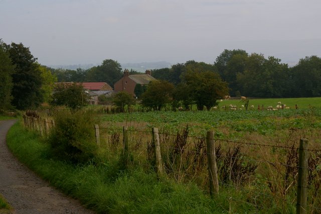
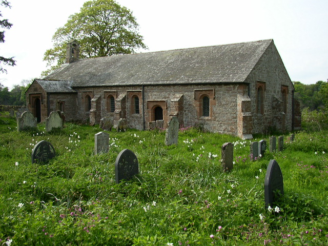
Horsepasture Wood Images
Images are sourced within 2km of 54.683172/-2.7103587 or Grid Reference NY5432. Thanks to Geograph Open Source API. All images are credited.


Horsepasture Wood is located at Grid Ref: NY5432 (Lat: 54.683172, Lng: -2.7103587)
Administrative County: Cumbria
District: Eden
Police Authority: Cumbria
What 3 Words
///javelin.hails.framework. Near Penrith, Cumbria
Nearby Locations
Related Wikis

Penrith and The Border (UK Parliament constituency)
Penrith and The Border is a constituency in Cumbria represented in the House of Commons of the UK Parliament since 2019 by Neil Hudson, a Conservative...

Edenhall
Edenhall is a clustered village and former civil parish, now in the south-west of the parish of Langwathby, 800m to the north in the Westmorland and Furness...
St Cuthbert's Church, Edenhall
St Cuthbert's Church is located near the village of Edenhall, Cumbria, England. It is an active Anglican parish church in the deanery of Penrith, the...
Ninekirks
Ninekirks is the local name for St Ninian's church, Brougham, Cumbria. Dedicated to Saint Ninian, it was formerly the Anglican parish church for Brougham...

Penrith A.F.C.
Penrith Association Football Club is a football club based in Penrith, Cumbria, England. They play in the Northern Football League Division One and their...

Carleton, Penrith
Carleton is a suburb of the town of Penrith, Cumbria, England, that has seen a huge growth in housing since the 1960s and is, of 2018, still expanding...

Langwathby
Langwathby is a village and civil parish in northern Cumbria, and in the historic English county of Cumberland, about 5 miles (8 km) north east of Penrith...

Langwathby railway station
Langwathby is a railway station on the Settle and Carlisle Line, which runs between Carlisle and Leeds via Settle. The station, situated 19 miles 59 chains...
Nearby Amenities
Located within 500m of 54.683172,-2.7103587Have you been to Horsepasture Wood?
Leave your review of Horsepasture Wood below (or comments, questions and feedback).