Oxpasture Wood

Wood, Forest in Cheshire

England

Oxpasture Wood

Footbridge over stream
Footbridge over stream Credit: John H Darch

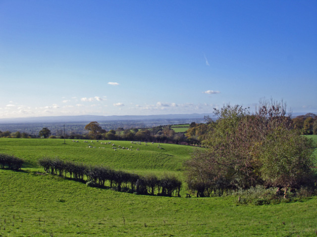
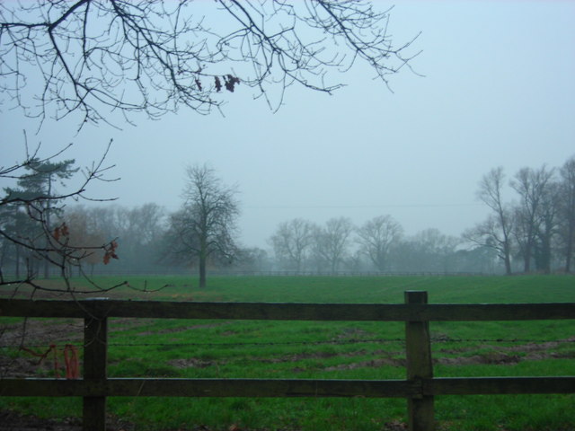
Oxpasture Wood is a picturesque woodland located in the county of Cheshire, England. Nestled in the heart of the rural countryside, this enchanting forest covers an area of approximately 30 acres, and is a popular destination for nature lovers and outdoor enthusiasts.

The woodland is characterized by a diverse range of tree species, including oak, beech, and birch, which create a beautiful and serene environment. The dense canopy of foliage provides shelter and habitats for numerous wildlife species, making it an ideal spot for birdwatching and nature photography.

Visitors to Oxpasture Wood can explore its network of well-maintained walking trails, which wind their way through the forest and offer stunning views of the surrounding landscape. The peaceful atmosphere and tranquil surroundings make it the perfect place for a leisurely stroll or a family picnic.

In addition to its natural beauty, Oxpasture Wood also has a rich cultural history. It is believed to have been part of the ancient hunting grounds of the local nobility, and remnants of prehistoric settlements have been discovered in the area. As such, the forest is a fascinating destination for history enthusiasts and archaeology buffs.

Overall, Oxpasture Wood is a charming woodland retreat that offers a peaceful escape from the hustle and bustle of everyday life. With its abundant wildlife, scenic trails, and rich history, it is a must-visit destination for anyone seeking a connection with nature and a taste of Cheshire's rural beauty.

If you have any feedback on the listing, please let us know in the comments section below.

Oxpasture Wood Images

Images are sourced within 2km of 53.176283/-2.6892509 or Grid Reference SJ5464. Thanks to Geograph Open Source API. All images are credited.

Footbridge over stream
Wood Lane
Wood Lane
Newly-planted field
Newly-planted field
Farm track through fields Heading towards Home Farm.
Farm track through fields
Heading towards Home Farm.
Tirley Garth The south facade of the house
Tirley Garth
The south facade of the house
Former Kitchen Garden At Tirley Garth with the bothy arched entrance beyond
Former Kitchen Garden
At Tirley Garth with the bothy arched entrance beyond
Azalea Walk At Tirley Garth
Azalea Walk
At Tirley Garth
Salterswell House, Tarporley Built c1783. Rusticated lintels as so often in Cheshire houses of this period. Grade II listed.
Salterswell House, Tarporley
Built c1783. Rusticated lintels as so often in Cheshire houses of this period. Grade II listed.
Guide post between Utkinton Hall and Yewtree Farm.
Brookhouse farm Brookhouse Farm on Clotton Common
Brookhouse farm
Brookhouse Farm on Clotton Common
The Bulls Head The Bulls Head public house in Clotton
The Bulls Head
The Bulls Head public house in Clotton
Fields near Clotton Fields alongside the road outside Clotton, looking South
Fields near Clotton
Fields alongside the road outside Clotton, looking South
Farm building near to the trees A farm building surrounded by trees, near to Ash Hill House
Farm building near to the trees
A farm building surrounded by trees, near to Ash Hill House
Willington Hall hotel This former country house is now a popular hotel
Willington Hall hotel
This former country house is now a popular hotel
Willington - view from beside footpath Willington 2 Willington: view from beside Willington 2 near Tirley Lane. Even a relatively modest elevation like this (about 145m) on the Cheshire sandstone ridge can afford long views across the Cheshire Plain towards the distant Welsh hills.
Willington - view from beside footpath Willington 2
Willington: view from beside Willington 2 near Tirley Lane. Even a relatively modest elevation like this (about 145m) on the Cheshire sandstone ridge can afford long views across the Cheshire Plain towards the distant Welsh hills.
War Memorial in Utkinton Village, near open Cheshire farmland It was a dull day just after Christmas 2006, this was taken at about 3.30pm.
War Memorial in Utkinton Village, near open Cheshire farmland
It was a dull day just after Christmas 2006, this was taken at about 3.30pm.
Muddy field near Willington Hall Hotel. A very muddy field on a miserable day
Muddy field near Willington Hall Hotel.
A very muddy field on a miserable day
Wet road - Willington Lane Another very wet day in Cheshire
Wet road - Willington Lane
Another very wet day in Cheshire
Show me another place!

Oxpasture Wood is located at Grid Ref: SJ5464 (Lat: 53.176283, Lng: -2.6892509)

Unitary Authority: Cheshire West and Chester

Police Authority: Cheshire

What 3 Words

///qualifier.meanest.warrior. Near Tarporley, Cheshire

Nearby Locations

Oxpasture Wood

Related Wikis

Utkinton

Utkinton is a village and former civil parish, now in the parishes of Utkinton and Cotebrook, in the unitary authority area of Cheshire West and Chester...
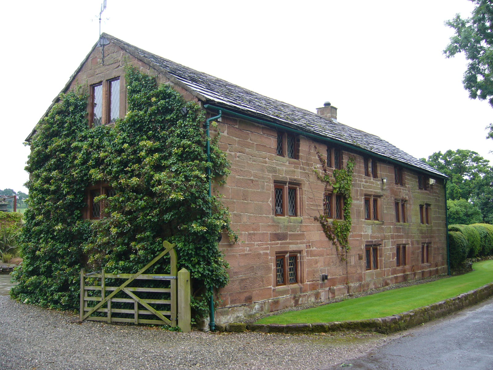
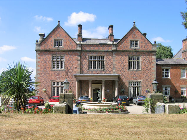
Utkinton Hall

Utkinton Hall is a country house to the southeast of the village of Utkinton, Cheshire, England. It is recorded in the National Heritage List for England...
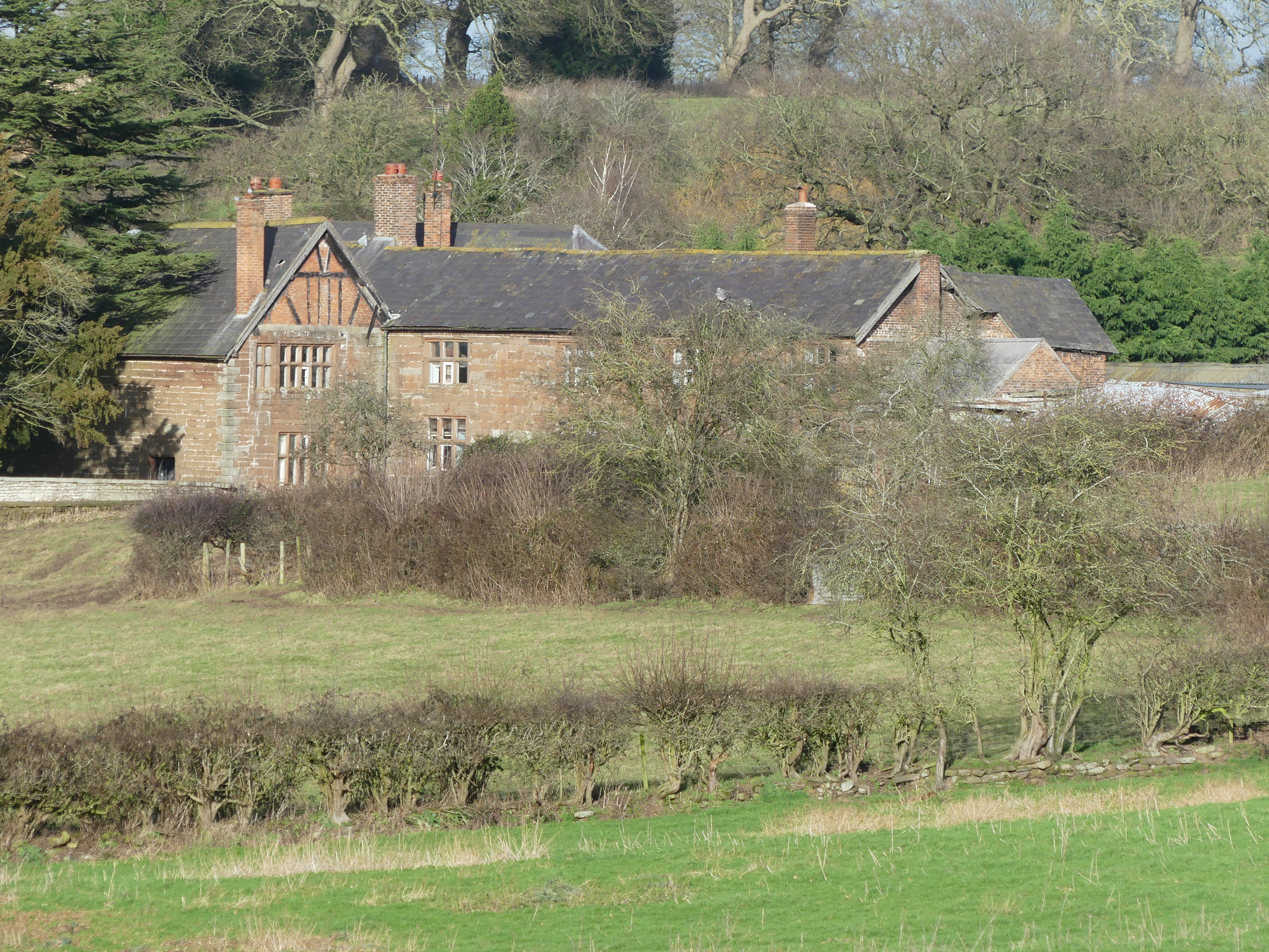
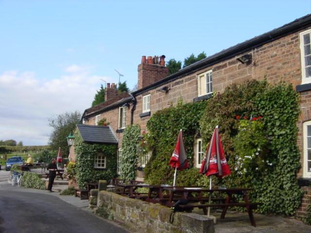
Willington Hall

Willington Hall is a former country house in the parish of Willington, Cheshire, England. It was extended in 1878, but reduced in size in the 1950s, and...

Boothsdale

Boothsdale is a village in Cheshire, England. It is part of the civil parish of Willington.

Nearby Amenities

Located within 500m of 53.176283,-2.6892509
Barrier: stile
Foot: yes
Lat/Long: 53.1737532/-2.6853009
The data included in this document is from www.openstreetmap.org. The data is made available under ODbL.

Have you been to Oxpasture Wood?

Leave your review of Oxpasture Wood below (or comments, questions and feedback).