Long Close Wood

Wood, Forest in Herefordshire

England

Long Close Wood

View from Symonds Yat Rock
View from Symonds Yat Rock Credit: Chris Allen

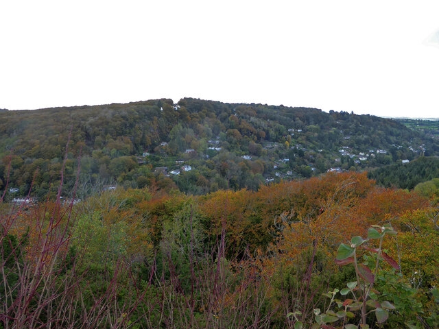
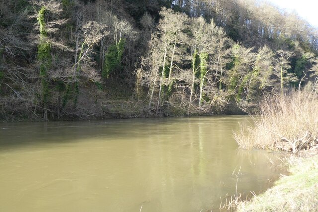
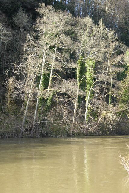
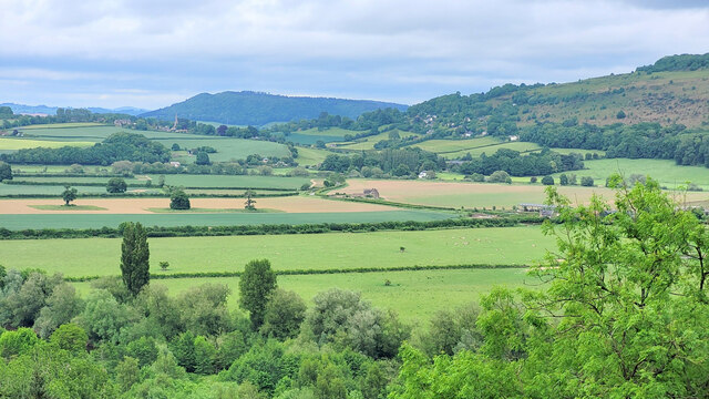
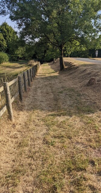
Long Close Wood is a picturesque woodland located in Herefordshire, England. Spanning over an area of approximately 100 acres, it is known for its diverse range of flora and fauna, making it a popular spot for nature enthusiasts and hikers.

The wood is characterized by its dense tree cover, primarily consisting of oak, ash, and beech trees, which create a cool and tranquil atmosphere. The woodland floor is adorned with a vibrant carpet of bluebells and wildflowers during the spring, adding to its natural beauty.

Long Close Wood is home to a variety of wildlife species, including deer, foxes, badgers, and an array of bird species. Birdwatchers can often spot woodpeckers, owls, and various songbirds in the area. The wood also provides a habitat for a number of rare and protected species, such as the dormouse and the lesser horseshoe bat.

Visitors can explore the wood through a network of well-maintained footpaths and trails, allowing them to immerse themselves in the peaceful surroundings. The wood offers a tranquil escape from the hustle and bustle of daily life, providing an opportunity for relaxation and rejuvenation.

Long Close Wood is managed by a local conservation organization, which ensures the preservation of its natural beauty and biodiversity. It also hosts educational activities and guided walks, allowing visitors to learn more about the wood's ecology and conservation efforts.

Overall, Long Close Wood is a stunning natural haven that offers a unique and immersive experience for individuals seeking solace in nature.

If you have any feedback on the listing, please let us know in the comments section below.

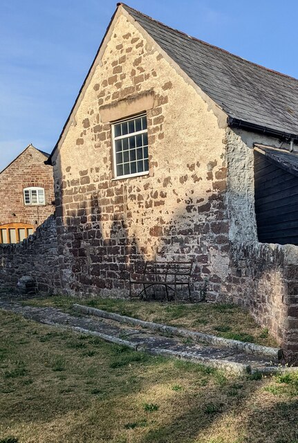
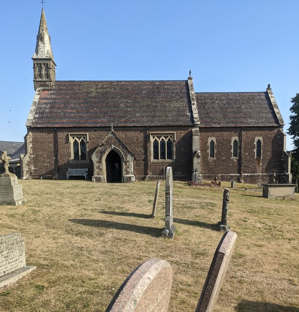
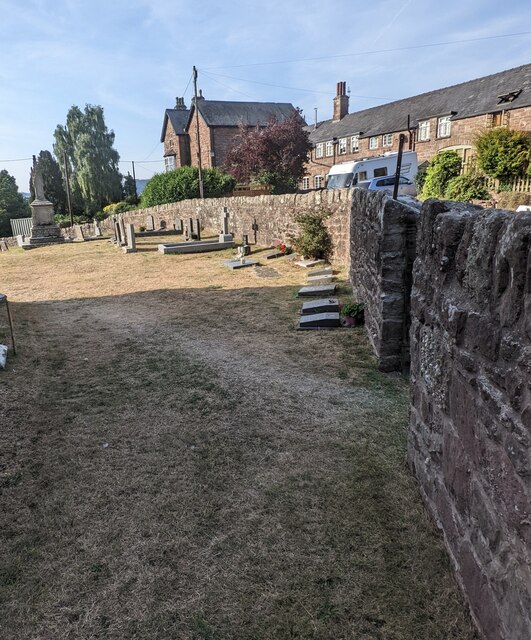
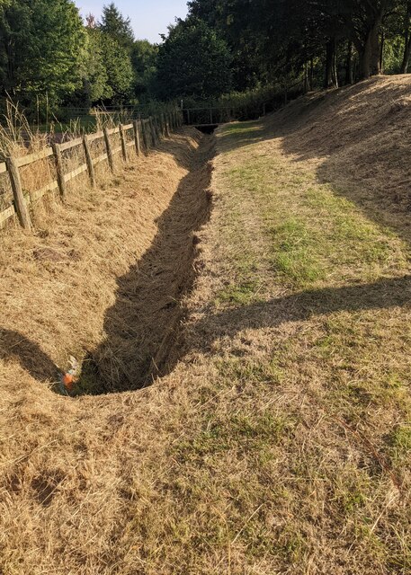
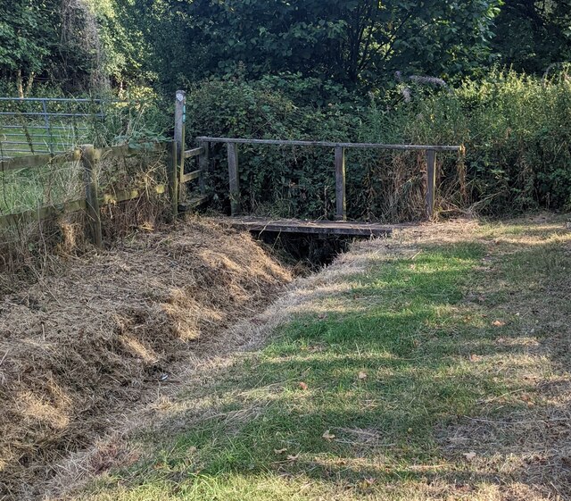
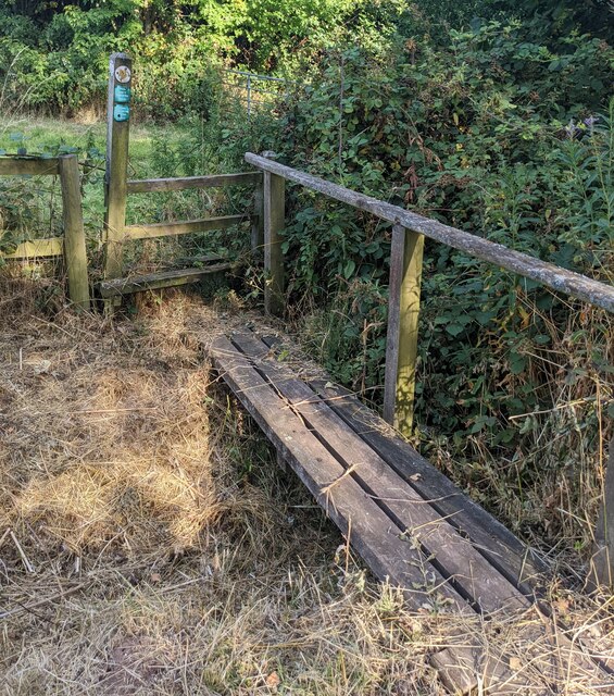
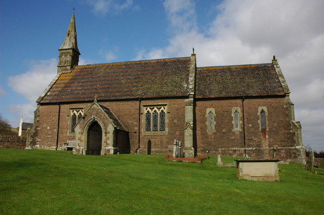
Long Close Wood Images

Images are sourced within 2km of 51.84404/-2.6727018 or Grid Reference SO5316. Thanks to Geograph Open Source API. All images are credited.

View from Symonds Yat Rock
The River Wye Sun highlighting trees beside the River Wye at The Biblins downstream from Symonds Yat.
The River Wye
Sun highlighting trees beside the River Wye at The Biblins downstream from Symonds Yat.
Trees on the banks of the Wye Sunlight highlighting trees on the banks of a swollen River Wye near The Biblins.
Trees on the banks of the Wye
Sunlight highlighting trees on the banks of a swollen River Wye near The Biblins.
View across the Wye valley Coppet Hill to the right and Chase Hill near Ross-on-Wye in the distance.
View across the Wye valley
Coppet Hill to the right and Chase Hill near Ross-on-Wye in the distance.
Lychgate, Ganarew, Herefordshire At the main entrance to St Swithin's churchyard in the Church of England Diocese of Hereford. Derived from an old English word for a corpse, a lychgate is the roofed gateway to a churchyard, formerly used to shelter a coffin until the clergyman's arrival for the burial or pre-burial service.
Lychgate, Ganarew, Herefordshire
At the main entrance to St Swithin's churchyard in the Church of England Diocese of Hereford. Derived from an old English word for a corpse, a lychgate is the roofed gateway to a churchyard, formerly used to shelter a coffin until the clergyman's arrival for the burial or pre-burial service.
Church nameboard, Ganarew, Herefordshire Located here <a title="https://www.geograph.org.uk/photo/7255167" href="https://www.geograph.org.uk/photo/7255167">Link</a> alongside the main entrance to St Swithin's churchyard in the Church of England Diocese of Hereford.
Church nameboard, Ganarew, Herefordshire
Located here Link alongside the main entrance to St Swithin's churchyard in the Church of England Diocese of Hereford.
Grade II Listed Bannerman Memorial, Ganarew, Herefordshire The memorial in St Swithin's churchyard dates from c1870. It commemorates John Bannerman and members of the Bannerman family formerly of Wyastone Leys. Grade II Listed in 1985.
Grade II Listed Bannerman Memorial, Ganarew, Herefordshire
The memorial in St Swithin's churchyard dates from c1870. It commemorates John Bannerman and members of the Bannerman family formerly of Wyastone Leys. Grade II Listed in 1985.
Medieval churchyard cross, Ganarew, Herefordshire The cross in St Swithin's churchyard is a medieval cross with later additions. The cross is a Scheduled Monument. Its list entry number is 1016117
Medieval churchyard cross, Ganarew, Herefordshire
The cross in St Swithin's churchyard is a medieval cross with later additions. The cross is a Scheduled Monument. Its list entry number is 1016117
Rusty churchyard bench,  Ganarew, Herefordshire, Alongside a stone wall at the NW edge of St Swithin's churchyard in the Church of England Diocese of Hereford.
Rusty churchyard bench, Ganarew, Herefordshire,
Alongside a stone wall at the NW edge of St Swithin's churchyard in the Church of England Diocese of Hereford.
Church spire, Ganarew, Herefordshire On the west side of St Swithin's Church in the Church of England Diocese of Hereford. The decorative tiled roof has bands of fishscale tiles.
Church spire, Ganarew, Herefordshire
On the west side of St Swithin's Church in the Church of England Diocese of Hereford. The decorative tiled roof has bands of fishscale tiles.
Buildings beyond the churchyard, Ganarew, Herefordshire Viewed from St Swithin's churchyard in the Church of England Diocese of Hereford.
Buildings beyond the churchyard, Ganarew, Herefordshire
Viewed from St Swithin's churchyard in the Church of England Diocese of Hereford.
South side of St Swithin's Church, Ganarew Church in the Church of England Diocese of Hereford.
South side of St Swithin's Church, Ganarew
Church in the Church of England Diocese of Hereford.
Churchyard perimeter wall, Ganarew, Herefordshire Stone wall at the edge of St Swithin's churchyard.
Churchyard perimeter wall, Ganarew, Herefordshire
Stone wall at the edge of St Swithin's churchyard.
House opposite the churchyard, Ganarew, Herefordshire Viewed from St Swithin's churchyard in the Church of England Diocese of Hereford.
House opposite the churchyard, Ganarew, Herefordshire
Viewed from St Swithin's churchyard in the Church of England Diocese of Hereford.
Grassy track, Ganarew, Herefordshire Little greenery remains on August 14th 2022 during a long period of much below average rainfall.
Grassy track, Ganarew, Herefordshire
Little greenery remains on August 14th 2022 during a long period of much below average rainfall.
Dry drainage channel, Ganarew, Herefordshire Viewed on August 14th 2022 during a long period of much below average rainfall.
Dry drainage channel, Ganarew, Herefordshire
Viewed on August 14th 2022 during a long period of much below average rainfall.
Bridge over a drainage channel, Ganarew, Herefordshire The drainage channel is dry on August 14th 2022 during a long period of much below average rainfall.
Bridge over a drainage channel, Ganarew, Herefordshire
The drainage channel is dry on August 14th 2022 during a long period of much below average rainfall.
Plank bridge over a brook, Ganarew, Herefordshire  Located here. <a title="https://www.geograph.org.uk/photo/7255563" href="https://www.geograph.org.uk/photo/7255563">Link</a>
Plank bridge over a brook, Ganarew, Herefordshire
Located here. Link
Show me another place!

Long Close Wood is located at Grid Ref: SO5316 (Lat: 51.84404, Lng: -2.6727018)

Unitary Authority: County of Herefordshire

Police Authority: West Mercia

What 3 Words

///exhales.bulletins.trumpet. Near Whitchurch, Herefordshire

Related Wikis

The Doward

The Doward (Welsh: Deuarth Fach, lit. "two small hills"), is an area in the parish of Whitchurch in south Herefordshire, England, consisting of the hills...

Ganarew

Ganarew (from Welsh: Genau'r Rhiw; 'Gana-rhiw', and 'Gan y rew') is a village and small civil parish in south Herefordshire, England near the River Wye...

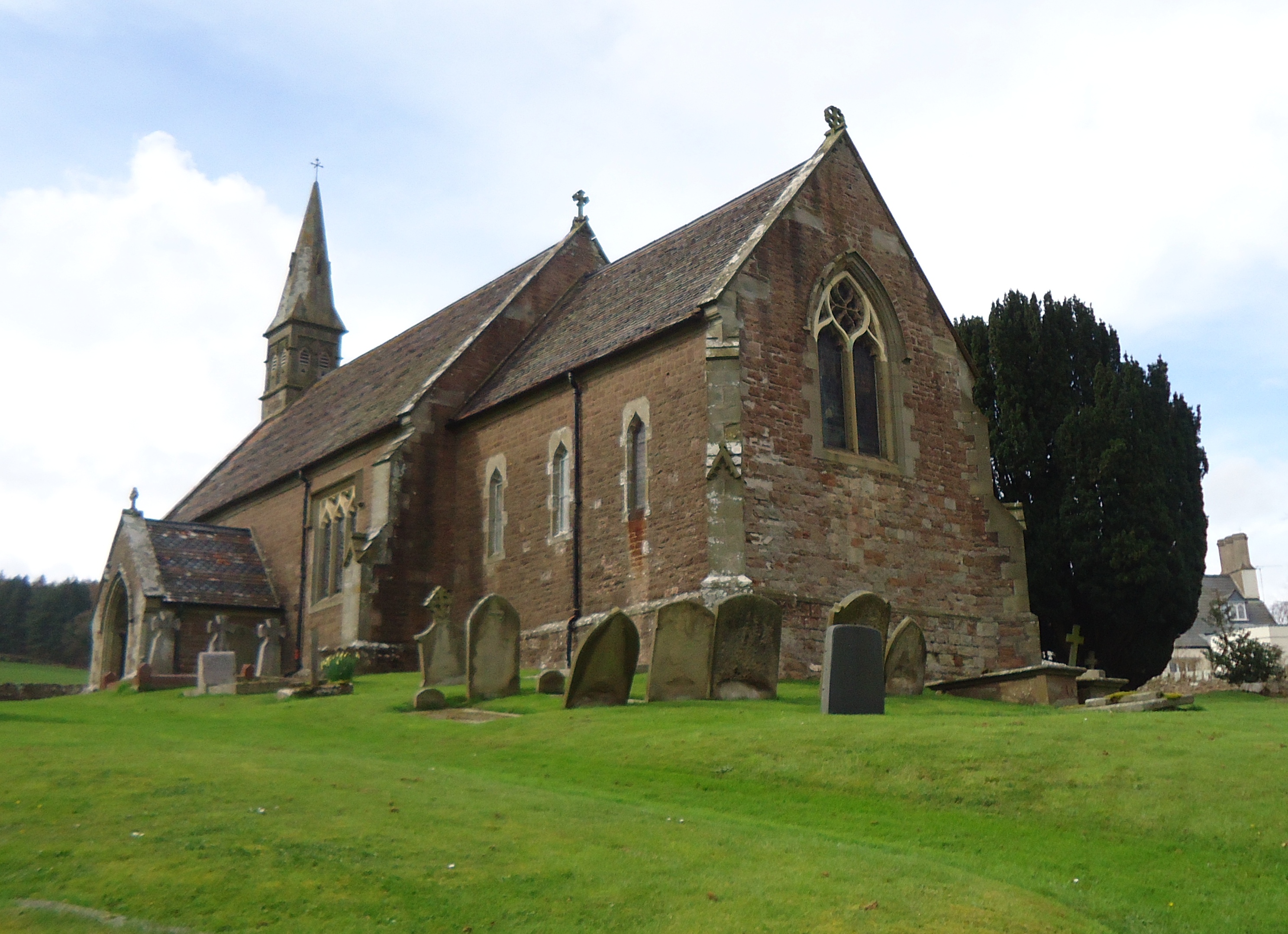
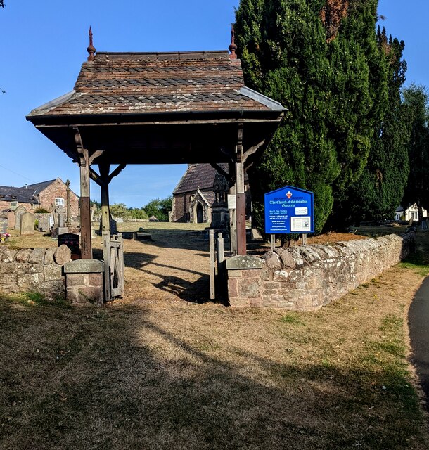
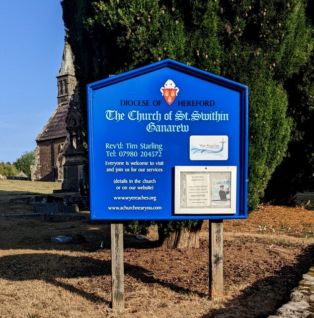
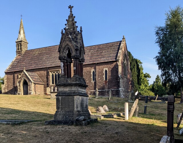
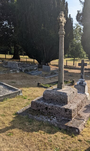
Church of St Swithin, Ganarew

The Church of St Swithin is a parish church in Ganarew, south Herefordshire, England. The parish church is dedicated to St Swithin, although the 1868 National...

Wyastone Leys

Wyastone Leys is a country house estate and Grade II listed building situated near Ganarew, in the southwestern corner of The Doward, in Herefordshire...

Nearby Amenities

Located within 500m of 51.84404,-2.6727018
Little Doward
Is In: Herefordshire
Place: hamlet
Lat/Long: 51.8447294/-2.6703419
Little Doward Iron Age Hill Fort
Historic: archaeological_site
Wikidata: Q7730776
Wikipedia: en:The Doward
Lat/Long: 51.8407/-2.6705376
Bench
Backrest: yes
Material: wood
Seats: 2
Lat/Long: 51.8410427/-2.6726818
Hermits Hut garden feature
Historic: archaeological_site
Lat/Long: 51.8411801/-2.6729437
Doward House
Addr Housename: Doward House
Addr Street: Little Doward
Building: yes
Wikidata: Q26391592
Lat/Long: 51.8462407/-2.6702989
Post Box
Post Box Type: wall
Ref: HR9 587
Royal Cypher: VR
Royal Cypher Wikidata: Q33102356
Lat/Long: 51.8470049/-2.6717806
Man Made: survey_point
Lat/Long: 51.8418203/-2.6716612
Crocker's Ash
Place: hamlet
Source: OS_OpenData_StreetView
Wikidata: Q23072530
Lat/Long: 51.8468906/-2.6714104
Direction: 145
Generator Method: photovoltaic
Generator Output Electricity: yes
Generator Solar Modules: 16
Generator Source: solar
Generator Type: solar_photovoltaic_panel
Location: roof
Power: generator
Lat/Long: 51.8462046/-2.6722258
Parking
Lat/Long: 51.8477887/-2.6748622
Parking
Lat/Long: 51.8478799/-2.6752189
Telephone
Booth: K6
Covered: booth
Man Made: telephone_box
Operator: Whitchurch and Ganarew Parish Council
Tourism: information
Lat/Long: 51.8467546/-2.6723026
The data included in this document is from www.openstreetmap.org. The data is made available under ODbL.

Have you been to Long Close Wood?

Leave your review of Long Close Wood below (or comments, questions and feedback).