Underhelm Wood

Wood, Forest in Westmorland South Lakeland

England

Underhelm Wood

View to Natland
View to Natland Credit: N Chadwick

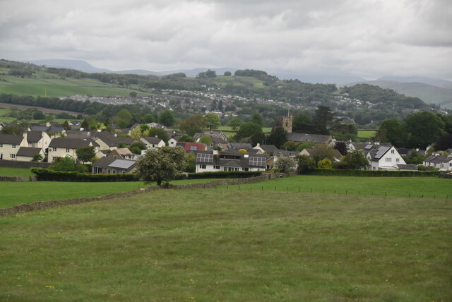
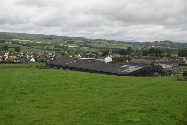
Underhelm Wood, located in Westmorland, is a picturesque forest that covers an area of approximately 500 acres. Situated in the northwestern part of England, this woodland is known for its natural beauty and diverse ecosystem. The wood is predominantly composed of broadleaf trees, including oak, beech, and ash, creating a rich and vibrant canopy.

The forest is a haven for wildlife enthusiasts and nature lovers, as it is home to a wide range of animal species. Visitors may spot red squirrels, roe deer, and a variety of bird species, including woodpeckers and owls. The wood's varied topography, with gentle slopes and small streams, further enhances its biodiversity, providing habitats for numerous creatures.

Underhelm Wood is a popular destination for outdoor activities such as hiking and birdwatching. It offers a network of well-maintained trails that wind through the forest, allowing visitors to explore its hidden gems. The wood also has designated picnic areas, making it an ideal spot for a family day out.

In addition to its natural splendor, Underhelm Wood holds historical significance. The forest has remnants of ancient settlements, including Bronze Age burial mounds and Iron Age earthworks, providing a glimpse into the area's rich heritage.

Managed by the local forestry commission, Underhelm Wood is diligently maintained to preserve its ecological balance and protect its diverse flora and fauna. The forest is open to the public year-round, offering a peaceful retreat and an opportunity to reconnect with nature in the heart of Westmorland.

If you have any feedback on the listing, please let us know in the comments section below.

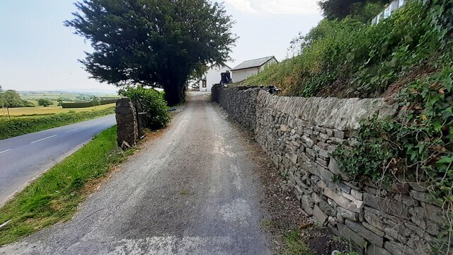
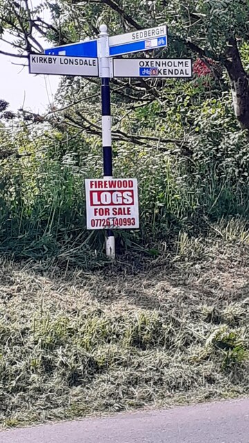
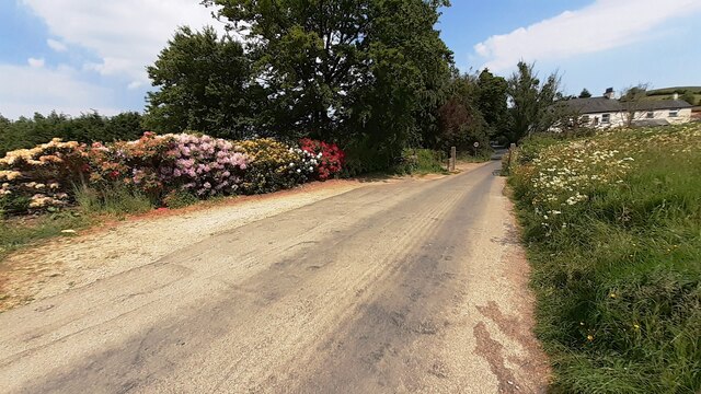
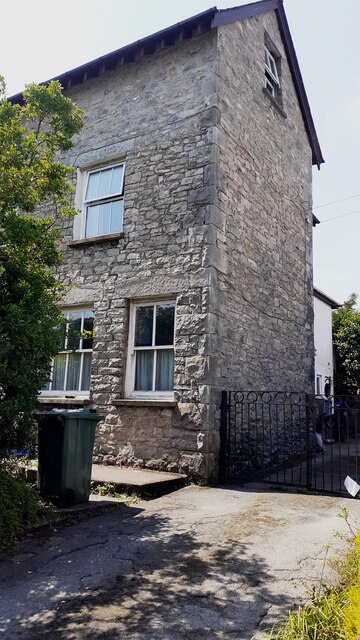
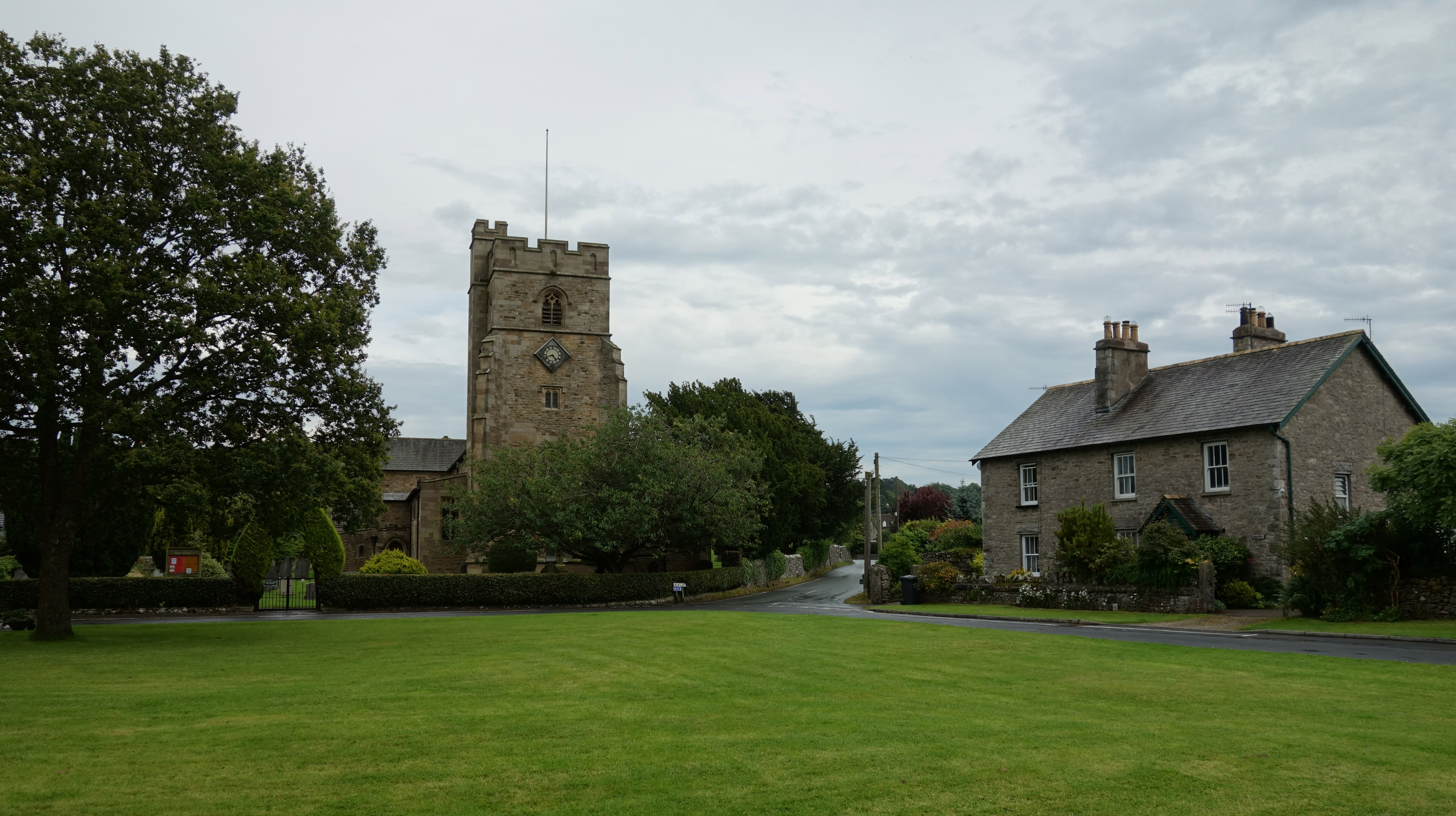
Underhelm Wood Images

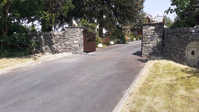
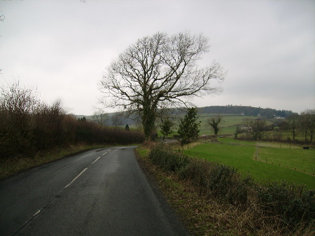
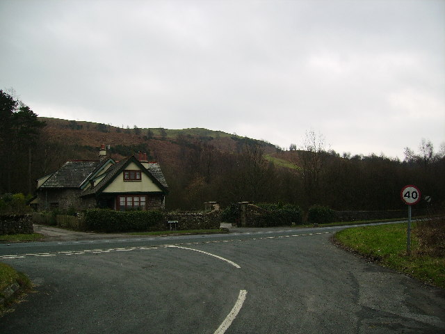
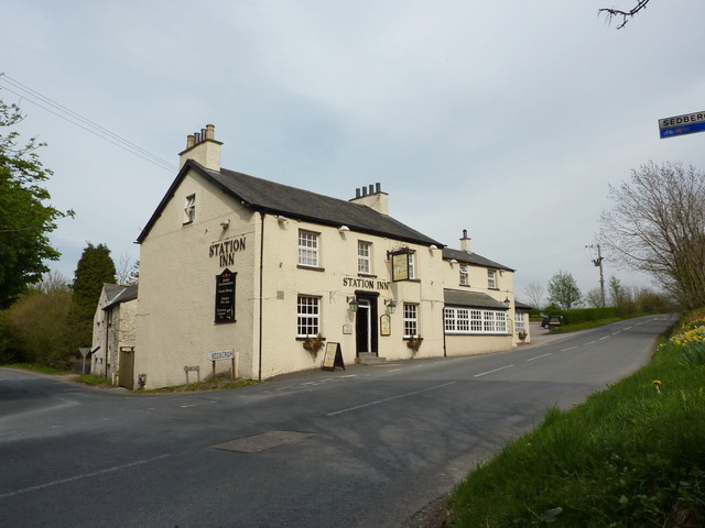
Images are sourced within 2km of 54.298531/-2.7120317 or Grid Reference SD5389. Thanks to Geograph Open Source API. All images are credited.

View to Natland
View to Natland
High House
High House
Old Milestone, B6254, Middleshaw, Parish of Old Hutton and Holmescales The milestone is located 200m South of the village edge against the wall on the North side of road. Carved stone post, Kirkby Kendal stone design, erected by the Kendal, Kirkby Lonsdale, Milnthorpe turnpike trust in the 19th century.

Repainted by John Heap, John Shorrock and Arthur Robinson from Old Hutton & Holmescales Parish Council, August 2021. See  <a title="https://www.geograph.org.uk/photo/6865247" href="https://www.geograph.org.uk/photo/6865247">Link</a> taken before the repainting.

Inscription reads:- KIRKBY / LONSDALE / 8 : : KENDAL / 4 
Carved benchmark on top

Grade II Listed by Historic England, list entry number 1137692 <span class="nowrap"><a title="https://historicengland.org.uk/listing/the-list/list-entry/1137692" rel="nofollow ugc noopener" href="https://historicengland.org.uk/listing/the-list/list-entry/1137692">Link</a><img style="margin-left:2px;" alt="External link" title="External link - shift click to open in new window" src="https://s1.geograph.org.uk/img/external.png" width="10" height="10"/></span>

Milestone Society National ID: WE_KLKDa08
Old Milestone, B6254, Middleshaw, Parish of Old Hutton and Holmescales
The milestone is located 200m South of the village edge against the wall on the North side of road. Carved stone post, Kirkby Kendal stone design, erected by the Kendal, Kirkby Lonsdale, Milnthorpe turnpike trust in the 19th century. Repainted by John Heap, John Shorrock and Arthur Robinson from Old Hutton & Holmescales Parish Council, August 2021. See Link taken before the repainting. Inscription reads:- KIRKBY / LONSDALE / 8 : : KENDAL / 4 Carved benchmark on top Grade II Listed by Historic England, list entry number 1137692 LinkExternal link Milestone Society National ID: WE_KLKDa08
Old Boundary Marker on the B6254 at Saint Sunday's Bridge Parish Boundary Marker incised in the southern parapet of Saint Sunday's Bridge on the B6254 750 metres northwest of Middleshaw. On the boundary of Old Hutton and Homescales and New Hutton parishes. Inscribed OLD HUTTON and NEW HUTTON in two adjacent coping stones. Re-painted in August 2021 by John Heap, John Shorrock and Arthur Robinson from Old Hutton and Holmescales Parish Council. See also <a title="https://www.geograph.org.uk/photo/6094846" href="https://www.geograph.org.uk/photo/6094846">Link</a> and <a title="https://www.geograph.org.uk/photo/6864933" href="https://www.geograph.org.uk/photo/6864933">Link</a>.

Milestone Society National ID: WE_KLKDa08pb
Old Boundary Marker on the B6254 at Saint Sunday's Bridge
Parish Boundary Marker incised in the southern parapet of Saint Sunday's Bridge on the B6254 750 metres northwest of Middleshaw. On the boundary of Old Hutton and Homescales and New Hutton parishes. Inscribed OLD HUTTON and NEW HUTTON in two adjacent coping stones. Re-painted in August 2021 by John Heap, John Shorrock and Arthur Robinson from Old Hutton and Holmescales Parish Council. See also Link and Link. Milestone Society National ID: WE_KLKDa08pb
Benchmark on gatepost beside minor road from B6254 to The Helm Ordnance Survey cut mark benchmark levelled at 125.064m above Newlyn Datum verified 1969
Benchmark on gatepost beside minor road from B6254 to The Helm
Ordnance Survey cut mark benchmark levelled at 125.064m above Newlyn Datum verified 1969
NW side of road to The Helm at B6254 junction There is an Ordnance Survey benchmark <a href="https://www.geograph.org.uk/photo/7509072">SD5389 : Benchmark on gatepost beside minor road from B6254 to The Helm</a> on the gatepost
NW side of road to The Helm at B6254 junction
There is an Ordnance Survey benchmark SD5389 : Benchmark on gatepost beside minor road from B6254 to The Helm on the gatepost
Entrance drive to Helm End from B6254 Ordnance Survey documents indicate that a benchmark levelled at 123.725m above Newlyn Datum was verified on a gatepost at the left hand side of the drive
Entrance drive to Helm End from B6254
Ordnance Survey documents indicate that a benchmark levelled at 123.725m above Newlyn Datum was verified on a gatepost at the left hand side of the drive
Finger signpost on south side of B6254 opposite Station Inn
Road from The Helm to junction with B6254 opposite the Station Inn Rhododendron in flower in hedge on left hand side of the road
Road from The Helm to junction with B6254 opposite the Station Inn
Rhododendron in flower in hedge on left hand side of the road
Fas-na-Coile and its garage
Footpath to Natland from Burton Road (A65) The path runs beside the West Coast Main Line railway
Footpath to Natland from Burton Road (A65)
The path runs beside the West Coast Main Line railway
Garage at Fas-na-Coile Ordnance Survey documents indicate that a benchmark levelled at 134.109m above Newlyn Datum was verified on the near corner of the building in 1970
Garage at Fas-na-Coile
Ordnance Survey documents indicate that a benchmark levelled at 134.109m above Newlyn Datum was verified on the near corner of the building in 1970
Benchmark on NE face of former shop Helm Garth on NW side of Helmsdale Road Ordnance Survey cut mark benchmark levelled at 94.575m above Newlyn Datum verified 1970.
Benchmark on NE face of former shop Helm Garth on NW side of Helmsdale Road
Ordnance Survey cut mark benchmark levelled at 94.575m above Newlyn Datum verified 1970.
Semi detached house (former shop) on NW side of Helmsdale Road There is an Ordnance Survey benchmark <a href="https://www.geograph.org.uk/photo/7519005">SD5289 : Benchmark on NE face of former shop Helm Garth on NW side of Helmsdale Road</a>  on the side of the house at its rear corner
Semi detached house (former shop) on NW side of Helmsdale Road
There is an Ordnance Survey benchmark SD5289 : Benchmark on NE face of former shop Helm Garth on NW side of Helmsdale Road on the side of the house at its rear corner
Entrance to Brow Head from NE side of Burton Road Ordnance Survey documents indicate that a benchmark levelled at 86.607m above Newlyn Datum was verified in 1970 on the wall  1m left of the entrance which appears to have been remodelled in 2012
Entrance to Brow Head from NE side of Burton Road
Ordnance Survey documents indicate that a benchmark levelled at 86.607m above Newlyn Datum was verified in 1970 on the wall 1m left of the entrance which appears to have been remodelled in 2012
Country Road Between Oxenholme and Old Hutton
Country Road
Between Oxenholme and Old Hutton
Road The Helm Road on the slopes of The Helm a small hill outside Oxenholme
Road The Helm
Road on the slopes of The Helm a small hill outside Oxenholme
Burton Road South of Kendal. Slopes of the Helm on the skyline
Burton Road
South of Kendal. Slopes of the Helm on the skyline
Show me another place!

Underhelm Wood is located at Grid Ref: SD5389 (Lat: 54.298531, Lng: -2.7120317)

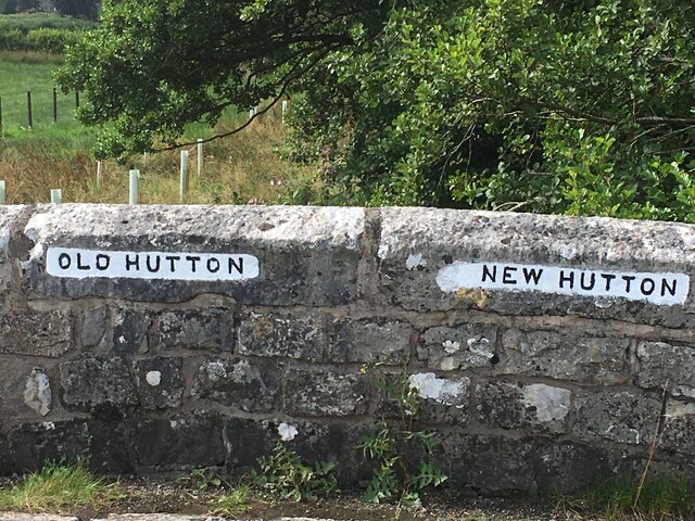
Administrative County: Cumbria

District: South Lakeland

Police Authority: Cumbria

What 3 Words

///fonts.tooth.plot. Near Kendal, Cumbria

Nearby Locations

Underhelm Wood Oxenholme

Related Wikis

Oxenholme

Oxenholme is a village in England just south of the town of Kendal, with which it has begun to merge. It is best known for Oxenholme Lake District railway...

Oxenholme Lake District railway station

Oxenholme Lake District railway station in Oxenholme, near Kendal, Cumbria, England, is on the West Coast Main Line and at the start of the Windermere...

Westmorland General Hospital

Westmorland General Hospital (WGH) is a hospital near Oxenholme in Kendal, Cumbria, England. It is managed by the University Hospitals of Morecambe Bay...

Natland

Natland is a village and civil parish about two miles (3 km) south of Kendal in the South Lakeland district of Cumbria, England, close to the village of...

Nearby Amenities

Located within 500m of 54.298531,-2.7120317
Barrier: kissing_gate
Lat/Long: 54.2998812/-2.7170515
Power: pole
Lat/Long: 54.2984643/-2.7044875
Power: pole
Lat/Long: 54.2993314/-2.7053914
Power: pole
Lat/Long: 54.3002173/-2.7053056
Parking
Source: survey
Lat/Long: 54.3009159/-2.7082328
Power: pole
Lat/Long: 54.3024388/-2.7105681
Power: pole
Lat/Long: 54.3019621/-2.7107944
Power: pole
Lat/Long: 54.2986812/-2.705494
Power: pole
Lat/Long: 54.2981586/-2.707101
Power: pole
Lat/Long: 54.297655/-2.7086524
Power: pole
Lat/Long: 54.2972767/-2.7097704
Power: pole
Lat/Long: 54.2972924/-2.7109613
The data included in this document is from www.openstreetmap.org. The data is made available under ODbL.

Have you been to Underhelm Wood?

Leave your review of Underhelm Wood below (or comments, questions and feedback).