Sanger Wood
Wood, Forest in Herefordshire
England
Sanger Wood
Sanger Wood is a pristine woodland located in the county of Herefordshire, England. Nestled in the heart of the countryside, it covers an area of approximately 200 acres and is a haven for nature enthusiasts and outdoor enthusiasts alike. The wood is characterized by its diverse range of flora and fauna, making it a significant natural habitat and a designated Site of Special Scientific Interest.
The wood is primarily composed of broadleaf trees such as oak, beech, and birch, which create a vibrant and colorful canopy during the autumn months. The dense undergrowth is home to a plethora of woodland plants, including bluebells, wood sorrel, and wild garlic, which add to the beauty and biodiversity of the area.
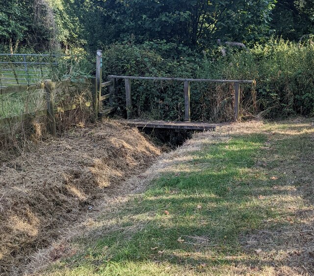
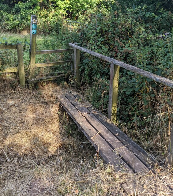
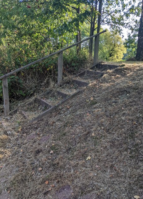
Sanger Wood is known for its tranquil atmosphere, providing visitors with a serene escape from the hustle and bustle of everyday life. It offers a variety of walking trails, allowing visitors to explore its hidden corners and discover its natural wonders. The wood is also intersected by a meandering stream, adding to its charm and providing a habitat for various aquatic species.
The wood is teeming with wildlife, making it a popular spot for birdwatching and wildlife photography. Visitors may catch glimpses of native species such as red squirrels, tawny owls, and woodpeckers, as well as a variety of butterflies and insects.
Sanger Wood is managed by local conservation organizations, which ensure its preservation and promote responsible enjoyment of the woodland. With its unparalleled beauty and abundant wildlife, Sanger Wood is a true gem in the Herefordshire countryside, attracting nature enthusiasts and providing a sanctuary for both humans and wildlife alike.
If you have any feedback on the listing, please let us know in the comments section below.
Sanger Wood Images
Images are sourced within 2km of 51.845309/-2.6834918 or Grid Reference SO5316. Thanks to Geograph Open Source API. All images are credited.


Sanger Wood is located at Grid Ref: SO5316 (Lat: 51.845309, Lng: -2.6834918)
Unitary Authority: County of Herefordshire
Police Authority: West Mercia
What 3 Words
///clocks.inflamed.ladder. Near Whitchurch, Herefordshire
Nearby Locations
Related Wikis
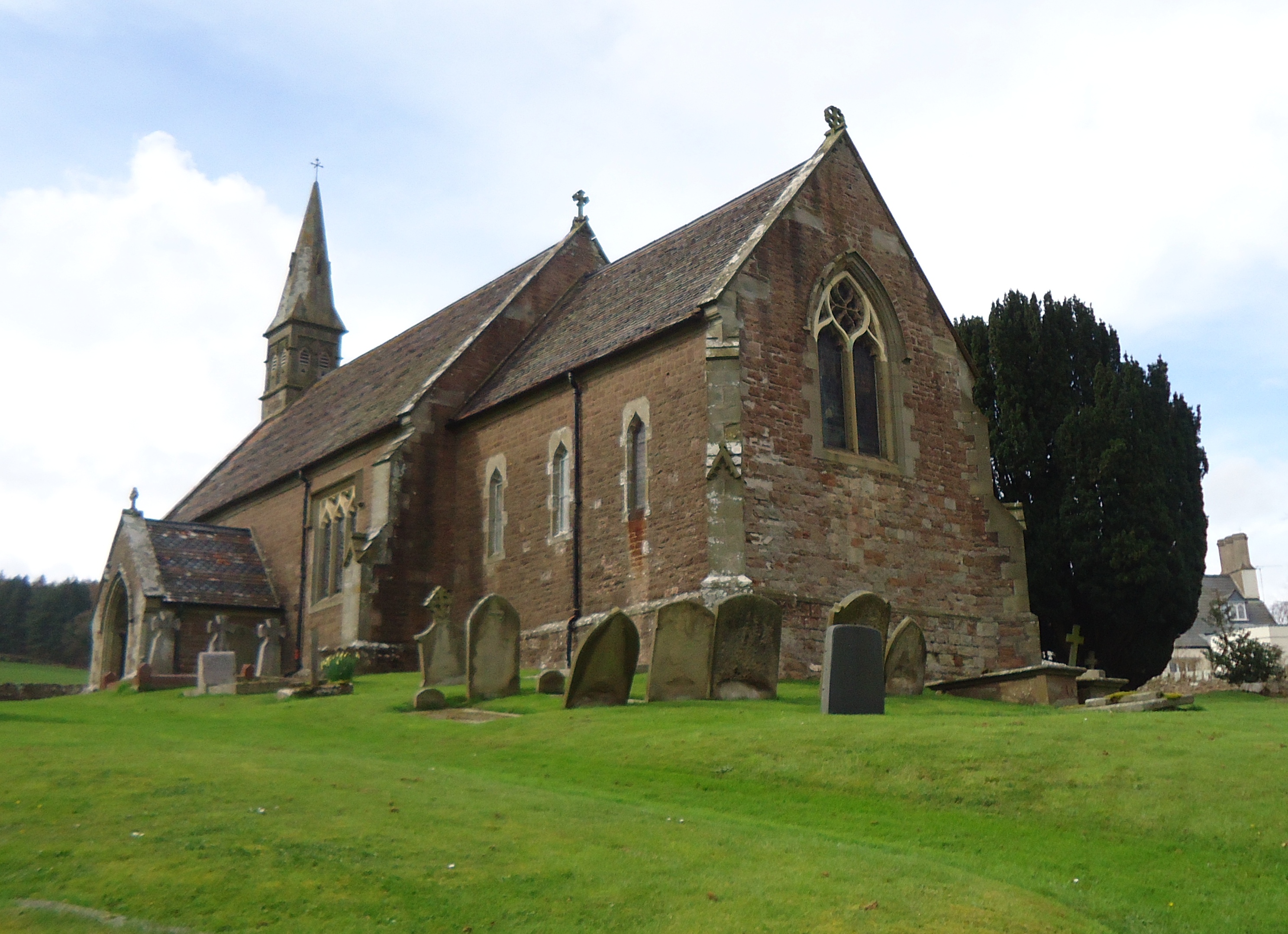
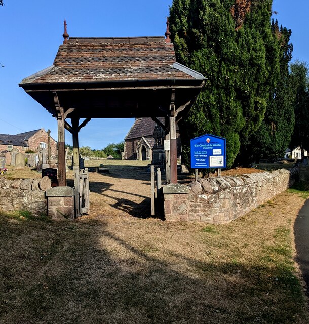
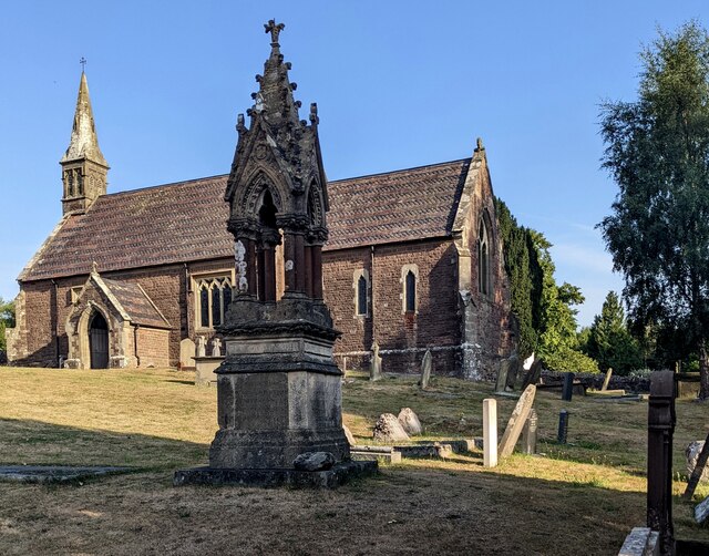
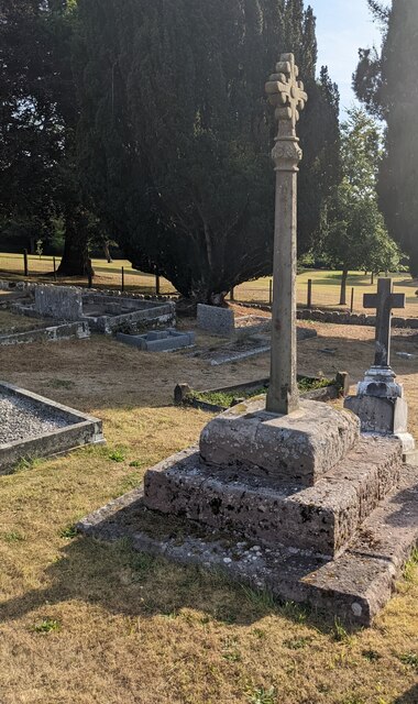
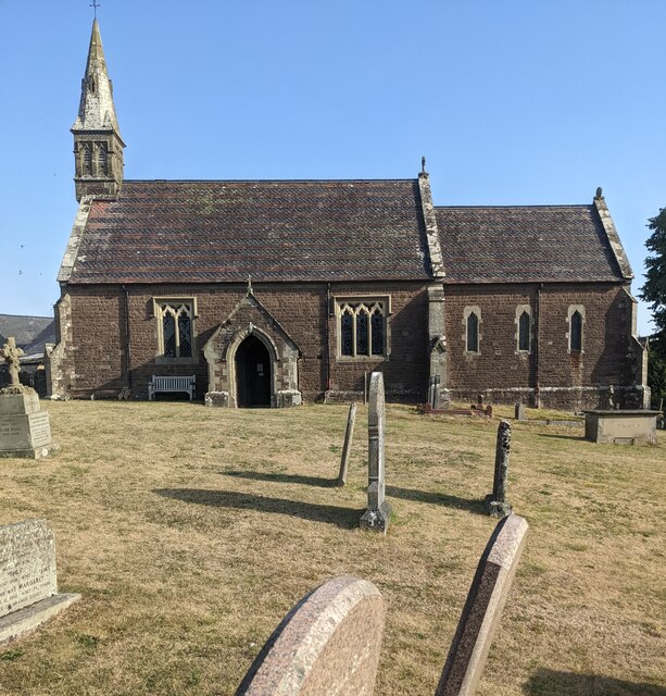
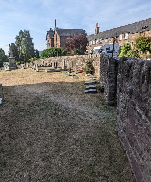
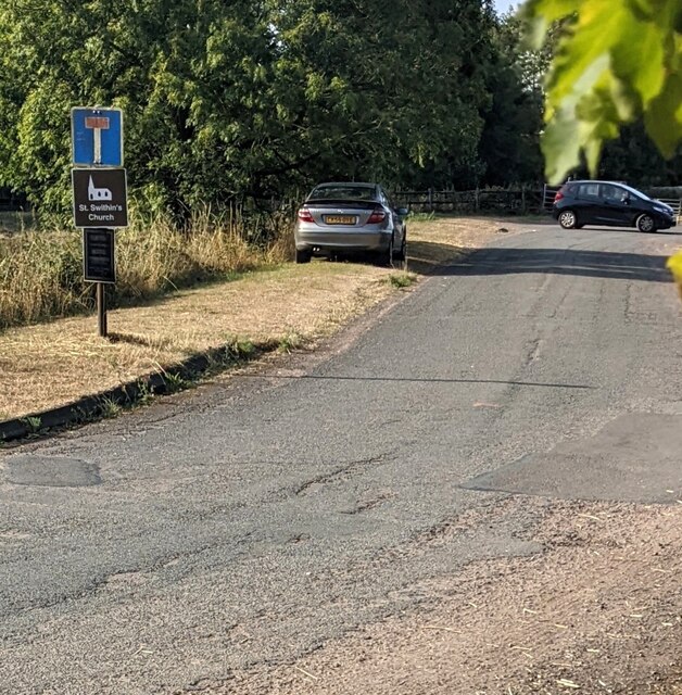
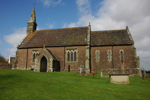
Church of St Swithin, Ganarew
The Church of St Swithin is a parish church in Ganarew, south Herefordshire, England. The parish church is dedicated to St Swithin, although the 1868 National...
Ganarew
Ganarew (from Welsh: Genau'r Rhiw; 'Gana-rhiw', and 'Gan y rew') is a village and small civil parish in south Herefordshire, England near the River Wye...

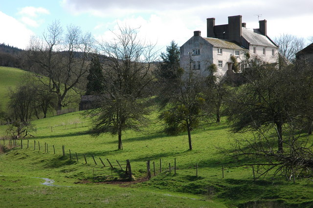
Wyastone Leys
Wyastone Leys is a country house estate and Grade II listed building situated near Ganarew, in the southwestern corner of The Doward, in Herefordshire...

The Doward
The Doward (Welsh: Deuarth Fach, lit. "two small hills"), is an area in the parish of Whitchurch in south Herefordshire, England, consisting of the hills...
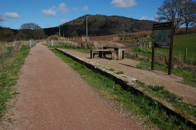
Hadnock Halt railway station
Hadnock Halt railway station is a disused railway station on the Ross and Monmouth Railway which was only open for eight years, 1951 to 1959, closing when...
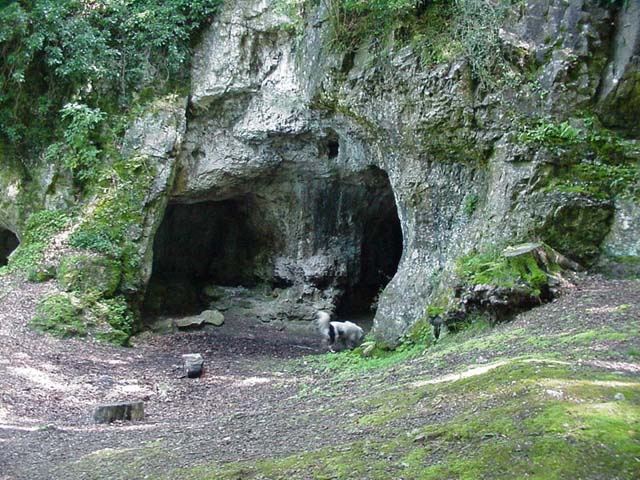
King Arthur's Cave
King Arthur's Cave is a limestone cave at the foot of a low cliff at the north-western end of Lord's Wood in The Doward, near Symonds Yat, Herefordshire...
Hadnock
Hadnock is an area of farmland and woodland in Monmouthshire, Wales, 1.5 miles (2.4 km) north-east of Monmouth, on the east bank of the River Wye adjoining...

Buckholt, Monmouthshire
Buckholt is a small village in Monmouthshire, Wales, located some 2 miles (3.2 km) north of Monmouth, adjoining the boundary with Herefordshire, England...
Nearby Amenities
Located within 500m of 51.845309,-2.6834918Have you been to Sanger Wood?
Leave your review of Sanger Wood below (or comments, questions and feedback).