Breconhill Plantation

Wood, Forest in Cumberland Carlisle

England

Breconhill Plantation

Brampton town centre
Brampton town centre Credit: Steven Brown

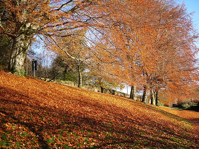
Breconhill Plantation is a picturesque woodland located in Cumberland, England. With its lush greenery and diverse flora and fauna, the plantation attracts nature lovers, hikers, and birdwatchers alike. Covering a vast area, the plantation is a haven for those seeking tranquility and a connection with nature.

The woodland is predominantly composed of oak, beech, and birch trees, creating a rich and varied canopy. The vibrant undergrowth is scattered with bluebells, ferns, and wildflowers, adding to the plantation's natural beauty. The dense foliage provides a habitat for numerous species of birds, including woodpeckers, thrushes, and owls, making it a popular spot for birdwatching enthusiasts.

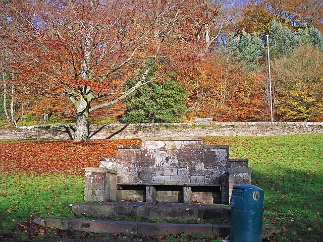
Breconhill Plantation offers a network of well-maintained walking trails, allowing visitors to explore its hidden treasures. The paths wind through the woodland, offering glimpses of ancient trees and occasional wildlife sightings. The plantation also features a picnic area, where visitors can relax and enjoy the serene surroundings.

The plantation's history dates back several centuries, with evidence of human presence and activity. It has served various purposes throughout the years, including timber production and game hunting. Today, it stands as a protected area, managed by the local authorities to preserve its natural beauty and ecological significance.

Breconhill Plantation is a true gem in the Cumberland region, attracting visitors with its enchanting woodland, diverse wildlife, and peaceful atmosphere. Whether one seeks adventure or simply desires to escape the hustle and bustle of everyday life, this plantation offers an idyllic retreat in the heart of nature.

If you have any feedback on the listing, please let us know in the comments section below.

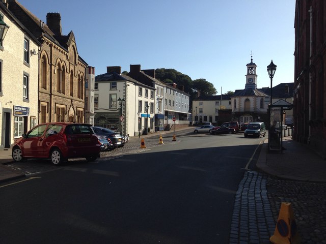
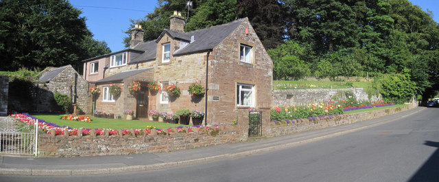
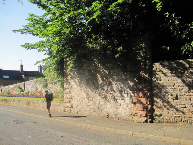
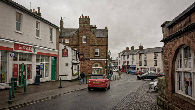
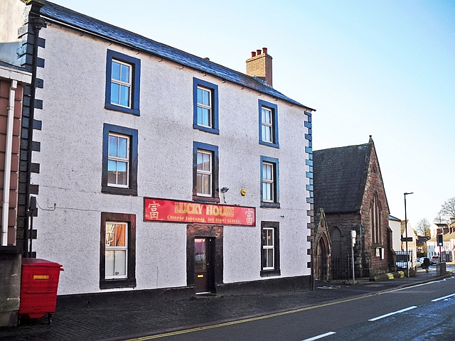
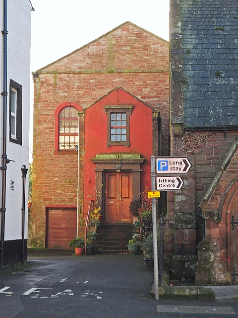
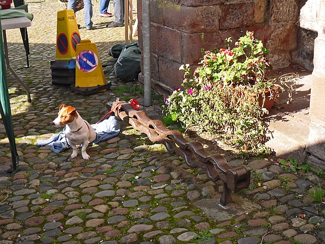
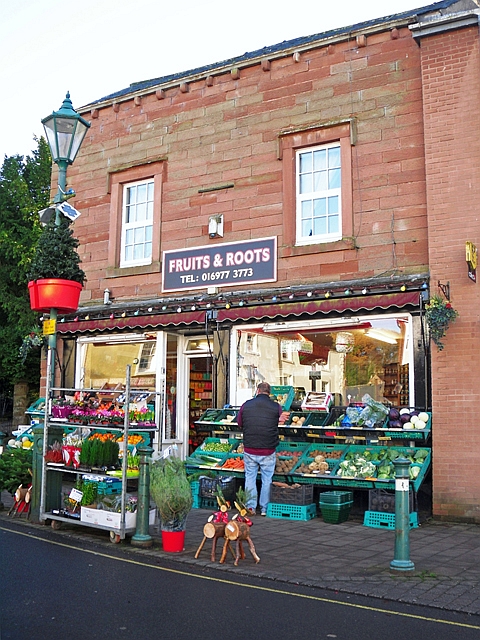
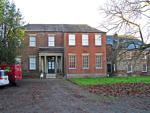
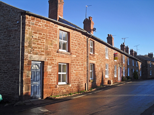
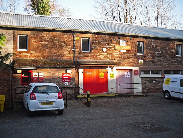
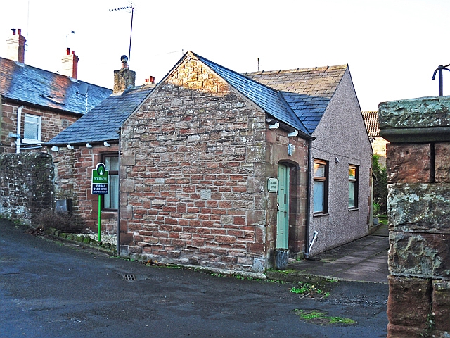
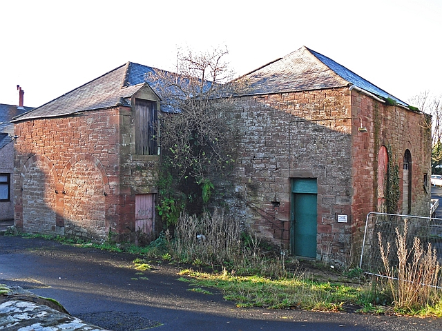
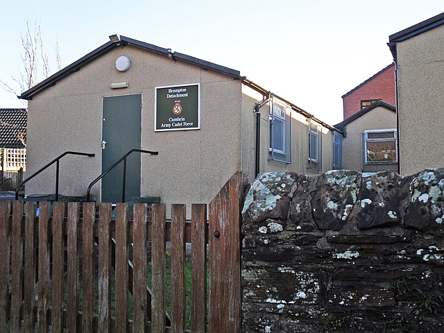
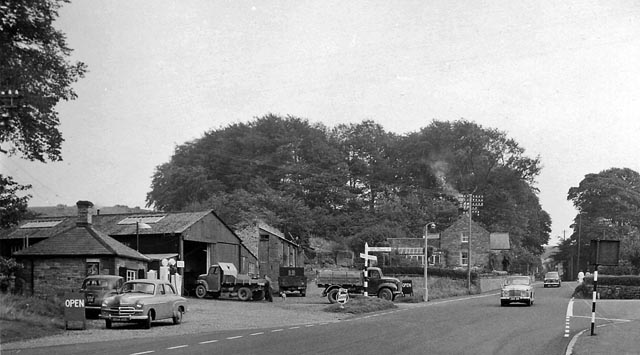
Breconhill Plantation Images

Images are sourced within 2km of 54.95347/-2.7351065 or Grid Reference NY5362. Thanks to Geograph Open Source API. All images are credited.

Brampton town centre
House on the Edge of Brampton Beautiful garden
House on the Edge of Brampton
Beautiful garden
Abutment of Early Railway Bridge Leading to Brampton Station The original railway line into Brampton closed in 1923 which meant the nearest railway station was at Brampton Junction formerly known as Milton Station.
Abutment of Early Railway Bridge Leading to Brampton Station
The original railway line into Brampton closed in 1923 which meant the nearest railway station was at Brampton Junction formerly known as Milton Station.
Brampton town centre
Murray Park, Brampton Beech trees in November.
Murray Park, Brampton
Beech trees in November.
Memorial bench, Murray Park There is an inscription (rather worn) on the back of the red sandstone seat. It says 'In remembrance of Agnes Elizabeth Murray ; 1894-1922 ; Joy in thee continually'.
Agnes was the sister of Stephen Murray of Hallbankgate. The seat was erected by Mary Murray, who also gifted the park to the town (information from Brampton Walks <span class="nowrap"><a title="http://www.bramptonparishcouncil.co.uk/attachments/article/13/Brampton%20Walks.pdf" rel="nofollow ugc noopener" href="http://www.bramptonparishcouncil.co.uk/attachments/article/13/Brampton%20Walks.pdf">Link</a><img style="margin-left:2px;" alt="External link" title="External link - shift click to open in new window" src="https://s1.geograph.org.uk/img/external.png" width="10" height="10"/></span> ).
Agnes's father was the scholar and activist Gilbert Murray, her mother was Lady Mary Howard, daughter of the 9th Earl of Carlisle. Agnes Elizabeth went to Somerville College, Oxford, but gave up her studies to become a nurse, RAF dispatch rider and ambulance driver (information from Wikipedia  <span class="nowrap"><a title="https://en.wikipedia.org/wiki/Gilbert_Murray" rel="nofollow ugc noopener" href="https://en.wikipedia.org/wiki/Gilbert_Murray">Link</a><img style="margin-left:2px;" alt="External link" title="External link - shift click to open in new window" src="https://s1.geograph.org.uk/img/external.png" width="10" height="10"/></span> ).
Memorial bench, Murray Park
There is an inscription (rather worn) on the back of the red sandstone seat. It says 'In remembrance of Agnes Elizabeth Murray ; 1894-1922 ; Joy in thee continually'. Agnes was the sister of Stephen Murray of Hallbankgate. The seat was erected by Mary Murray, who also gifted the park to the town (information from Brampton Walks LinkExternal link ). Agnes's father was the scholar and activist Gilbert Murray, her mother was Lady Mary Howard, daughter of the 9th Earl of Carlisle. Agnes Elizabeth went to Somerville College, Oxford, but gave up her studies to become a nurse, RAF dispatch rider and ambulance driver (information from Wikipedia LinkExternal link ).
Moat Street, Brampton A terrace of red sandstone houses, towards the top of the street.
Moat Street, Brampton
A terrace of red sandstone houses, towards the top of the street.
Disused school building, Moat Street Built in 1856 for an expanding National School, it became a Board School in the 1870s and was enlarged to accommodate 600 pupils (Bulmer's Directory 1901 <span class="nowrap"><a title="http://www.stevebulman.f9.co.uk/cumbria/1901/brampton1901_f.html" rel="nofollow ugc noopener" href="http://www.stevebulman.f9.co.uk/cumbria/1901/brampton1901_f.html">Link</a><img style="margin-left:2px;" alt="External link" title="External link - shift click to open in new window" src="https://s1.geograph.org.uk/img/external.png" width="10" height="10"/></span> ). In the earlier 20th century it was a through school, with children starting as infants and leaving at about 14.
When Brampton Junior School moved to new buildings nearby in around 1960, the Infant School remained at Moat Street. In 2008 the two schools were merged, and this site was vacated shortly afterwards.
Disused school building, Moat Street
Built in 1856 for an expanding National School, it became a Board School in the 1870s and was enlarged to accommodate 600 pupils (Bulmer's Directory 1901 LinkExternal link ). In the earlier 20th century it was a through school, with children starting as infants and leaving at about 14. When Brampton Junior School moved to new buildings nearby in around 1960, the Infant School remained at Moat Street. In 2008 the two schools were merged, and this site was vacated shortly afterwards.
Lucky House Chinese takeaway Until recently this building was a pub called The Oddfellows Arms - see Geograph photo taken 2013 <a title="https://www.geograph.org.uk/photo/3765695" href="https://www.geograph.org.uk/photo/3765695">Link</a> . Previously named the Bush Hotel, it had been an inn from at least the late 19th century (photo on Dufton family history site <span class="nowrap"><a title="http://www.dufton.info/cumbrian.htm" rel="nofollow ugc noopener" href="http://www.dufton.info/cumbrian.htm">Link</a><img style="margin-left:2px;" alt="External link" title="External link - shift click to open in new window" src="https://s1.geograph.org.uk/img/external.png" width="10" height="10"/></span> ).
Located in Main Street, with the United Reformed Church seen to the right.
Lucky House Chinese takeaway
Until recently this building was a pub called The Oddfellows Arms - see Geograph photo taken 2013 Link . Previously named the Bush Hotel, it had been an inn from at least the late 19th century (photo on Dufton family history site LinkExternal link ). Located in Main Street, with the United Reformed Church seen to the right.
Converted chapel off Main Street Situated down a lane between the Lucky House Chinese takeaway (L) and Brampton United Reformed Church (R).
Built in 1818, this was Zion Chapel, denomination Calvinist Independent (information from Genuki <span class="nowrap"><a title="http://www.genuki.org.uk/cgi-bin/churchentry?CCC=CUL,ID=23" rel="nofollow ugc noopener" href="http://www.genuki.org.uk/cgi-bin/churchentry?CCC=CUL,ID=23">Link</a><img style="margin-left:2px;" alt="External link" title="External link - shift click to open in new window" src="https://s1.geograph.org.uk/img/external.png" width="10" height="10"/></span> ).
A Grade II listed building - designated in 1984, when it was being used as a warehouse <span class="nowrap"><a title="http://www.imagesofengland.org.uk/details/default.aspx?id=77843" rel="nofollow ugc noopener" href="http://www.imagesofengland.org.uk/details/default.aspx?id=77843">Link</a><img style="margin-left:2px;" alt="External link" title="External link - shift click to open in new window" src="https://s1.geograph.org.uk/img/external.png" width="10" height="10"/></span> . Since then it has been converted into three flats, called Chapel Court.
Converted chapel off Main Street
Situated down a lane between the Lucky House Chinese takeaway (L) and Brampton United Reformed Church (R). Built in 1818, this was Zion Chapel, denomination Calvinist Independent (information from Genuki LinkExternal link ). A Grade II listed building - designated in 1984, when it was being used as a warehouse LinkExternal link . Since then it has been converted into three flats, called Chapel Court.
Iron stocks, Brampton Market Place In front of an alcove below the Moot Hall (moved from their original position, which was on the other side of the building).
The last time the stocks were used was about 1836, when a man was punished for 'drunkenness and profane language' (information from 'The changing face of Brampton' by Ian Parsons <span class="nowrap"><a title="https://www.amazon.co.uk/Changing-Face-Brampton-Ian-Parsons/dp/B0083K9ZL4" rel="nofollow ugc noopener" href="https://www.amazon.co.uk/Changing-Face-Brampton-Ian-Parsons/dp/B0083K9ZL4">Link</a><img style="margin-left:2px;" alt="External link" title="External link - shift click to open in new window" src="https://s1.geograph.org.uk/img/external.png" width="10" height="10"/></span> ).
Now that we attempt to deal with antisocial behaviour in other ways, the stocks are a handy place to park the dog.
Iron stocks, Brampton Market Place
In front of an alcove below the Moot Hall (moved from their original position, which was on the other side of the building). The last time the stocks were used was about 1836, when a man was punished for 'drunkenness and profane language' (information from 'The changing face of Brampton' by Ian Parsons LinkExternal link ). Now that we attempt to deal with antisocial behaviour in other ways, the stocks are a handy place to park the dog.
Fruits & Roots, Brampton Greengrocers in Market Place, near the Moot Hall.
Fruits & Roots, Brampton
Greengrocers in Market Place, near the Moot Hall.
The Lawson Masonic Hall Originally called the Mansion House, built in 1819 for Rev Thomas Ramshay, vicar of Brampton.
A Grade II listed building - details here <span class="nowrap"><a title="http://www.imagesofengland.org.uk/details/default.aspx?id=77848" rel="nofollow ugc noopener" href="http://www.imagesofengland.org.uk/details/default.aspx?id=77848">Link</a><img style="margin-left:2px;" alt="External link" title="External link - shift click to open in new window" src="https://s1.geograph.org.uk/img/external.png" width="10" height="10"/></span> .
The Lawson Masonic Hall
Originally called the Mansion House, built in 1819 for Rev Thomas Ramshay, vicar of Brampton. A Grade II listed building - details here LinkExternal link .
Row of cottages, Craw Hall
Royal Mail Delivery Office, Brampton Occupying part of the converted Old Brewery. For a wider view of the site, see <a href="https://www.geograph.org.uk/photo/1148906">NY5360 : The Old Brewery, Brampton</a> .
Royal Mail Delivery Office, Brampton
Occupying part of the converted Old Brewery. For a wider view of the site, see NY5360 : The Old Brewery, Brampton .
Tweed Mill Cottage, Craw Hall On Lovers Lane.
Adjacent to the site of a former tweed mill, marked as 'disused' on 1901 OS map <span class="nowrap"><a title="https://www.old-maps.co.uk/#/Map/353295/561048/12/100685" rel="nofollow ugc noopener" href="https://www.old-maps.co.uk/#/Map/353295/561048/12/100685">Link</a><img style="margin-left:2px;" alt="External link" title="External link - shift click to open in new window" src="https://s1.geograph.org.uk/img/external.png" width="10" height="10"/></span> .
Tweed Mill Cottage, Craw Hall
On Lovers Lane. Adjacent to the site of a former tweed mill, marked as 'disused' on 1901 OS map LinkExternal link .
Old buildings off Lovers Lane Possibly remaining from the tweed mill which once occupied land directly to the north west? (Operational in the late 19th century, the mill caught fire a couple of times. It was marked as 'disused' on the 1901 OS map <span class="nowrap"><a title="https://www.old-maps.co.uk/#/Map/353295/561048/12/100685" rel="nofollow ugc noopener" href="https://www.old-maps.co.uk/#/Map/353295/561048/12/100685">Link</a><img style="margin-left:2px;" alt="External link" title="External link - shift click to open in new window" src="https://s1.geograph.org.uk/img/external.png" width="10" height="10"/></span> )
Old buildings off Lovers Lane
Possibly remaining from the tweed mill which once occupied land directly to the north west? (Operational in the late 19th century, the mill caught fire a couple of times. It was marked as 'disused' on the 1901 OS map LinkExternal link )
Army Cadet Force building, Lovers Lane Home of the Brampton Detachment, Cumbria Army Cadet Force.
The 1926 OS map <span class="nowrap"><a title="https://www.old-maps.co.uk/#/Map/353386/561082/12/101238" rel="nofollow ugc noopener" href="https://www.old-maps.co.uk/#/Map/353386/561082/12/101238">Link</a><img style="margin-left:2px;" alt="External link" title="External link - shift click to open in new window" src="https://s1.geograph.org.uk/img/external.png" width="10" height="10"/></span> has a drill hall marked at this location.
Army Cadet Force building, Lovers Lane
Home of the Brampton Detachment, Cumbria Army Cadet Force. The 1926 OS map LinkExternal link has a drill hall marked at this location.
Show me another place!

Breconhill Plantation is located at Grid Ref: NY5362 (Lat: 54.95347, Lng: -2.7351065)

Administrative County: Cumbria

District: Carlisle

Police Authority: Cumbria

What 3 Words

///toast.reshaping.point. Near Brampton, Cumbria

Related Wikis

King Water

King Water is a river in the north of Cumbria, England. The Brampton Angling Association has a long term let from the Earl of Carlisle for fishing rights...

William Howard School

The William Howard School is a co-educational secondary academy school on Longtown Road (A6071) in Brampton, Carlisle, Cumbria, England for pupils aged...

Moot Hall, Brampton

The Moot Hall is a municipal building in The Market Place in Brampton, Cumbria, England. The building, which is used as a local tourist information office...

St Martin's Church, Brampton

St Martin's Church is in Front Street, Brampton, Cumbria, England. It is an active Anglican parish church in the deanery of Brampton, the archdeaconry...

Brampton, Carlisle

Brampton is a market town and civil parish in the Cumberland unitary authority of Cumbria, England. It is 9 miles (14 km) east of Carlisle and 2 miles...

Brampton Town railway station

Brampton Town railway station was the terminus of the Brampton Town Branch, in the centre of Brampton, Cumbria, England. It was opened in 1775, to work...

Cam Beck

Cam Beck is a stream in Cumbria. It runs for 10.9 miles (17.6 km) past Kirkambeck and Cambeck Hill and into the River Irthing. == Toponymy == From the...

Cambeck Bridge

Cambeck Bridge is a hamlet in Cumbria, England. The bridge itself was built in the 19th century and spans the River Irthing. It is a Grade II listed building...

Nearby Amenities

Located within 500m of 54.95347,-2.7351065
Power: pole
Lat/Long: 54.9554719/-2.7383192
Power: pole
Lat/Long: 54.956057/-2.7372868
Power: pole
Lat/Long: 54.9565192/-2.7364708
Power: pole
Lat/Long: 54.9561595/-2.7348408
Power: pole
Lat/Long: 54.9558087/-2.733309
Power: pole
Lat/Long: 54.9554822/-2.7317906
Power: pole
Lat/Long: 54.9551352/-2.7302164
Power: pole
Lat/Long: 54.9554412/-2.7292821
Power: pole
Lat/Long: 54.9557203/-2.7284237
The data included in this document is from www.openstreetmap.org. The data is made available under ODbL.

Have you been to Breconhill Plantation?

Leave your review of Breconhill Plantation below (or comments, questions and feedback).