Great Easby

Settlement in Cumberland Carlisle

England

Great Easby

House on the Edge of Brampton Beautiful garden
House on the Edge of Brampton Credit: Les Hull

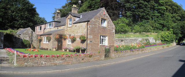
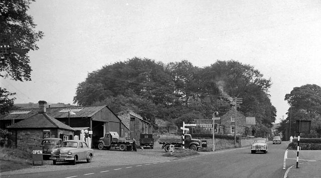
Great Easby is a small village located in the county of Cumberland, in the northwest of England. Situated near the River Eden, the village is nestled in the picturesque countryside, surrounded by rolling hills and lush green fields. With a population of approximately 300 residents, Great Easby offers a peaceful and idyllic rural setting.

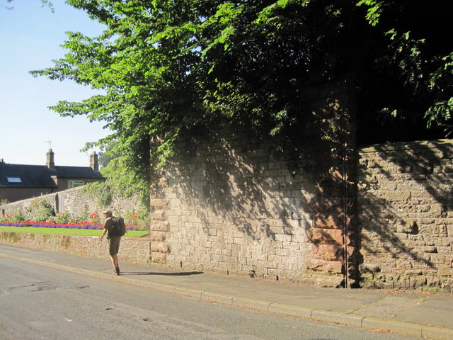
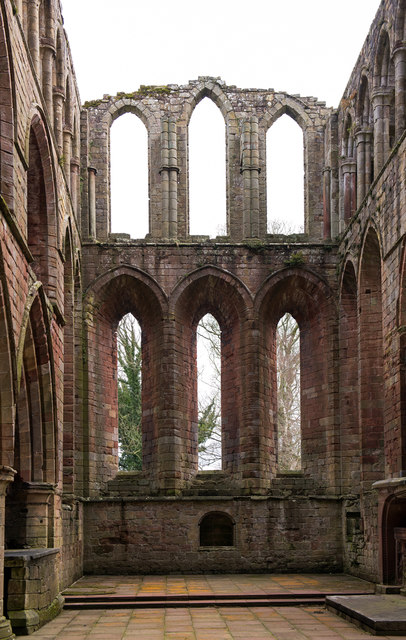
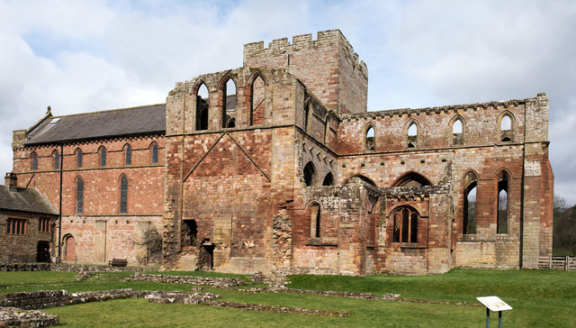
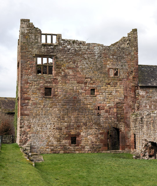
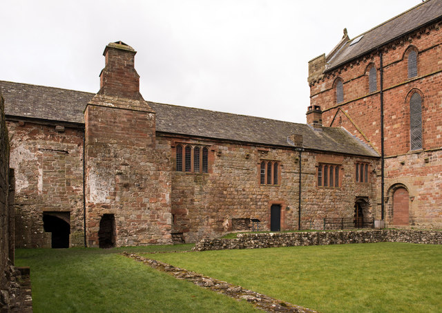
The village is rich in history, with evidence of human habitation dating back to Roman times. The remains of a Roman fort can be found nearby, highlighting the area's historical significance. Great Easby is also known for its charming architecture, with many traditional stone-built houses and cottages that have stood the test of time.

Despite its small size, Great Easby boasts a strong sense of community and offers essential amenities to its residents. There is a local pub, The Easby Arms, which serves as a meeting point for both locals and visitors. The village also has a primary school, providing education for the younger population.

The surrounding natural beauty of Great Easby offers plenty of opportunities for outdoor activities. The nearby River Eden is popular among anglers, attracting fishing enthusiasts from far and wide. The village is also surrounded by scenic walking trails, providing breathtaking views of the countryside.

Overall, Great Easby is a charming and historic village that offers a peaceful and serene lifestyle. With its close-knit community and beautiful surroundings, it is a haven for those seeking a rural retreat in the heart of Cumberland.

If you have any feedback on the listing, please let us know in the comments section below.
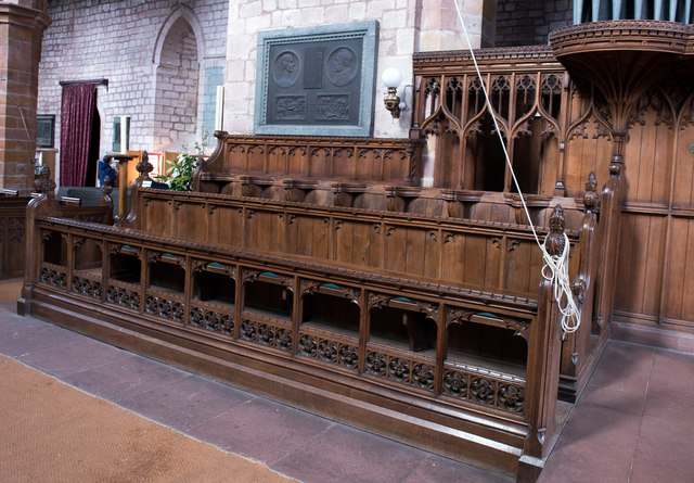
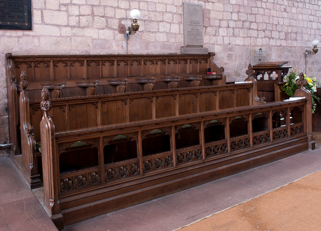
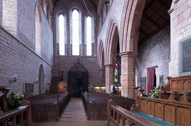
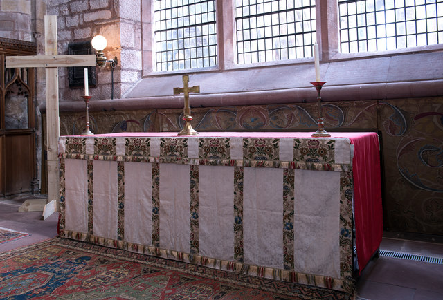
Great Easby Images

Images are sourced within 2km of 54.957743/-2.7208332 or Grid Reference NY5362. Thanks to Geograph Open Source API. All images are credited.

House on the Edge of Brampton Beautiful garden
House on the Edge of Brampton
Beautiful garden
Abutment of Early Railway Bridge Leading to Brampton Station The original railway line into Brampton closed in 1923 which meant the nearest railway station was at Brampton Junction formerly known as Milton Station.
Abutment of Early Railway Bridge Leading to Brampton Station
The original railway line into Brampton closed in 1923 which meant the nearest railway station was at Brampton Junction formerly known as Milton Station.
Brampton town centre
Lanercost Priory - March 2016 (1) Tomb of Elizabeth Dacre Howard (detail). See also: <a href="https://www.geograph.org.uk/photo/3190932">NY5563 : Child's Tomb, Lanercost Priory</a> .
Lanercost Priory - March 2016 (1)
Tomb of Elizabeth Dacre Howard (detail). See also: NY5563 : Child's Tomb, Lanercost Priory .
Lanercost Priory - March 2016 (2) Tomb of Sir Humphrey & Lady Mabel Dacre.
Lanercost Priory - March 2016 (2)
Tomb of Sir Humphrey & Lady Mabel Dacre.
Lanercost Priory - March 2016 (3) Tomb of Sir Humphrey & Lady Mabel Dacre and part of the North Transept.
Lanercost Priory - March 2016 (3)
Tomb of Sir Humphrey & Lady Mabel Dacre and part of the North Transept.
Lanercost Priory - March 2016 (4) Remains of the east window.
Lanercost Priory - March 2016 (4)
Remains of the east window.
Lanercost Priory - March 2016 (5) The ruined east end with (to left) the Priory Church of St Mary Magdalene - see also: <a href="https://www.geograph.org.uk/photo/445357">NY5563 : Lanercost Priory, ruined chancel</a> .
Lanercost Priory - March 2016 (5)
The ruined east end with (to left) the Priory Church of St Mary Magdalene - see also: NY5563 : Lanercost Priory, ruined chancel .
Lanercost Priory - March 2016 (6) Remains of monk's dining room - the arched doorway gives access to the undercroft.
Lanercost Priory - March 2016 (6)
Remains of monk's dining room - the arched doorway gives access to the undercroft.
Lanercost Priory - March 2016 (7) Lands adjoining the Priory are still used as a working farm.
Lanercost Priory - March 2016 (7)
Lands adjoining the Priory are still used as a working farm.
Lanercost Priory - March 2016 (8) Dacre tower- part of the family residence created by Thomas Dacre after dissolution of the Priory in 1538.
Lanercost Priory - March 2016 (8)
Dacre tower- part of the family residence created by Thomas Dacre after dissolution of the Priory in 1538.
Lanercost Priory - March 2016 (9) The undercroft - see also: <a href="https://www.geograph.org.uk/photo/3190829">NY5563 : Lanercost Priory Refectory Undercroft</a> .
Lanercost Priory - March 2016 (9)
The undercroft - see also: NY5563 : Lanercost Priory Refectory Undercroft .
Lanercost Priory - March 2016 (10) Dacre Hall - east wall. A residence built by the Dacre family from the former monastic west range. Now in use as the village hall.
Lanercost Priory - March 2016 (10)
Dacre Hall - east wall. A residence built by the Dacre family from the former monastic west range. Now in use as the village hall.
Lanercost Priory - March 2016 (11) Priory Church of St Mary Magdalene (1) - north choir pews. Above the pews can be seen the memorial to Charles Howard (see: <a href="https://www.geograph.org.uk/photo/3190777">NY5563 : Lanercost Priory Church, Memorial to Charles Howard</a> ).
Lanercost Priory - March 2016 (11)
Priory Church of St Mary Magdalene (1) - north choir pews. Above the pews can be seen the memorial to Charles Howard (see: NY5563 : Lanercost Priory Church, Memorial to Charles Howard ).
Lanercost Priory - March 2016 (12) Priory Church of St Mary Magdalene (2) - south choir pews.
Lanercost Priory - March 2016 (12)
Priory Church of St Mary Magdalene (2) - south choir pews.
Lanercost Priory - March 2016 (13) Priory Church of St Mary Magdalene (3) - view down the nave to the west door. For a view to the east window, see: <a href="https://www.geograph.org.uk/photo/3190753">NY5563 : Lanercost Priory Church (Nave and East Window)</a> .
Lanercost Priory - March 2016 (13)
Priory Church of St Mary Magdalene (3) - view down the nave to the west door. For a view to the east window, see: NY5563 : Lanercost Priory Church (Nave and East Window) .
Lanercost Priory - March 2016 (14) Priory Church of St Mary Magdalene (4) - altar and William Morris designed dossal. Commissioned by the 9th Earl of Carlisle from his friend and arts & crafts artist William Morris, the dossal was hung on Easter Day 1887.
Lanercost Priory - March 2016 (14)
Priory Church of St Mary Magdalene (4) - altar and William Morris designed dossal. Commissioned by the 9th Earl of Carlisle from his friend and arts & crafts artist William Morris, the dossal was hung on Easter Day 1887.
Lanercost Priory - March 2016 (15) Priory Church of St Mary Magdalene (5) - detail from the William Morris dossal.
Lanercost Priory - March 2016 (15)
Priory Church of St Mary Magdalene (5) - detail from the William Morris dossal.
Show me another place!

Great Easby is located at Grid Ref: NY5362 (Lat: 54.957743, Lng: -2.7208332)

Administrative County: Cumbria

District: Carlisle

Police Authority: Cumbria

What 3 Words

///crabmeat.extremely.pits. Near Brampton, Cumbria

Related Wikis

King Water

King Water is a river in the north of Cumbria, England. The Brampton Angling Association has a long term let from the Earl of Carlisle for fishing rights...

Milecastle 55

Milecastle 55 (Low Wall) was a milecastle on Hadrian's Wall (grid reference NY53596437). == Description == Milecastle 55 is in a pasture field east of...

Brampton Town railway station

Brampton Town railway station was the terminus of the Brampton Town Branch, in the centre of Brampton, Cumbria, England. It was opened in 1775, to work...

Lanercost

Lanercost is a village in the northern part of Cumbria, England. The settlement is in the civil parish of Burtholme, in the City of Carlisle local government...

Nearby Amenities

Located within 500m of 54.957743,-2.7208332
Power: pole
Lat/Long: 54.9557856/-2.7267692
Power: pole
Lat/Long: 54.955833/-2.7251125
Power: pole
Lat/Long: 54.955888/-2.7235718
Power: pole
Lat/Long: 54.9559482/-2.7218259
Power: pole
Lat/Long: 54.9560084/-2.7201803
Power: pole
Lat/Long: 54.9560647/-2.7183921
Power: pole
Lat/Long: 54.9573386/-2.7199195
Power: pole
Lat/Long: 54.9567599/-2.719226
Power: pole
Lat/Long: 54.9552235/-2.7173709
Power: pole
Lat/Long: 54.9542236/-2.7161624
The data included in this document is from www.openstreetmap.org. The data is made available under ODbL.

Have you been to Great Easby?

Leave your review of Great Easby below (or comments, questions and feedback).