The Rookery
Wood, Forest in Cheshire
England
The Rookery

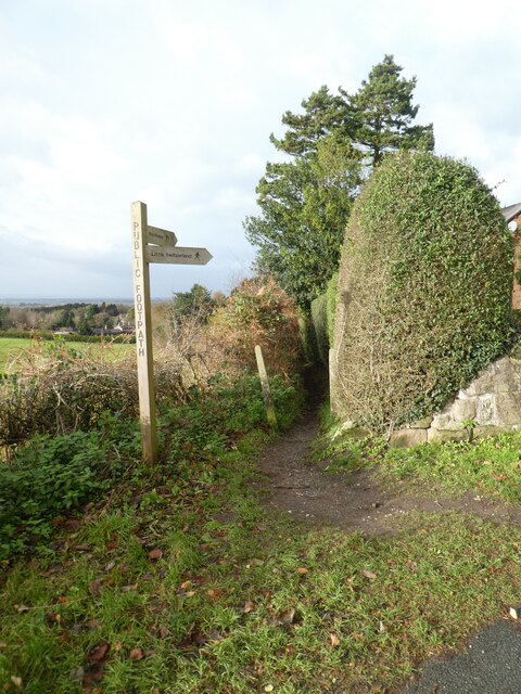
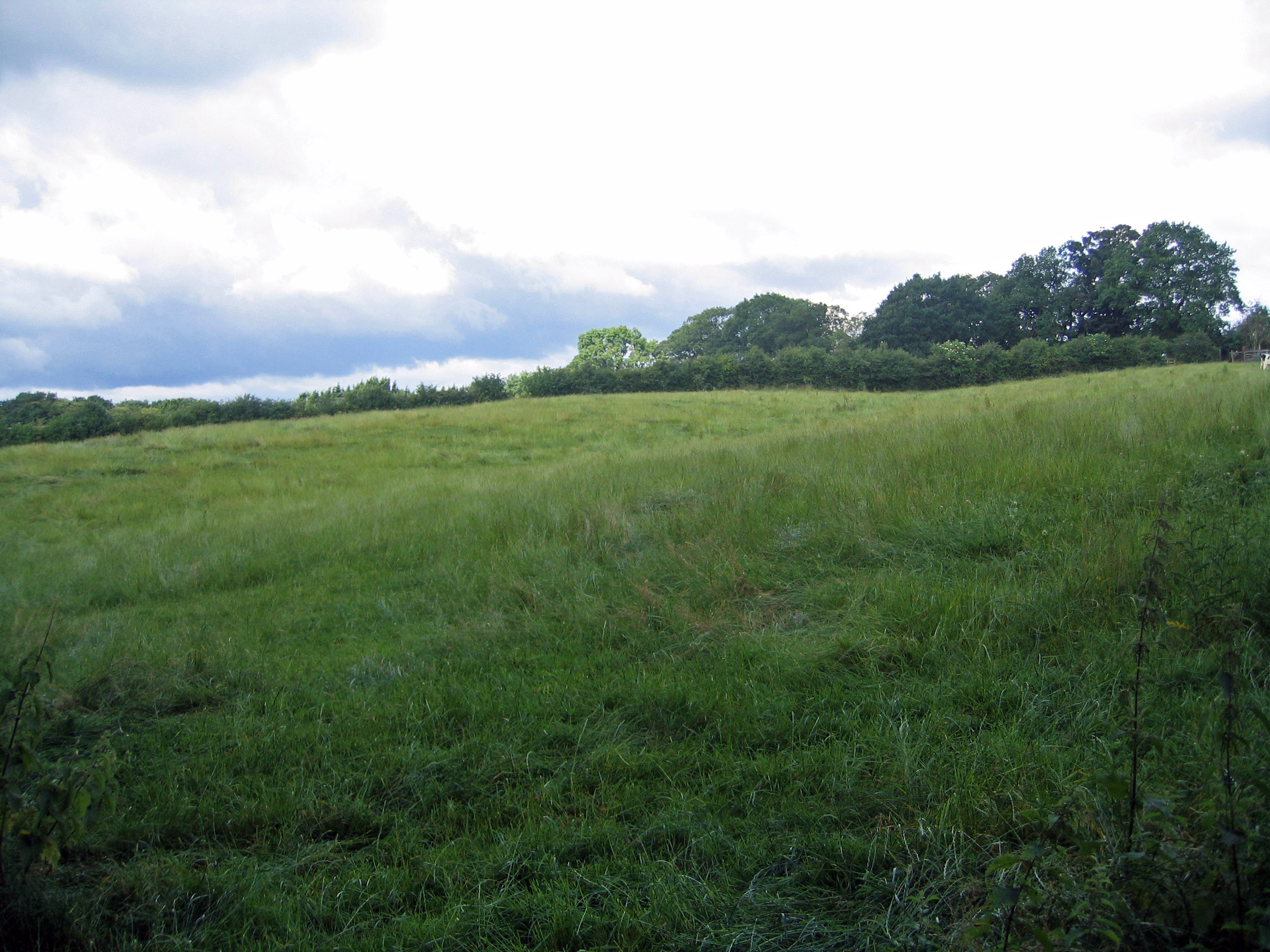
The Rookery is a picturesque woodland area located in Cheshire, England. Nestled within a larger forest, it is renowned for its enchanting beauty and rich biodiversity. Covering approximately 50 acres, The Rookery is a haven for nature lovers and outdoor enthusiasts alike.
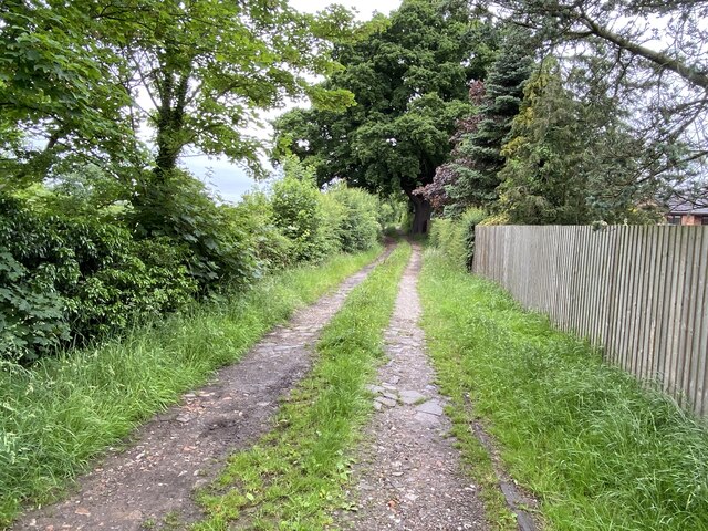
The woodland is characterized by its dense canopy of mature trees, predominantly oak and beech, which create a soothing and tranquil environment. The forest floor is adorned with a carpet of vibrant wildflowers and mosses, adding to the area's natural charm. A network of well-maintained footpaths and trails wind through the woodland, allowing visitors to explore its hidden treasures.
The Rookery is home to a diverse range of wildlife, making it a popular spot for birdwatching and animal spotting. Bird species such as woodpeckers, owls, and various songbirds can be heard and seen throughout the year. The forest also provides a habitat for mammals like badgers, foxes, and deer, which can occasionally be glimpsed by lucky observers.
Nature enthusiasts visiting The Rookery can take advantage of its peaceful atmosphere to engage in activities such as walking, jogging, or simply enjoying a leisurely picnic amidst the natural surroundings. The forest's beauty is particularly captivating during the autumn season when the foliage transforms into a stunning array of golden hues.
Managed by the local conservation authorities, The Rookery is a cherished natural gem in Cheshire. Its preservation and protection ensure that future generations can continue to appreciate and enjoy the serenity and splendor of this woodland haven.
If you have any feedback on the listing, please let us know in the comments section below.
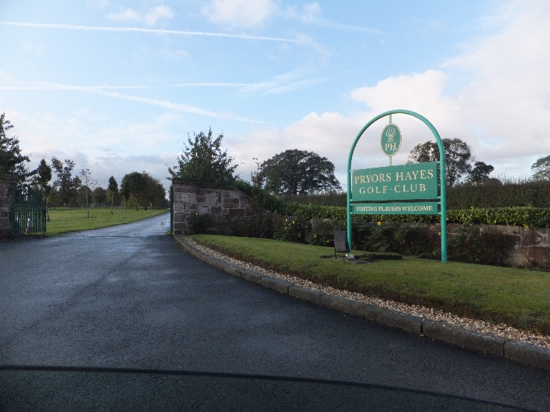
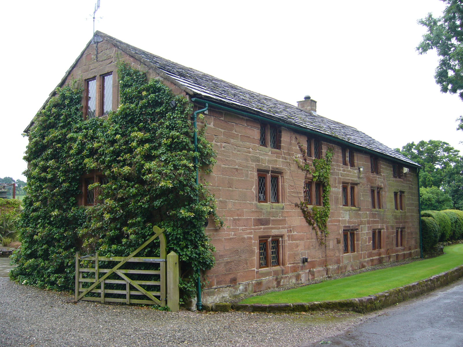
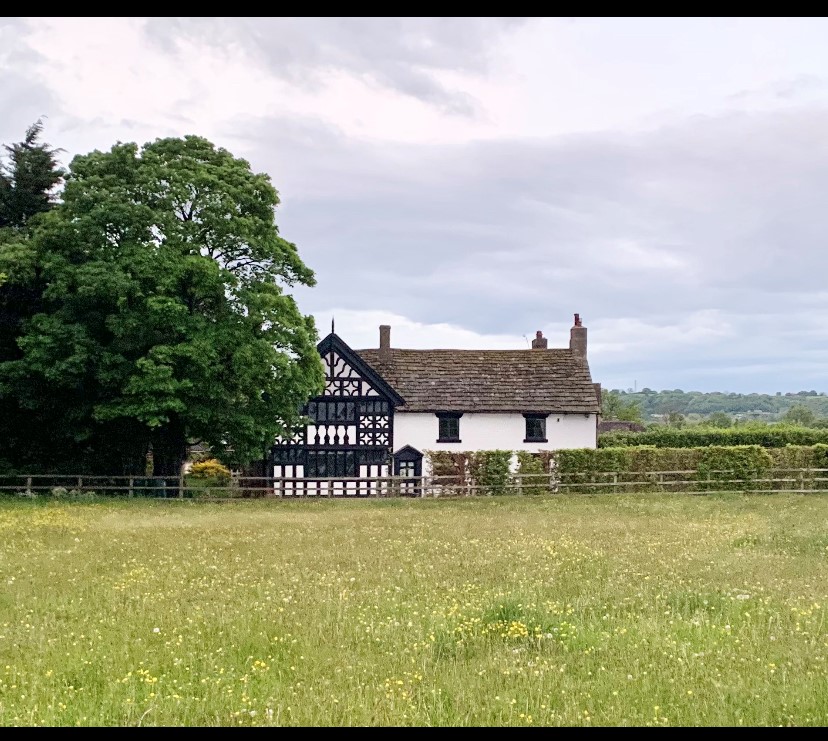
The Rookery Images
Images are sourced within 2km of 53.188698/-2.7045657 or Grid Reference SJ5365. Thanks to Geograph Open Source API. All images are credited.


The Rookery is located at Grid Ref: SJ5365 (Lat: 53.188698, Lng: -2.7045657)
Unitary Authority: Cheshire West and Chester
Police Authority: Cheshire
What 3 Words
///revives.adventure.legend. Near Kelsall, Cheshire
Nearby Locations
Related Wikis
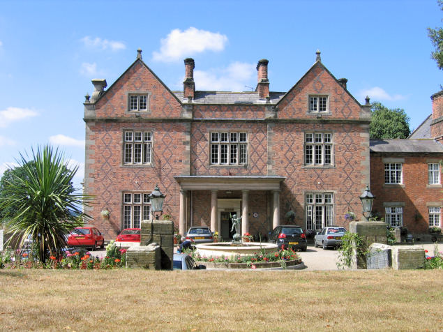
Willington Hall
Willington Hall is a former country house in the parish of Willington, Cheshire, England. It was extended in 1878, but reduced in size in the 1950s, and...
Boothsdale
Boothsdale is a village in Cheshire, England. It is part of the civil parish of Willington.
Prior's Heys
Prior's Heys is a former civil parish, now in the parish of Tarvin, in the Borough of Cheshire West and Chester and ceremonial county of Cheshire in England...

Tirley Garth
Tirley Garth is a large country house some 2.5 miles (4 km) to the north of Tarporley, Cheshire, England. The house together with its entrance courtyard...
Utkinton
Utkinton is a village and former civil parish, now in the parishes of Utkinton and Cotebrook, in the unitary authority area of Cheshire West and Chester...
Willington, Cheshire
Willington is a village and civil parish 9 miles (14 km) from Chester in Cheshire, England. At the 2011 census, the population was 277.The village contains...
Kelsborrow Castle
Kelsborrow Castle is an Iron Age hill fort in Cheshire, northern England. Hill forts were fortified hill-top settlements constructed across Britain during...
Duddon Old Hall
Duddon Old Hall is a country house in the village of Duddon, Cheshire, England. It dates from the later part of the 16th century, the house was in the...
Nearby Amenities
Located within 500m of 53.188698,-2.7045657Have you been to The Rookery?
Leave your review of The Rookery below (or comments, questions and feedback).