Hall Wood
Wood, Forest in Cheshire
England
Hall Wood

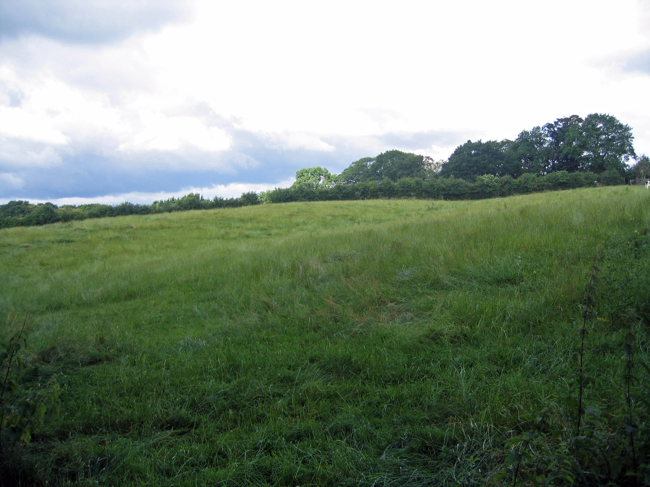
Hall Wood is a picturesque woodland located in Cheshire, England. Spread across an area of approximately 100 acres, this enchanting forest is known for its diverse wildlife, tranquil atmosphere, and scenic beauty. It is situated near the village of Hall, hence the name Hall Wood.
The woodland is predominantly composed of mixed deciduous trees, including oak, beech, birch, and sycamore, which provide a rich and vibrant canopy throughout the year. The forest floor is covered in a lush carpet of ferns, bluebells, and wildflowers, adding to its natural charm.
Hall Wood is a haven for wildlife enthusiasts as it is home to a wide array of animal species. Visitors may spot rabbits, squirrels, foxes, and numerous bird species, including woodpeckers, owls, and thrushes. The forest also serves as a habitat for several rare and protected species, such as bats and badgers.
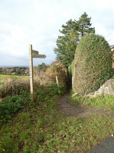
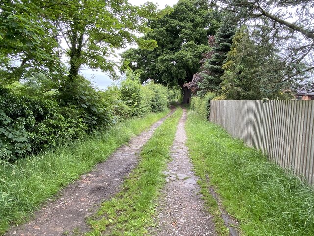
The woodland offers a variety of walking and hiking trails, allowing visitors to explore its beauty at their own pace. These paths wind through the trees, revealing hidden glades and secluded ponds, creating a serene and peaceful environment. The captivating views and fresh air make Hall Wood a popular destination for nature lovers and photographers alike.
Hall Wood is well-maintained by local authorities, ensuring its conservation and preservation for future generations. It is a cherished natural gem in Cheshire, offering a tranquil retreat where visitors can immerse themselves in the beauty of nature and escape the hustle and bustle of everyday life.
If you have any feedback on the listing, please let us know in the comments section below.
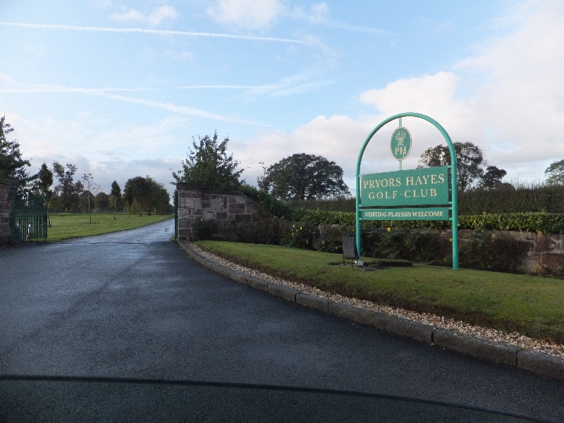
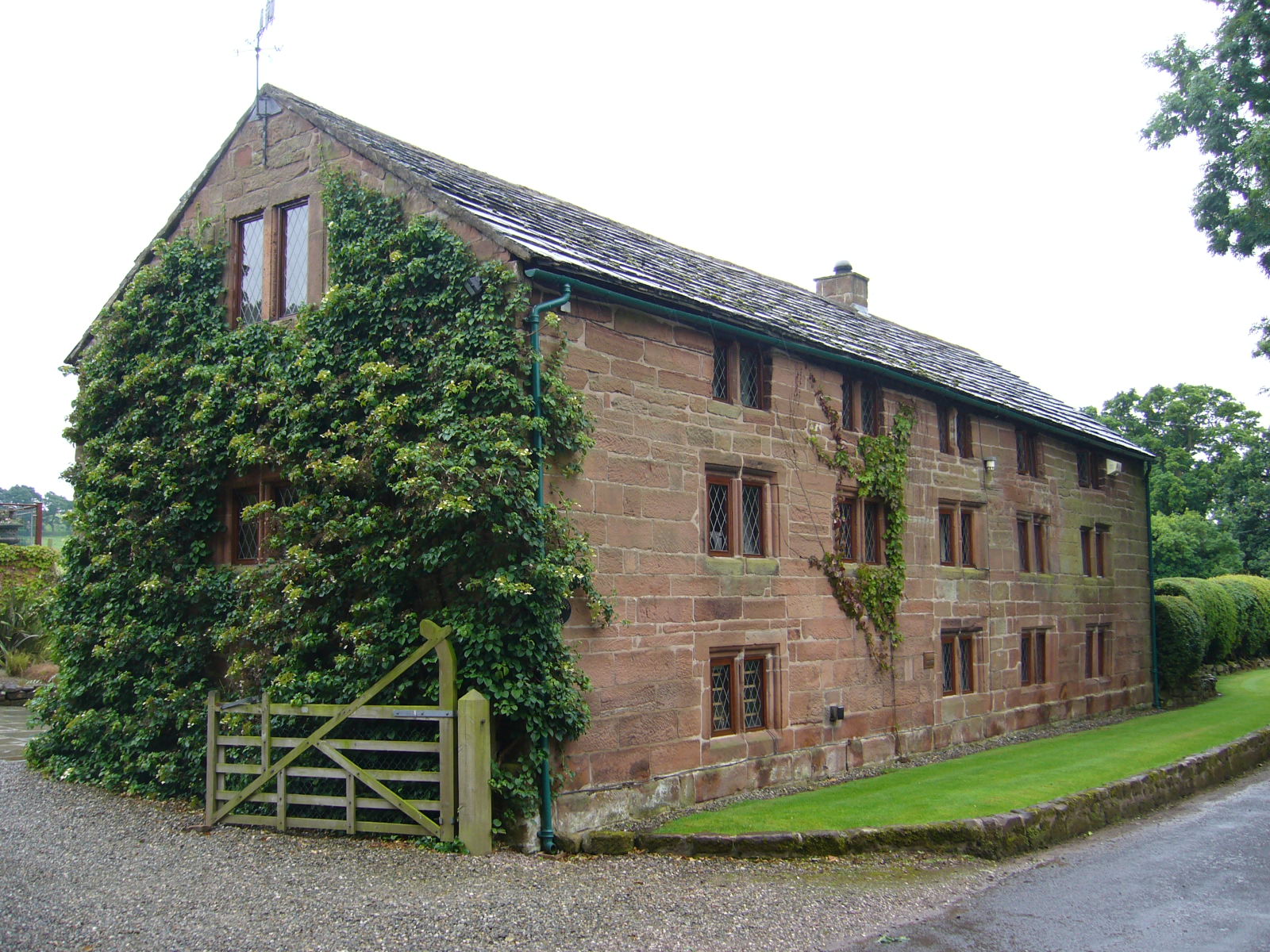
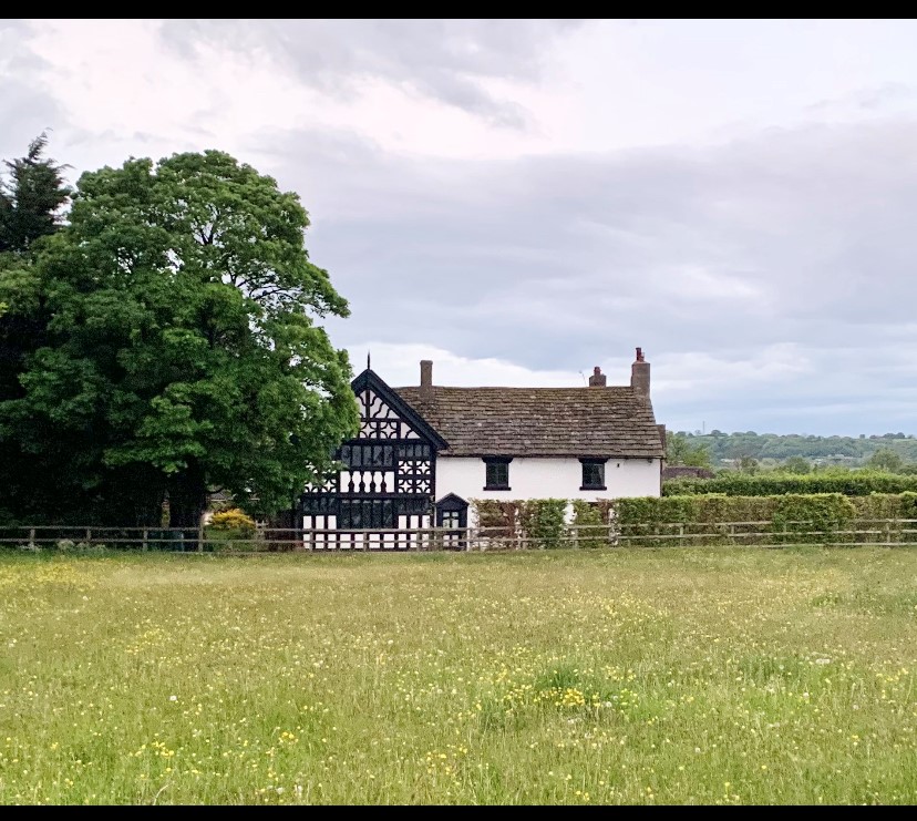
Hall Wood Images
Images are sourced within 2km of 53.187574/-2.6983814 or Grid Reference SJ5365. Thanks to Geograph Open Source API. All images are credited.


Hall Wood is located at Grid Ref: SJ5365 (Lat: 53.187574, Lng: -2.6983814)
Unitary Authority: Cheshire West and Chester
Police Authority: Cheshire
What 3 Words
///crank.lights.ribs. Near Kelsall, Cheshire
Nearby Locations
Related Wikis
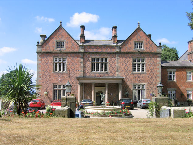
Willington Hall
Willington Hall is a former country house in the parish of Willington, Cheshire, England. It was extended in 1878, but reduced in size in the 1950s, and...
Boothsdale
Boothsdale is a village in Cheshire, England. It is part of the civil parish of Willington.
Prior's Heys
Prior's Heys is a former civil parish, now in the parish of Tarvin, in the Borough of Cheshire West and Chester and ceremonial county of Cheshire in England...
Utkinton
Utkinton is a village and former civil parish, now in the parishes of Utkinton and Cotebrook, in the unitary authority area of Cheshire West and Chester...

Tirley Garth
Tirley Garth is a large country house some 2.5 miles (4 km) to the north of Tarporley, Cheshire, England. The house together with its entrance courtyard...
Willington, Cheshire
Willington is a village and civil parish 9 miles (14 km) from Chester in Cheshire, England. At the 2011 census, the population was 277.The village contains...
Kelsborrow Castle
Kelsborrow Castle is an Iron Age hill fort in Cheshire, northern England. Hill forts were fortified hill-top settlements constructed across Britain during...
Duddon Old Hall
Duddon Old Hall is a country house in the village of Duddon, Cheshire, England. It dates from the later part of the 16th century, the house was in the...
Nearby Amenities
Located within 500m of 53.187574,-2.6983814Have you been to Hall Wood?
Leave your review of Hall Wood below (or comments, questions and feedback).