Riggside Plantation
Wood, Forest in Cumberland Carlisle
England
Riggside Plantation
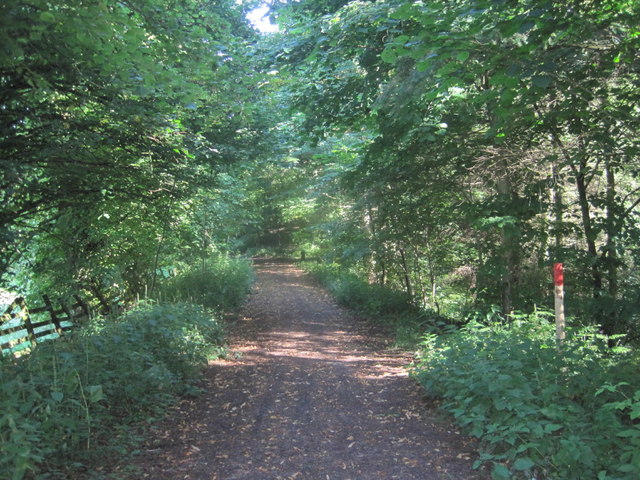
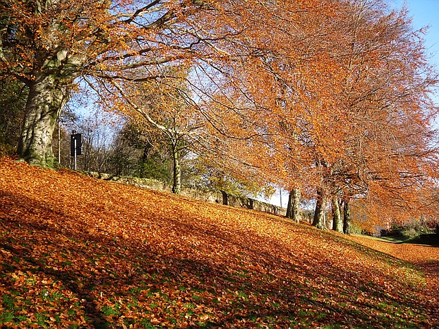
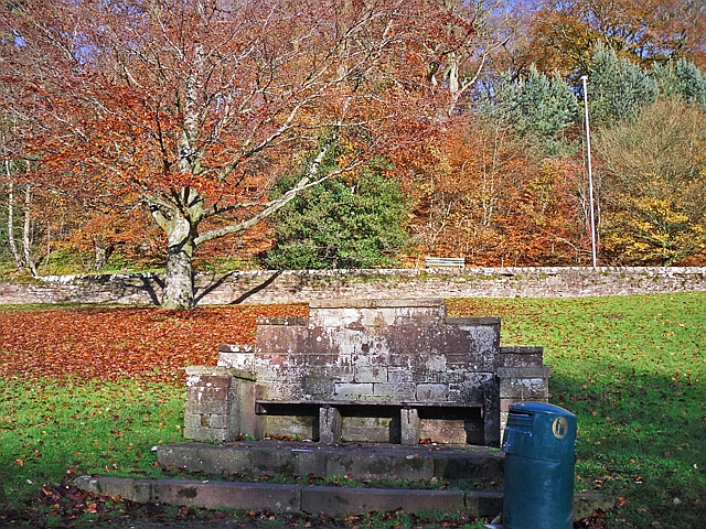
Riggside Plantation, located in Cumberland, England, is a picturesque woodland area known for its serene beauty and diverse ecosystem. Stretching across approximately 500 acres, this privately owned plantation offers a haven for nature enthusiasts and those seeking tranquility amidst the bustling city life.
The plantation primarily consists of an enchanting mix of native tree species, including oak, beech, and birch, creating a lush and vibrant forest canopy. These trees, some of them centuries old, provide a habitat for a wide range of wildlife, from deer and foxes to numerous bird species. The woodland floor is adorned with a rich carpet of wildflowers and ferns, adding to the plantation's natural charm.
Visitors to Riggside Plantation can explore its many well-maintained walking trails, allowing them to immerse themselves in the beauty of nature. The trails wind through the forest, offering breathtaking views and glimpses of wildlife along the way. Nature enthusiasts can also enjoy birdwatching, as the plantation is home to various bird species, including woodpeckers, owls, and thrushes.
In addition to its natural beauty, Riggside Plantation has historical significance. The site was once part of an ancient forest that covered much of the region, and remnants of this ancient woodland can still be found within the plantation. This adds an element of mystery and intrigue to the overall experience.
Overall, Riggside Plantation is a haven for nature lovers, offering a peaceful retreat where visitors can immerse themselves in the beauty of the natural world. Whether exploring the woodland trails, observing wildlife, or simply enjoying the serenity of the surroundings, this plantation provides a truly enriching experience for all who visit.
If you have any feedback on the listing, please let us know in the comments section below.
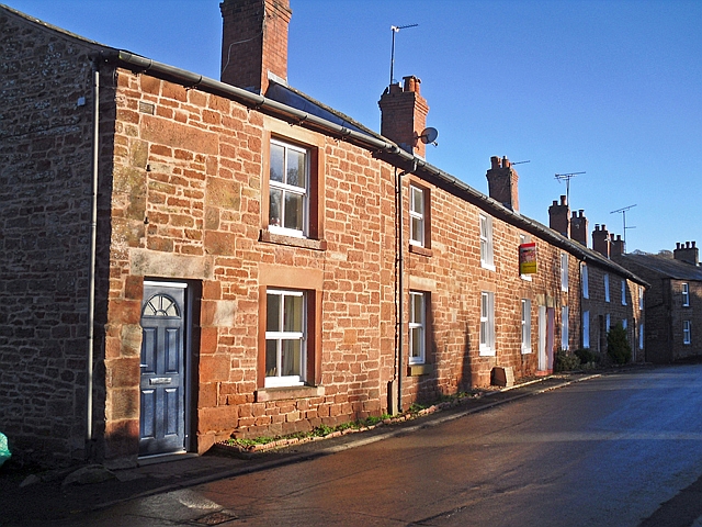
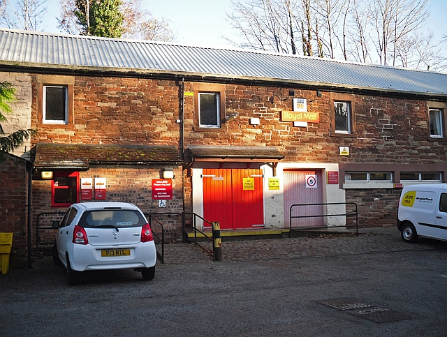
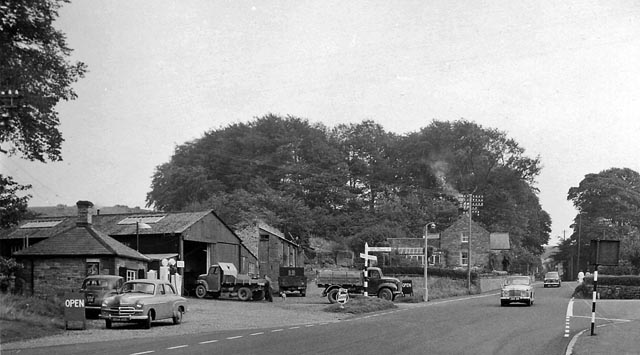
Riggside Plantation Images
Images are sourced within 2km of 54.95108/-2.7199488 or Grid Reference NY5362. Thanks to Geograph Open Source API. All images are credited.
Riggside Plantation is located at Grid Ref: NY5362 (Lat: 54.95108, Lng: -2.7199488)
Administrative County: Cumbria
District: Carlisle
Police Authority: Cumbria
What 3 Words
///spreading.truffles.sung. Near Brampton, Cumbria
Nearby Locations
Related Wikis

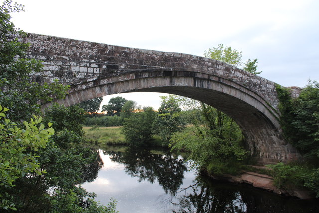
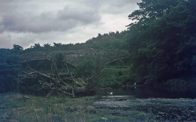
King Water
King Water is a river in the north of Cumbria, England. The Brampton Angling Association has a long term let from the Earl of Carlisle for fishing rights...
Brampton Town railway station
Brampton Town railway station was the terminus of the Brampton Town Branch, in the centre of Brampton, Cumbria, England. It was opened in 1775, to work...

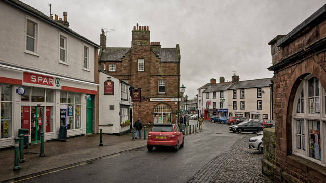
Moot Hall, Brampton
The Moot Hall is a municipal building in The Market Place in Brampton, Cumbria, England. The building, which is used as a local tourist information office...

Brampton, Carlisle
Brampton is a market town and civil parish in the Cumberland unitary authority of Cumbria, England. It is 9 miles (14 km) east of Carlisle and 2 miles...

St Martin's Church, Brampton
St Martin's Church is in Front Street, Brampton, Cumbria, England. It is an active Anglican parish church in the deanery of Brampton, the archdeaconry...

William Howard School
The William Howard School is a co-educational secondary academy school on Longtown Road (A6071) in Brampton, Carlisle, Cumbria, England for pupils aged...

Naworth Castle
Naworth Castle, also known or recorded in historical documents as "Naward", is a castle in Cumbria, England, near the town of Brampton. It is adjacent...

Lanercost
Lanercost is a village in the northern part of Cumbria, England. The settlement is in the civil parish of Burtholme, in the City of Carlisle local government...
Nearby Amenities
Located within 500m of 54.95108,-2.7199488Have you been to Riggside Plantation?
Leave your review of Riggside Plantation below (or comments, questions and feedback).