Ganarew

Civil Parish in Herefordshire

England

Ganarew

Lychgate, Ganarew, Herefordshire At the main entrance to St Swithin's churchyard in the Church of England Diocese of Hereford. Derived from an old English word for a corpse, a lychgate is the roofed gateway to a churchyard, formerly used to shelter a coffin until the clergyman's arrival for the burial or pre-burial service.
Lychgate, Ganarew, Herefordshire Credit: Jaggery

Ganarew is a civil parish located in Herefordshire, England. It is situated in the Wye Valley, a designated Area of Outstanding Natural Beauty. The parish covers an area of approximately 3 square miles and is home to a small population.

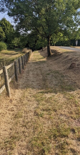
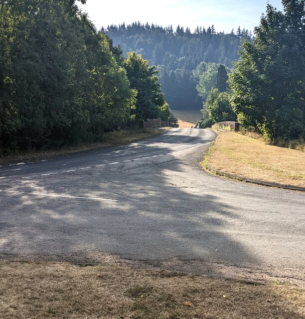
Ganarew is characterized by its picturesque countryside and stunning natural landscapes. The Wye River flows through the parish, providing scenic views and opportunities for outdoor activities such as fishing, boating, and hiking. The area is known for its lush green fields, rolling hills, and dense woodlands, making it a popular destination for nature enthusiasts and tourists.

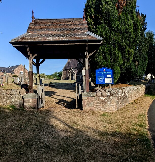
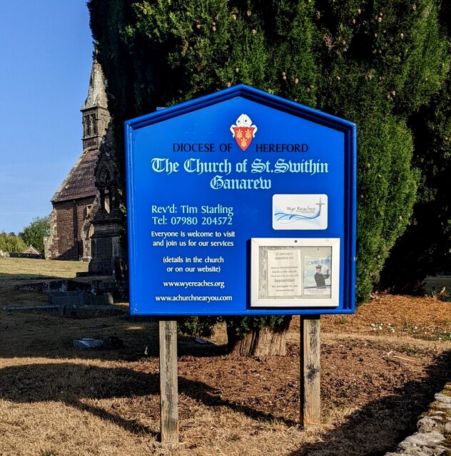
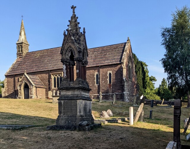
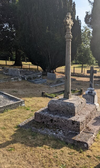
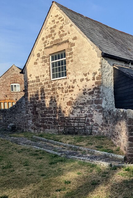
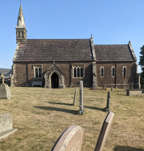
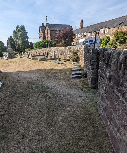
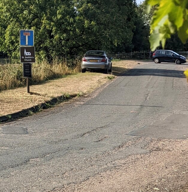
The village of Ganarew itself is a charming and tranquil place. It features a mix of traditional stone cottages and more modern houses. The community is close-knit and friendly, with a strong sense of community spirit. The parish has a local church, St. Swithin's, which is a focal point for religious and social gatherings.

Despite its rural setting, Ganarew is well-connected to nearby towns and cities. The market town of Monmouth is just a short drive away, offering a range of amenities including shops, restaurants, and schools. Hereford, the county town of Herefordshire, is also within easy reach.

Overall, Ganarew is a beautiful and idyllic rural parish, offering a peaceful and scenic environment for its residents and visitors. Its natural beauty and close proximity to other towns make it an attractive place to live or explore.

If you have any feedback on the listing, please let us know in the comments section below.
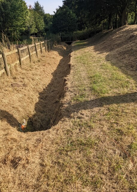
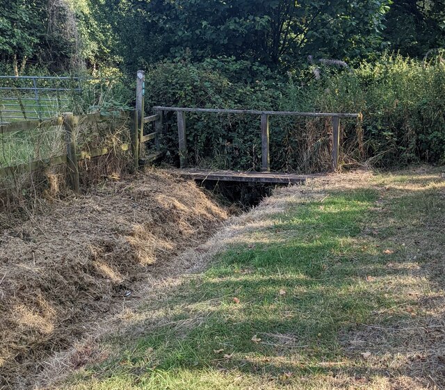
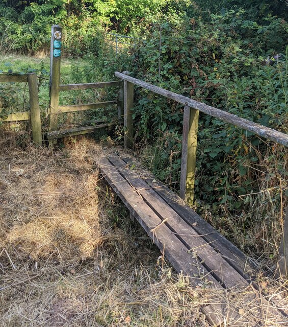
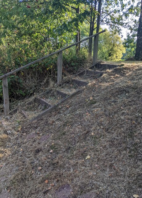
Ganarew Images

Images are sourced within 2km of 51.842616/-2.680301 or Grid Reference SO5316. Thanks to Geograph Open Source API. All images are credited.

Lychgate, Ganarew, Herefordshire At the main entrance to St Swithin's churchyard in the Church of England Diocese of Hereford. Derived from an old English word for a corpse, a lychgate is the roofed gateway to a churchyard, formerly used to shelter a coffin until the clergyman's arrival for the burial or pre-burial service.
Lychgate, Ganarew, Herefordshire
At the main entrance to St Swithin's churchyard in the Church of England Diocese of Hereford. Derived from an old English word for a corpse, a lychgate is the roofed gateway to a churchyard, formerly used to shelter a coffin until the clergyman's arrival for the burial or pre-burial service.
Church nameboard, Ganarew, Herefordshire Located here <a title="https://www.geograph.org.uk/photo/7255167" href="https://www.geograph.org.uk/photo/7255167">Link</a> alongside the main entrance to St Swithin's churchyard in the Church of England Diocese of Hereford.
Church nameboard, Ganarew, Herefordshire
Located here Link alongside the main entrance to St Swithin's churchyard in the Church of England Diocese of Hereford.
Grade II Listed Bannerman Memorial, Ganarew, Herefordshire The memorial in St Swithin's churchyard dates from c1870. It commemorates John Bannerman and members of the Bannerman family formerly of Wyastone Leys. Grade II Listed in 1985.
Grade II Listed Bannerman Memorial, Ganarew, Herefordshire
The memorial in St Swithin's churchyard dates from c1870. It commemorates John Bannerman and members of the Bannerman family formerly of Wyastone Leys. Grade II Listed in 1985.
Medieval churchyard cross, Ganarew, Herefordshire The cross in St Swithin's churchyard is a medieval cross with later additions. The cross is a Scheduled Monument. Its list entry number is 1016117
Medieval churchyard cross, Ganarew, Herefordshire
The cross in St Swithin's churchyard is a medieval cross with later additions. The cross is a Scheduled Monument. Its list entry number is 1016117
Rusty churchyard bench,  Ganarew, Herefordshire, Alongside a stone wall at the NW edge of St Swithin's churchyard in the Church of England Diocese of Hereford.
Rusty churchyard bench, Ganarew, Herefordshire,
Alongside a stone wall at the NW edge of St Swithin's churchyard in the Church of England Diocese of Hereford.
Church spire, Ganarew, Herefordshire On the west side of St Swithin's Church in the Church of England Diocese of Hereford. The decorative tiled roof has bands of fishscale tiles.
Church spire, Ganarew, Herefordshire
On the west side of St Swithin's Church in the Church of England Diocese of Hereford. The decorative tiled roof has bands of fishscale tiles.
Buildings beyond the churchyard, Ganarew, Herefordshire Viewed from St Swithin's churchyard in the Church of England Diocese of Hereford.
Buildings beyond the churchyard, Ganarew, Herefordshire
Viewed from St Swithin's churchyard in the Church of England Diocese of Hereford.
South side of St Swithin's Church, Ganarew Church in the Church of England Diocese of Hereford.
South side of St Swithin's Church, Ganarew
Church in the Church of England Diocese of Hereford.
Churchyard perimeter wall, Ganarew, Herefordshire Stone wall at the edge of St Swithin's churchyard.
Churchyard perimeter wall, Ganarew, Herefordshire
Stone wall at the edge of St Swithin's churchyard.
House opposite the churchyard, Ganarew, Herefordshire Viewed from St Swithin's churchyard in the Church of England Diocese of Hereford.
House opposite the churchyard, Ganarew, Herefordshire
Viewed from St Swithin's churchyard in the Church of England Diocese of Hereford.
Grassy track, Ganarew, Herefordshire Little greenery remains on August 14th 2022 during a long period of much below average rainfall.
Grassy track, Ganarew, Herefordshire
Little greenery remains on August 14th 2022 during a long period of much below average rainfall.
Dry drainage channel, Ganarew, Herefordshire Viewed on August 14th 2022 during a long period of much below average rainfall.
Dry drainage channel, Ganarew, Herefordshire
Viewed on August 14th 2022 during a long period of much below average rainfall.
Bridge over a drainage channel, Ganarew, Herefordshire The drainage channel is dry on August 14th 2022 during a long period of much below average rainfall.
Bridge over a drainage channel, Ganarew, Herefordshire
The drainage channel is dry on August 14th 2022 during a long period of much below average rainfall.
Plank bridge over a brook, Ganarew, Herefordshire  Located here. <a title="https://www.geograph.org.uk/photo/7255563" href="https://www.geograph.org.uk/photo/7255563">Link</a>
Plank bridge over a brook, Ganarew, Herefordshire
Located here. Link
Steps up from a track, Ganarew, Herefordshire Ascending from the far end of this <a title="https://www.geograph.org.uk/photo/7255553" href="https://www.geograph.org.uk/photo/7255553">Link</a> drainage channel 
to the dead-end road to St Swithin's Church.
Steps up from a track, Ganarew, Herefordshire
Ascending from the far end of this Link drainage channel to the dead-end road to St Swithin's Church.
Junction in Ganarew, Herefordshire From the right, the St Swithin's Church access road joins a minor road which crosses a bridge over the A40 in the background.
Junction in Ganarew, Herefordshire
From the right, the St Swithin's Church access road joins a minor road which crosses a bridge over the A40 in the background.
Church access road, Ganarew, Herefordshire Ahead for St Swithin's Church in the Church of England Diocese of Hereford.
Church access road, Ganarew, Herefordshire
Ahead for St Swithin's Church in the Church of England Diocese of Hereford.
South side of St Swithin's Church, Ganarew Church on a sloping site in the Church of England Diocese of Hereford.
South side of St Swithin's Church, Ganarew
Church on a sloping site in the Church of England Diocese of Hereford.
Show me another place!

Ganarew is located at Grid Ref: SO5316 (Lat: 51.842616, Lng: -2.680301)

Unitary Authority: County of Herefordshire

Police Authority: West Mercia

What 3 Words

///unusable.ally.recently. Near Whitchurch, Herefordshire

Related Wikis

Ganarew

Ganarew (from Welsh: Genau'r Rhiw; 'Gana-rhiw', and 'Gan y rew') is a village and small civil parish in south Herefordshire, England near the River Wye...

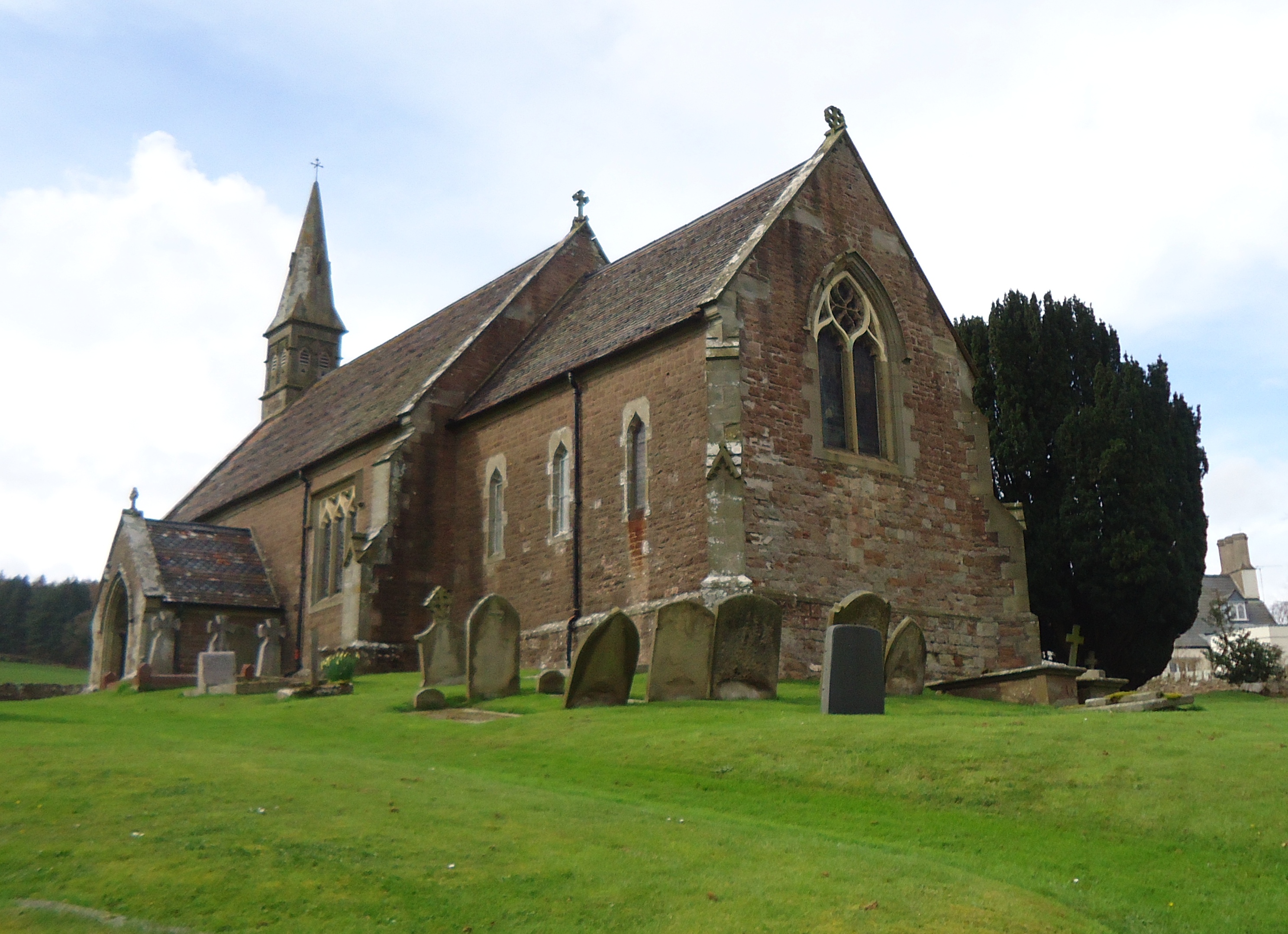
Church of St Swithin, Ganarew

The Church of St Swithin is a parish church in Ganarew, south Herefordshire, England. The parish church is dedicated to St Swithin, although the 1868 National...
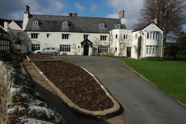
Wyastone Leys

Wyastone Leys is a country house estate and Grade II listed building situated near Ganarew, in the southwestern corner of The Doward, in Herefordshire...

The Doward

The Doward (Welsh: Deuarth Fach, lit. "two small hills"), is an area in the parish of Whitchurch in south Herefordshire, England, consisting of the hills...

Nearby Amenities

Located within 500m of 51.842616,-2.680301
Ganarew
Created By: POI Editor
Place: village
Source: npe
Wikidata: Q3784628
Lat/Long: 51.8430366/-2.684403
Motorway Junction
Lat/Long: 51.8423401/-2.6824983
Motorway Junction
Lat/Long: 51.8446553/-2.6801131
The data included in this document is from www.openstreetmap.org. The data is made available under ODbL.

Have you been to Ganarew?

Leave your review of Ganarew below (or comments, questions and feedback).