Little Doward
Hill, Mountain in Herefordshire
England
Little Doward
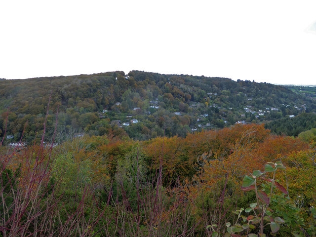
Little Doward is a prominent hill located in Herefordshire, England. Standing at an elevation of 216 meters (709 feet), it is part of the picturesque Wye Valley Area of Outstanding Natural Beauty. With its distinctive shape and scenic surroundings, Little Doward offers breathtaking views and attracts outdoor enthusiasts and nature lovers alike.
The hill is composed of limestone and boasts a rich geological history, evident in its ancient caves and rock formations. One notable feature is the Doward caves, a system of underground passages that have attracted explorers and spelunkers for centuries. These caves are home to a diverse range of wildlife, including rare species of bats, making them an important ecological site.
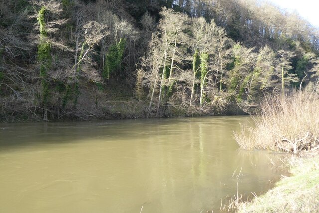
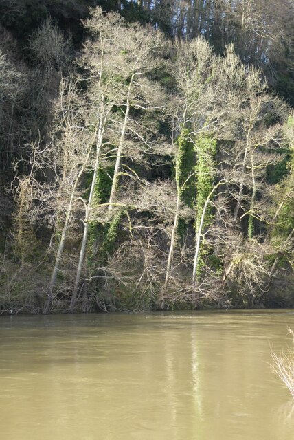
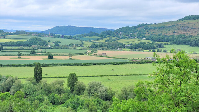
Little Doward's summit provides an expansive panorama of the Wye Valley, offering visitors a stunning vista of the rolling countryside, the meandering River Wye, and the lush woodlands that cover the area. Many walking and hiking trails lead to the top, providing opportunities for outdoor activities and adventure.
The hill is steeped in history, with evidence of human activity dating back thousands of years. Archaeological excavations have revealed Iron Age hillforts and Roman remains, showcasing the hill's significance as a strategic and defensive location. Today, remnants of these ancient settlements can still be seen, adding to the cultural heritage of the area.
Little Doward is a beloved destination for outdoor enthusiasts, history buffs, and those seeking tranquility amidst the beauty of the English countryside. Its breathtaking views, geological wonders, and historical significance make it a must-visit location in Herefordshire.
If you have any feedback on the listing, please let us know in the comments section below.
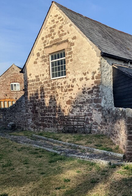
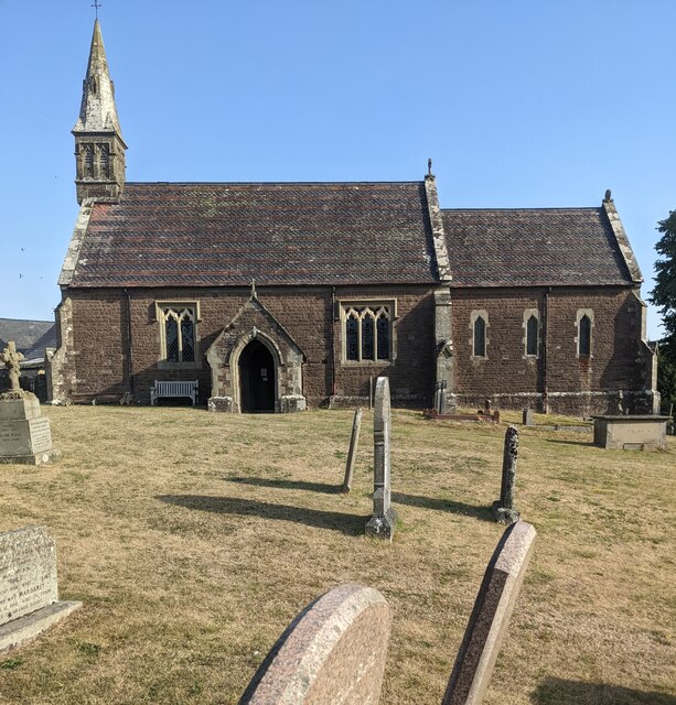
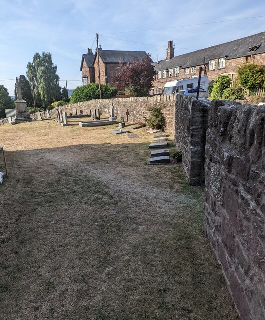
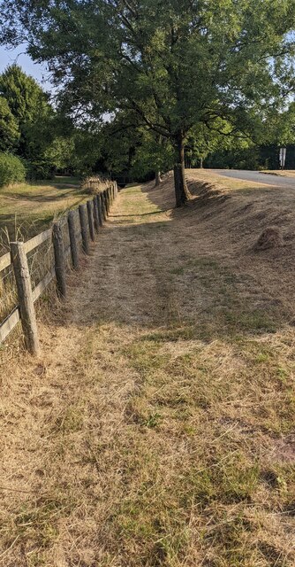
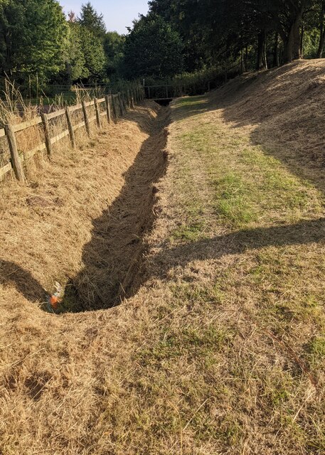
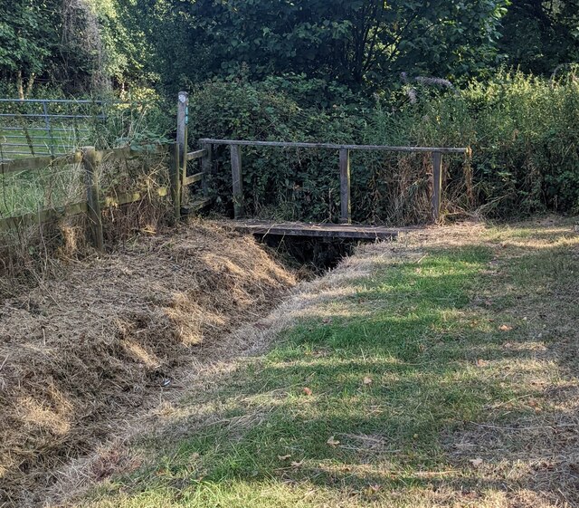
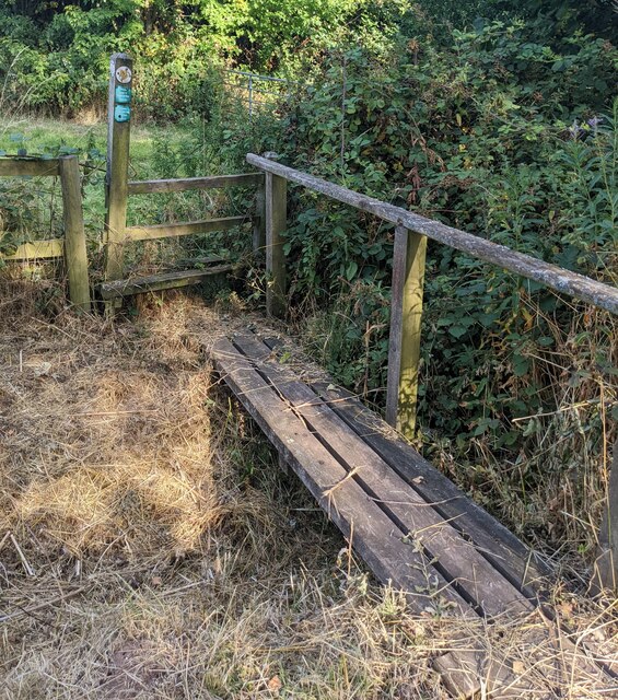
Little Doward Images
Images are sourced within 2km of 51.841718/-2.6715785 or Grid Reference SO5316. Thanks to Geograph Open Source API. All images are credited.


Little Doward is located at Grid Ref: SO5316 (Lat: 51.841718, Lng: -2.6715785)
Unitary Authority: County of Herefordshire
Police Authority: West Mercia
What 3 Words
///grove.ticking.screening. Near Whitchurch, Herefordshire
Nearby Locations
Related Wikis

The Doward
The Doward (Welsh: Deuarth Fach, lit. "two small hills"), is an area in the parish of Whitchurch in south Herefordshire, England, consisting of the hills...
Ganarew
Ganarew (from Welsh: Genau'r Rhiw; 'Gana-rhiw', and 'Gan y rew') is a village and small civil parish in south Herefordshire, England near the River Wye...

Wyastone Leys
Wyastone Leys is a country house estate and Grade II listed building situated near Ganarew, in the southwestern corner of The Doward, in Herefordshire...
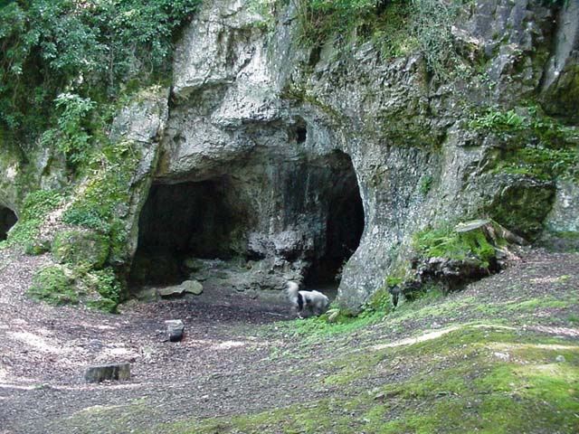
King Arthur's Cave
King Arthur's Cave is a limestone cave at the foot of a low cliff at the north-western end of Lord's Wood in The Doward, near Symonds Yat, Herefordshire...
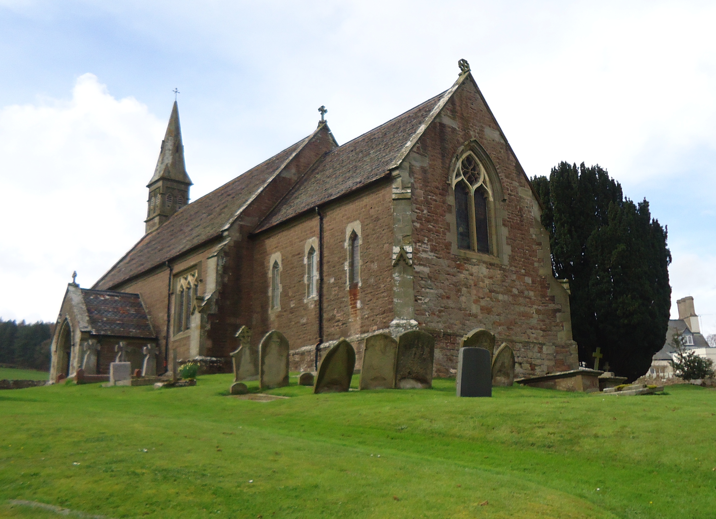
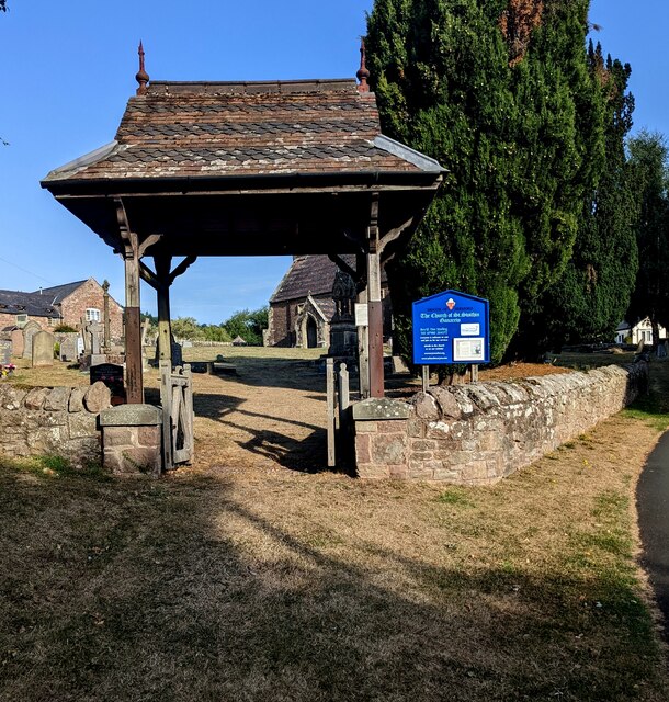
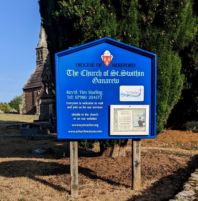
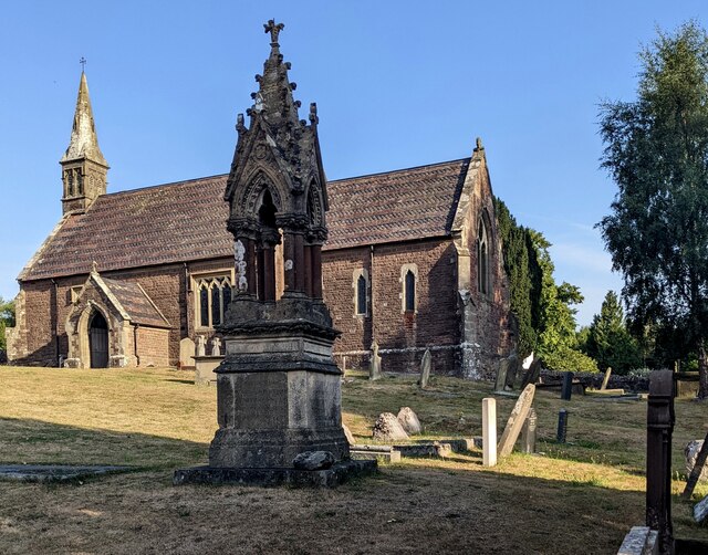
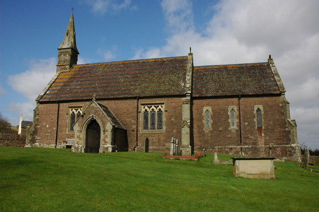
Church of St Swithin, Ganarew
The Church of St Swithin is a parish church in Ganarew, south Herefordshire, England. The parish church is dedicated to St Swithin, although the 1868 National...
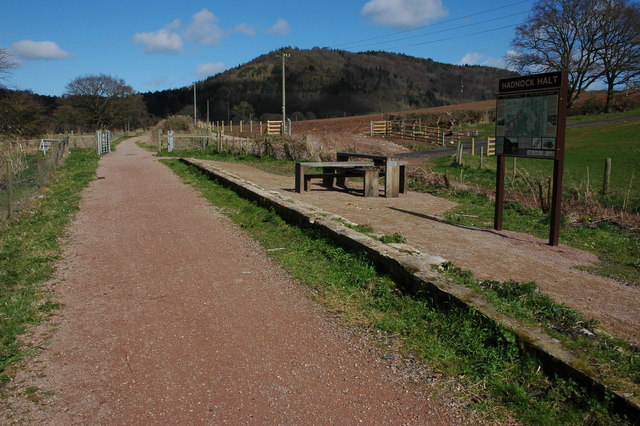
Hadnock Halt railway station
Hadnock Halt railway station is a disused railway station on the Ross and Monmouth Railway which was only open for eight years, 1951 to 1959, closing when...
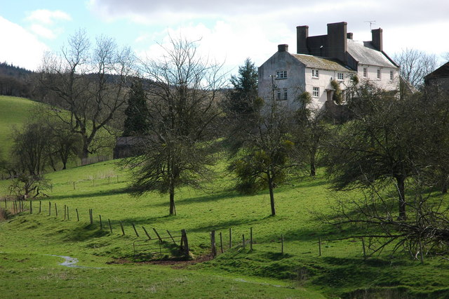
Hadnock
Hadnock is an area of farmland and woodland in Monmouthshire, Wales, 1.5 miles (2.4 km) north-east of Monmouth, on the east bank of the River Wye adjoining...

Whitchurch Rural District, Herefordshire
Whitchurch was a rural district in Herefordshire, England from 1894 to 1931. It was formed under the Local Government Act 1894 from that part of the Monmouth...
Nearby Amenities
Located within 500m of 51.841718,-2.6715785Have you been to Little Doward?
Leave your review of Little Doward below (or comments, questions and feedback).