Alder Bed Wood

Wood, Forest in Somerset

England

Alder Bed Wood

Fish Pond This lake in Fish Pond Wood once provided fish for the divines of Bristol Cathedral.
Fish Pond Credit: Graeme Churchard

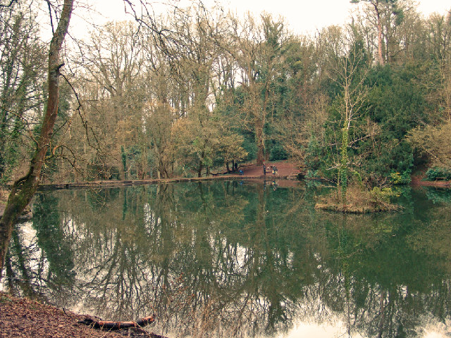
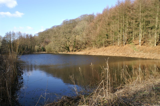
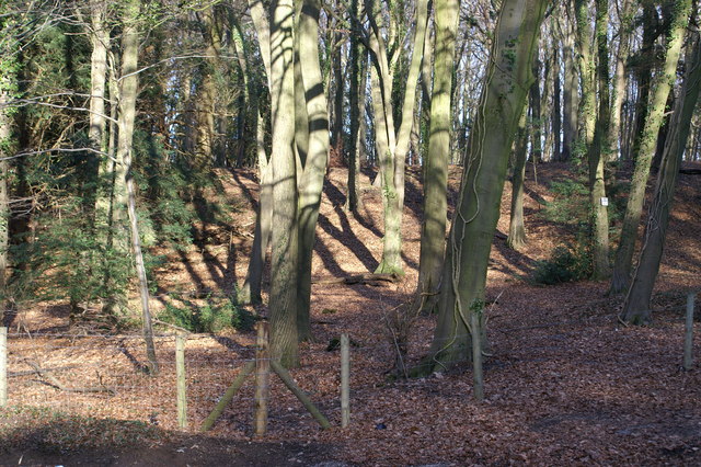
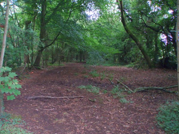
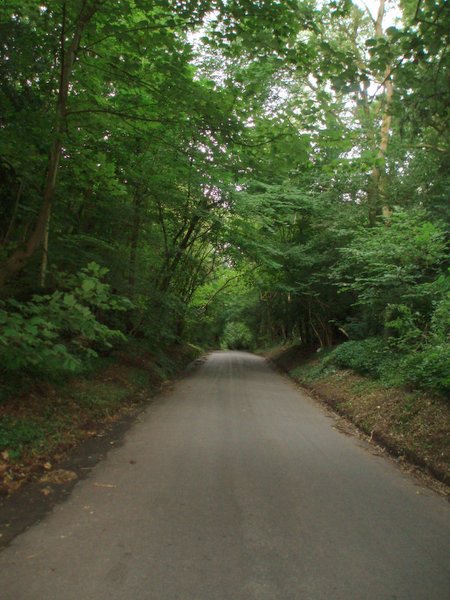
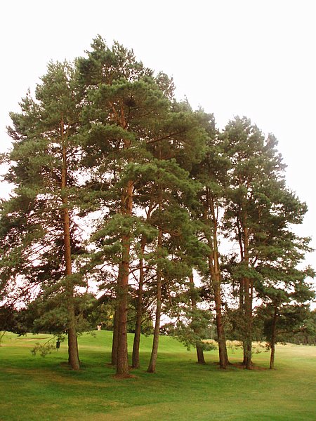
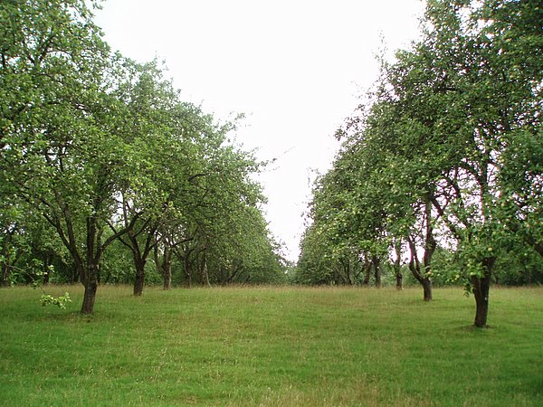
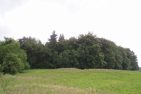
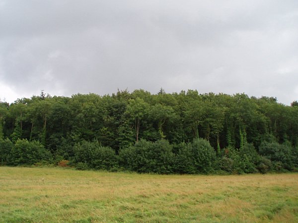
Alder Bed Wood is a picturesque forest located in Somerset, England. Spanning over a vast area, this woodland is renowned for its stunning natural beauty and diverse range of flora and fauna. The forest is predominantly composed of alder trees, hence its name, which add to the enchanting atmosphere with their lush green foliage.

The wood is a popular destination for nature enthusiasts and outdoor lovers, offering a tranquil escape from the hustle and bustle of daily life. Its well-maintained trails wind through the forest, allowing visitors to explore its hidden gems at their own pace. The forest floor is adorned with a carpet of wildflowers during spring, creating a vibrant and colorful display. Visitors can indulge in birdwatching, as the woodland is home to a variety of avian species, including woodpeckers, owls, and warblers.

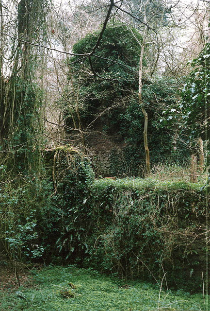
Alder Bed Wood is not just a haven for flora and fauna; it also holds historical significance. The remains of ancient settlements and burial mounds have been discovered within the forest, shedding light on the human presence in the area dating back centuries. Archaeological enthusiasts can delve into the past through these remnants, uncovering the mysteries of the region's history.

Overall, Alder Bed Wood is an idyllic destination for those seeking solace in nature, offering a wealth of natural wonders and a glimpse into the past. Whether one is looking to engage in outdoor activities, admire the beauty of the forest, or immerse themselves in history, this enchanting woodland has something to offer for everyone.

If you have any feedback on the listing, please let us know in the comments section below.

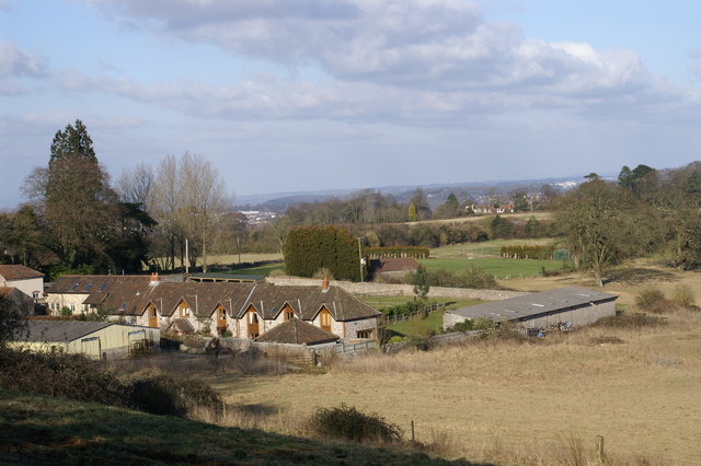
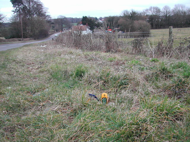
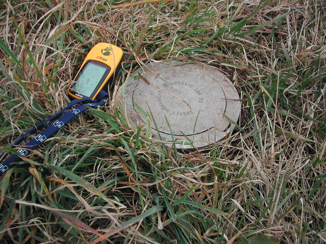
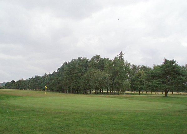
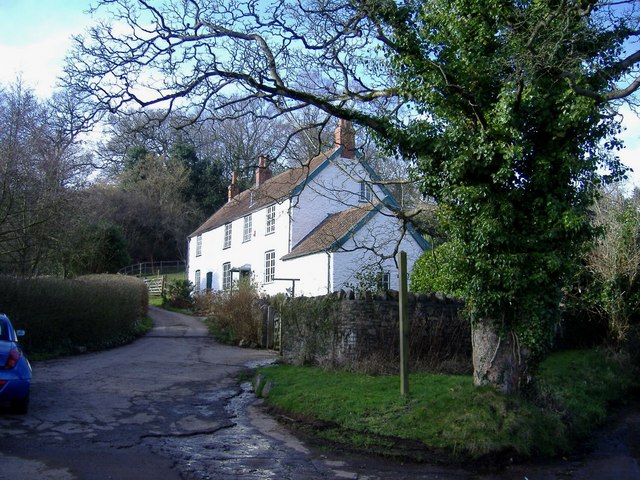
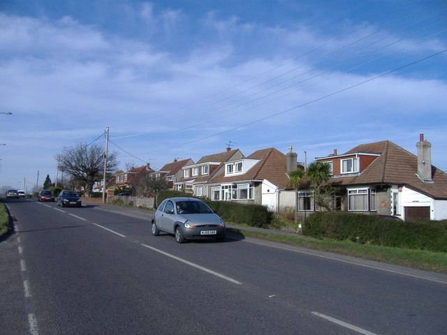
Alder Bed Wood Images

Images are sourced within 2km of 51.456977/-2.6917644 or Grid Reference ST5273. Thanks to Geograph Open Source API. All images are credited.

Fish Pond This lake in Fish Pond Wood once provided fish for the divines of Bristol Cathedral.
Fish Pond
This lake in Fish Pond Wood once provided fish for the divines of Bristol Cathedral.
Easton in Gordano: Hailswood Ruinous buildings of unknown function lie in a valley 200 yards west of the Rudgleigh Inn.
Thought by a retired gamekeeper for the estate to have been a snuff mill, but not shown on the first edition  25” Ordnance Survey map. Tobacco was one of Bristol’s port industries from the 17th century, shipped in from Virginia, and in the 20th century W D & H O Wills had large factories in Bedminster
Easton in Gordano: Hailswood
Ruinous buildings of unknown function lie in a valley 200 yards west of the Rudgleigh Inn. Thought by a retired gamekeeper for the estate to have been a snuff mill, but not shown on the first edition 25” Ordnance Survey map. Tobacco was one of Bristol’s port industries from the 17th century, shipped in from Virginia, and in the 20th century W D & H O Wills had large factories in Bedminster
Failand Hill House
Failand Hill House
Ordnance Survey Triangulation Station The yellow GPSr unit sits on a trig point, not the traditional pillar but a 'Bernsten' station no. H2ST5171 See the Trigpointing webpage <span class="nowrap"><a title="http://www.trigpointing.com/trigs/trig-details.php?t=630" rel="nofollow ugc noopener" href="http://www.trigpointing.com/trigs/trig-details.php?t=630">Link</a><img style="margin-left:2px;" alt="External link" title="External link - shift click to open in new window" src="https://s1.geograph.org.uk/img/external.png" width="10" height="10"/></span>

For closeup of Bernsten see <a title="https://www.geograph.org.uk/photo/140020" href="https://www.geograph.org.uk/photo/140020">Link</a>
Ordnance Survey Triangulation Station
The yellow GPSr unit sits on a trig point, not the traditional pillar but a 'Bernsten' station no. H2ST5171 See the Trigpointing webpage LinkExternal link For closeup of Bernsten see Link
Bernsten cover to OS Trig Point Supplemental - see here for location <a title="https://www.geograph.org.uk/photo/139908" href="https://www.geograph.org.uk/photo/139908">Link</a>
Bernsten cover to OS Trig Point
Supplemental - see here for location Link
Bristol and Clifton Golf Course A view of the 8th green and the fairway disappearing off to the left.
Bristol and Clifton Golf Course
A view of the 8th green and the fairway disappearing off to the left.
Wraxall piece An open space within the wooded area called Wraxall piece.
Wraxall piece
An open space within the wooded area called Wraxall piece.
Weir Lane A view looking up Weir Lane (facing south).  Fifty Acre wood is on the left and the Bristol and Clifton golf course on the right.
Weir Lane
A view looking up Weir Lane (facing south). Fifty Acre wood is on the left and the Bristol and Clifton golf course on the right.
Trees A stand of trees near the 12th green on the Bristol and Clifton golf course.
Trees
A stand of trees near the 12th green on the Bristol and Clifton golf course.
Yew Tree Plantation The name of the plantation doesn't match the type of tree.  Evidently Yew Tree Plantation has become an apple orchard.
Yew Tree Plantation
The name of the plantation doesn't match the type of tree. Evidently Yew Tree Plantation has become an apple orchard.
Round Hill Clump A relatively small plantation on top of a small hill.  Taken from a bridleway to the north.
Round Hill Clump
A relatively small plantation on top of a small hill. Taken from a bridleway to the north.
Warren House Plantation
Honor Cottage Situated on the minor road from Portbury to Failand.
Honor Cottage
Situated on the minor road from Portbury to Failand.
Old School House, Lower Failand Converted to a dwelling.
Old School House, Lower Failand
Converted to a dwelling.
White cottage, Lower Failand An isolated house, set in the folds of a steep sided valley.
White cottage, Lower Failand
An isolated house, set in the folds of a steep sided valley.
Dutch bungalows Line the A369 from Bristol to Portishead, near Pill.
Dutch bungalows
Line the A369 from Bristol to Portishead, near Pill.
Show me another place!

Alder Bed Wood is located at Grid Ref: ST5273 (Lat: 51.456977, Lng: -2.6917644)

Unitary Authority: North Somerset

Police Authority: Avon and Somerset

What 3 Words

///swan.prop.curvy. Near Easton-in-Gordano, Somerset

Related Wikis

Wraxall Camp

Wraxall Camp, or Failand Camp, is a small round earthwork in Somerset. The remains are indistinct and thickly covered by woods, but it appears to have...

Failand

Failand is a village in Somerset, England. It lies within the civil parish of Wraxall and Failand and the unitary authority area of North Somerset. The...

St Katherine's School

St Katherine's School is a co-educational secondary school and sixth form located in the English county of Somerset. Commonly known to be located in Pill...

Easton in Gordano

Easton in Gordano () is a village in Somerset, England, about 4+1⁄2 miles (7 km) northwest of Bristol city centre. It is part of the civil parish of Pill...

Portbury

Portbury is a village and civil parish in Somerset, England within the unitary authority of North Somerset. The parish includes the hamlet of Sheepway...

Bristol City W.F.C.

Bristol City Women's Football Club is a women's association football team from the city of Bristol. Formed in 1998 as Bristol Rovers W.F.C., they were...

Tyntesfield

Tyntesfield is a Victorian Gothic Revival country house and estate near Wraxall, North Somerset, England. The house is a Grade I listed building named...

Gordano services

Gordano services ( gor-DAY-noh) is a motorway service station located at junction 19 of the M5 motorway at the southern end of the Avonmouth Bridge, west...

Nearby Amenities

Located within 500m of 51.456977,-2.6917644
Post Box
Brand: Royal Mail
Brand Wikidata: Q638098
Collection Times: Mo-Fr 16:30; Sa 10:45; Su off
Drive Through: no
Operator: Royal Mail
Operator Wikidata: Q638098
Post Box Design: type_l
Post Box Mounting: stone_wall
Post Box Type: lamp
Ref: BS8 294
Royal Cypher: EIIR
Royal Cypher Wikidata: Q33102113
Source: survey;streetlevel imagery;aerial imagery
Lat/Long: 51.4588549/-2.694535
Barrier: kissing_gate
Lat/Long: 51.453857/-2.6914647
Barrier: stile
Lat/Long: 51.4593984/-2.6978388
Bench
Backrest: yes
Material: wood
Seats: 4
Lat/Long: 51.4584021/-2.6980566
Barrier: stile
Lat/Long: 51.4586174/-2.6980397
Failand Estate
Board Type: map
Information: board
Tourism: information
Lat/Long: 51.4590583/-2.6944277
The data included in this document is from www.openstreetmap.org. The data is made available under ODbL.

Have you been to Alder Bed Wood?

Leave your review of Alder Bed Wood below (or comments, questions and feedback).