Boat Wood
Wood, Forest in Lancashire Lancaster
England
Boat Wood

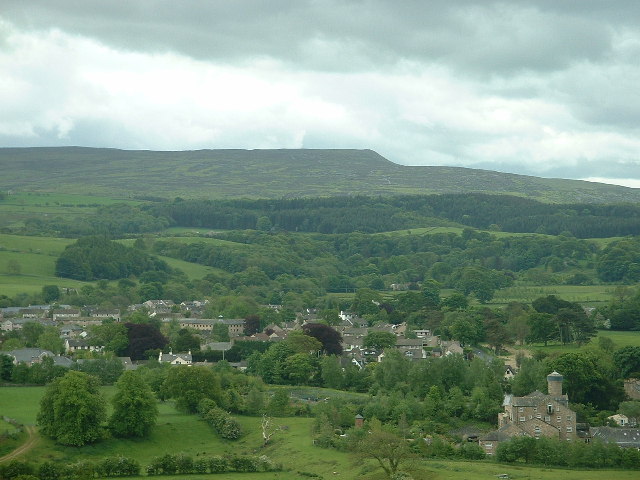
Boat Wood is a picturesque forest located in the rural county of Lancashire, England. Covering an area of approximately 50 acres, it is nestled within the lush landscape of the Ribble Valley, attracting nature enthusiasts and outdoor adventurers alike.
This ancient woodland is renowned for its diverse range of tree species, including towering oaks, beeches, and birches, which create a dense canopy overhead. The forest floor is carpeted with a variety of wildflowers, ferns, and mosses, adding to the enchanting atmosphere of the woodland.
The wood is crisscrossed by a network of well-maintained trails, allowing visitors to explore its beauty on foot or by bike. These paths lead to hidden gems such as a tranquil pond teeming with aquatic life and a small stream that meanders through the heart of the wood, providing a soothing soundtrack to the serene surroundings.
Boat Wood is also home to a rich array of wildlife. Birdwatchers can spot numerous species, including woodpeckers, owls, and warblers, while lucky visitors may even catch a glimpse of elusive mammals such as deer and foxes. The forest provides a vital habitat for these creatures, making it an important conservation area.
With its idyllic setting and natural beauty, Boat Wood offers a peaceful escape from the hustle and bustle of modern life. Whether it be for a leisurely stroll, a picnic in the shade of ancient trees, or simply to immerse oneself in the tranquility of nature, this Lancashire woodland is a haven for those seeking solace in the great outdoors.
If you have any feedback on the listing, please let us know in the comments section below.
Boat Wood Images
Images are sourced within 2km of 54.077408/-2.7346206 or Grid Reference SD5264. Thanks to Geograph Open Source API. All images are credited.


Boat Wood is located at Grid Ref: SD5264 (Lat: 54.077408, Lng: -2.7346206)
Administrative County: Lancashire
District: Lancaster
Police Authority: Lancashire
What 3 Words
///tarnished.inviting.bluffs. Near Caton, Lancashire
Nearby Locations
Related Wikis
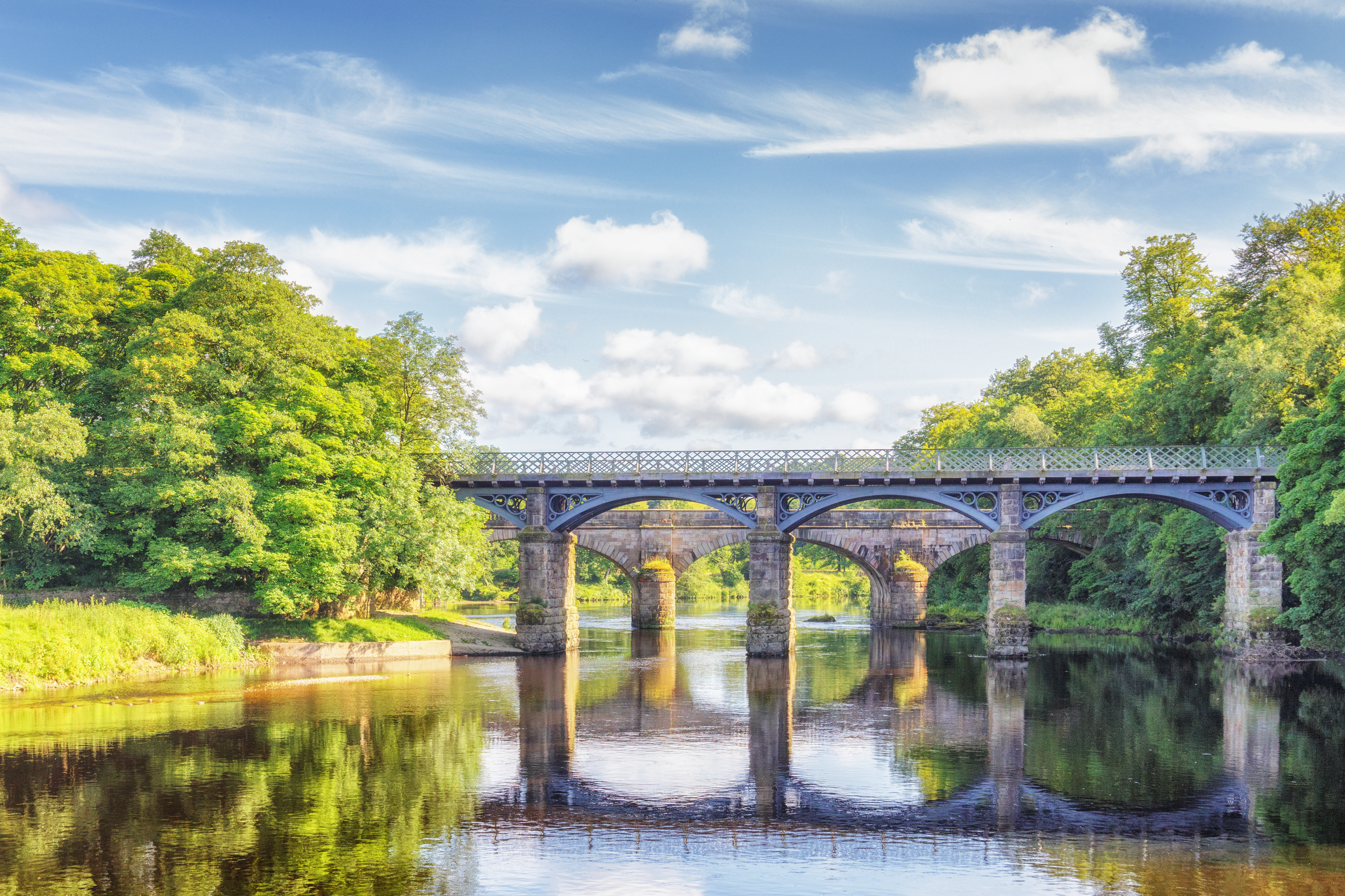
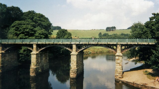
Crook o' Lune
The Crook o' Lune or Crook of Lune, about three miles north-east of Lancaster, Lancashire, is a horseshoe bend of the River Lune, which here meanders through...
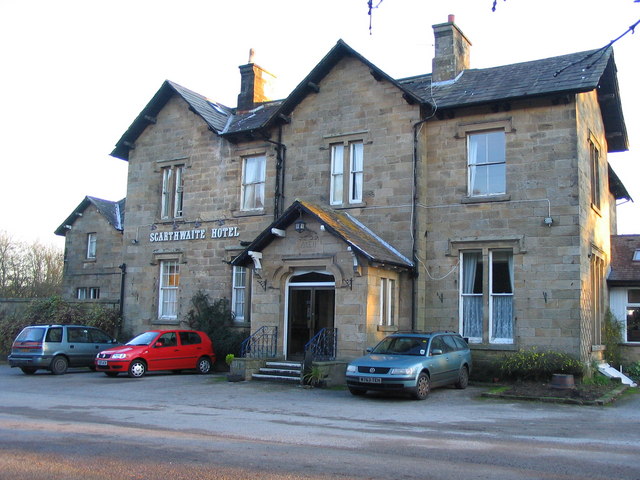
The Scarthwaite Hotel
The Scarthwaite Country House Hotel at Crook O’Lune near Caton in Lancashire is a house of historical significance. It was built in 1858 by Adam Hodgson...
North West England
North West England (North West Region) is one of nine official regions of England and consists of the ceremonial counties of Cheshire, Cumbria, Greater...

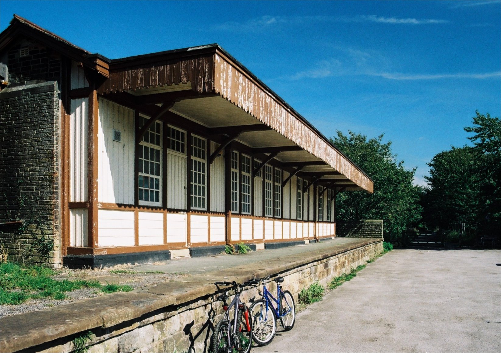
Caton railway station
Caton railway station served the village of Caton in the City of Lancaster district of Lancashire, England. The station was located near Ball Lane and...
Caton-with-Littledale
The civil parish of Caton-with-Littledale is situated in Lancashire, England, near the River Lune. The parish lies within the Forest of Bowland Area of...

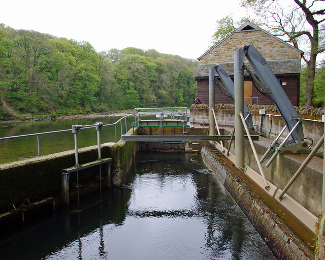
Artle Beck
Artle Beck is a minor river of Lancashire. Rising at the confluence of Udale Beck and Foxdale Beck below Fosdale Bridge and Udale Bridge near Crossgill...
Lancaster University Boat Club
Lancaster University Boat Club (LUBC) is the rowing club of Lancaster University. The club was founded in 1964 with the inception of the university by...
Halton railway station (Lancashire)
Halton railway station served the village of Halton in Lancashire, England. It closed in 1966, but the station building and part of one platform survive...
Nearby Amenities
Located within 500m of 54.077408,-2.7346206Have you been to Boat Wood?
Leave your review of Boat Wood below (or comments, questions and feedback).