West Tanpit Wood

Wood, Forest in Somerset

England

West Tanpit Wood

Fish Pond This lake in Fish Pond Wood once provided fish for the divines of Bristol Cathedral.
Fish Pond Credit: Graeme Churchard

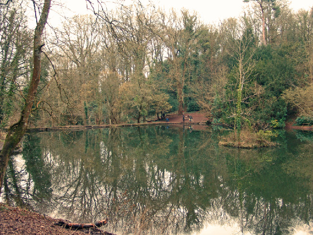
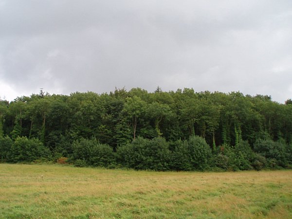
West Tanpit Wood is a charming woodland located in Somerset, England. Covering an area of approximately 50 hectares, it is a popular destination for nature enthusiasts and a haven for wildlife. The wood is situated in the parish of Wedmore, just a short distance from the picturesque village.

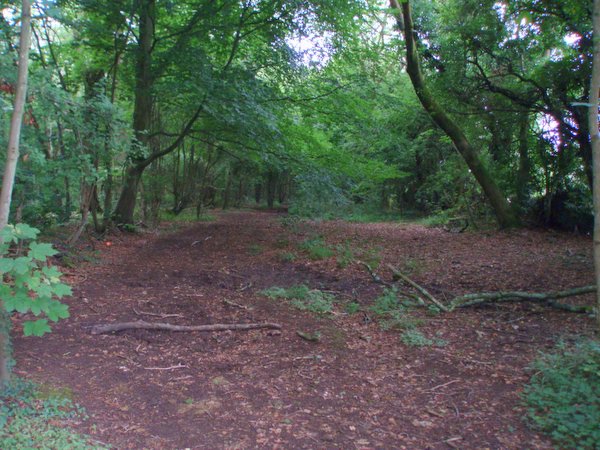
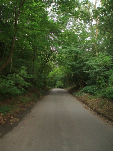
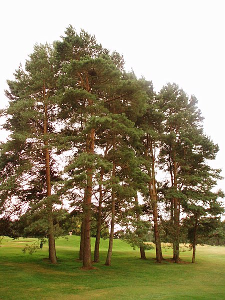
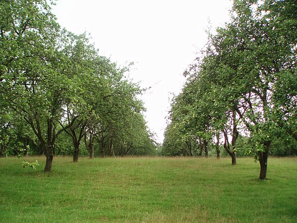
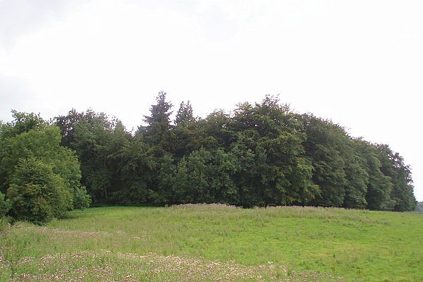
The woodland comprises a mixture of deciduous and coniferous trees, creating a diverse and vibrant ecosystem. Ancient oak and ash trees dominate the landscape, providing a rich habitat for a variety of bird species, including woodpeckers, nuthatches, and tawny owls. The forest floor is adorned with a carpet of bluebells in the spring and various wildflowers throughout the year.

West Tanpit Wood offers a network of well-maintained footpaths that allow visitors to explore its beauty. The trails wind through the wood, providing opportunities to observe wildlife and appreciate the peaceful surroundings. There is also a picnic area where visitors can relax and enjoy a meal amidst the tranquil atmosphere.

The woodland is managed by the local council, which ensures the preservation of its natural beauty and biodiversity. Additionally, efforts are made to maintain the balance between recreational activities and the conservation of the wood’s delicate ecosystem.

West Tanpit Wood is a true gem in the heart of Somerset, offering a serene retreat for nature lovers and a chance to immerse oneself in the beauty of the English countryside.

If you have any feedback on the listing, please let us know in the comments section below.

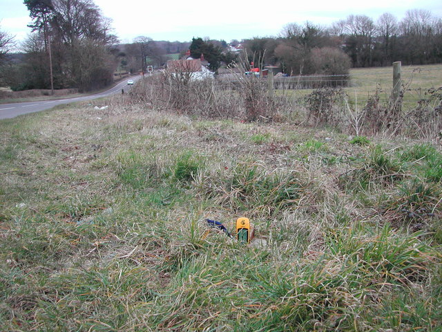
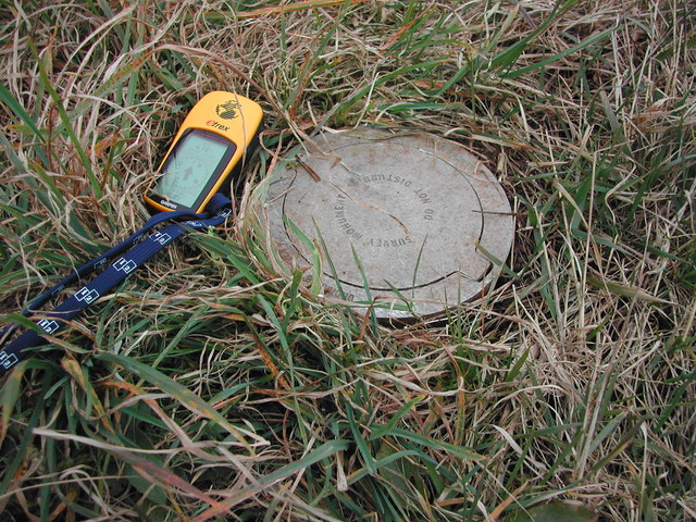
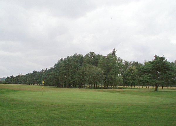
West Tanpit Wood Images

Images are sourced within 2km of 51.454827/-2.6857448 or Grid Reference ST5273. Thanks to Geograph Open Source API. All images are credited.

Fish Pond This lake in Fish Pond Wood once provided fish for the divines of Bristol Cathedral.
Fish Pond
This lake in Fish Pond Wood once provided fish for the divines of Bristol Cathedral.
Corus Hotel and Fitness Club, Beggar Bush Lane Formerly called Redwood Lodge, a group of rather dull buildings in wonderful countryside!
Corus Hotel and Fitness Club, Beggar Bush Lane
Formerly called Redwood Lodge, a group of rather dull buildings in wonderful countryside!
Abbot's Leigh - The George
Failand Hill House
Failand Hill House
Ordnance Survey Triangulation Station The yellow GPSr unit sits on a trig point, not the traditional pillar but a 'Bernsten' station no. H2ST5171 See the Trigpointing webpage <span class="nowrap"><a title="http://www.trigpointing.com/trigs/trig-details.php?t=630" rel="nofollow ugc noopener" href="http://www.trigpointing.com/trigs/trig-details.php?t=630">Link</a><img style="margin-left:2px;" alt="External link" title="External link - shift click to open in new window" src="https://s1.geograph.org.uk/img/external.png" width="10" height="10"/></span>

For closeup of Bernsten see <a title="https://www.geograph.org.uk/photo/140020" href="https://www.geograph.org.uk/photo/140020">Link</a>
Ordnance Survey Triangulation Station
The yellow GPSr unit sits on a trig point, not the traditional pillar but a 'Bernsten' station no. H2ST5171 See the Trigpointing webpage LinkExternal link For closeup of Bernsten see Link
Bernsten cover to OS Trig Point Supplemental - see here for location <a title="https://www.geograph.org.uk/photo/139908" href="https://www.geograph.org.uk/photo/139908">Link</a>
Bernsten cover to OS Trig Point
Supplemental - see here for location Link
Bristol and Clifton Golf Course A view of the 8th green and the fairway disappearing off to the left.
Bristol and Clifton Golf Course
A view of the 8th green and the fairway disappearing off to the left.
Wraxall piece An open space within the wooded area called Wraxall piece.
Wraxall piece
An open space within the wooded area called Wraxall piece.
Weir Lane A view looking up Weir Lane (facing south).  Fifty Acre wood is on the left and the Bristol and Clifton golf course on the right.
Weir Lane
A view looking up Weir Lane (facing south). Fifty Acre wood is on the left and the Bristol and Clifton golf course on the right.
Trees A stand of trees near the 12th green on the Bristol and Clifton golf course.
Trees
A stand of trees near the 12th green on the Bristol and Clifton golf course.
Yew Tree Plantation The name of the plantation doesn't match the type of tree.  Evidently Yew Tree Plantation has become an apple orchard.
Yew Tree Plantation
The name of the plantation doesn't match the type of tree. Evidently Yew Tree Plantation has become an apple orchard.
Round Hill Clump A relatively small plantation on top of a small hill.  Taken from a bridleway to the north.
Round Hill Clump
A relatively small plantation on top of a small hill. Taken from a bridleway to the north.
Warren House Plantation
Old School House, Lower Failand Converted to a dwelling.
Old School House, Lower Failand
Converted to a dwelling.
White cottage, Lower Failand An isolated house, set in the folds of a steep sided valley.
White cottage, Lower Failand
An isolated house, set in the folds of a steep sided valley.
Dutch bungalows Line the A369 from Bristol to Portishead, near Pill.
Dutch bungalows
Line the A369 from Bristol to Portishead, near Pill.
Happerton farm Situated at a junction, half way along Happerton Lane.
Happerton farm
Situated at a junction, half way along Happerton Lane.
Common Lane Near Lower Failand.
Common Lane
Near Lower Failand.
Show me another place!

West Tanpit Wood is located at Grid Ref: ST5273 (Lat: 51.454827, Lng: -2.6857448)

Unitary Authority: North Somerset

Police Authority: Avon and Somerset

What 3 Words

///dragon.events.result. Near Easton-in-Gordano, Somerset

Related Wikis

Wraxall Camp

Wraxall Camp, or Failand Camp, is a small round earthwork in Somerset. The remains are indistinct and thickly covered by woods, but it appears to have...

Failand

Failand is a village in Somerset, England. It lies within the civil parish of Wraxall and Failand and the unitary authority area of North Somerset. The...

Bristol City W.F.C.

Bristol City Women's Football Club is a women's association football team from the city of Bristol. Formed in 1998 as Bristol Rovers W.F.C., they were...

Abbots Leigh

Abbots Leigh is a village and civil parish in North Somerset, England, about 3 miles (5 km) west of the centre of Bristol. == History == The original Middle...

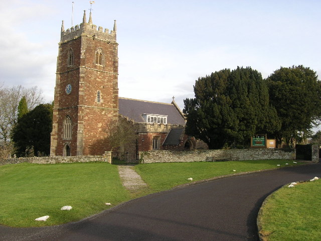
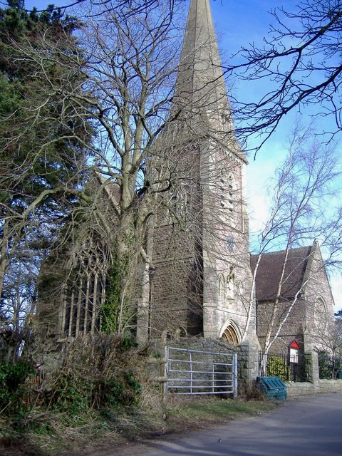
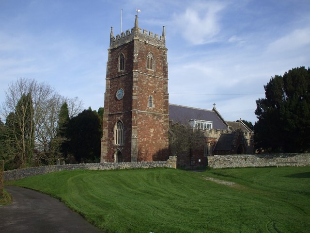
Holy Trinity Church, Abbots Leigh

Holy Trinity Church in Abbots Leigh within the English county of Somerset is a 15th-century Perpendicular Gothic building, restored and partially rebuilt...

St Katherine's School

St Katherine's School is a co-educational secondary school and sixth form located in the English county of Somerset. Commonly known to be located in Pill...

Tyntesfield

Tyntesfield is a Victorian Gothic Revival country house and estate near Wraxall, North Somerset, England. The house is a Grade I listed building named...

Leigh Court

Leigh Court is a country house which is a Grade II* listed building in Abbots Leigh, Somerset, England. The grounds and park are listed, Grade II, on the...

Nearby Amenities

Located within 500m of 51.454827,-2.6857448
Barrier: kissing_gate
Lat/Long: 51.453857/-2.6914647
Barrier: kissing_gate
Lat/Long: 51.4510014/-2.6884323
The data included in this document is from www.openstreetmap.org. The data is made available under ODbL.

Have you been to West Tanpit Wood?

Leave your review of West Tanpit Wood below (or comments, questions and feedback).