Old Park

Downs, Moorland in Somerset

England

Old Park

Fish Pond This lake in Fish Pond Wood once provided fish for the divines of Bristol Cathedral.
Fish Pond Credit: Graeme Churchard

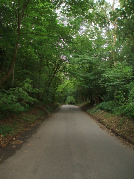
Old Park, Somerset, is a picturesque region located in the south-west of England. Nestled between the rolling hills of the Somerset Downs and the vast moorlands, this area offers a unique blend of natural beauty and historical charm.

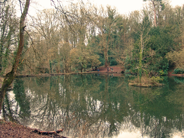
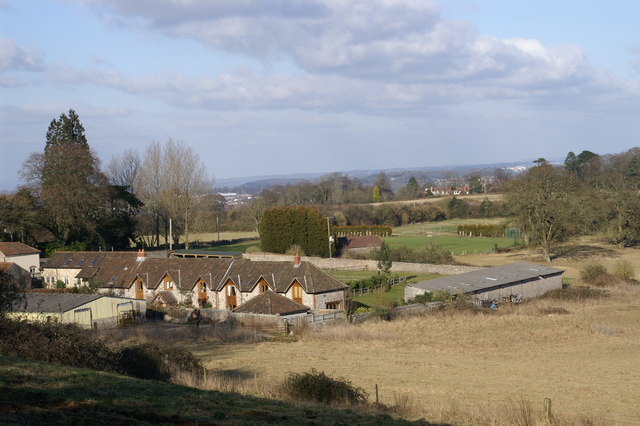
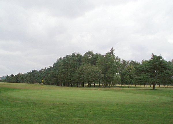
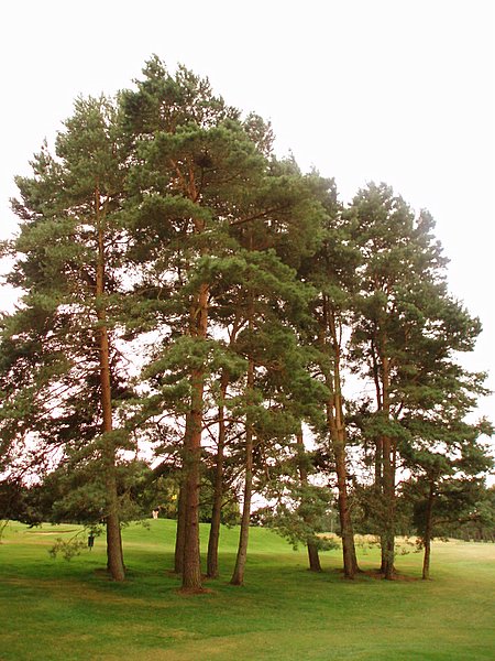
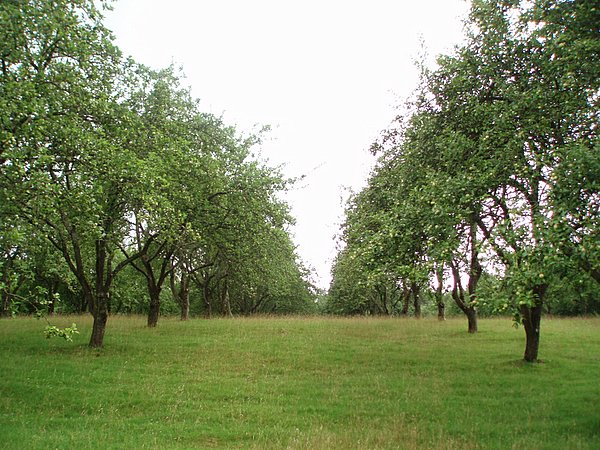
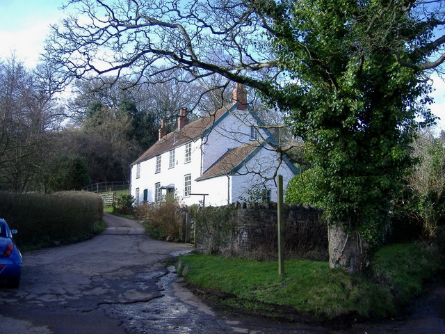
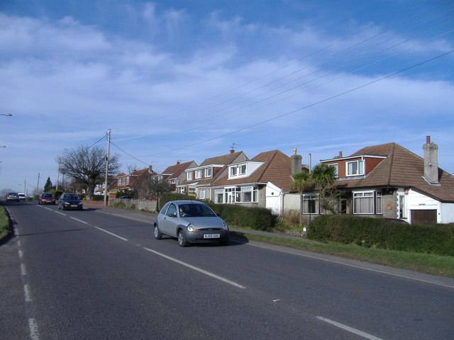
The Somerset Downs, characterized by their gentle slopes and verdant pastures, provide a scenic backdrop to the landscape. The Downs are dotted with traditional English villages, rustic cottages, and quaint farmhouses, adding to the area's rural charm. Walking trails crisscross the Downs, offering visitors the opportunity to explore the stunning countryside and enjoy breathtaking views of the surrounding valleys and hills.

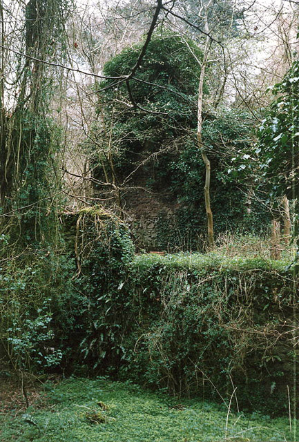
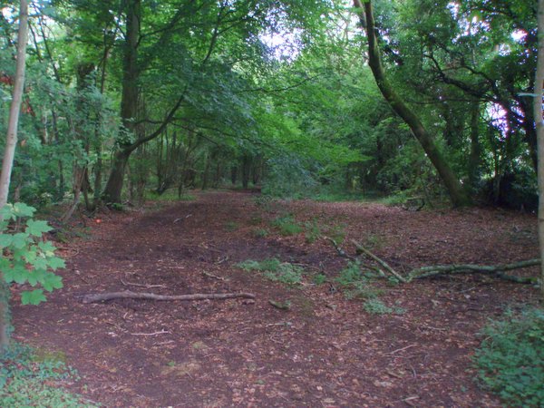
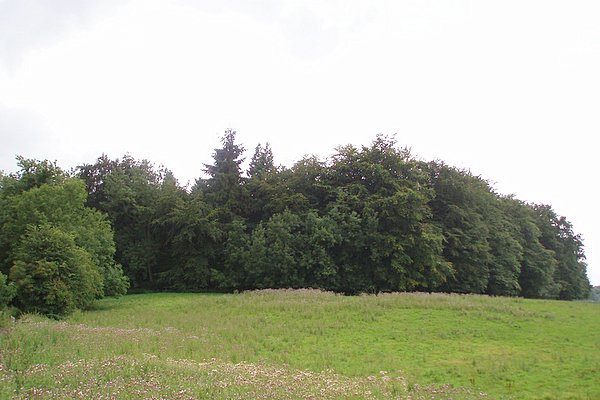
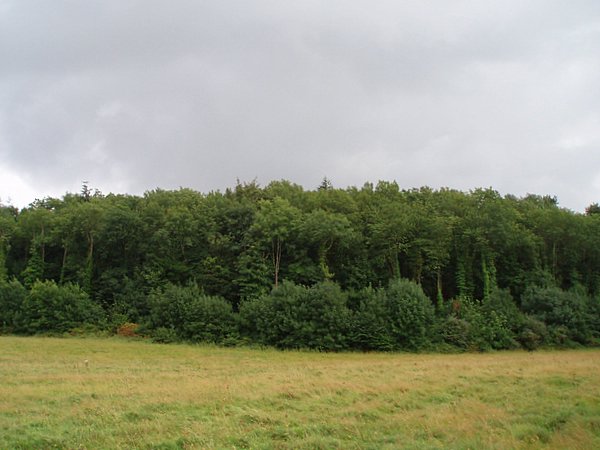
To the east of Old Park lies the expansive moorland, an area of wild beauty. This untamed terrain is covered in heather and gorse, creating a vibrant tapestry of colors. The moorland is home to a variety of wildlife, including ponies, deer, and numerous bird species. Nature enthusiasts can explore the moorland on foot or horseback, immersing themselves in the tranquil ambiance of this untouched wilderness.

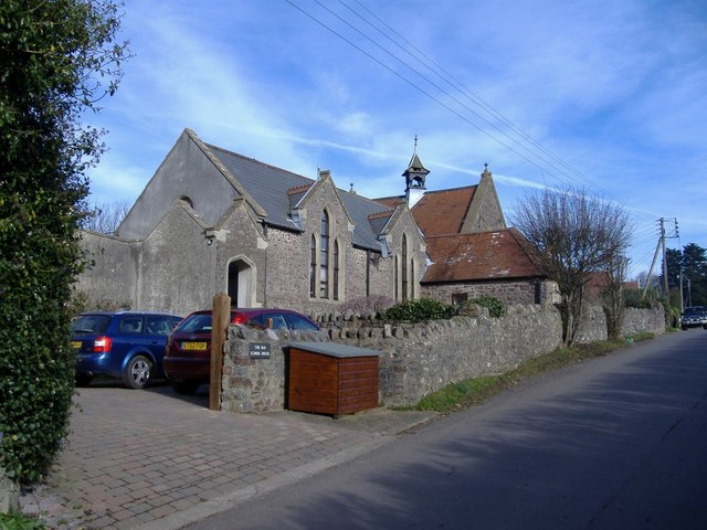
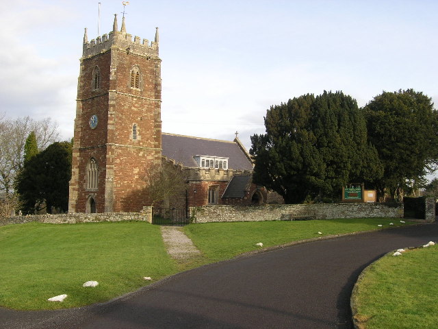
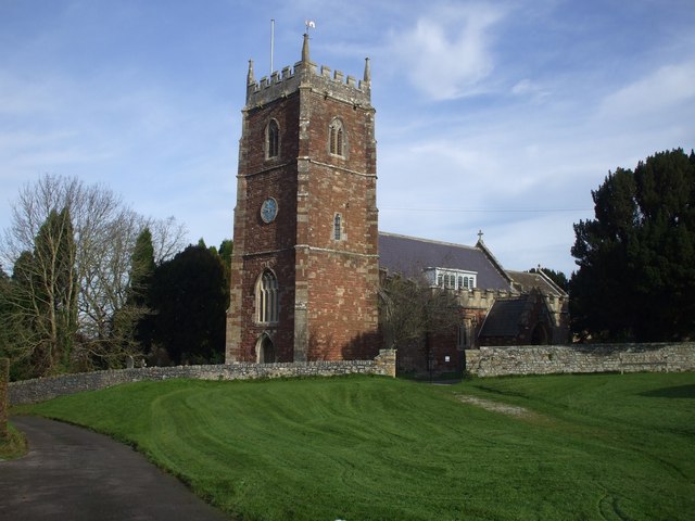
Old Park itself is a small village known for its historical significance. It boasts a charming medieval church, St. Mary's, which dates back to the 12th century. The church's architecture, with its intricate stonework and stained glass windows, is a testament to the village's rich heritage.

Overall, Old Park, Somerset, is a haven for nature lovers and history enthusiasts alike. With its stunning landscapes, ancient landmarks, and peaceful atmosphere, it offers a quintessentially English experience that is sure to captivate visitors.

If you have any feedback on the listing, please let us know in the comments section below.

Old Park Images

Images are sourced within 2km of 51.459712/-2.6822196 or Grid Reference ST5273. Thanks to Geograph Open Source API. All images are credited.

Fish Pond This lake in Fish Pond Wood once provided fish for the divines of Bristol Cathedral.
Fish Pond
This lake in Fish Pond Wood once provided fish for the divines of Bristol Cathedral.
Easton in Gordano: Hailswood Ruinous buildings of unknown function lie in a valley 200 yards west of the Rudgleigh Inn.
Thought by a retired gamekeeper for the estate to have been a snuff mill, but not shown on the first edition  25” Ordnance Survey map. Tobacco was one of Bristol’s port industries from the 17th century, shipped in from Virginia, and in the 20th century W D & H O Wills had large factories in Bedminster
Easton in Gordano: Hailswood
Ruinous buildings of unknown function lie in a valley 200 yards west of the Rudgleigh Inn. Thought by a retired gamekeeper for the estate to have been a snuff mill, but not shown on the first edition 25” Ordnance Survey map. Tobacco was one of Bristol’s port industries from the 17th century, shipped in from Virginia, and in the 20th century W D & H O Wills had large factories in Bedminster
Abbot's Leigh - The George
Abbot's Leigh Church
Failand Hill House
Failand Hill House
Pill Fire Station Pill Fire Station, Westward Drive, Pill, Bristol is station number 08 of Avon Fire & Rescue Service
Pill Fire Station
Pill Fire Station, Westward Drive, Pill, Bristol is station number 08 of Avon Fire & Rescue Service
Bristol and Clifton Golf Course A view of the 8th green and the fairway disappearing off to the left.
Bristol and Clifton Golf Course
A view of the 8th green and the fairway disappearing off to the left.
Wraxall piece An open space within the wooded area called Wraxall piece.
Wraxall piece
An open space within the wooded area called Wraxall piece.
Weir Lane A view looking up Weir Lane (facing south).  Fifty Acre wood is on the left and the Bristol and Clifton golf course on the right.
Weir Lane
A view looking up Weir Lane (facing south). Fifty Acre wood is on the left and the Bristol and Clifton golf course on the right.
Trees A stand of trees near the 12th green on the Bristol and Clifton golf course.
Trees
A stand of trees near the 12th green on the Bristol and Clifton golf course.
Yew Tree Plantation The name of the plantation doesn't match the type of tree.  Evidently Yew Tree Plantation has become an apple orchard.
Yew Tree Plantation
The name of the plantation doesn't match the type of tree. Evidently Yew Tree Plantation has become an apple orchard.
Round Hill Clump A relatively small plantation on top of a small hill.  Taken from a bridleway to the north.
Round Hill Clump
A relatively small plantation on top of a small hill. Taken from a bridleway to the north.
Warren House Plantation
Trees at Ham Green This was the site of a former isolation hospital. The late sunshine catches the leaves on the trees.
A railway tunnel runs underneath the park to the left of the path.
Trees at Ham Green
This was the site of a former isolation hospital. The late sunshine catches the leaves on the trees. A railway tunnel runs underneath the park to the left of the path.
Sustrans Milepost at Ham Green This rowe type milepost is on the Bristol to Portishead Cycle Path, routes 33 and 41.
Sustrans Milepost at Ham Green
This rowe type milepost is on the Bristol to Portishead Cycle Path, routes 33 and 41.
Old School House, Lower Failand Converted to a dwelling.
Old School House, Lower Failand
Converted to a dwelling.
White cottage, Lower Failand An isolated house, set in the folds of a steep sided valley.
White cottage, Lower Failand
An isolated house, set in the folds of a steep sided valley.
Dutch bungalows Line the A369 from Bristol to Portishead, near Pill.
Dutch bungalows
Line the A369 from Bristol to Portishead, near Pill.
Show me another place!

Old Park is located at Grid Ref: ST5273 (Lat: 51.459712, Lng: -2.6822196)

Unitary Authority: North Somerset

Police Authority: Avon and Somerset

What 3 Words

///critic.muddy.stage. Near Easton-in-Gordano, Somerset

Related Wikis

Nearby Amenities

Located within 500m of 51.459712,-2.6822196
The data included in this document is from www.openstreetmap.org. The data is made available under ODbL.

Have you been to Old Park?

Leave your review of Old Park below (or comments, questions and feedback).