Mary's Coppice
Wood, Forest in Dorset
England
Mary's Coppice
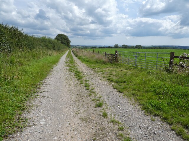
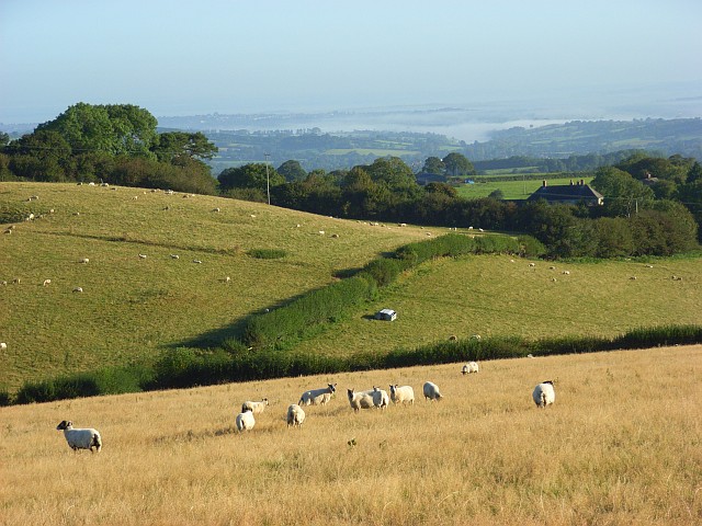
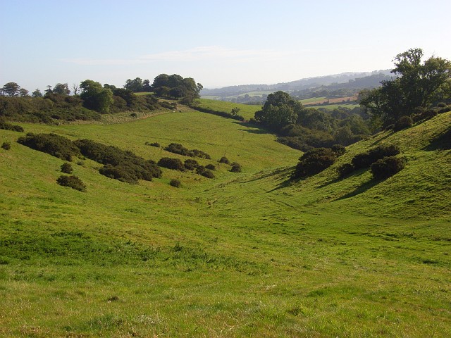
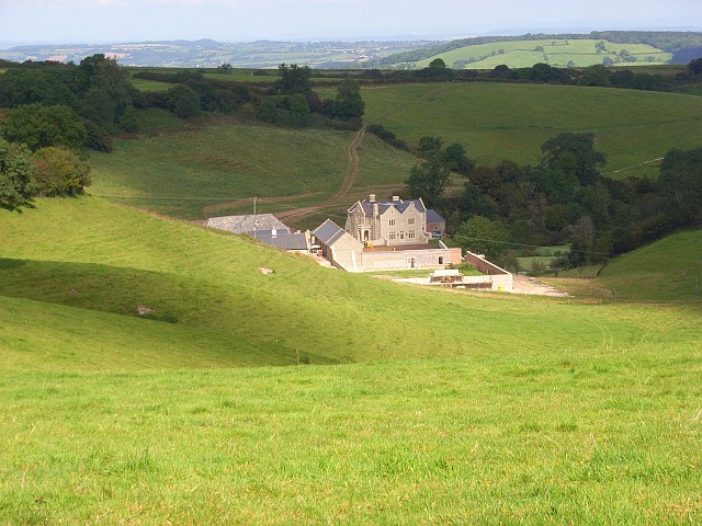
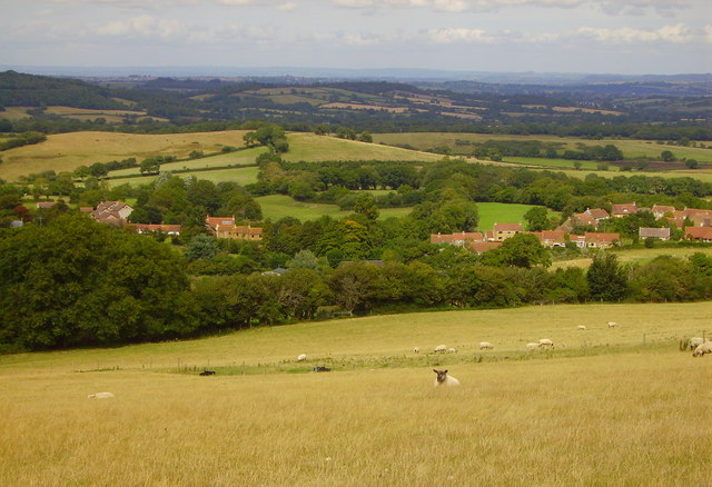
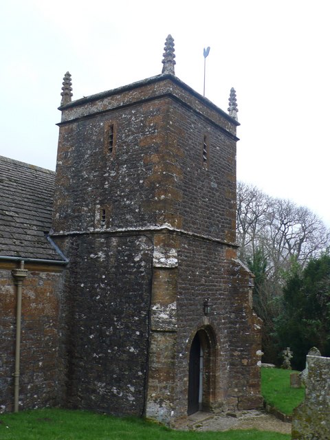
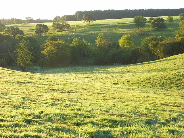
Mary's Coppice is a captivating woodland located in the picturesque county of Dorset, England. This enchanting forest spans approximately 50 acres and is nestled within the stunning landscape of the Dorset Downs, offering visitors a tranquil and immersive experience in nature.
The woodland is characterized by a diverse array of tree species, including oak, beech, ash, and birch. These majestic trees create a dense canopy that filters the sunlight, casting a soothing dappled light on the forest floor. The undergrowth is adorned with an assortment of wildflowers and ferns, adding bursts of color and texture to the woodland's ambiance.
Mary's Coppice is a haven for wildlife, providing refuge for a variety of species. The forest is home to an abundance of birdlife, including woodpeckers, owls, and various songbirds. Squirrels can be seen gracefully leaping between branches, while elusive deer occasionally emerge from the depths of the woodland.
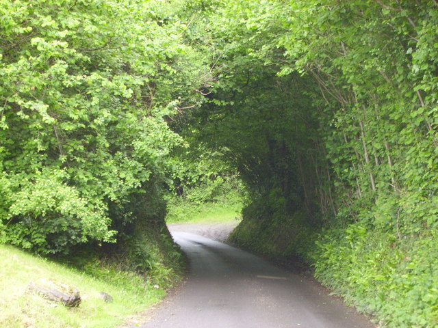
The forest offers a myriad of walking trails, inviting visitors to explore its serene beauty. These well-maintained paths wind through the woodland, guiding visitors past ancient trees and babbling brooks. The tranquility of Mary's Coppice makes it an ideal location for nature enthusiasts, walkers, and those seeking solace in the outdoors.
Additionally, the forest is a popular spot for recreational activities such as picnics, photography, and wildlife observation. Its idyllic setting makes it an attractive location for nature-inspired events, such as workshops and guided walks.
Overall, Mary's Coppice is a captivating woodland in Dorset, offering a serene escape from the bustle of everyday life. Its rich biodiversity, scenic trails, and peaceful ambiance make it a must-visit destination for nature lovers and those seeking a deeper connection with the natural world.
If you have any feedback on the listing, please let us know in the comments section below.
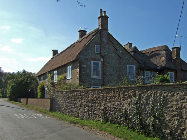
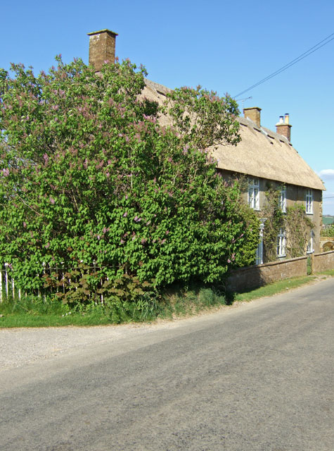
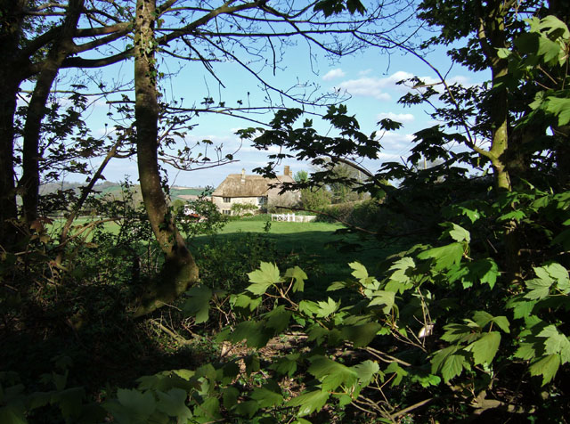
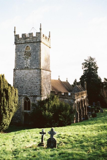
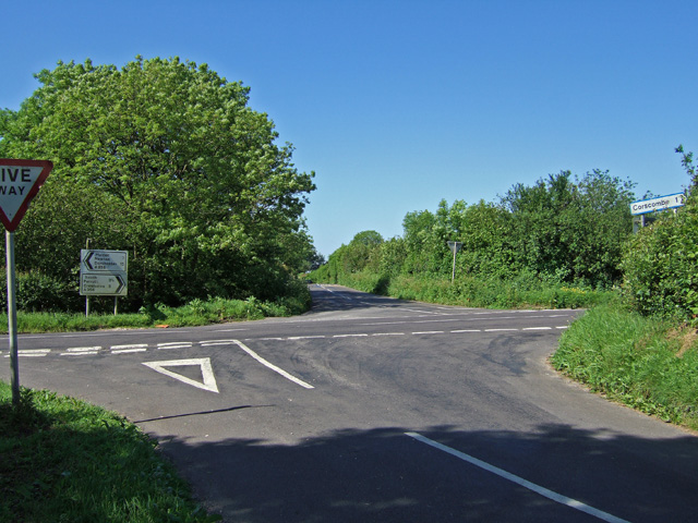
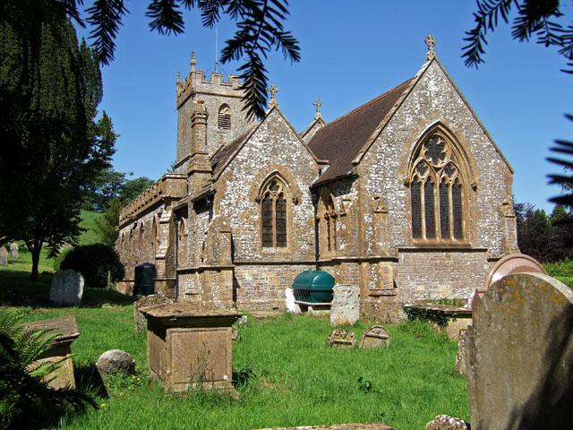
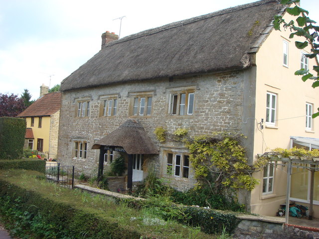
Mary's Coppice Images
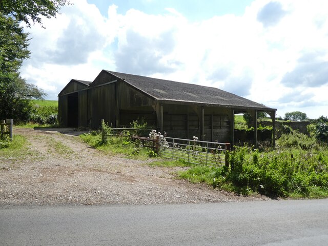
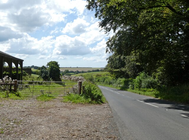
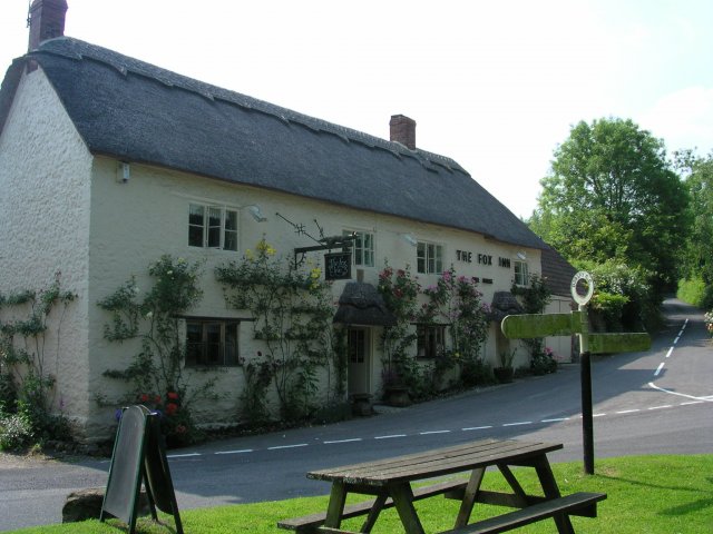
Images are sourced within 2km of 50.837727/-2.6849651 or Grid Reference ST5104. Thanks to Geograph Open Source API. All images are credited.

Mary's Coppice is located at Grid Ref: ST5104 (Lat: 50.837727, Lng: -2.6849651)
Unitary Authority: Dorset
Police Authority: Dorset
What 3 Words
///fattest.offstage.betrayal. Near Beaminster, Dorset
Nearby Locations
Related Wikis
Corscombe
Corscombe is a village and civil parish in the English county of Dorset, in the Dorset Council administrative area. The parish includes the small settlements...

Toller Down
Toller Down is one of the highest hills in the county of Dorset, England. It stands 252 metres (827 feet) high and is just 200 metres west of the main...

Weston Hill
Weston Hill is a hill, 250 metres (820 ft) high, on the A 356, 1 kilometre west of Corscombe in the county of Dorset in southern England. It is located...
West Chelborough
West Chelborough is a village and civil parish 13 miles (21 km) northwest of Dorchester, in the Dorset district, in the county of Dorset, England. In 2001...

Beaminster Down
At 244 metres, Beaminster Down is one of the highest hills in West Dorset, England. == Location == Beaminster Down is common land on the Dorset Downs and...

Toller Whelme
Toller Whelme is a small hamlet in Dorset, England, situated in the civil parish of Corscombe approximately 2.3 miles (3.7 km) east of Beaminster, 6 miles...

Chedington
Chedington is a small village and civil parish in west Dorset, England, situated near the A356 road 4 miles (6.4 km) southeast of Crewkerne in Somerset...
Aunt Mary's Bottom
Aunt Mary's Bottom (grid reference ST546023) is an 8.62 hectare biological Site of Special Scientific Interest in Dorset, England notified in 1991. �...
Have you been to Mary's Coppice?
Leave your review of Mary's Coppice below (or comments, questions and feedback).