Holt Copse
Wood, Forest in Somerset
England
Holt Copse
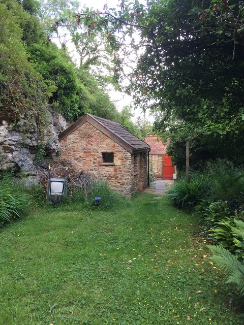
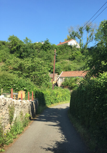
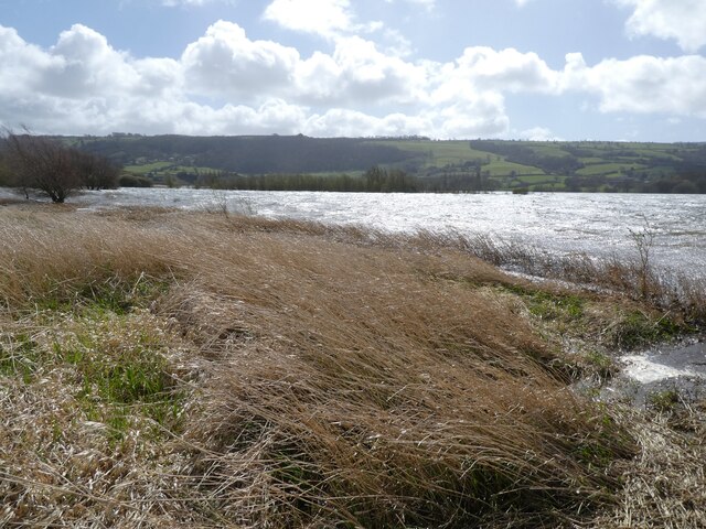
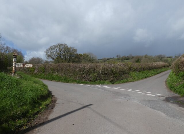
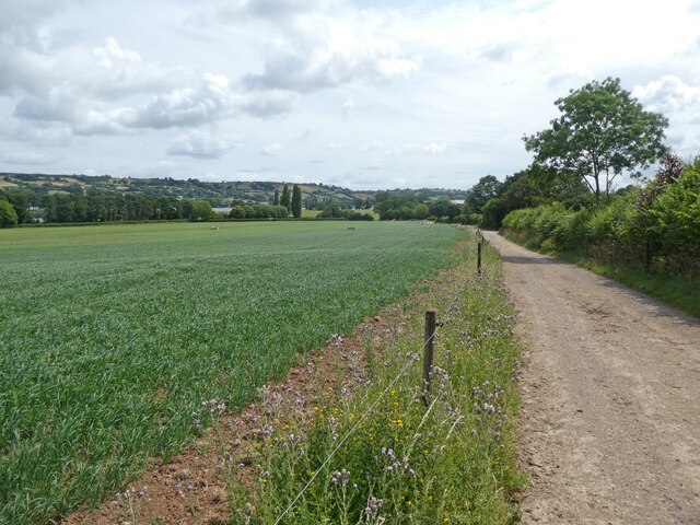
Holt Copse is a picturesque woodland located in Somerset, England. Covering an area of approximately 15 acres, it is a haven for nature lovers and outdoor enthusiasts alike. The copse is situated in the village of Holt, just a short distance from the bustling market town of Frome.
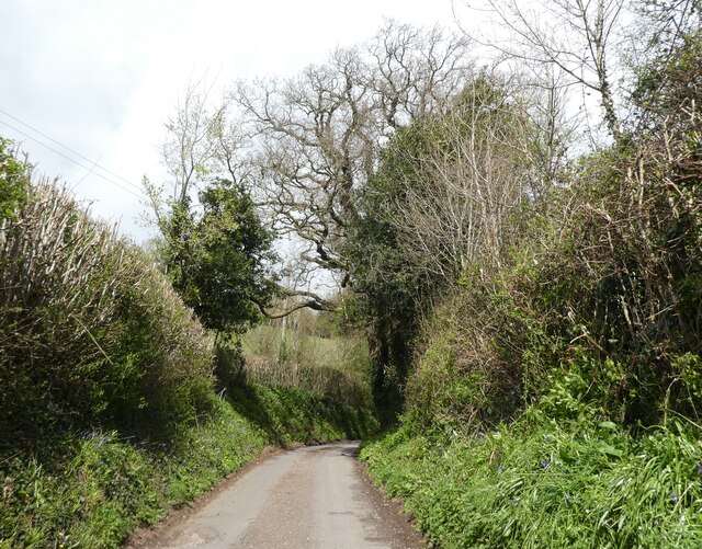
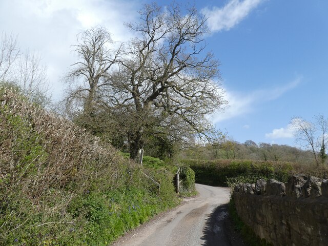
The woodland is characterized by its diverse range of native tree species, including oak, ash, beech, and birch. These majestic trees provide a dense canopy, creating a tranquil and shaded atmosphere within the copse. The forest floor is covered with a rich carpet of wildflowers, ferns, and mosses, adding to the natural beauty of the area.
Holt Copse is renowned for its abundant wildlife. It is home to a variety of bird species, such as woodpeckers, jays, and thrushes, which can be heard singing amongst the trees. The copse also provides a habitat for small mammals, including squirrels and rabbits, as well as a diverse range of insects and butterflies.
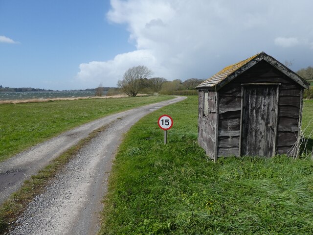
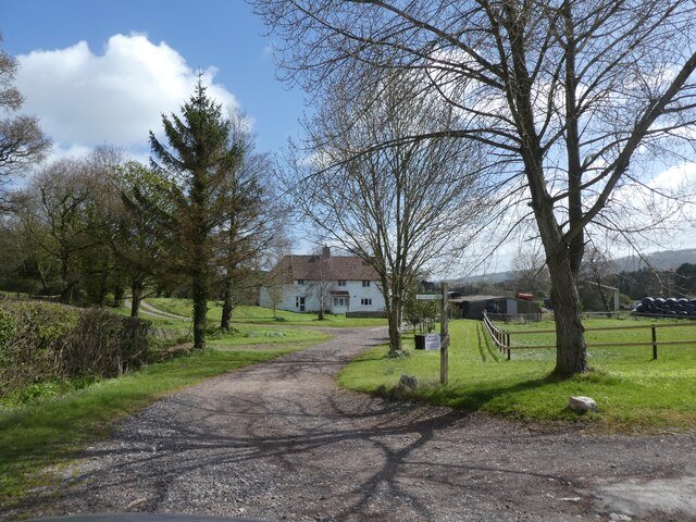
Visitors to Holt Copse can enjoy a peaceful stroll along the well-maintained footpaths that meander through the woodland. The copse is also popular with dog walkers and families, who can take advantage of the picnic areas and benches scattered throughout the area.
Holt Copse is managed by the local council, who ensure the preservation of this natural treasure. It is a wonderful place to escape the hustle and bustle of everyday life and immerse oneself in the beauty of nature.
If you have any feedback on the listing, please let us know in the comments section below.
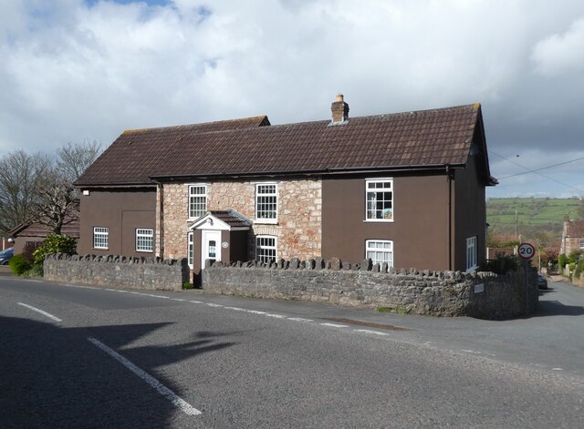
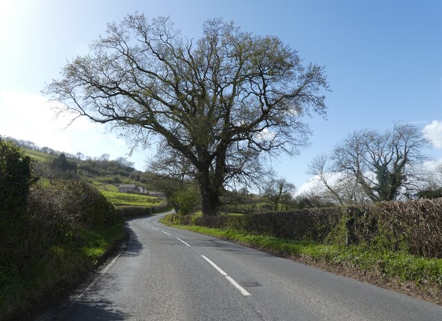
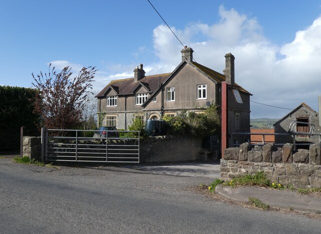
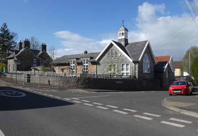
Holt Copse Images
Images are sourced within 2km of 51.328859/-2.6922311 or Grid Reference ST5159. Thanks to Geograph Open Source API. All images are credited.
Holt Copse is located at Grid Ref: ST5159 (Lat: 51.328859, Lng: -2.6922311)
Unitary Authority: North Somerset
Police Authority: Avon and Somerset
What 3 Words
///paddlers.garages.length. Near Blagdon, Somerset
Nearby Locations
Related Wikis

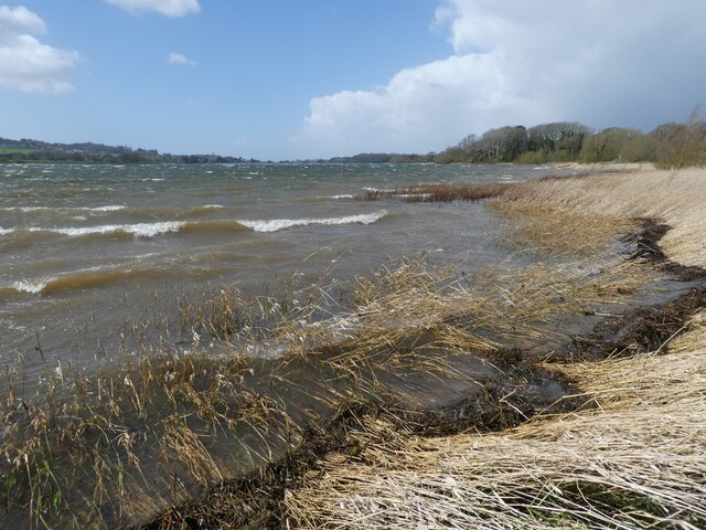
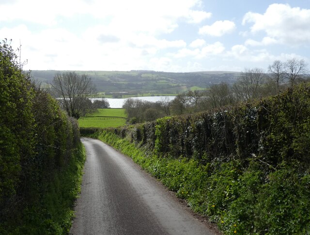
Blagdon Lake
Blagdon Lake lies in a valley at the northern edge of the Mendip Hills, close to the village of Blagdon and approximately 10 miles (16 km) south of Bristol...

Nempnett Thrubwell
Nempnett Thrubwell is a small village and civil parish in dairying country on the western edge of Bath and North East Somerset, in the county of Somerset...

Church of St Bartholomew, Ubley
The Church of St Bartholomew in Ubley, Somerset, England is a small medieval church originating from the 13th century with later additions. It has been...

Church of St Andrew, Blagdon
The Anglican Church Of St Andrew in Blagdon, within the English county of Somerset, was built in the 15th century. It is a Grade II* listed building.The...

Ubley
Ubley is a small village and civil parish within the Chew Valley in Bath and North East Somerset about 9 miles (14.5 km) south of Bristol. It is just south...

Blagdon railway station
Blagdon railway station is a closed terminus railway station situated in the village of Blagdon in North Somerset, England. The station opened on the 4...

Blagdon
Blagdon is a village and civil parish in the ceremonial county of Somerset, within the unitary authority of North Somerset, in England. It is located in...

A368 road
The A368 is a part primary status A road in North Somerset, England. It runs from Marksbury (near Bath) to Banwell (near Weston-super-Mare) along the northern...
Nearby Amenities
Located within 500m of 51.328859,-2.6922311Have you been to Holt Copse?
Leave your review of Holt Copse below (or comments, questions and feedback).