Rainbow Point
Coastal Feature, Headland, Point in Somerset
England
Rainbow Point
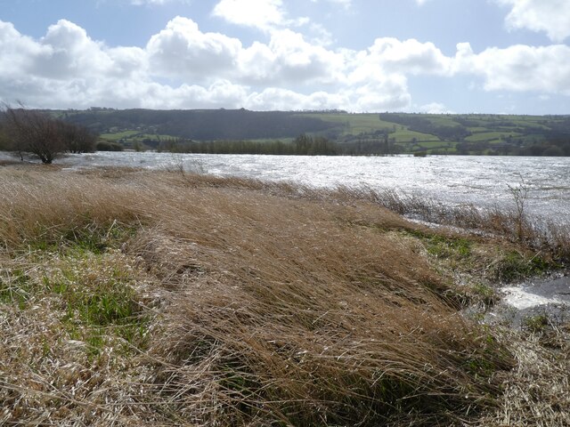
Rainbow Point is a prominent headland located in Somerset, a county in Southwest England. Situated along the picturesque coastline of the English Channel, this coastal feature offers breathtaking views and a rich history.
As a headland, Rainbow Point juts out into the sea, providing a natural barrier that protects the nearby coastline from erosion caused by the powerful tides and currents. Its strategic location makes it a popular destination for tourists and locals alike, who come to admire its stunning natural beauty and enjoy outdoor activities such as hiking, birdwatching, and photography.
The name "Rainbow Point" is derived from the vibrant colors that can often be seen in the sky above the headland. This phenomenon is caused by the interplay of sunlight and water droplets in the air, creating a spectacular display of colors that adds to the area's charm.
In addition to its natural allure, Rainbow Point is also home to a historic lighthouse. Built in the 19th century, the lighthouse stands tall on the headland, serving as a navigational aid to ships and boats in the English Channel. Although the lighthouse is no longer operational, it stands as a testament to the area's maritime past and offers visitors a glimpse into its rich heritage.
Overall, Rainbow Point in Somerset is a stunning coastal feature that combines natural beauty, outdoor activities, and a touch of history. Whether you are a nature enthusiast, history buff, or simply seeking a tranquil escape, Rainbow Point offers something for everyone.
If you have any feedback on the listing, please let us know in the comments section below.
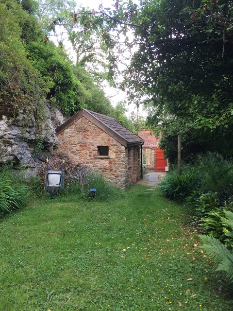
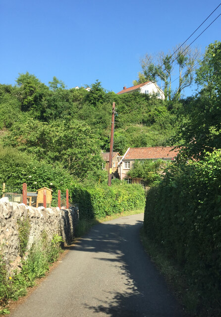
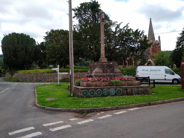
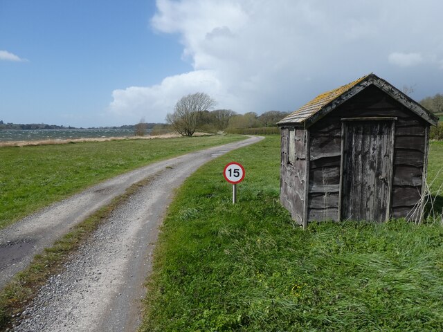
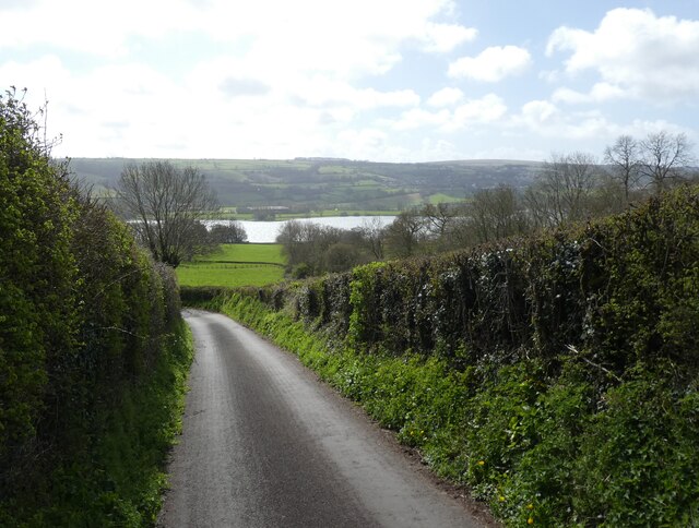
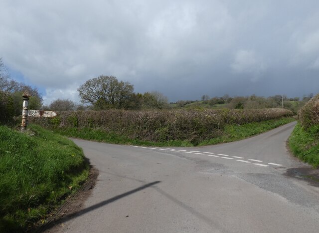
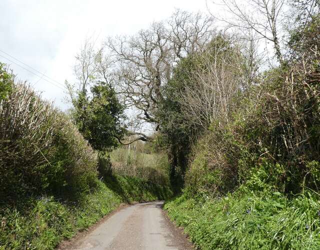
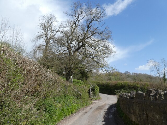
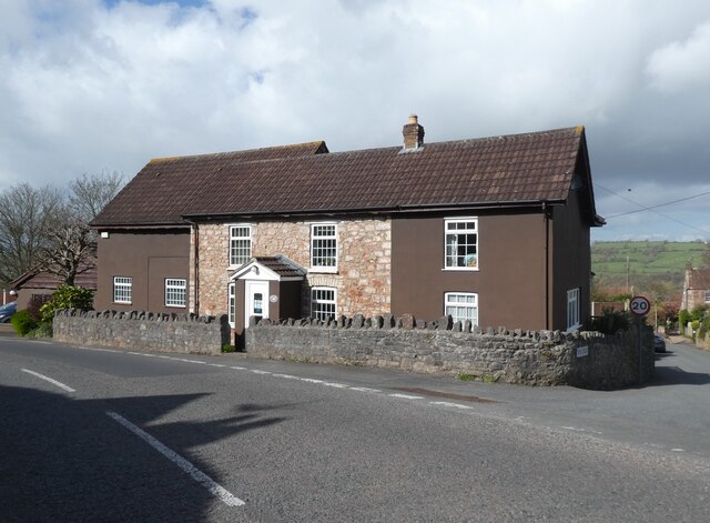
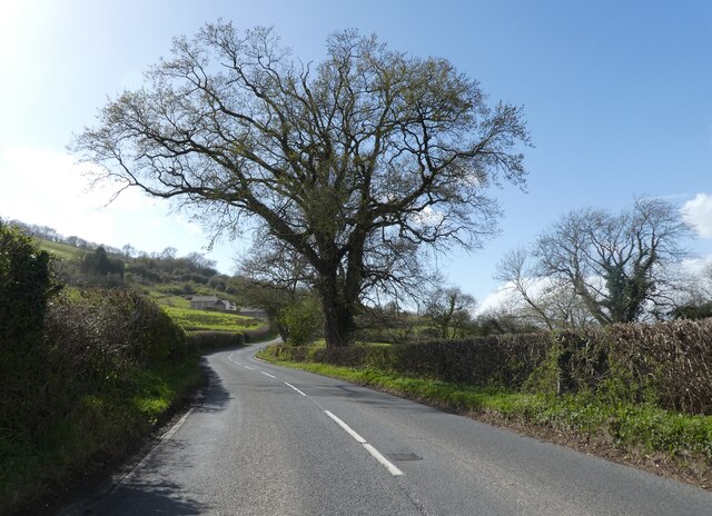
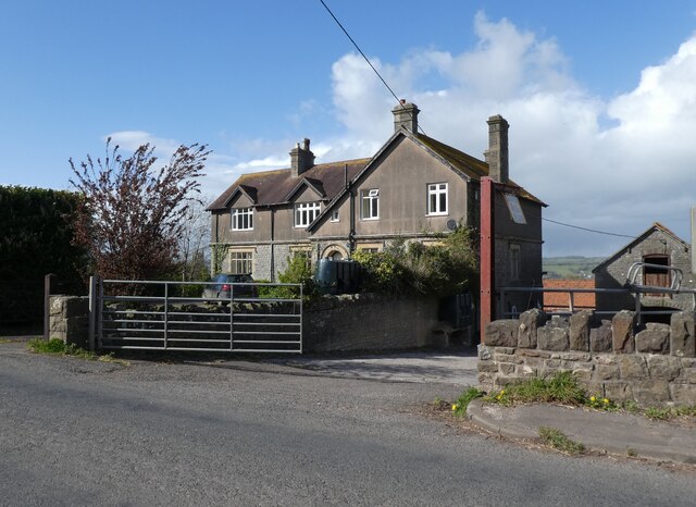
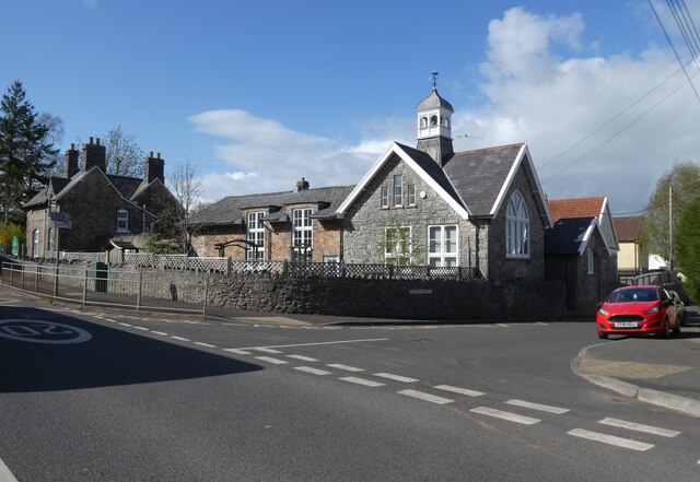
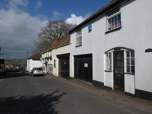
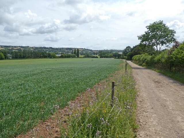
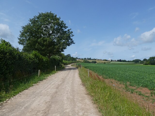
Rainbow Point Images
Images are sourced within 2km of 51.331316/-2.6948374 or Grid Reference ST5159. Thanks to Geograph Open Source API. All images are credited.
Rainbow Point is located at Grid Ref: ST5159 (Lat: 51.331316, Lng: -2.6948374)
Unitary Authority: North Somerset
Police Authority: Avon and Somerset
What 3 Words
///chained.besotted.suffix. Near Blagdon, Somerset
Nearby Locations
Related Wikis

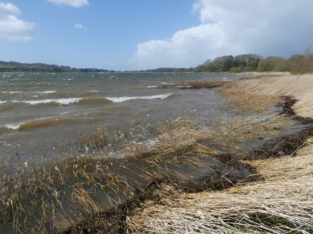
Blagdon Lake
Blagdon Lake lies in a valley at the northern edge of the Mendip Hills, close to the village of Blagdon and approximately 10 miles (16 km) south of Bristol...

Nempnett Thrubwell
Nempnett Thrubwell is a small village and civil parish in dairying country on the western edge of Bath and North East Somerset, in the county of Somerset...

Blagdon railway station
Blagdon railway station is a closed terminus railway station situated in the village of Blagdon in North Somerset, England. The station opened on the 4...

Church of St Andrew, Blagdon
The Anglican Church Of St Andrew in Blagdon, within the English county of Somerset, was built in the 15th century. It is a Grade II* listed building.The...

Blagdon
Blagdon is a village and civil parish in the ceremonial county of Somerset, within the unitary authority of North Somerset, in England. It is located in...

Church of St Bartholomew, Ubley
The Church of St Bartholomew in Ubley, Somerset, England is a small medieval church originating from the 13th century with later additions. It has been...

Ubley
Ubley is a small village and civil parish within the Chew Valley in Bath and North East Somerset about 9 miles (14.5 km) south of Bristol. It is just south...
Church of St Mary, Nempnett Thrubwell
The Anglican Church of St Mary stands on Knap Hill in Nempnett Thrubwell, Somerset, England dates from the 15th century, but was built on the site of an...
Nearby Amenities
Located within 500m of 51.331316,-2.6948374Have you been to Rainbow Point?
Leave your review of Rainbow Point below (or comments, questions and feedback).