Craig Head

Landscape Feature in Angus

Scotland

Craig Head

Cereal crop near Craichie Off Dunnichen Road (B9128).
Cereal crop near Craichie Credit: JThomas

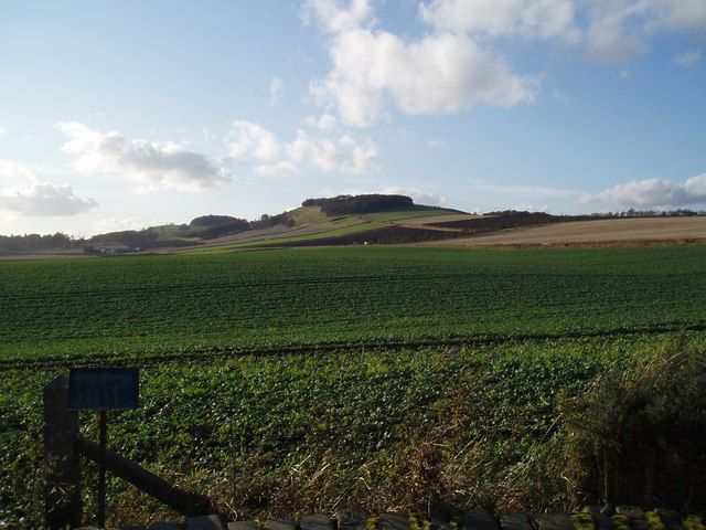
Craig Head is a prominent landscape feature located in the Angus region of Scotland. Standing at an impressive height of 1,134 feet (346 meters), it is one of the highest points in the area and offers breathtaking panoramic views of the surrounding countryside.

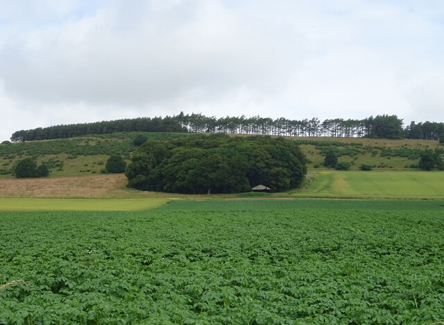
This natural landmark is characterized by its rugged terrain and rocky cliffs, which give it a distinctive appearance. The slopes of Craig Head are covered in heather and grasses, adding a touch of vibrant color to the landscape. The summit of the hill is relatively flat and provides an ideal spot for visitors to take in the stunning vistas.

At the top of Craig Head, there is a cairn, which is a small pile of stones traditionally used as a marker or memorial. This cairn serves as a landmark for hikers and is often used as a reference point for navigation in the area.

Craig Head is a popular destination for outdoor enthusiasts, including hikers, nature lovers, and photographers. Its elevated position offers unparalleled views of the Angus Glens, the surrounding hills, and even glimpses of the North Sea on a clear day. The hill is also home to a variety of wildlife, including birds of prey, deer, and smaller mammals.

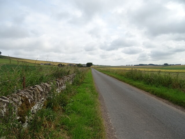
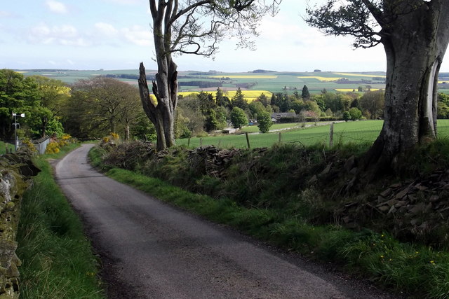
Accessible from several walking trails, Craig Head provides an excellent opportunity for visitors to explore the natural beauty of the Angus region. Whether it's a leisurely stroll or a more challenging hike, this landscape feature offers a rewarding experience for anyone seeking to immerse themselves in the scenic Scottish countryside.

If you have any feedback on the listing, please let us know in the comments section below.
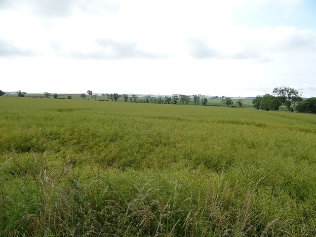
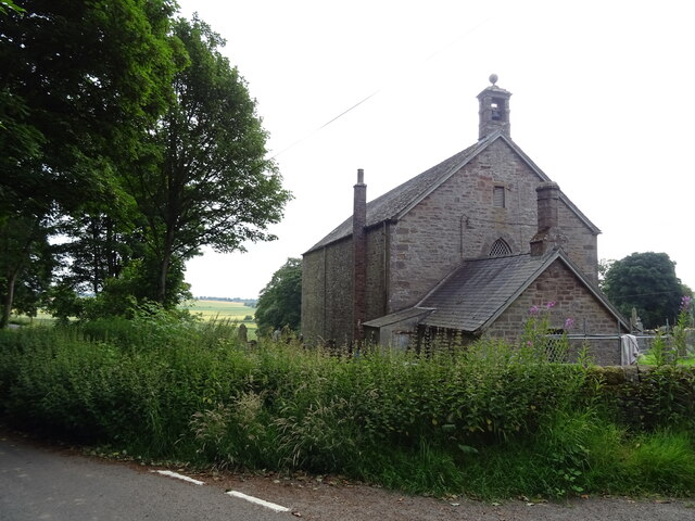
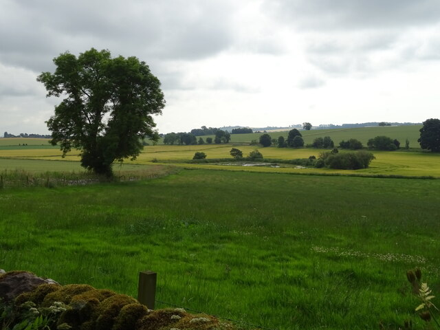
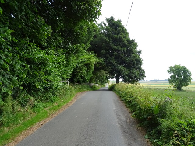
Craig Head Images

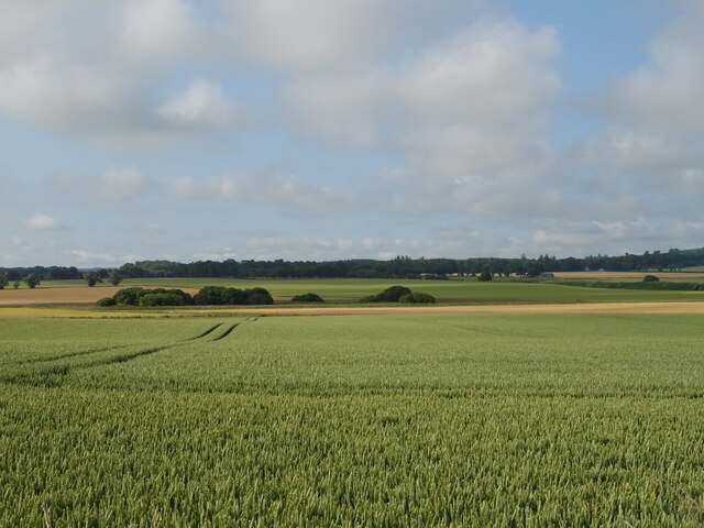
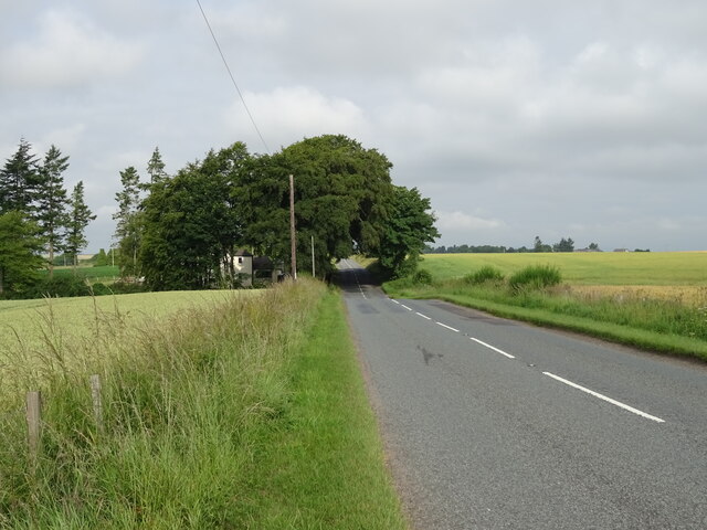
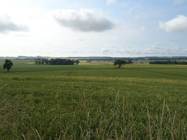
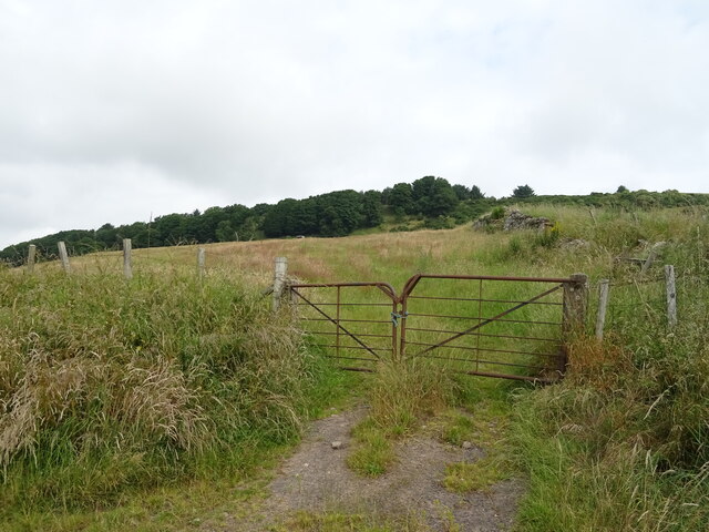
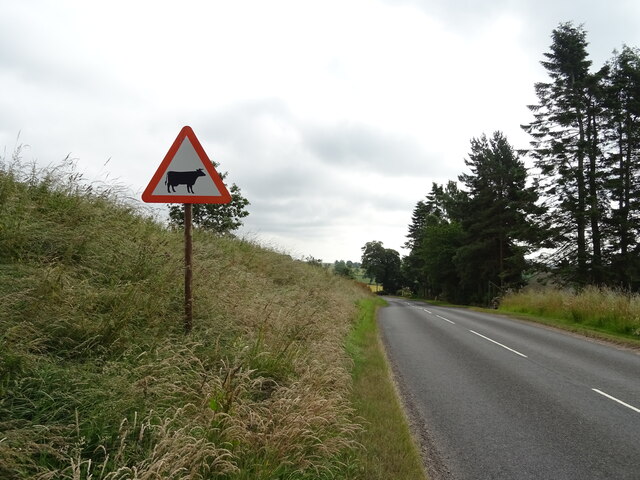
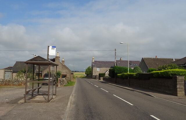
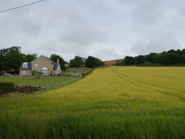
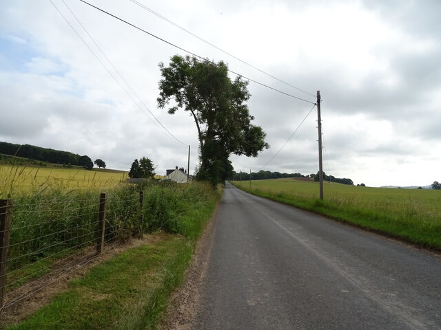
Images are sourced within 2km of 56.619291/-2.7966829 or Grid Reference NO5147. Thanks to Geograph Open Source API. All images are credited.

Cereal crop near Craichie Off Dunnichen Road (B9128).
Cereal crop near Craichie
Off Dunnichen Road (B9128).
Dunnichen Road (B9128) Towards Forfar.
Dunnichen Road (B9128)
Towards Forfar.
Ceeal crop, Downie
Ceeal crop, Downie
Field entrance, Downie Looking up Downie Hill.
Field entrance, Downie
Looking up Downie Hill.
Minor road, Downie Towards Dunnichen.
Minor road, Downie
Towards Dunnichen.
Bus stop and shelter on Dunnichen Road (B9128). Craichie
Cereal crop, West Mains of Dunnichen
Minor road, Dunnichen
Oilseed rape crop, Dunnichen Going to seed.
Oilseed rape crop, Dunnichen
Going to seed.
Dunnichen Parish Church
Grazing, Dunnichen
Grazing, Dunnichen
Minor road, Dunnichen  Towards East Mains of Dunnichen.
Minor road, Dunnichen
Towards East Mains of Dunnichen.
Potato crop, East Mains of Dunnichen  View towards Dunnichen Hill.
Potato crop, East Mains of Dunnichen
View towards Dunnichen Hill.
Minor road approaching East Mains of Dunnichen
Barn, East Mains of Dunnichen
Angus farmland from near Lownie Looking south over cereal stubble and potatoes still to be lifted.
Angus farmland from near Lownie
Looking south over cereal stubble and potatoes still to be lifted.
Nechtansmere and Dunnichen Hill In AD 685 the Battle of Nechtansmere took place near this site. The site is disputed and some historians assert that it took place much further north. Irrespective of this dispute the result of the battle brought to an end Northumbrian control in this part of Scotland.
Nechtansmere and Dunnichen Hill
In AD 685 the Battle of Nechtansmere took place near this site. The site is disputed and some historians assert that it took place much further north. Irrespective of this dispute the result of the battle brought to an end Northumbrian control in this part of Scotland.
View toward Tulloes from Dunnichen Hill near Letham, Angus I was intrigued by the greenery and patchwork effect of the oilseed rape crops.
View toward Tulloes from Dunnichen Hill near Letham, Angus
I was intrigued by the greenery and patchwork effect of the oilseed rape crops.
Show me another place!

Craig Head is located at Grid Ref: NO5147 (Lat: 56.619291, Lng: -2.7966829)

Unitary Authority: Angus

Police Authority: Tayside

What 3 Words

///fended.exonerate.image. Near Letham, Angus

Nearby Locations

Craig Head

Related Wikis

Bowriefauld

Bowriefauld is a village in Angus, Scotland.
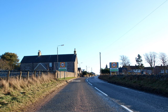
Craichie

Craichie (Scots pronunciation: [ˈkrexe]) is a hamlet in the parish of Dunnichen, Angus, Scotland. Craichie is three miles south-east of Forfar and two...

Dunnichen

Dunnichen (Scots pronunciation: [dəˈnɪxən]; Scottish Gaelic: Dùn Eachain) is a small village in Angus, Scotland, situated between Letham and Forfar. It...

Letham, Angus

Letham (Scots pronunciation: [ˈlɛθəm]) is a village in Angus, Scotland. Letham is the largest village in Angus, with a population of nearly 2,000. Situated...

Nearby Amenities

Located within 500m of 56.619291,-2.7966829
Bus Stop
The Shieling
Bench: no
Local Ref: OPP
Naptan AtcoCode: 6490IM401
Naptan Bearing: NE
Naptan BusStopType: CUS
Naptan CommonName: The Shieling
Naptan Indicator: opp
Naptan NaptanCode: 26423698
Naptan Street: Unclassified Road
Naptan Verified: no
Shelter: no
Source: naptan_import
Lat/Long: 56.6216842/-2.7904501
Bus Stop
The Shieling
Bench: no
Local Ref: at
Naptan AtcoCode: 6490IM409
Naptan Bearing: SW
Naptan BusStopType: CUS
Naptan CommonName: The Shieling
Naptan Indicator: at
Naptan Landmark: Bowriefauld
Naptan NaptanCode: 26426424
Naptan Street: Unclassified Road
Naptan Verified: no
Shelter: no
Source: naptan_import
Lat/Long: 56.6216358/-2.7904196
Post Box
Collection Times: Mo-Fr 14:30; Sa 11:30
Operator: Royal Mail
Operator Wikidata: Q638098
Post Box Type: lamp
Ref: DD8 18
Royal Cypher: scottish_crown
Lat/Long: 56.6217199/-2.7900918
Glassmonies
Name Pronunciation: ˈgɫaˑz.məˌnez
Place: isolated_dwelling
Lat/Long: 56.6210204/-2.804135
East Mains of Craichie
Old Name: New Craichie;East Craichie
Place: hamlet
Lat/Long: 56.6160973/-2.8004353
Information: guidepost
Tourism: information
Lat/Long: 56.6218429/-2.7900287
Information: guidepost
Tourism: information
Lat/Long: 56.6217396/-2.7899966
Bowriefauld
Traffic Sign: city_limit
Traffic Sign Direction: backward
Lat/Long: 56.6199374/-2.7933256
Craig Head
Ele: 125
Natural: hill
Place: locality
Lat/Long: 56.6192213/-2.7983201
Drum of Dunnichen
Loc Name: The Drummie
Place: isolated_dwelling
Lat/Long: 56.6194241/-2.7917799
Animal Breeding
Craichie Collies
Fixme: not sure of exact location, this is where the sign for it is.
Lat/Long: 56.6170021/-2.8015391
Street Lamp
Lat/Long: 56.6205501/-2.7926592
Street Lamp
Lat/Long: 56.6207693/-2.7923494
Street Lamp
Lat/Long: 56.6209515/-2.7920008
Street Lamp
Lat/Long: 56.62115/-2.7916293
Street Lamp
Lat/Long: 56.621499/-2.7909252
Street Lamp
Lat/Long: 56.6218768/-2.7902667
Street Lamp
Lat/Long: 56.6221424/-2.7905899
Street Lamp
Lat/Long: 56.6217358/-2.7900307
Pickerton
Locality: abandoned_place
Place: locality
Lat/Long: 56.6189122/-2.8014923
Power: pole
Lat/Long: 56.615965/-2.8002911
Power: pole
Lat/Long: 56.6163418/-2.7994935
Power: pole
Lat/Long: 56.6168313/-2.7985245
Power: pole
Lat/Long: 56.6173167/-2.7975523
Power: pole
Lat/Long: 56.6177619/-2.7966512
Power: pole
Lat/Long: 56.6182014/-2.7957417
Power: pole
Lat/Long: 56.61865/-2.7948302
Power: pole
Lat/Long: 56.6191009/-2.7939228
Power: pole
Lat/Long: 56.6195081/-2.7930573
Power: pole
Lat/Long: 56.6199613/-2.7920997
Power: pole
Lat/Long: 56.6204629/-2.7910126
Power: pole
Lat/Long: 56.6209667/-2.7899233
Power: pole
Lat/Long: 56.6180058/-2.7982506
Power: pole
Lat/Long: 56.6187098/-2.7989677
Power: pole
Lat/Long: 56.6193885/-2.799643
Power: pole
Lat/Long: 56.6197163/-2.8004939
Power: pole
Lat/Long: 56.6201753/-2.80174
Power: pole
Lat/Long: 56.6206239/-2.8029338
Power: pole
Lat/Long: 56.6210322/-2.8039561
The data included in this document is from www.openstreetmap.org. The data is made available under ODbL.

Have you been to Craig Head?

Leave your review of Craig Head below (or comments, questions and feedback).