Thwartergill Head
Landscape Feature in Roxburghshire
Scotland
Thwartergill Head
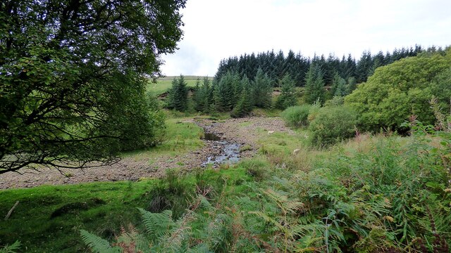
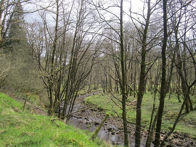
Thwartergill Head is a prominent landscape feature located in Roxburghshire, a historic county in the Scottish Borders region of Scotland. Situated in the southern part of the county, Thwartergill Head is a hill that forms part of the scenic landscape of the area.
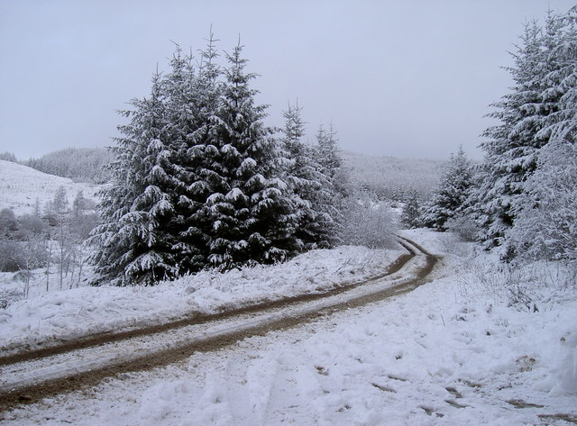
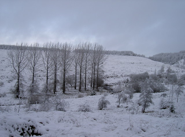
Standing at an elevation of approximately 450 meters (1,480 feet), Thwartergill Head offers breathtaking panoramic views of the surrounding countryside. The hill is characterized by its gently sloping sides, covered with lush green vegetation, and its distinct peak that provides a vantage point for visitors to appreciate the beauty of the region.
The hill is predominantly composed of sedimentary rock formations, with layers of sandstone and shale visible along its slopes. This geological composition gives Thwartergill Head its unique appearance and contributes to the diverse flora and fauna that can be found in the area.
Thwartergill Head is also known for its rich history. It is believed to have been used as a lookout point during ancient times, providing an advantageous position for observing the surrounding lands. The hill has also been associated with various local legends and folklore, adding to its allure and mystique.
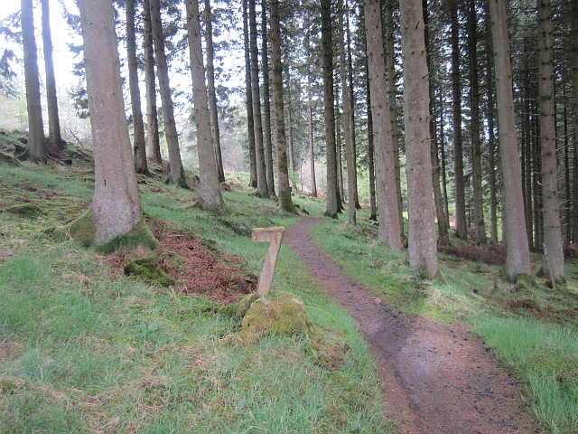
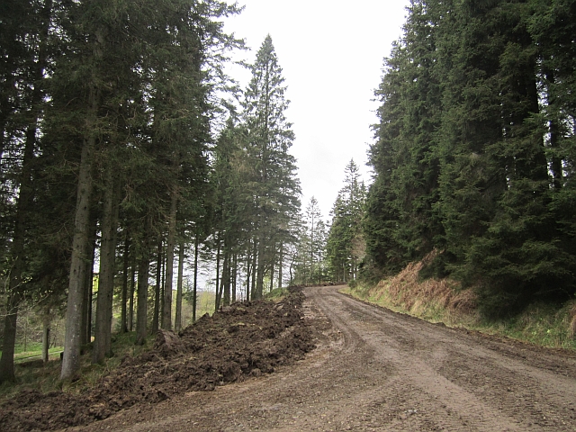
Today, Thwartergill Head attracts outdoor enthusiasts, hikers, and nature lovers who come to explore its trails and soak in the breathtaking scenery. With its picturesque views and historical significance, Thwartergill Head is a notable landscape feature that showcases the natural beauty and cultural heritage of Roxburghshire.
If you have any feedback on the listing, please let us know in the comments section below.
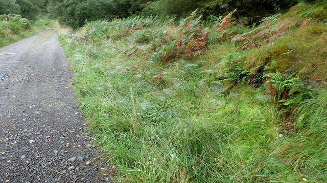
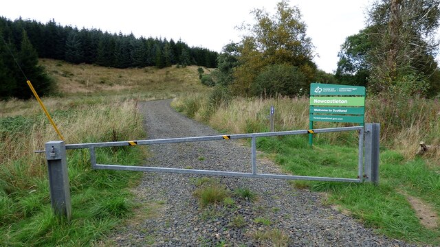
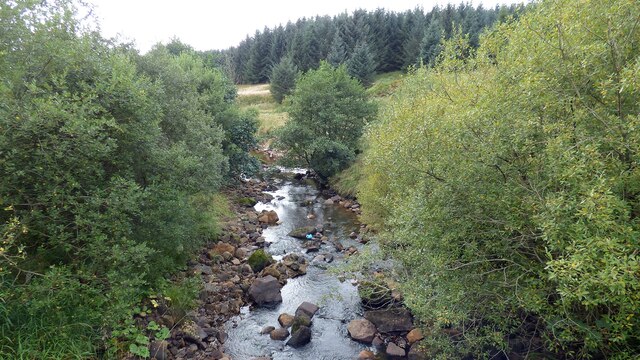
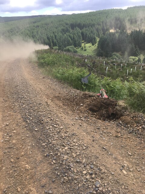
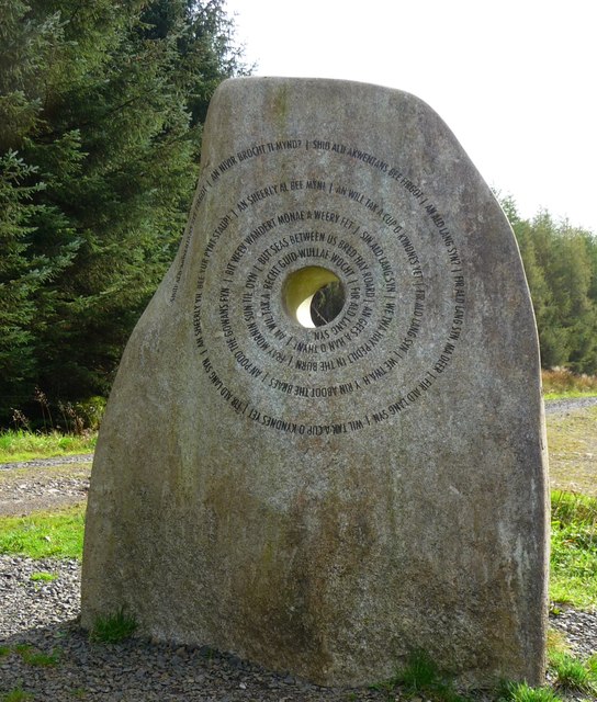
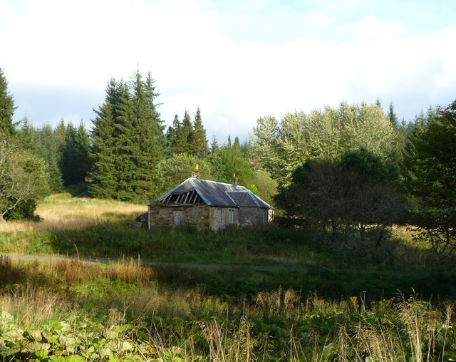
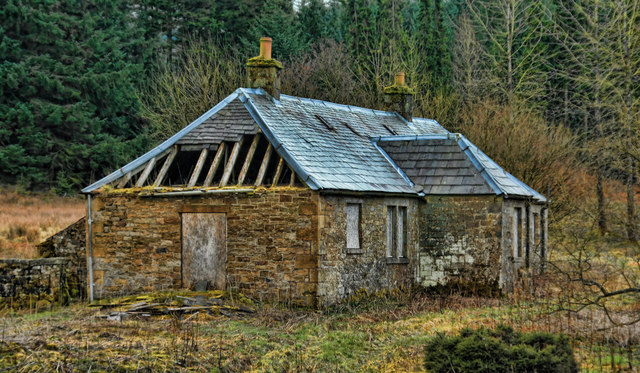
Thwartergill Head Images
Images are sourced within 2km of 55.162864/-2.7564404 or Grid Reference NY5185. Thanks to Geograph Open Source API. All images are credited.
Thwartergill Head is located at Grid Ref: NY5185 (Lat: 55.162864, Lng: -2.7564404)
Unitary Authority: The Scottish Borders
Police Authority: The Lothians and Scottish Borders
What 3 Words
///stilted.above.threaten. Near Langholm, Dumfries & Galloway
Nearby Locations
Related Wikis

Mangerton Tower
Mangerton Tower is a ruined Scottish tower castle house formerly belonging to the Armstrong family. Mangerton Tower is at Mangerton in Newcastleton or...

Castleton, Scottish Borders
Castleton (Scottish Gaelic: Baile Chaisteil) is a civil parish in the Scottish Borders area of Scotland, in the former Roxburghshire, in the extreme south...

Newcastleton railway station
Newcastleton railway station served the village of Newcastleton, Scottish Borders, Scotland from 1862 to 1969 on the Border Union Railway. == History... ==

Newcastleton
Newcastleton, also called Copshaw Holm, is a village in Liddesdale, the Scottish Borders, a few miles from the border with England, on the Liddel Water...

Liddel Castle
Liddel Castle is a ruined castle in Liddesdale, by the Liddel Water, near Castleton in the Scottish Borders area of Scotland, in the former county of Roxburghshire...

Ettleton
Ettleton is a village near Castleton, in the Scottish Borders area of Scotland, in the former Roxburghshire. == Etymology and history == Ettleton Parish...

Kershopefoot
Kershopefoot is a small hamlet in Cumbria, England, traditionally in Cumberland. It is located very close to the Scotland-England border and is near the...

Kershope Burn
Kershope Burn is a small river; a tributary of both the Liddel Water and the River Esk; its final destination is the Solway Firth. The early stages begin...
Have you been to Thwartergill Head?
Leave your review of Thwartergill Head below (or comments, questions and feedback).