Blaemount Rig

Hill, Mountain in Roxburghshire

Scotland

Blaemount Rig

Kershope Burn at Day Holm Views from the forest track are few and far between which may explain why most of the photographs in this grid square are taken here.
Kershope Burn at Day Holm Credit: Sandy Gerrard

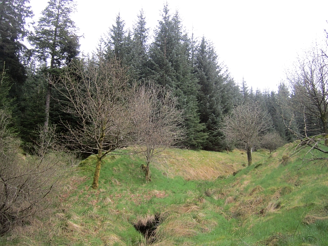
Blaemount Rig is a prominent hill located in Roxburghshire, a historic county in the Scottish Borders region of Scotland. Standing at an elevation of approximately 460 meters (1,509 feet), it is part of the Southern Uplands range. Blaemount Rig is situated near the village of Heriot, about 20 kilometers (12 miles) southeast of the town of Peebles.

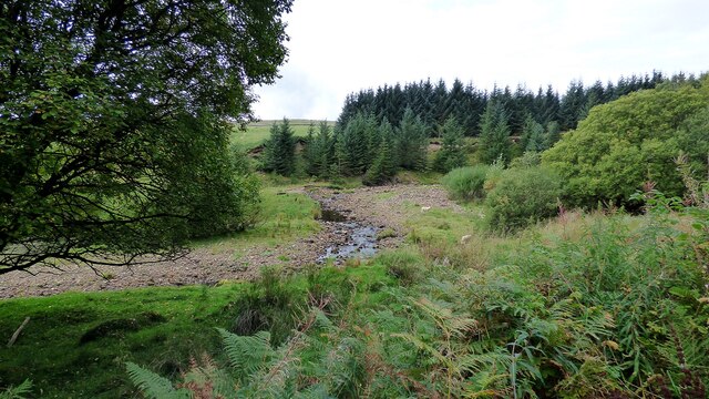
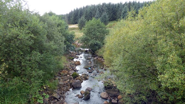
The hill offers breathtaking panoramic views of the surrounding countryside, with its summit providing a vantage point to admire the rolling hills, verdant valleys, and distant mountain ranges. Its location within the picturesque Scottish Borders makes it a popular destination for hikers, nature enthusiasts, and photographers.

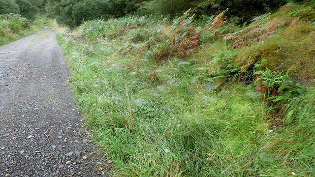
The ascent to Blaemount Rig is relatively moderate, with various paths and trails leading to the summit. The hill is characterized by its heather-clad slopes and grassy patches, providing a diverse habitat for a range of flora and fauna. Visitors may encounter a variety of wildlife, including red grouse, mountain hares, and birds of prey such as buzzards and kestrels.

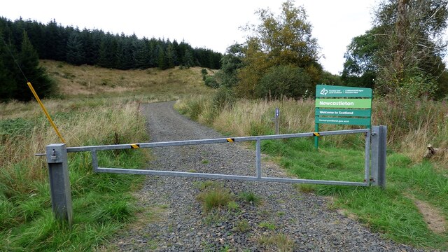
The hill's proximity to Heriot and other nearby villages makes it easily accessible, and it is often included in local walking routes and trails. Its tranquil and serene environment offers a peaceful retreat for those seeking solitude or a refreshing escape from the bustle of urban life.

Overall, Blaemount Rig is a natural gem in Roxburghshire, offering stunning vistas, diverse landscapes, and a peaceful setting for outdoor enthusiasts to explore and enjoy.

If you have any feedback on the listing, please let us know in the comments section below.

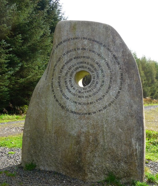
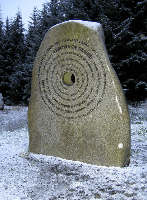
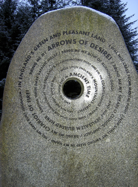
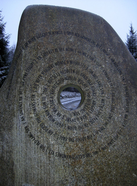
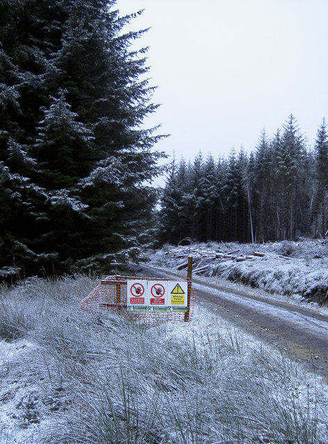
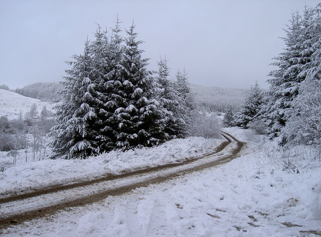
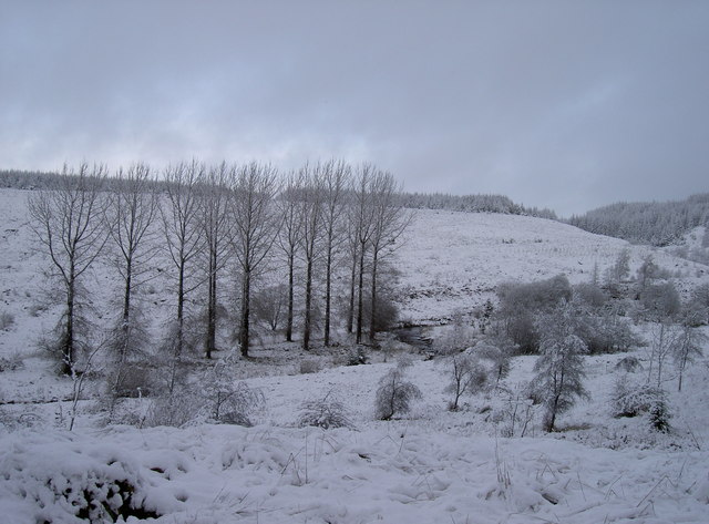
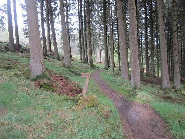
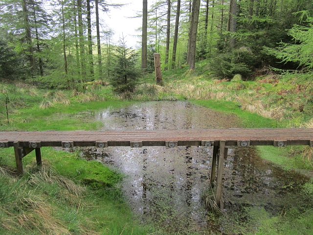
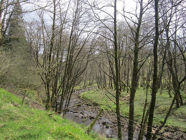
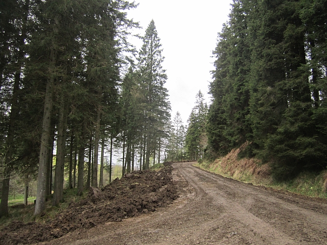
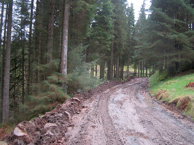
Blaemount Rig Images

Images are sourced within 2km of 55.159713/-2.7645893 or Grid Reference NY5185. Thanks to Geograph Open Source API. All images are credited.

Kershope Burn at Day Holm Views from the forest track are few and far between which may explain why most of the photographs in this grid square are taken here.
Kershope Burn at Day Holm
Views from the forest track are few and far between which may explain why most of the photographs in this grid square are taken here.
Spider webs beside the forest track at Day Holm
Welcome to Scotland Forest gate across the track leading into Scotland.
Welcome to Scotland
Forest gate across the track leading into Scotland.
Kershope Burn This river denotes the boundary between Scotland and England in this area.
Kershope Burn
This river denotes the boundary between Scotland and England in this area.
The Border Stone This modern sculpture, about 8 feet high, has the words of 'Auld Lang Syne' in Broad Scots inscribed in circular form on the 'Scottish' side of the stone and 'Jerusalem' representing England on the other. However, to describe it as the 'Border' stone is wrong since it is an incursion into Scotland located nearly one mile within Scotland!
The Border Stone
This modern sculpture, about 8 feet high, has the words of 'Auld Lang Syne' in Broad Scots inscribed in circular form on the 'Scottish' side of the stone and 'Jerusalem' representing England on the other. However, to describe it as the 'Border' stone is wrong since it is an incursion into Scotland located nearly one mile within Scotland!
Songs in the middle of a forest The Border Stane, so-called as it represents the division between England and Scotland. The actual border appears to be over 1km away, however it is one of the Seven Stanes cycle route. See <a href="https://www.geograph.org.uk/photo/2730039">NY5186 : This side - Jerusalem</a> for a closer look.
Songs in the middle of a forest
The Border Stane, so-called as it represents the division between England and Scotland. The actual border appears to be over 1km away, however it is one of the Seven Stanes cycle route. See NY5186 : This side - Jerusalem for a closer look.
This side - Jerusalem The 'English' side of the Border Stane, appropriately inscribed. See <a href="https://www.geograph.org.uk/photo/2730056">NY5186 : Looking at England through a hole</a> for the 'Scottish' side.
This side - Jerusalem
The 'English' side of the Border Stane, appropriately inscribed. See NY5186 : Looking at England through a hole for the 'Scottish' side.
Looking at England through a hole The Border Stane, as seen from the Scottish perspective. The words to Auld Lang Syne spiral around the hole, where people may shake hands across two countries. See <a href="https://www.geograph.org.uk/photo/2730033">NY5186 : Songs in the middle of a forest</a> for the opposite side, or <a href="https://www.geograph.org.uk/photo/828910">NY5186 : Newcastleton Forest - The Border Stane</a> for a broad view by Andy Connor.
Looking at England through a hole
The Border Stane, as seen from the Scottish perspective. The words to Auld Lang Syne spiral around the hole, where people may shake hands across two countries. See NY5186 : Songs in the middle of a forest for the opposite side, or NY5186 : Newcastleton Forest - The Border Stane for a broad view by Andy Connor.
Warning signs But no warning of the fact that the track is part of a popular mountain bike route. Not to worry, the weather may have reduced the numbers likely to appear. Near the Border Stane - <a href="https://www.geograph.org.uk/photo/2730033">NY5186 : Songs in the middle of a forest</a>.
Warning signs
But no warning of the fact that the track is part of a popular mountain bike route. Not to worry, the weather may have reduced the numbers likely to appear. Near the Border Stane - NY5186 : Songs in the middle of a forest.
Snowy track A sudden snowy downpour in the morning has brought some seasonal sparkle to the English side of the border.
Snowy track
A sudden snowy downpour in the morning has brought some seasonal sparkle to the English side of the border.
Winter across the border Snow has carpeted the Kershope Burn, the border between England and Scotland.
Winter across the border
Snow has carpeted the Kershope Burn, the border between England and Scotland.
Hidden Valley, Newcastleton The top of the first bit of singletrack on the red route at Newcastleton.
Hidden Valley, Newcastleton
The top of the first bit of singletrack on the red route at Newcastleton.
Obstacle, Hidden Valley An optional crossing of a pond on the Hidden Valley singletrack at Newcastleton.
Obstacle, Hidden Valley
An optional crossing of a pond on the Hidden Valley singletrack at Newcastleton.
Tweeden Burn At the foot of Hillhouse Wood, Newcastleton Forest.
Tweeden Burn
At the foot of Hillhouse Wood, Newcastleton Forest.
Logging road, Newcastleton Forest The road is being regraded prior to a new surface being added. This made things very muddy.
Logging road, Newcastleton Forest
The road is being regraded prior to a new surface being added. This made things very muddy.
Clart track The road is being regraded prior to a new surface being added. This made for an unpleasantly sticky climb to the Border Stane. The grader was at work a short distance downhill.
Clart track
The road is being regraded prior to a new surface being added. This made for an unpleasantly sticky climb to the Border Stane. The grader was at work a short distance downhill.
Newstell Syke A small burn runs through a gap in the conifers towards the Tweeden Burn. This hillside was one of the first to be planted with conifers at Newcastleton.
Newstell Syke
A small burn runs through a gap in the conifers towards the Tweeden Burn. This hillside was one of the first to be planted with conifers at Newcastleton.
Logging road, Newcastleton Forest This was one of the first bits of Newcastleton to be planted with conifers and it is probable that the large trees on the right belong to that generation.
Logging road, Newcastleton Forest
This was one of the first bits of Newcastleton to be planted with conifers and it is probable that the large trees on the right belong to that generation.
Show me another place!

Blaemount Rig is located at Grid Ref: NY5185 (Lat: 55.159713, Lng: -2.7645893)

Unitary Authority: The Scottish Borders

Police Authority: The Lothians and Scottish Borders

What 3 Words

///youthful.goofy.leave. Near Langholm, Dumfries & Galloway

Related Wikis

Mangerton Tower

Mangerton Tower is a ruined Scottish tower castle house formerly belonging to the Armstrong family. Mangerton Tower is at Mangerton in Newcastleton or...

Castleton, Scottish Borders

Castleton (Scottish Gaelic: Baile Chaisteil) is a civil parish in the Scottish Borders area of Scotland, in the former Roxburghshire, in the extreme south...

Newcastleton railway station

Newcastleton railway station served the village of Newcastleton, Scottish Borders, Scotland from 1862 to 1969 on the Border Union Railway. == History... ==

Newcastleton

Newcastleton, also called Copshaw Holm, is a village in Liddesdale, the Scottish Borders, a few miles from the border with England, on the Liddel Water...

Ettleton

Ettleton is a village near Castleton, in the Scottish Borders area of Scotland, in the former Roxburghshire. == Etymology and history == Ettleton Parish...

Kershopefoot

Kershopefoot is a small hamlet in Cumbria, England, traditionally in Cumberland. It is located very close to the Scotland-England border and is near the...

Kershope Burn

Kershope Burn is a small river; a tributary of both the Liddel Water and the River Esk; its final destination is the Solway Firth. The early stages begin...

Penton railway station

Penton railway station served the parish of Penton from 1862 to 1969 on the Border Union Railway. == History == The station opened on 1 March 1862 by the...

Nearby Amenities

Located within 500m of 55.159713,-2.7645893
The data included in this document is from www.openstreetmap.org. The data is made available under ODbL.

Have you been to Blaemount Rig?

Leave your review of Blaemount Rig below (or comments, questions and feedback).