Higging Head
Landscape Feature in Westmorland South Lakeland
England
Higging Head

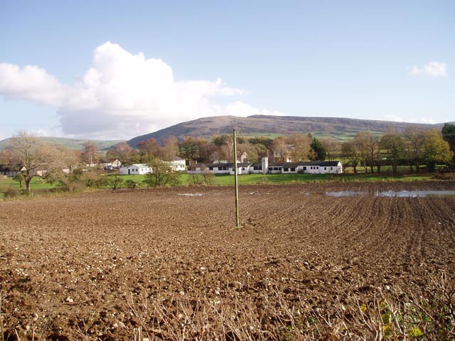
Higging Head is a prominent landscape feature located in Westmorland, a historic county in the northwest of England. This distinctive hill rises to an elevation of 326 meters (1,070 feet) above sea level, offering breathtaking panoramic views of the surrounding countryside.
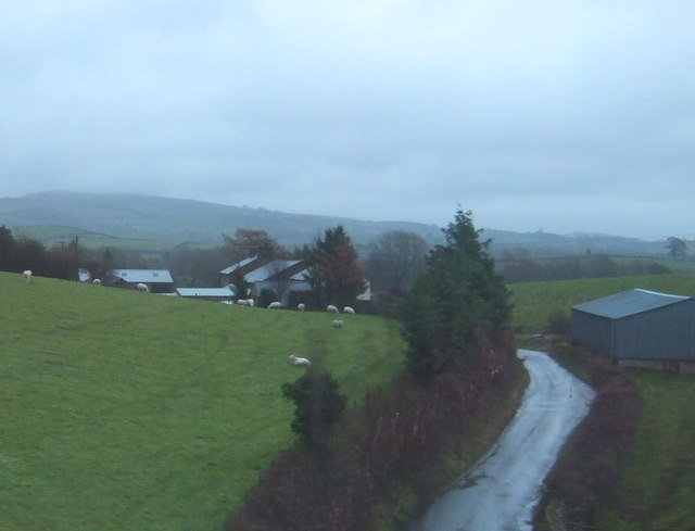
Situated in the heart of the Lake District National Park, Higging Head is characterized by its rugged and undulating terrain. The hill is covered in a mix of heather and grasses, which provide a rich tapestry of colors throughout the seasons. Its slopes are dotted with ancient stone walls and scattered trees, adding to the picturesque charm of the area.
The summit of Higging Head offers a commanding view of the surrounding landscape, including the nearby Lake Windermere, the largest natural lake in England. On a clear day, visitors can also catch glimpses of the fells and mountains that make the Lake District a popular destination for hikers and nature enthusiasts.
Higging Head is a haven for wildlife, with various species of birds, small mammals, and insects calling it home. Birdwatchers can often spot kestrels, buzzards, and peregrine falcons soaring overhead, while sheep and cows graze peacefully on the lower slopes.
For outdoor enthusiasts, Higging Head provides an excellent setting for activities such as hiking, mountain biking, and nature walks. Several well-marked trails crisscross the hill, offering varying degrees of difficulty and stunning vistas along the way.
Overall, Higging Head is a cherished landscape feature in Westmorland, offering both locals and visitors a chance to immerse themselves in the natural beauty of the Lake District.
If you have any feedback on the listing, please let us know in the comments section below.
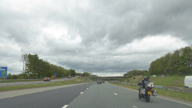
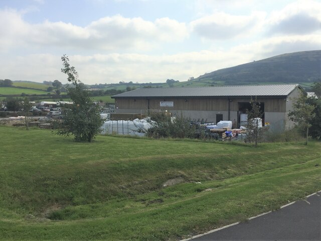
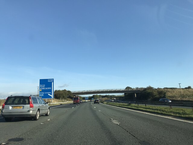
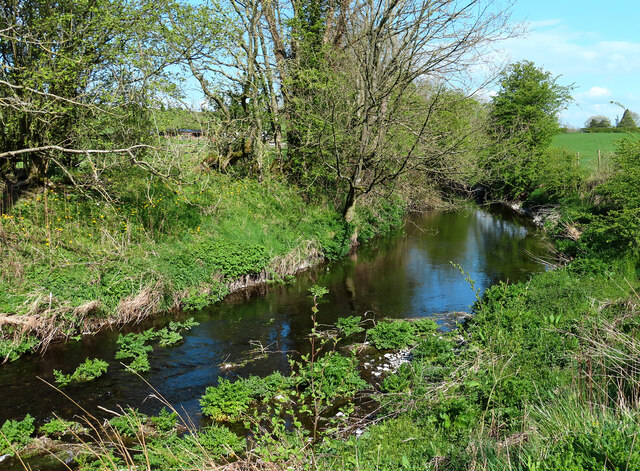
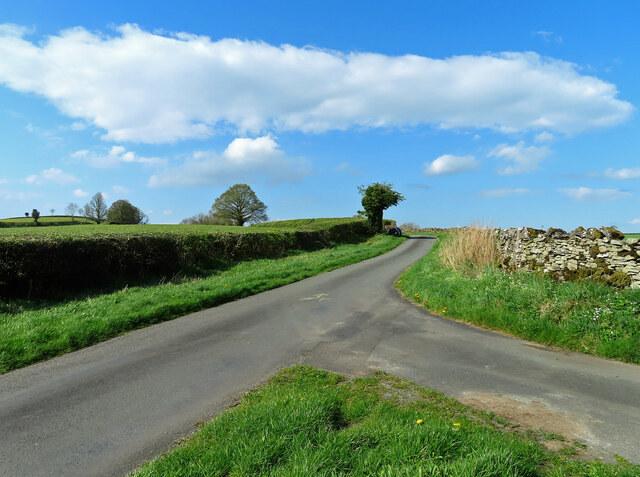
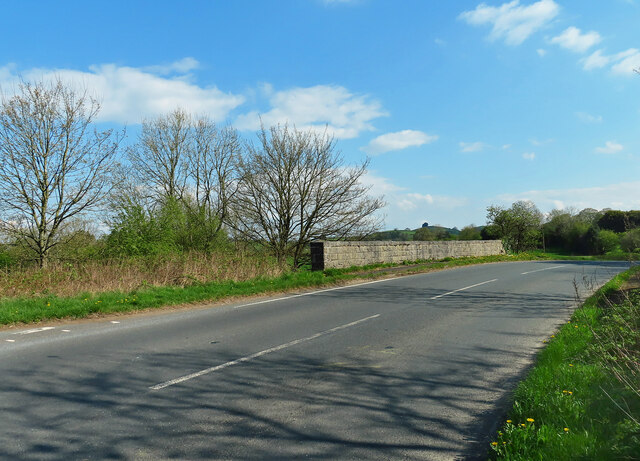
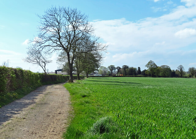
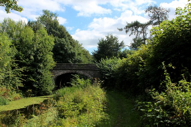
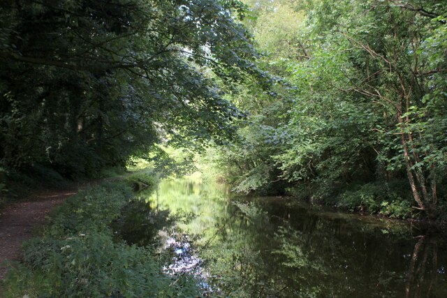
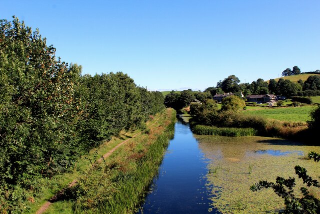
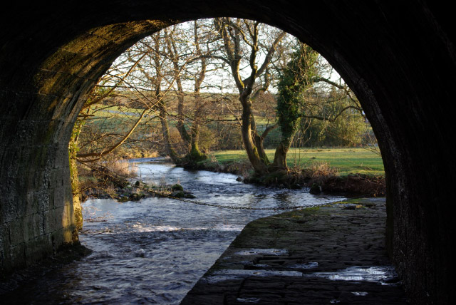
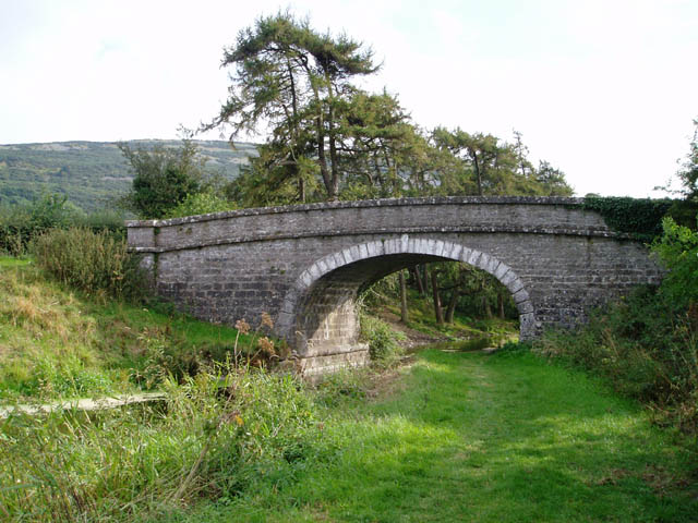
Higging Head Images
Images are sourced within 2km of 54.225939/-2.7315808 or Grid Reference SD5281. Thanks to Geograph Open Source API. All images are credited.


Higging Head is located at Grid Ref: SD5281 (Lat: 54.225939, Lng: -2.7315808)
Administrative County: Cumbria
District: South Lakeland
Police Authority: Cumbria
What 3 Words
///releases.itself.galloping. Near Milnthorpe, Cumbria
Nearby Locations
Related Wikis

Peasey Beck
Peasey Beck is a 19.6-kilometre-long (12.2 mi) beck flowing through Cumbria, England. It rises on Lambrigg Fell where it is known as the Sparishaw Beck...
Stainton Beck
Stainton Beck is a watercourse in Cumbria, England. Its upper reaches are known as St. Sunday's Beck. == Course == The source of the stream is close to...
Farleton, Cumbria
Farleton is a village and former civil parish, now in the parish of Beetham, in the South Lakeland local government district, Cumbria, England. In 1931...

Milnthorpe railway station
Milnthorpe railway station served the village of Milnthorpe, in the historical county of Westmorland, England, from 1846 to 1968 on the Lancaster and Carlisle...
Whasset
Whasset or Whassett is a hamlet near Milnthorpe in South Lakeland, Cumbria, England. It is in the historic county of Westmorland. It is in the parish of...

Ackenthwaite
Ackenthwaite is a hamlet in Cumbria, England. In the past (14th century) the spelling for the name of this place was Astenthwhate.Ackenthwaite has a postbox...
Deepthwaite
Deepthwaite is a hamlet in Cumbria, England. == References ==
Westmorland County Agricultural Society
The Westmorland County Agricultural Society (WCAS, established 1799) is a registered charity which supports agriculture and related activities in and around...
Nearby Amenities
Located within 500m of 54.225939,-2.7315808Have you been to Higging Head?
Leave your review of Higging Head below (or comments, questions and feedback).