Hill Close Coppice
Wood, Forest in Dorset
England
Hill Close Coppice
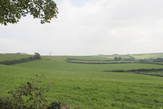
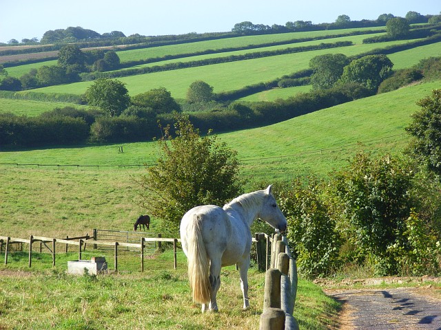
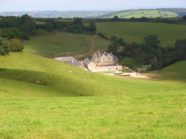
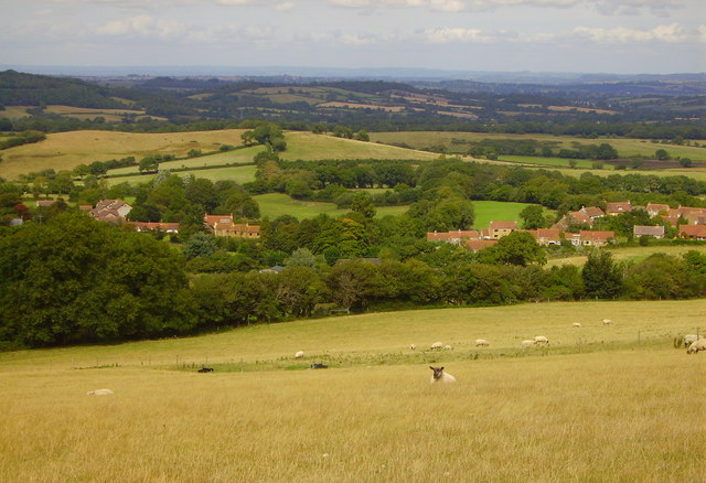
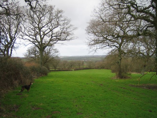
Hill Close Coppice is a picturesque woodland located in the beautiful county of Dorset, England. Covering an area of approximately 50 acres, this enchanting forest is a haven for nature enthusiasts and a popular destination for outdoor activities.
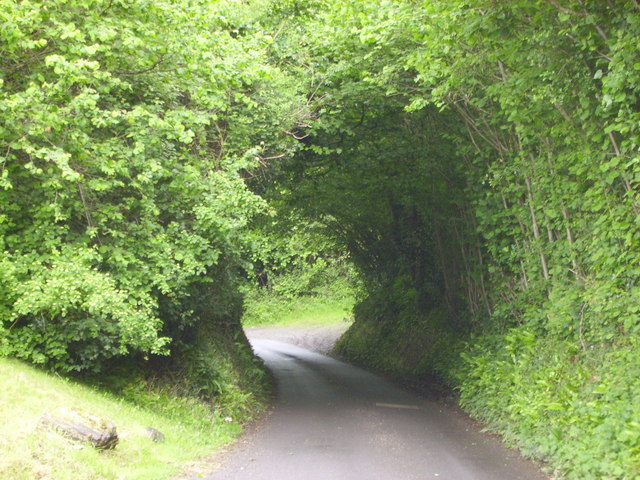
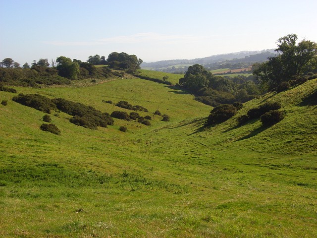
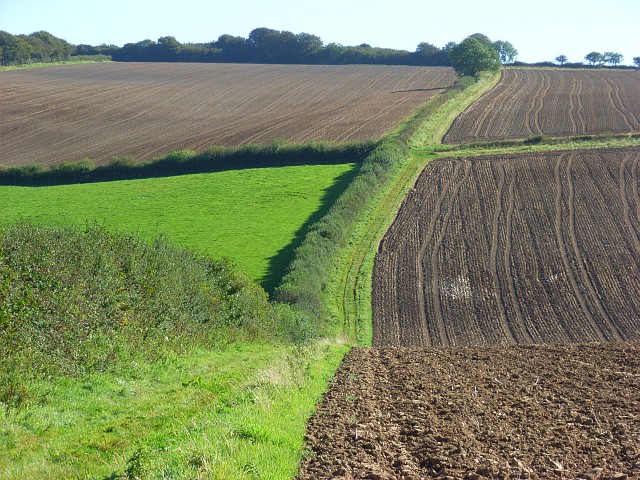
The woodland is characterized by a diverse range of tree species, including oak, beech, and ash trees, which create a lush and vibrant canopy. The forest floor is adorned with a rich carpet of ferns, bluebells, and wildflowers, providing a stunning display of colors throughout the year.
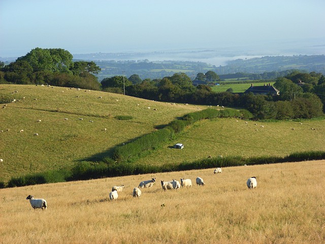
Hill Close Coppice offers a variety of walking trails, allowing visitors to explore the woodland at their own pace. The trails are well-maintained and clearly marked, making it easy for hikers of all levels to navigate through the forest. Birdwatchers will be delighted by the numerous species that call this woodland home, including woodpeckers, thrushes, and owls.
For those seeking a more immersive experience, the forest also offers camping facilities. With designated camping areas and basic amenities, visitors can spend the night under the stars, surrounded by the peaceful sounds of nature.
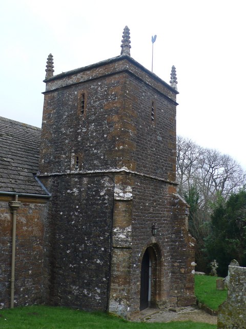
Hill Close Coppice is not only a natural retreat but also an important historical site. The woodland has a rich cultural heritage, with evidence of ancient settlements and archaeological finds dating back centuries. This makes it a fascinating destination for history enthusiasts and researchers alike.
In conclusion, Hill Close Coppice is a captivating woodland that offers a blend of natural beauty and historical significance. Whether you are looking for a leisurely stroll, a camping adventure, or an exploration of the area's history, this forest in Dorset has something to offer for everyone.
If you have any feedback on the listing, please let us know in the comments section below.
Hill Close Coppice Images
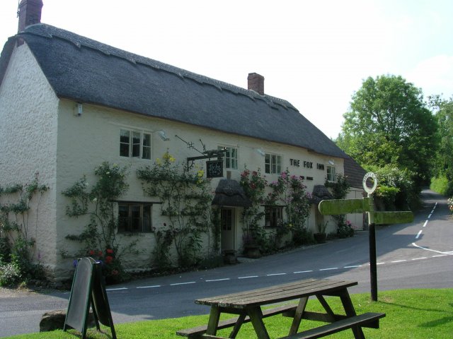
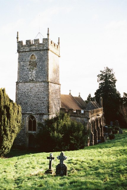
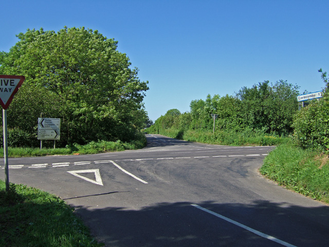
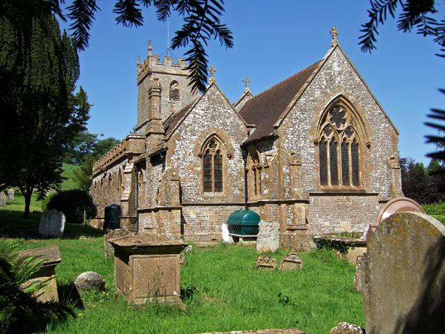
Images are sourced within 2km of 50.839436/-2.6956558 or Grid Reference ST5104. Thanks to Geograph Open Source API. All images are credited.


Hill Close Coppice is located at Grid Ref: ST5104 (Lat: 50.839436, Lng: -2.6956558)
Unitary Authority: Dorset
Police Authority: Dorset
What 3 Words
///stilted.rivers.craziest. Near Beaminster, Dorset
Nearby Locations
Related Wikis

Weston Hill
Weston Hill is a hill, 250 metres (820 ft) high, on the A 356, 1 kilometre west of Corscombe in the county of Dorset in southern England. It is located...
Corscombe
Corscombe is a village and civil parish in the English county of Dorset, in the Dorset Council administrative area. The parish includes the small settlements...

Toller Down
Toller Down is one of the highest hills in the county of Dorset, England. It stands 252 metres (827 feet) high and is just 200 metres west of the main...

Beaminster Down
At 244 metres, Beaminster Down is one of the highest hills in West Dorset, England. == Location == Beaminster Down is common land on the Dorset Downs and...

Chedington
Chedington is a small village and civil parish in west Dorset, England, situated near the A356 road 4 miles (6.4 km) southeast of Crewkerne in Somerset...
West Chelborough
West Chelborough is a village and civil parish 13 miles (21 km) northwest of Dorchester, in the Dorset district, in the county of Dorset, England. In 2001...

Toller Whelme
Toller Whelme is a small hamlet in Dorset, England, situated in the civil parish of Corscombe approximately 2.3 miles (3.7 km) east of Beaminster, 6 miles...
Whitevine Meadows
Whitevine Meadows (grid reference ST505085) is a 13.0 hectare (32.0 acre) biological Site of Special Scientific Interest east of North and South Perrott...
Nearby Amenities
Located within 500m of 50.839436,-2.6956558Have you been to Hill Close Coppice?
Leave your review of Hill Close Coppice below (or comments, questions and feedback).