Castlerigg Plantation

Wood, Forest in Cumberland Eden

England

Castlerigg Plantation

Rural road through forestry NW of Crag Nook Ordnance Survey documents indicate that a benchmark levelled at 151.197m above Newlyn Datum was verified in 1972 on the side of the road here
Rural road through forestry NW of Crag Nook Credit: Roger Templeman

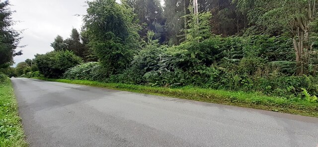
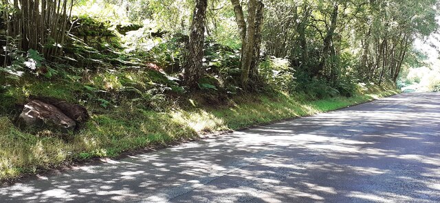
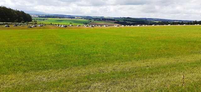
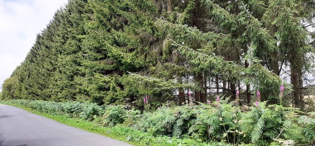
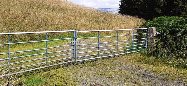
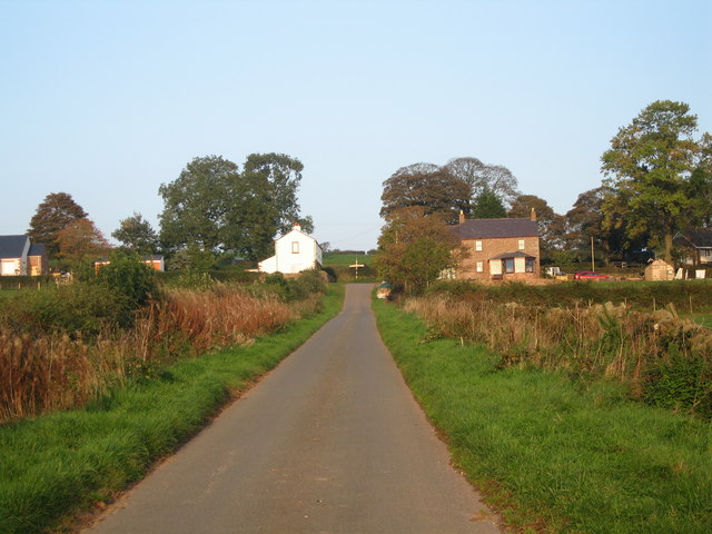
Castlerigg Plantation, located in Cumberland, England, is a picturesque woodland area renowned for its natural beauty and historical significance. Covering an expansive area, the plantation is a mixture of ancient woodland, coniferous trees, and open grassland, making it a diverse and thriving ecosystem.

The woodland of Castlerigg Plantation is home to a rich variety of plant and animal species. Ancient oak trees dominate the landscape, providing shelter and food for numerous bird species, including woodpeckers, owls, and songbirds. The forest floor is adorned with a carpet of bluebells and wildflowers during the spring, creating a vibrant and enchanting scene.

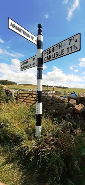
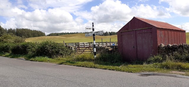
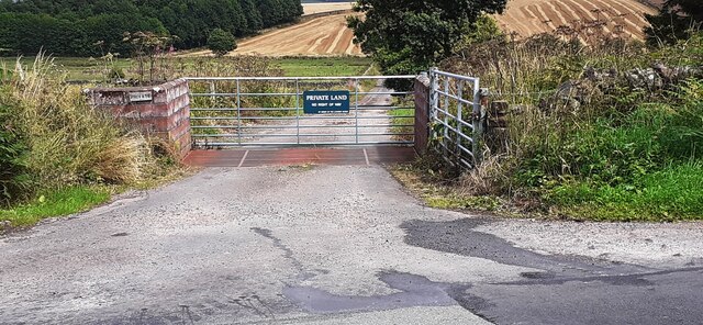
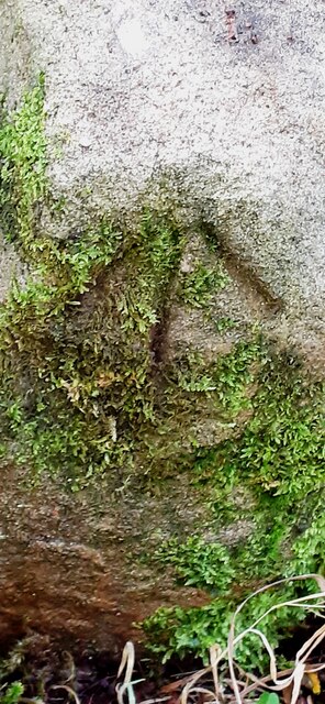
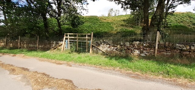
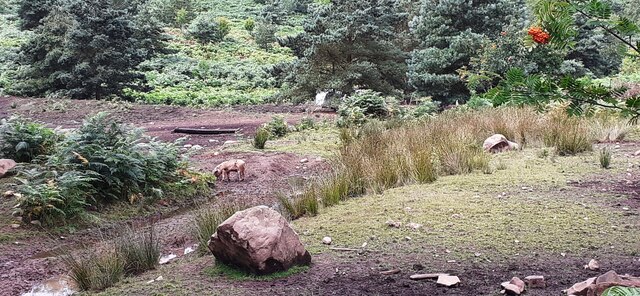
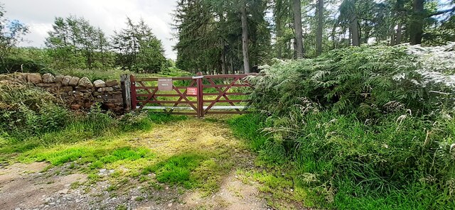
Historically, Castlerigg Plantation holds great significance as it is believed to have been part of the hunting grounds for the nearby 12th-century Carlisle Castle. The remains of old stone walls and earthworks can still be seen, attesting to the area's historical use and importance. Additionally, the plantation has a network of walking trails that provide visitors with the opportunity to explore the area and appreciate its natural and cultural heritage.

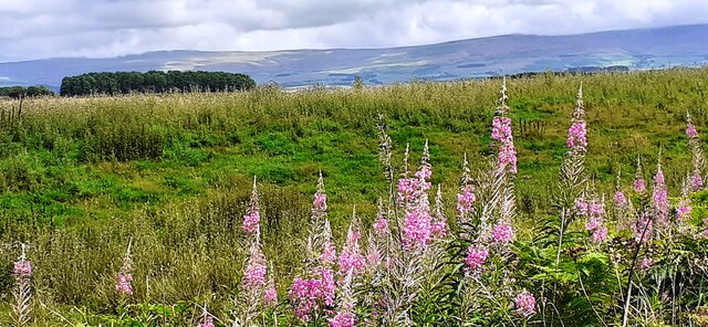
The plantation's location in Cumberland offers stunning views of the surrounding countryside, with rolling hills and valleys stretching into the distance. Visitors can enjoy peaceful walks, picnics, and even spot wildlife such as deer and rabbits. Castlerigg Plantation is a popular destination for nature lovers, photographers, and those seeking a tranquil escape in the heart of the English countryside.

If you have any feedback on the listing, please let us know in the comments section below.

Castlerigg Plantation Images

Images are sourced within 2km of 54.766314/-2.761333 or Grid Reference NY5141. Thanks to Geograph Open Source API. All images are credited.

Rural road through forestry NW of Crag Nook Ordnance Survey documents indicate that a benchmark levelled at 151.197m above Newlyn Datum was verified in 1972 on the side of the road here
Rural road through forestry NW of Crag Nook
Ordnance Survey documents indicate that a benchmark levelled at 151.197m above Newlyn Datum was verified in 1972 on the side of the road here
Cumberland County Council finger signpost at T-junction south of Low Plains The signpost has Milestone Society National ID:  CU_NY5040
Cumberland County Council finger signpost at T-junction south of Low Plains
The signpost has Milestone Society National ID: CU_NY5040
Signpost and shed on south side of rural road near Castlerigg Farm There is a close-up of the Cumberland County Council signpost at <a href="https://www.geograph.org.uk/photo/7245275">NY5040 : Cumberland County Council finger signpost at T-junction south of Low Plains</a>
Signpost and shed on south side of rural road near Castlerigg Farm
There is a close-up of the Cumberland County Council signpost at NY5040 : Cumberland County Council finger signpost at T-junction south of Low Plains
Entrance gateway for access to farmland of Lazonby Estate from NW side of road Ordnance Survey records indicate that a benchmark levelled at 153.568m above Newlyn Datum was verified in 1974 on a gatepost closer to the public road than the present gateway
Entrance gateway for access to farmland of Lazonby Estate from NW side of road
Ordnance Survey records indicate that a benchmark levelled at 153.568m above Newlyn Datum was verified in 1974 on a gatepost closer to the public road than the present gateway
Benchmark on rock on south side of road at Bleaberry Hill Ordnance Survey pivot benchmark levelled at 166.819m above Newlyn Datum verified 1974
Benchmark on rock on south side of road at Bleaberry Hill
Ordnance Survey pivot benchmark levelled at 166.819m above Newlyn Datum verified 1974
Rural road passing through woodland at Bleaberry Hill There is an Ordnance Survey benchmark <a href="https://www.geograph.org.uk/photo/7245601">NY5141 : Benchmark on rock on south side of road at Bleaberry Hill</a> on the rock in the roadside verge near the left hand edge of the image
Rural road passing through woodland at Bleaberry Hill
There is an Ordnance Survey benchmark NY5141 : Benchmark on rock on south side of road at Bleaberry Hill on the rock in the roadside verge near the left hand edge of the image
Gate into Castlerigg Plantation from road to Castlerigg Farm
Field with pig shelters viewed from road to Castlerigg Farm
Woodland strip on NE side of rural road NW of Crag Nook
Pigs in rough field on SW side of road near Bleaberry Hill
Field on NE side of rural road at Baronwood Park
Gateway into Lazonby Fell Plantation at Bleaberry Hill (Brackenburgh Estate) Ordnance Survey records indicate that a benchmark levelled at 152.653m above Newlyn Datum was verified in 1974 on a stone in the wall on the left hand side of the gateway
Gateway into Lazonby Fell Plantation at Bleaberry Hill (Brackenburgh Estate)
Ordnance Survey records indicate that a benchmark levelled at 152.653m above Newlyn Datum was verified in 1974 on a stone in the wall on the left hand side of the gateway
Gateway on north side of road giving access to farmland near Middleholm Moss
Benchmark on rock on south side of road at Bleaberry Hill Ordnance Survey pivot benchmark levelled at 152.653m above Newlyn Datum verified 1973
Benchmark on rock on south side of road at Bleaberry Hill
Ordnance Survey pivot benchmark levelled at 152.653m above Newlyn Datum verified 1973
Rural road heading east past Bleaberry Hill There is an Ordnance Survey benchmark <a href="https://www.geograph.org.uk/photo/7250866">NY5141 : Benchmark on rock on south side of road at Bleaberry Hill</a> on top of the rock on the verge in the right foreground
Rural road heading east past Bleaberry Hill
There is an Ordnance Survey benchmark NY5141 : Benchmark on rock on south side of road at Bleaberry Hill on top of the rock on the verge in the right foreground
Entrance track to Castlerigg Cottage from north side of road There is a field gateway with stone gateposts on the left hand side of the track
Entrance track to Castlerigg Cottage from north side of road
There is a field gateway with stone gateposts on the left hand side of the track
Entrance gateway to Castlerigg Cottage from north side of road
Road to Castlerigg Farm
Show me another place!

Castlerigg Plantation is located at Grid Ref: NY5141 (Lat: 54.766314, Lng: -2.761333)

Administrative County: Cumbria

District: Eden

Police Authority: Cumbria

What 3 Words

///pets.farms.surprised. Near Penrith, Cumbria

Related Wikis

Hesket, Cumbria

Hesket (also Hesket-in-the-Forest) is a large civil parish in the Eden District of Cumbria, England, on the main A6 between Carlisle and Penrith. At the...

Armathwaite Nunnery

Armathwaite Nunnery was a Benedictine nunnery in Cumbria, England. It was situated near the confluence of the rivers Croglin Water and Eden in the southern...

Ruckcroft

Ruckcroft is a hamlet in the English county of Cumbria. It neighbours the larger settlements of Armathwaite and Ainstable. In the past Ruckcroft had a...

Tarn Wadling

Tarn Wadling (formerly spelled Turnewathelane, Terne Wathelyne, among others) was a lake between Carlisle and Penrith, near the village of High Hesket...

Staffield

Staffield is a hamlet and former civil parish 12 miles (19 km) from Carlisle, now in the parish of Kirkoswald, in the Eden district, in the county of Cumbria...

Calthwaite railway station

Calthwaite railway station in Hesket parish, was situated on the Lancaster and Carlisle Railway (the West Coast Main Line) between Carlisle and Penrith...

Lazonby & Kirkoswald railway station

Lazonby & Kirkoswald is a railway station on the Settle and Carlisle Line, which runs between Carlisle and Leeds via Settle. The station, which is situated...

Lazonby

Lazonby is a village and civil parish in the Lower Eden Valley of Cumbria; it is located about 8 miles (13 km) north-north-east of Penrith and 24 miles...

Nearby Amenities

Located within 500m of 54.766314,-2.761333
Power: pole
Lat/Long: 54.7676172/-2.7681285
Power: pole
Lat/Long: 54.7684333/-2.7674393
Power: pole
Lat/Long: 54.7693829/-2.7666618
Power: pole
Lat/Long: 54.7669856/-2.7670753
Power: pole
Lat/Long: 54.766456/-2.7661781
Power: pole
Lat/Long: 54.7659849/-2.7649585
Power: pole
Lat/Long: 54.7654343/-2.763575
Power: pole
Lat/Long: 54.7649152/-2.7622409
Power: pole
Lat/Long: 54.7643721/-2.7608704
Power: pole
Lat/Long: 54.7635919/-2.7586184
Power: pole
Lat/Long: 54.7630217/-2.7574481
The data included in this document is from www.openstreetmap.org. The data is made available under ODbL.

Have you been to Castlerigg Plantation?

Leave your review of Castlerigg Plantation below (or comments, questions and feedback).