Birks Moss

Downs, Moorland in Cumberland Eden

England

Birks Moss

Cote Hill farmland view This large field has been planted during the autumn for next year’s crop.
Cote Hill farmland view Credit: Mary and Angus Hogg

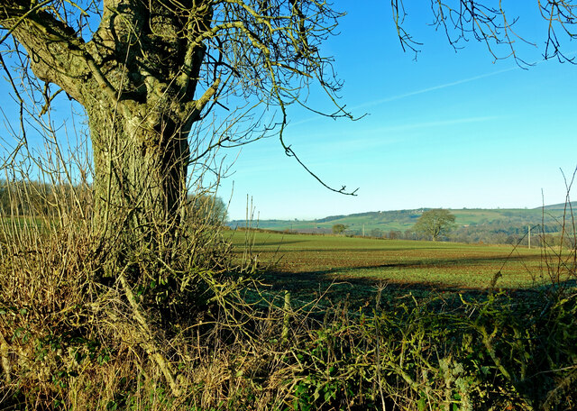
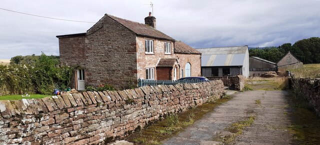
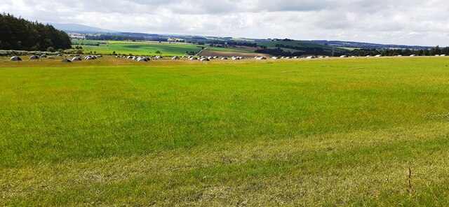
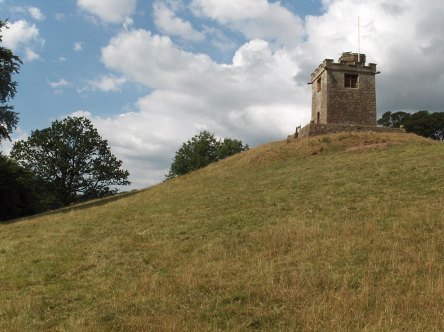
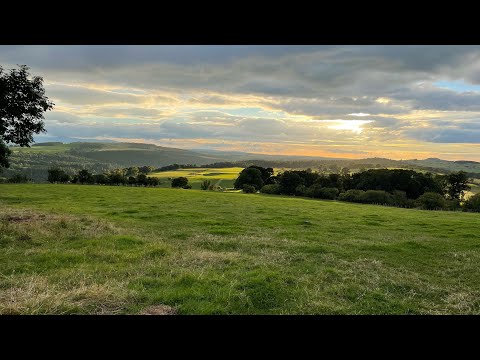
Birks Moss is a stunning moorland located in Cumberland, England. Nestled in the picturesque landscape of the Downs, this area is known for its natural beauty and rich biodiversity. Spanning across a vast expanse, Birks Moss offers visitors a unique experience of the moorland ecosystem.

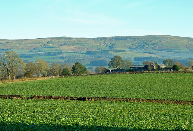
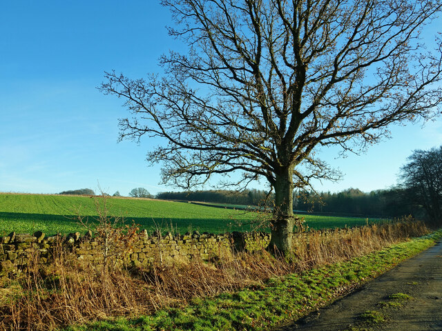
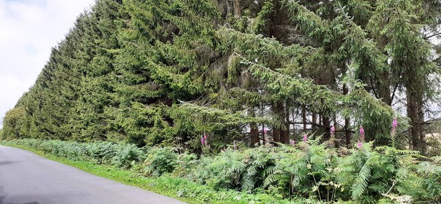
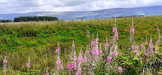
The moss is characterized by its rolling hills, heather-covered slopes, and expansive peat bogs. These peat bogs play a vital role in preserving the area's biological diversity by providing a habitat for a variety of plant and animal species. Rare mosses and lichens can be found thriving in this environment, making it a haven for botany enthusiasts.

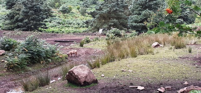
Birks Moss is also home to a wide range of bird species, including the iconic curlew and red grouse. The moorland's open landscape provides ample nesting and foraging opportunities for these avian creatures. Birdwatchers can witness the mesmerizing sight of these birds in flight, as well as catch a glimpse of other species that call this place home.

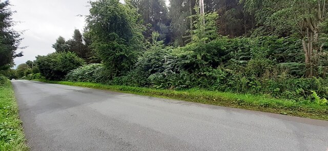
For nature lovers and outdoor enthusiasts, Birks Moss offers several walking trails that allow visitors to explore its captivating scenery. The trails provide access to various viewpoints, offering panoramic views of the surrounding countryside. Additionally, the moorland is intersected by a network of streams and small rivers, providing opportunities for fishing and other water-based activities.

Birks Moss is a place of tranquility and natural wonder, attracting visitors from near and far. Its unique blend of moorland landscapes, diverse flora and fauna, and recreational activities make it a must-visit destination for anyone seeking to immerse themselves in the beauty of Cumberland's countryside.

If you have any feedback on the listing, please let us know in the comments section below.
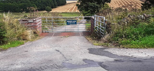
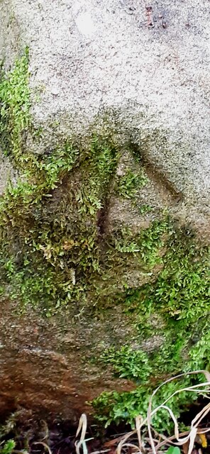
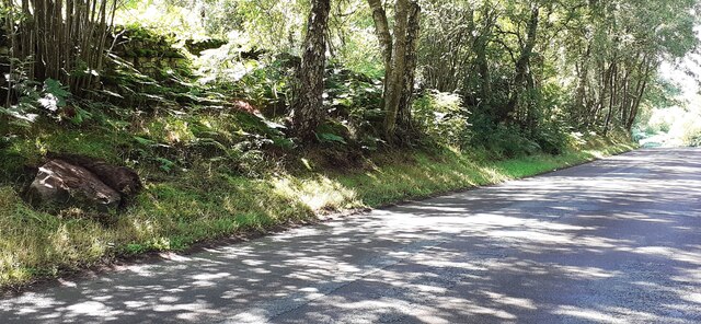
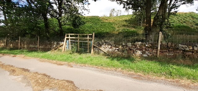
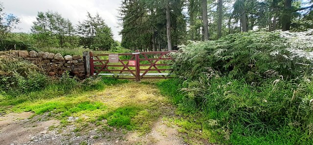
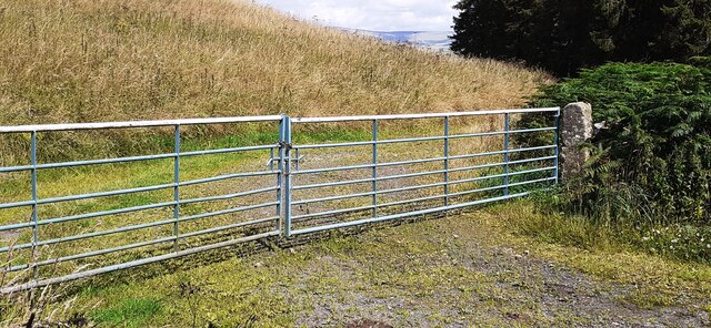
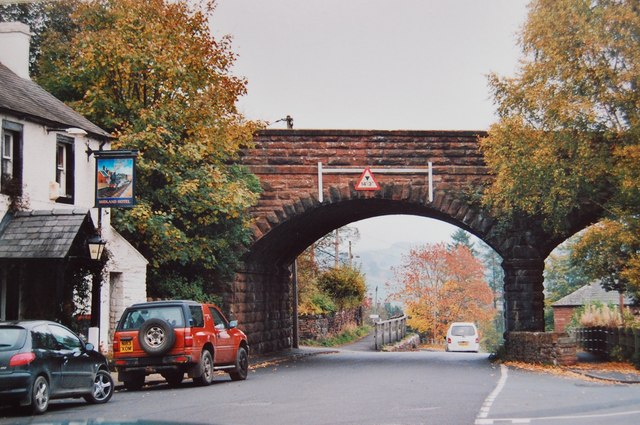
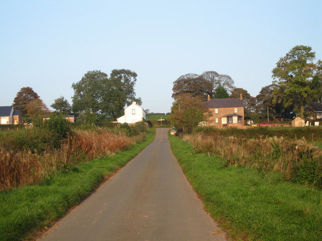
Birks Moss Images

Images are sourced within 2km of 54.76308/-2.7481555 or Grid Reference NY5141. Thanks to Geograph Open Source API. All images are credited.

Cote Hill farmland view This large field has been planted during the autumn for next year’s crop.
Cote Hill farmland view
This large field has been planted during the autumn for next year’s crop.
Towards Cote Hill Farm Viewed looking across winter feeding land.
Towards Cote Hill Farm
Viewed looking across winter feeding land.
Eden Valley farmland A roadside view taken in mid-December.
Eden Valley farmland
A roadside view taken in mid-December.
Benchmark on Cragnook Farm House Ordnance Survey cut mark benchmark levelled at 146.069m above Newlyn Datum verified 1972
Benchmark on Cragnook Farm House
Ordnance Survey cut mark benchmark levelled at 146.069m above Newlyn Datum verified 1972
Cragnook Farm farm house and access road There is an Ordnance Survey benchmark <a href="https://www.geograph.org.uk/photo/7245210">NY5340 : Benchmark on Cragnook Farm House</a> on the near corner, right hand face, of the farmhouse
Cragnook Farm farm house and access road
There is an Ordnance Survey benchmark NY5340 : Benchmark on Cragnook Farm House on the near corner, right hand face, of the farmhouse
Rural road through forestry NW of Crag Nook Ordnance Survey documents indicate that a benchmark levelled at 151.197m above Newlyn Datum was verified in 1972 on the side of the road here
Rural road through forestry NW of Crag Nook
Ordnance Survey documents indicate that a benchmark levelled at 151.197m above Newlyn Datum was verified in 1972 on the side of the road here
Cumberland County Council finger signpost at T-junction south of Low Plains The signpost has Milestone Society National ID:  CU_NY5040
Cumberland County Council finger signpost at T-junction south of Low Plains
The signpost has Milestone Society National ID: CU_NY5040
Signpost and shed on south side of rural road near Castlerigg Farm There is a close-up of the Cumberland County Council signpost at <a href="https://www.geograph.org.uk/photo/7245275">NY5040 : Cumberland County Council finger signpost at T-junction south of Low Plains</a>
Signpost and shed on south side of rural road near Castlerigg Farm
There is a close-up of the Cumberland County Council signpost at NY5040 : Cumberland County Council finger signpost at T-junction south of Low Plains
Entrance gateway for access to farmland of Lazonby Estate from NW side of road Ordnance Survey records indicate that a benchmark levelled at 153.568m above Newlyn Datum was verified in 1974 on a gatepost closer to the public road than the present gateway
Entrance gateway for access to farmland of Lazonby Estate from NW side of road
Ordnance Survey records indicate that a benchmark levelled at 153.568m above Newlyn Datum was verified in 1974 on a gatepost closer to the public road than the present gateway
Benchmark on rock on south side of road at Bleaberry Hill Ordnance Survey pivot benchmark levelled at 166.819m above Newlyn Datum verified 1974
Benchmark on rock on south side of road at Bleaberry Hill
Ordnance Survey pivot benchmark levelled at 166.819m above Newlyn Datum verified 1974
Rural road passing through woodland at Bleaberry Hill There is an Ordnance Survey benchmark <a href="https://www.geograph.org.uk/photo/7245601">NY5141 : Benchmark on rock on south side of road at Bleaberry Hill</a> on the rock in the roadside verge near the left hand edge of the image
Rural road passing through woodland at Bleaberry Hill
There is an Ordnance Survey benchmark NY5141 : Benchmark on rock on south side of road at Bleaberry Hill on the rock in the roadside verge near the left hand edge of the image
Gate into Castlerigg Plantation from road to Castlerigg Farm
Field with pig shelters viewed from road to Castlerigg Farm
Woodland strip on NE side of rural road NW of Crag Nook
Pigs in rough field on SW side of road near Bleaberry Hill
Field on NE side of rural road at Baronwood Park
Gateway into Lazonby Fell Plantation at Bleaberry Hill (Brackenburgh Estate) Ordnance Survey records indicate that a benchmark levelled at 152.653m above Newlyn Datum was verified in 1974 on a stone in the wall on the left hand side of the gateway
Gateway into Lazonby Fell Plantation at Bleaberry Hill (Brackenburgh Estate)
Ordnance Survey records indicate that a benchmark levelled at 152.653m above Newlyn Datum was verified in 1974 on a stone in the wall on the left hand side of the gateway
Gateway on north side of road giving access to farmland near Middleholm Moss
Show me another place!

Birks Moss is located at Grid Ref: NY5141 (Lat: 54.76308, Lng: -2.7481555)

Administrative County: Cumbria

District: Eden

Police Authority: Cumbria

What 3 Words

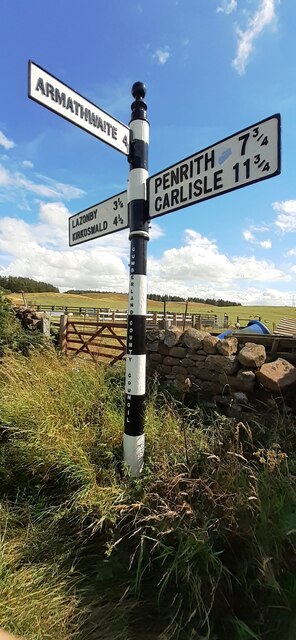
///spin.silk.baroness. Near Penrith, Cumbria

Related Wikis

Armathwaite Nunnery

Armathwaite Nunnery was a Benedictine nunnery in Cumbria, England. It was situated near the confluence of the rivers Croglin Water and Eden in the southern...

Staffield

Staffield is a hamlet and former civil parish 12 miles (19 km) from Carlisle, now in the parish of Kirkoswald, in the Eden district, in the county of Cumbria...

Lazonby & Kirkoswald railway station

Lazonby & Kirkoswald is a railway station on the Settle and Carlisle Line, which runs between Carlisle and Leeds via Settle. The station, which is situated...

Lazonby

Lazonby is a village and civil parish in the Lower Eden Valley of Cumbria; it is located about 8 miles (13 km) north-north-east of Penrith and 24 miles...

Ruckcroft

Ruckcroft is a hamlet in the English county of Cumbria. It neighbours the larger settlements of Armathwaite and Ainstable. In the past Ruckcroft had a...

Hesket, Cumbria

Hesket (also Hesket-in-the-Forest) is a large civil parish in the Eden District of Cumbria, England, on the main A6 between Carlisle and Penrith. At the...

Kirkoswald, Cumbria

Kirkoswald is a village, civil parish, and former market town located in Westmorland and Furness, England, about 9 miles (14 km) from Penrith. The village...

Dale, Cumbria

Dale is a hamlet in Cumbria, England. == References ==

Related Videos

The Fear - Ben Howard (Music Video)

Made this next music video from when we went on a walk into the woods last September. ********** NO COPYRIGHT ...

Forest Hike ASMR - River Eden, Coombs Wood

After a failed attempt at finding Lacys Caves, I stumbled upon Coombs Wood forestry and had to hike it! Caught a great view of the ...

Nearby Amenities

Located within 500m of 54.76308,-2.7481555
Power: pole
Lat/Long: 54.7617659/-2.7549542
Power: pole
Lat/Long: 54.7613803/-2.7541689
Power: pole
Lat/Long: 54.7615288/-2.7529232
Power: pole
Lat/Long: 54.7615003/-2.7515345
Power: pole
Lat/Long: 54.7616639/-2.7502577
Power: pole
Lat/Long: 54.7618559/-2.7488586
Power: pole
Lat/Long: 54.7615648/-2.7478262
Power: pole
Lat/Long: 54.7611207/-2.7471267
Power: pole
Lat/Long: 54.7605685/-2.7466508
The data included in this document is from www.openstreetmap.org. The data is made available under ODbL.

Have you been to Birks Moss?

Leave your review of Birks Moss below (or comments, questions and feedback).