Middleholm Moss

Downs, Moorland in Cumberland Eden

England

Middleholm Moss

Cote Hill farmland view This large field has been planted during the autumn for next year’s crop.
Cote Hill farmland view Credit: Mary and Angus Hogg

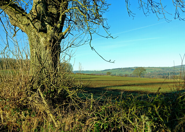
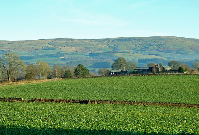
Middleholm Moss is a captivating stretch of peatland located in the county of Cumberland, within the Downs region of northwest England. This mesmerizing landscape covers an area of approximately 50 hectares, nestled amidst the stunning moorlands of the region. Enthusiasts of natural beauty and biodiversity are drawn to this unique ecosystem, which provides a habitat for a diverse range of flora and fauna.

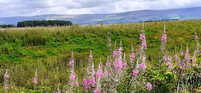
The moss is characterized by its distinctive wetland environment, with large expanses of open water, peat bogs, and marshy areas. These waterlogged conditions create an ideal breeding ground for a variety of plant species, including sphagnum moss, cotton grass, and heather. This rich vegetation supports a vibrant ecosystem, attracting numerous bird species such as curlews, lapwings, and snipe.

Middleholm Moss also plays a crucial role in water regulation and flood prevention, as it acts as a natural sponge, absorbing and slowly releasing rainfall. This function is of great importance to the local communities, particularly during periods of heavy precipitation.

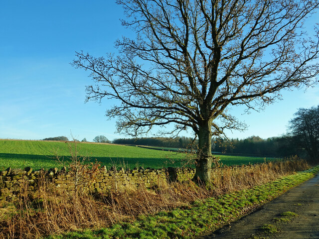
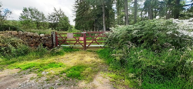
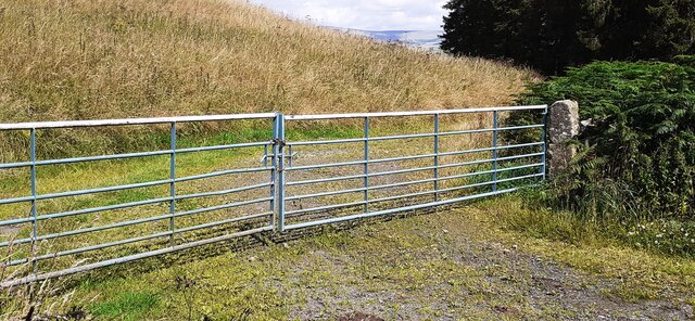
The moss is a popular destination for nature enthusiasts, who can explore the area through a network of well-maintained footpaths and boardwalks. These pathways allow visitors to immerse themselves in the tranquility of the moss, while also protecting the delicate environment from excessive foot traffic.

Middleholm Moss is undoubtedly a remarkable natural gem within the Cumberland Downs region. Its unique wetland ecosystem, diverse plant and bird species, and contributions to water regulation make it a site of both ecological and local importance, attracting visitors from near and far.

If you have any feedback on the listing, please let us know in the comments section below.

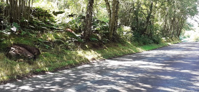
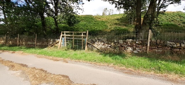
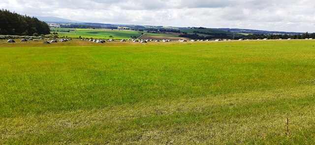
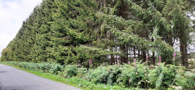
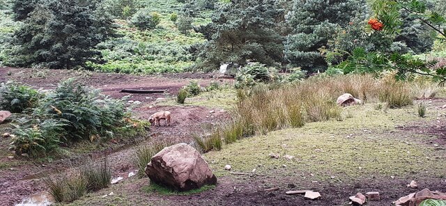
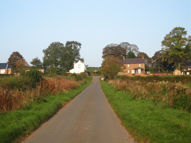
Middleholm Moss Images

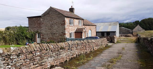
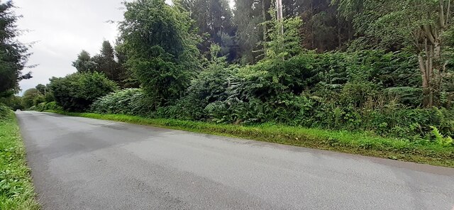
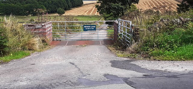
Images are sourced within 2km of 54.766781/-2.7485035 or Grid Reference NY5141. Thanks to Geograph Open Source API. All images are credited.

Cote Hill farmland view This large field has been planted during the autumn for next year’s crop.
Cote Hill farmland view
This large field has been planted during the autumn for next year’s crop.
Towards Cote Hill Farm Viewed looking across winter feeding land.
Towards Cote Hill Farm
Viewed looking across winter feeding land.
Eden Valley farmland A roadside view taken in mid-December.
Eden Valley farmland
A roadside view taken in mid-December.
Benchmark on Cragnook Farm House Ordnance Survey cut mark benchmark levelled at 146.069m above Newlyn Datum verified 1972
Benchmark on Cragnook Farm House
Ordnance Survey cut mark benchmark levelled at 146.069m above Newlyn Datum verified 1972
Cragnook Farm farm house and access road There is an Ordnance Survey benchmark <a href="https://www.geograph.org.uk/photo/7245210">NY5340 : Benchmark on Cragnook Farm House</a> on the near corner, right hand face, of the farmhouse
Cragnook Farm farm house and access road
There is an Ordnance Survey benchmark NY5340 : Benchmark on Cragnook Farm House on the near corner, right hand face, of the farmhouse
Rural road through forestry NW of Crag Nook Ordnance Survey documents indicate that a benchmark levelled at 151.197m above Newlyn Datum was verified in 1972 on the side of the road here
Rural road through forestry NW of Crag Nook
Ordnance Survey documents indicate that a benchmark levelled at 151.197m above Newlyn Datum was verified in 1972 on the side of the road here
Entrance gateway for access to farmland of Lazonby Estate from NW side of road Ordnance Survey records indicate that a benchmark levelled at 153.568m above Newlyn Datum was verified in 1974 on a gatepost closer to the public road than the present gateway
Entrance gateway for access to farmland of Lazonby Estate from NW side of road
Ordnance Survey records indicate that a benchmark levelled at 153.568m above Newlyn Datum was verified in 1974 on a gatepost closer to the public road than the present gateway
Benchmark on rock on south side of road at Bleaberry Hill Ordnance Survey pivot benchmark levelled at 166.819m above Newlyn Datum verified 1974
Benchmark on rock on south side of road at Bleaberry Hill
Ordnance Survey pivot benchmark levelled at 166.819m above Newlyn Datum verified 1974
Rural road passing through woodland at Bleaberry Hill There is an Ordnance Survey benchmark <a href="https://www.geograph.org.uk/photo/7245601">NY5141 : Benchmark on rock on south side of road at Bleaberry Hill</a> on the rock in the roadside verge near the left hand edge of the image
Rural road passing through woodland at Bleaberry Hill
There is an Ordnance Survey benchmark NY5141 : Benchmark on rock on south side of road at Bleaberry Hill on the rock in the roadside verge near the left hand edge of the image
Gate into Castlerigg Plantation from road to Castlerigg Farm
Field with pig shelters viewed from road to Castlerigg Farm
Woodland strip on NE side of rural road NW of Crag Nook
Pigs in rough field on SW side of road near Bleaberry Hill
Field on NE side of rural road at Baronwood Park
Gateway into Lazonby Fell Plantation at Bleaberry Hill (Brackenburgh Estate) Ordnance Survey records indicate that a benchmark levelled at 152.653m above Newlyn Datum was verified in 1974 on a stone in the wall on the left hand side of the gateway
Gateway into Lazonby Fell Plantation at Bleaberry Hill (Brackenburgh Estate)
Ordnance Survey records indicate that a benchmark levelled at 152.653m above Newlyn Datum was verified in 1974 on a stone in the wall on the left hand side of the gateway
Gateway on north side of road giving access to farmland near Middleholm Moss
Benchmark on rock on south side of road at Bleaberry Hill Ordnance Survey pivot benchmark levelled at 152.653m above Newlyn Datum verified 1973
Benchmark on rock on south side of road at Bleaberry Hill
Ordnance Survey pivot benchmark levelled at 152.653m above Newlyn Datum verified 1973
Rural road heading east past Bleaberry Hill There is an Ordnance Survey benchmark <a href="https://www.geograph.org.uk/photo/7250866">NY5141 : Benchmark on rock on south side of road at Bleaberry Hill</a> on top of the rock on the verge in the right foreground
Rural road heading east past Bleaberry Hill
There is an Ordnance Survey benchmark NY5141 : Benchmark on rock on south side of road at Bleaberry Hill on top of the rock on the verge in the right foreground
Show me another place!

Middleholm Moss is located at Grid Ref: NY5141 (Lat: 54.766781, Lng: -2.7485035)

Administrative County: Cumbria

District: Eden

Police Authority: Cumbria

What 3 Words

///closes.gladiator.tins. Near Penrith, Cumbria

Related Wikis

Armathwaite Nunnery

Armathwaite Nunnery was a Benedictine nunnery in Cumbria, England. It was situated near the confluence of the rivers Croglin Water and Eden in the southern...

Staffield

Staffield is a hamlet and former civil parish 12 miles (19 km) from Carlisle, now in the parish of Kirkoswald, in the Eden district, in the county of Cumbria...

Ruckcroft

Ruckcroft is a hamlet in the English county of Cumbria. It neighbours the larger settlements of Armathwaite and Ainstable. In the past Ruckcroft had a...

Hesket, Cumbria

Hesket (also Hesket-in-the-Forest) is a large civil parish in the Eden District of Cumbria, England, on the main A6 between Carlisle and Penrith. At the...

Have you been to Middleholm Moss?

Leave your review of Middleholm Moss below (or comments, questions and feedback).