Fox Wood
Downs, Moorland in Cumberland Eden
England
Fox Wood

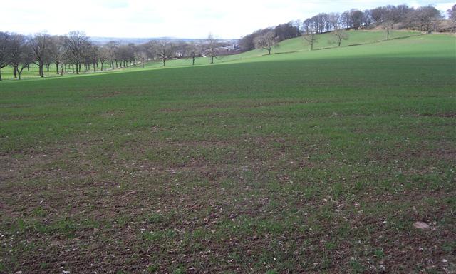
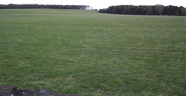
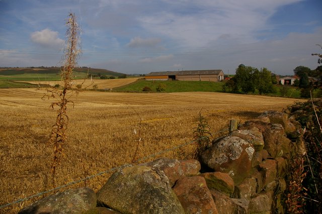
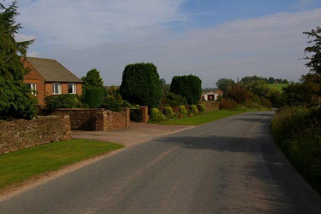
Fox Wood is a picturesque woodland area located in Cumberland, England. Situated in the Downs and Moorland region, the wood spans across a vast area, covering several hectares of land. The woodland is known for its lush greenery, diverse flora, and abundant wildlife.
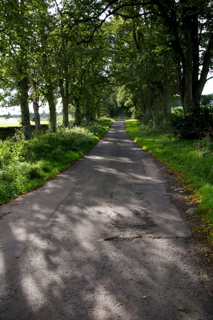
The wood is primarily composed of deciduous trees such as oak, beech, and birch, which provide a beautiful canopy during the spring and summer months. The forest floor is blanketed with an array of wildflowers, creating a colorful and vibrant landscape.
Fox Wood is a haven for various species of wildlife. It is home to a diverse range of bird species, including woodpeckers, owls, and songbirds. The woodland also provides habitat for mammals such as foxes, badgers, and deer. Nature enthusiasts visiting the wood can enjoy observing these animals in their natural habitat.
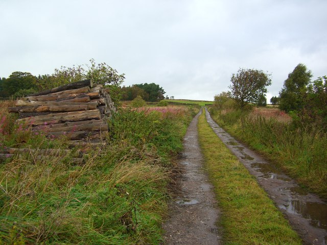
The wood offers numerous walking trails and paths, allowing visitors to explore its beauty at their own pace. The serene atmosphere and tranquility make it an ideal destination for those seeking a peaceful retreat or a place to reconnect with nature.
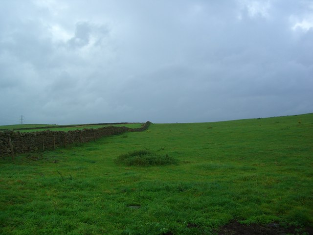
In addition to its natural beauty, Fox Wood also holds historical significance. It is believed that the woodland has been in existence for centuries and has been a source of timber for the local community. Remnants of old structures and stone walls can still be found within the wood, providing glimpses into its past.
Overall, Fox Wood, Cumberland (Downs, Moorland) is a stunning natural area that offers a rich and diverse experience for visitors. Its scenic beauty, abundant wildlife, and historical significance make it a must-visit destination for nature lovers and history enthusiasts alike.
If you have any feedback on the listing, please let us know in the comments section below.
Fox Wood Images
Images are sourced within 2km of 54.703808/-2.7474362 or Grid Reference NY5134. Thanks to Geograph Open Source API. All images are credited.


Fox Wood is located at Grid Ref: NY5134 (Lat: 54.703808, Lng: -2.7474362)
Administrative County: Cumbria
District: Eden
Police Authority: Cumbria
What 3 Words
///idealist.cyclones.homework. Near Penrith, Cumbria
Related Wikis

Penrith and The Border (UK Parliament constituency)
Penrith and The Border is a constituency in Cumbria represented in the House of Commons of the UK Parliament since 2019 by Neil Hudson, a Conservative...

Great Salkeld
Great Salkeld is a small village and civil parish in the Eden District of Cumbria, England, a few miles to the north east of Penrith and bordering the...

Plumpton, Cumbria
Plumpton or Plumpton Wall is a small village and former civil parish, in the parish of Hesket, in the Westmorland and Furness district, in the traditional...

Brockleymoor
Brockleymoor was a hamlet in Cumbria, England, but it is now part of the village of Plumpton. It is located several miles north of Penrith, not far from...

Plumpton railway station (Cumbria)
Plumpton railway station in Hesket parish in what is now Cumbria but was then Cumberland in the north west of England, was situated on the Lancaster and...

Penrith Town Hall
Penrith Town Hall is a municipal building in Corney Square, Penrith, Cumbria, England. The structure, which was the headquarters of Eden District Council...

Eden District
Eden was a local government district in Cumbria, England, based at Penrith Town Hall in Penrith. It was named after the River Eden, which flows north through...
Penrith Rural District
Penrith was a rural district within the administrative county of Cumberland, England that existed from 1894 to 1974 with slight boundary changes in 1934...
Nearby Amenities
Located within 500m of 54.703808,-2.7474362Have you been to Fox Wood?
Leave your review of Fox Wood below (or comments, questions and feedback).