Home Wood

Wood, Forest in Cumberland Eden

England

Home Wood

River Pettril road bridge. A lot of surface debris has caught up in the fence across this normally placid river.
River Pettril road bridge. Credit: John Holmes

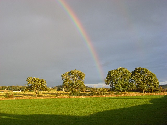
Home Wood, Cumberland, also known as Wood or Forest, is a dense woodland located in the county of Cumberland, England. Spanning an area of approximately 500 acres, this ancient forest is a haven for nature enthusiasts and a popular destination for outdoor activities.

Home Wood is characterized by its diverse range of flora and fauna. The woodland is predominantly composed of deciduous trees, including oak, beech, and birch, which create a picturesque landscape throughout the year. The forest floor is adorned with a variety of wildflowers, such as bluebells and primroses, adding vibrant bursts of color to the surroundings.

The wood is home to an array of wildlife, providing a natural habitat for numerous species. Birdwatchers can spot various bird species, including woodpeckers, owls, and finches. The forest is also inhabited by mammals like deer, foxes, and squirrels, making it a popular spot for wildlife photography and observation.

The wood offers a plethora of recreational activities for visitors. There are numerous walking trails and cycling routes that wind through the forest, allowing visitors to explore the natural beauty at their own pace. The forest also features picnic areas and camping sites, providing opportunities for families and outdoor enthusiasts to enjoy a day out or an overnight stay in nature.

Home Wood, Cumberland, with its rich biodiversity and serene atmosphere, offers a peaceful retreat for those seeking solace in nature. Whether it's a leisurely stroll, birdwatching, or simply enjoying a picnic amidst the trees, this ancient woodland has something to offer for everyone.

If you have any feedback on the listing, please let us know in the comments section below.
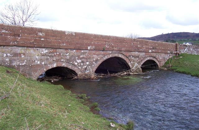
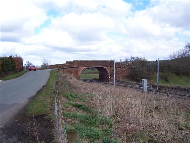
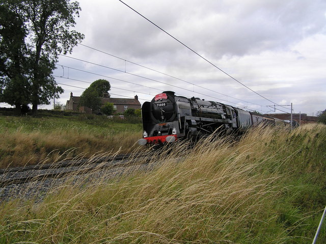
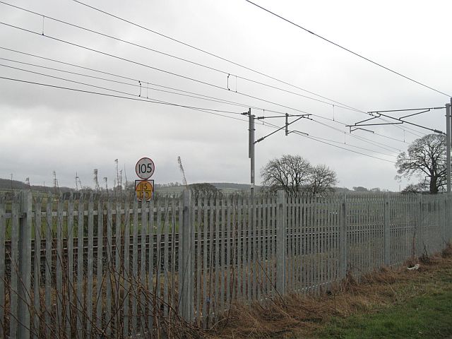
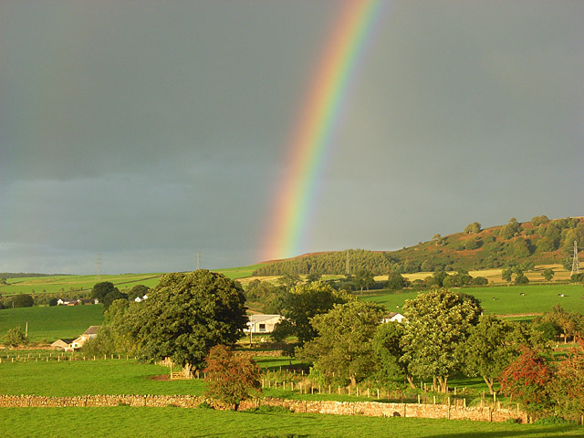
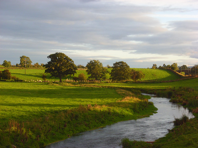
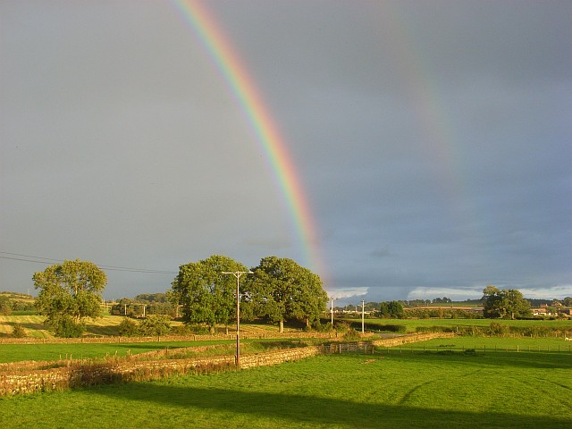
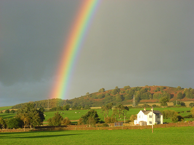
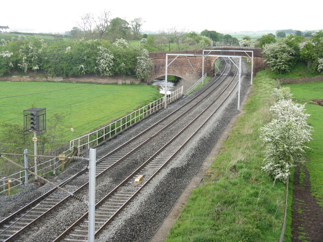
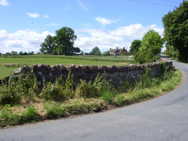
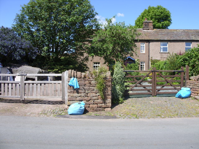
Home Wood Images

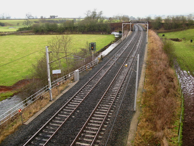
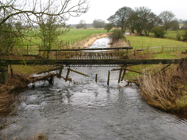
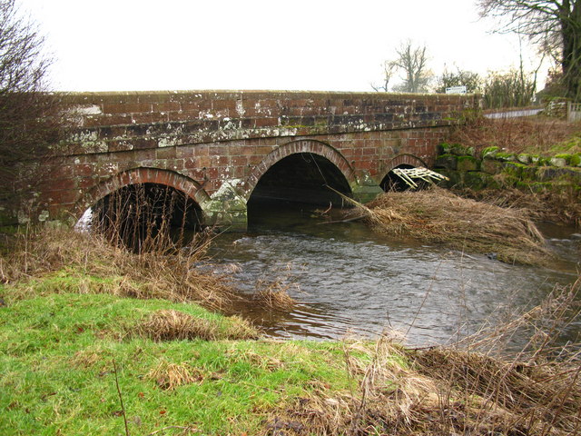
Images are sourced within 2km of 54.702701/-2.7549111 or Grid Reference NY5134. Thanks to Geograph Open Source API. All images are credited.

River Pettril road bridge. A lot of surface debris has caught up in the fence across this normally placid river.
River Pettril road bridge.
A lot of surface debris has caught up in the fence across this normally placid river.
Mainline road bridge over the railway. It hardly looks big enough to take the trains but it does.
Mainline road bridge over the railway.
It hardly looks big enough to take the trains but it does.
West coast main line at Kitchenhill Duke of Gloucester South bound hauling steam special. Kitchenhill cottages in background
West coast main line at Kitchenhill
Duke of Gloucester South bound hauling steam special. Kitchenhill cottages in background
Speed limits, West Coast Mainline Behind the new fencing, some speed limits on the Glasgow - London railway. Presumably still in miles per hour.
Speed limits, West Coast Mainline
Behind the new fencing, some speed limits on the Glasgow - London railway. Presumably still in miles per hour.
Pastures in the Petteril valley near Penrith The view from the railway bridge at Kitchenhill. Buildings at Holme Head can be seen though the trees.
Pastures in the Petteril valley near Penrith
The view from the railway bridge at Kitchenhill. Buildings at Holme Head can be seen though the trees.
The River Petteril Looking upstream from Kitchenhill Bridge.
The River Petteril
Looking upstream from Kitchenhill Bridge.
Pastures near Penrith Looking towards the nearby crossroads from Kitchenhill Bridge.
Pastures near Penrith
Looking towards the nearby crossroads from Kitchenhill Bridge.
Rainbow over the Petteril valley The house is called Heatherlea and stands on the edge of the grid-square near Holme Head. The high ground rises towards Wan Fell on the ridge that separates the Eden and Petteril valleys.
Rainbow over the Petteril valley
The house is called Heatherlea and stands on the edge of the grid-square near Holme Head. The high ground rises towards Wan Fell on the ridge that separates the Eden and Petteril valleys.
Pastures near Penrith The trees are on the road south of Plumpton Head and viewed from the road just east of Kitchenhill Bridge.
Pastures near Penrith
The trees are on the road south of Plumpton Head and viewed from the road just east of Kitchenhill Bridge.
Catterlen Bridge View from Kettleside Bridge with the River Petteril beside the tracks.
Catterlen Bridge
View from Kettleside Bridge with the River Petteril beside the tracks.
River Petteril View downstream from Kitchenhill Bridge.
River Petteril
View downstream from Kitchenhill Bridge.
Kitchenhill Bridge Downstream view from the banks of the River Petteril.
Kitchenhill Bridge
Downstream view from the banks of the River Petteril.
The West Coast Main Line from Kettleside Bridge Looking north to Catterlen bridge, which crosses both the railway and the River Petteril
The West Coast Main Line from Kettleside Bridge
Looking north to Catterlen bridge, which crosses both the railway and the River Petteril
Kitchenhill 3 cottages beside the West Coast Line
Kitchenhill
3 cottages beside the West Coast Line
Kitchenhill These 3 old cottages have a date of 1704 above one doorway.
Kitchenhill
These 3 old cottages have a date of 1704 above one doorway.
Catterlen Bridge over West Coast Main Line The bridge has Network Rail description CGJ7/182 Hutton Road. Ordnance Survey documents indicate that a benchmark levelled at 147.819m above Newlyn Datum was verified in 1969 on the right hand bridge parapet
Catterlen Bridge over West Coast Main Line
The bridge has Network Rail description CGJ7/182 Hutton Road. Ordnance Survey documents indicate that a benchmark levelled at 147.819m above Newlyn Datum was verified in 1969 on the right hand bridge parapet
Looking north from Kettleside Bridge
Catterlen Bridge Across the River Petteril and the main line railway, viewed from Kettleside Bridge
Catterlen Bridge
Across the River Petteril and the main line railway, viewed from Kettleside Bridge
Show me another place!

Home Wood is located at Grid Ref: NY5134 (Lat: 54.702701, Lng: -2.7549111)

Administrative County: Cumbria

District: Eden

Police Authority: Cumbria

What 3 Words

///renews.stump.minivans. Near Penrith, Cumbria

Related Wikis

Plumpton, Cumbria

Plumpton or Plumpton Wall is a small village and former civil parish, in the parish of Hesket, in the Westmorland and Furness district, in the traditional...

Penrith and The Border (UK Parliament constituency)

Penrith and The Border is a constituency in Cumbria represented in the House of Commons of the UK Parliament since 2019 by Neil Hudson, a Conservative...

Brockleymoor

Brockleymoor was a hamlet in Cumbria, England, but it is now part of the village of Plumpton. It is located several miles north of Penrith, not far from...

Plumpton railway station (Cumbria)

Plumpton railway station in Hesket parish in what is now Cumbria but was then Cumberland in the north west of England, was situated on the Lancaster and...

Penrith Rural District

Penrith was a rural district within the administrative county of Cumberland, England that existed from 1894 to 1974 with slight boundary changes in 1934...

Great Salkeld

Great Salkeld is a small village and civil parish in the Eden District of Cumbria, England, a few miles to the north east of Penrith and bordering the...

Penrith Town Hall

Penrith Town Hall is a municipal building in Corney Square, Penrith, Cumbria, England. The structure, which was the headquarters of Eden District Council...

Eden District

Eden was a local government district in Cumbria, England, based at Penrith Town Hall in Penrith. It was named after the River Eden, which flows north through...

Nearby Amenities

Located within 500m of 54.702701,-2.7549111
Bowscar
Place: hamlet
Lat/Long: 54.7008737/-2.7568495
Design: three-level
Power: tower
Lat/Long: 54.6991041/-2.7517209
Design: three-level
Power: tower
Lat/Long: 54.7009208/-2.7543353
Design: three-level
Power: tower
Lat/Long: 54.7036182/-2.7581533
Post Box
Ref: CA11 32
Source: survey
Lat/Long: 54.7014256/-2.7589279
Power: pole
Lat/Long: 54.6994121/-2.7584525
Power: pole
Lat/Long: 54.6999149/-2.75731
Power: pole
Lat/Long: 54.7002662/-2.7565206
Power: pole
Lat/Long: 54.7013053/-2.7541624
Power: pole
Lat/Long: 54.7015632/-2.7539909
Power: pole
Lat/Long: 54.7019159/-2.7537336
Power: pole
Lat/Long: 54.7022948/-2.7534612
Power: pole
Lat/Long: 54.7026781/-2.7532141
Power: pole
Lat/Long: 54.7031095/-2.7534411
Power: pole
Lat/Long: 54.7034884/-2.7536302
The data included in this document is from www.openstreetmap.org. The data is made available under ODbL.

Have you been to Home Wood?

Leave your review of Home Wood below (or comments, questions and feedback).