Dunnichen Moss

Downs, Moorland in Angus

Scotland

Dunnichen Moss

Kirkden Graveyard Kirkden graveyard situated on the edge of the village of Letham contains graves from as early as 1739 and the bell mounted on the wall belongs to the kirk which was demolished in 1952.
Kirkden Graveyard Credit: Mary Rodgers

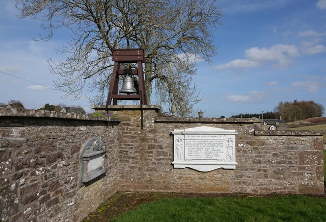
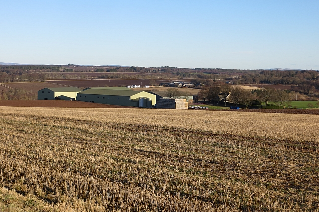
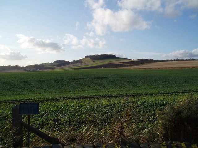
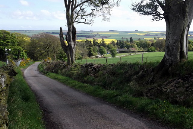
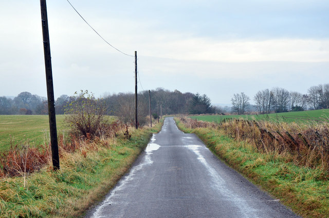
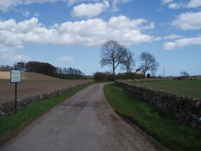
Dunnichen Moss is a renowned natural reserve located in Angus, Scotland. It is a vast expanse of moorland and wetland, covering an area of approximately 1,200 hectares. The site is situated near the village of Letham, just a few miles north of the town of Forfar.

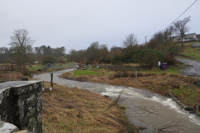
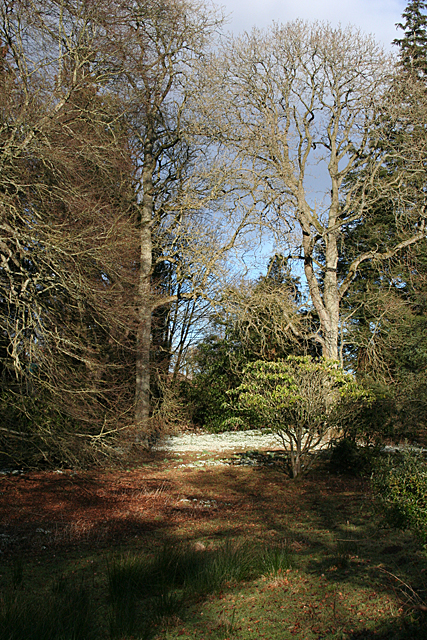
Dunnichen Moss is characterized by its diverse and unique ecosystems. It is home to a wide range of plant and animal species, making it an important site for conservation and biodiversity. The moss is dominated by heather and gorse, creating a vibrant display of color during the blooming season. Other plant species such as sphagnum moss, cotton grass, and bog myrtle can also be found in abundance.

The reserve is a haven for birdwatchers as it attracts a variety of species throughout the year. The likes of curlews, lapwings, skylarks, and meadow pipits can be spotted nesting and foraging in the area. Dunnichen Moss is also known for its significant population of breeding waders, including redshanks and snipe.

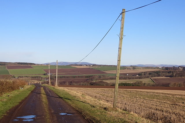
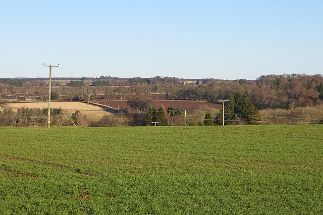
Visitors to Dunnichen Moss can explore the reserve through a network of well-maintained footpaths. The site offers breathtaking views of the surrounding countryside, with the Sidlaws Hills and Grampian Mountains visible in the distance. It is a popular destination for nature enthusiasts, hikers, and photographers seeking tranquility and natural beauty.

Overall, Dunnichen Moss is a remarkable natural site that showcases the diverse habitats of Angus. Its conservation efforts and unique ecosystems make it a must-visit destination for anyone interested in Scotland's natural heritage.

If you have any feedback on the listing, please let us know in the comments section below.

Dunnichen Moss Images

Images are sourced within 2km of 56.631418/-2.7842402 or Grid Reference NO5149. Thanks to Geograph Open Source API. All images are credited.

Kirkden Graveyard Kirkden graveyard situated on the edge of the village of Letham contains graves from as early as 1739 and the bell mounted on the wall belongs to the kirk which was demolished in 1952.
Kirkden Graveyard
Kirkden graveyard situated on the edge of the village of Letham contains graves from as early as 1739 and the bell mounted on the wall belongs to the kirk which was demolished in 1952.
Field behind Letham One of the path around Letham around to Kirkden.
Field behind Letham
One of the path around Letham around to Kirkden.
Vinny Burn Flooded Vinny Burn at Kirkden, Letham
Vinny Burn
Flooded Vinny Burn at Kirkden, Letham
Road to Balgavies and Newmill A farm road signposted as a path.
Road to Balgavies and Newmill
A farm road signposted as a path.
Arable land, Balgavies
Newmill Stubble above Newmill.
Newmill
Stubble above Newmill.
Snowdrops at Burnside If I am anywhere near here in February, I always make the detour to admire the carpet of snowdrops near the road at Burnside. It's one of best displays I know of.
Snowdrops at Burnside
If I am anywhere near here in February, I always make the detour to admire the carpet of snowdrops near the road at Burnside. It's one of best displays I know of.
Snowdrops A small part of the extensive carpet of snowdrops at Burnside.
Snowdrops
A small part of the extensive carpet of snowdrops at Burnside.
Snowdrops (Galanthus nivalis) Detail of some of the thousands of snowdrops at Burnside.
Snowdrops (Galanthus nivalis)
Detail of some of the thousands of snowdrops at Burnside.
Nechtansmere and Dunnichen Hill In AD 685 the Battle of Nechtansmere took place near this site. The site is disputed and some historians assert that it took place much further north. Irrespective of this dispute the result of the battle brought to an end Northumbrian control in this part of Scotland.
Nechtansmere and Dunnichen Hill
In AD 685 the Battle of Nechtansmere took place near this site. The site is disputed and some historians assert that it took place much further north. Irrespective of this dispute the result of the battle brought to an end Northumbrian control in this part of Scotland.
The Girdlestane A prehistoric cup and ring monument
The Girdlestane
A prehistoric cup and ring monument
View toward Tulloes from Dunnichen Hill near Letham, Angus I was intrigued by the greenery and patchwork effect of the oilseed rape crops.
View toward Tulloes from Dunnichen Hill near Letham, Angus
I was intrigued by the greenery and patchwork effect of the oilseed rape crops.
View of Letham, Angus and beyond from Dunnichen Hill The view shows the oilseed rape crops blooming, Letham Village and a reservoir in the foreground. Part of the road from Burnside Home Farm to Dunnichen Village can also be seen.
View of Letham, Angus and beyond from Dunnichen Hill
The view shows the oilseed rape crops blooming, Letham Village and a reservoir in the foreground. Part of the road from Burnside Home Farm to Dunnichen Village can also be seen.
Spring setting on Dunnichen Hill with sheep and lambs Photo taken from Burnside / Dunnichen Road looking west / northwest.
Spring setting on Dunnichen Hill with sheep and lambs
Photo taken from Burnside / Dunnichen Road looking west / northwest.
Road junction near Letham
Minor road near Letham
Drummietermont
Drummietermont
Whitefield
Whitefield
Show me another place!

Dunnichen Moss is located at Grid Ref: NO5149 (Lat: 56.631418, Lng: -2.7842402)

Unitary Authority: Angus

Police Authority: Tayside

What 3 Words

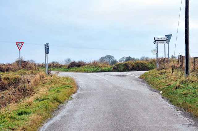
///throwaway.scar.across. Near Letham, Angus

Nearby Locations

Dunnichen Moss

Related Wikis

Letham, Angus

Letham (Scots pronunciation: [ˈlɛθəm]) is a village in Angus, Scotland. Letham is the largest village in Angus, with a population of nearly 2,000. Situated...

Dunnichen

Dunnichen (Scots pronunciation: [dəˈnɪxən]; Scottish Gaelic: Dùn Eachain) is a small village in Angus, Scotland, situated between Letham and Forfar. It...

Bowriefauld

Bowriefauld is a village in Angus, Scotland.

Auldbar Road railway station

Auldbar Road railway station was located near the town of Guthrie in the Scottish county of Angus. == History == Opened by the Arbroath and Forfar Railway...

Nearby Amenities

Located within 500m of 56.631418,-2.7842402
Letham
Traffic Sign: city_limit
Traffic Sign Direction: forward
Lat/Long: 56.6269851/-2.7835709
Power: pole
Lat/Long: 56.6330765/-2.7771002
Power: pole
Lat/Long: 56.6343795/-2.7781712
Power: pole
Lat/Long: 56.6336974/-2.7776238
Power: pole
Lat/Long: 56.6324531/-2.7764292
Power: pole
Lat/Long: 56.6286088/-2.7905725
Power: pole
Lat/Long: 56.6291171/-2.7910638
Power: pole
Lat/Long: 56.6296381/-2.7915885
Power: pole
Lat/Long: 56.6329453/-2.7782143
Power: pole
Lat/Long: 56.6328556/-2.7794185
Power: pole
Lat/Long: 56.6327717/-2.7805705
Power: pole
Lat/Long: 56.6326877/-2.7817434
Power: pole
Lat/Long: 56.6326038/-2.7829853
Power: pole
Lat/Long: 56.6325118/-2.7842021
Power: pole
Lat/Long: 56.6324094/-2.7854628
Power: pole
Lat/Long: 56.6323542/-2.7865604
Power: pole
Lat/Long: 56.6322829/-2.7877145
Power: pole
Lat/Long: 56.631915/-2.7889459
Power: pole
Lat/Long: 56.6315711/-2.7902108
Power: pole
Lat/Long: 56.63124/-2.7914798
Power: pole
Lat/Long: 56.6325187/-2.7888351
Power: pole
Lat/Long: 56.632759/-2.7899871
Power: pole
Lat/Long: 56.6330085/-2.7910784
The data included in this document is from www.openstreetmap.org. The data is made available under ODbL.

Have you been to Dunnichen Moss?

Leave your review of Dunnichen Moss below (or comments, questions and feedback).