Sutton Hall Wood
Wood, Forest in Lancashire
England
Sutton Hall Wood

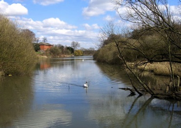
Sutton Hall Wood is a picturesque woodland located in the county of Lancashire, England. Situated near the village of Sutton, the wood covers an area of approximately 80 hectares. It is a designated Site of Special Scientific Interest (SSSI) due to its rich biodiversity and historical significance.
The wood is predominantly composed of native broadleaf trees, such as oak, beech, and ash, creating a diverse and vibrant ecosystem. It is home to a variety of flora and fauna, including rare and protected species. The woodland floor is carpeted with bluebells, wood anemones, and wild garlic during the spring, creating a breathtaking floral display.
Visitors to Sutton Hall Wood can enjoy a network of well-maintained footpaths that wind through the forest, providing opportunities for leisurely walks and peaceful exploration. The wood also features a small pond, enhancing its natural beauty and attracting a range of aquatic wildlife.
The historical significance of Sutton Hall Wood is evident through the presence of ancient earthworks and remnants of a medieval moat. These archaeological features suggest that the woodland has been inhabited and utilized for centuries. The wood is also surrounded by a rich cultural landscape, with nearby landmarks including the historic Sutton Hall and the picturesque village of Sutton.
Sutton Hall Wood offers a tranquil escape from the hustle and bustle of modern life, providing a haven for nature enthusiasts, walkers, and those seeking a connection with Lancashire's natural and historical heritage.
If you have any feedback on the listing, please let us know in the comments section below.
Sutton Hall Wood Images
Images are sourced within 2km of 53.430256/-2.7373176 or Grid Reference SJ5192. Thanks to Geograph Open Source API. All images are credited.


Sutton Hall Wood is located at Grid Ref: SJ5192 (Lat: 53.430256, Lng: -2.7373176)
Unitary Authority: St. Helens
Police Authority: Merseyside
What 3 Words
///announced.episodes.originate. Near St Helens, Merseyside
Nearby Locations
Related Wikis
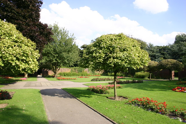
Sherdley Park
Sherdley Park is a 336 acre (136 ha) urban park in Sutton, St Helens, Merseyside. == History == In the 19th century it was owned by coal and copper baron...
The Sutton Academy
The Sutton Academy (formerly Sutton High Sports College and originally known as Sutton High School) is a secondary school in the Sutton area of St. Helens...

Thatto Heath
Thatto Heath is an area of St Helens, in Merseyside, England. == Location == Historically in Lancashire, it lies approximately 6 miles (9.7 km) north-northwest...

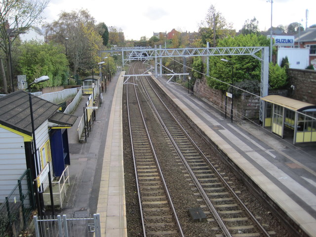
Lea Green railway station
Lea Green railway station is in St Helens, Merseyside, England, three miles south of the town centre near the suburb of Clock Face. The station is on...
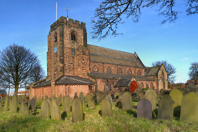
St Nicholas Church, St Helens
St Nicholas Church is in New Street, Sutton, Merseyside, England. It is an active Anglican parish church in the deanery of Saint Helens, the Archdeaconry...
Sutton Mill Dam
The Sutton Mill Dam is a wildlife nature park and area of open water located in Sutton in the south of St Helens in Merseyside, England. Sandwiched between...

St Helens Hospital, Merseyside
St Helens Hospital is a health facility at St Helens, Merseyside. It is managed by Mersey and West Lancashire Teaching Hospitals NHS Trust. == History... ==
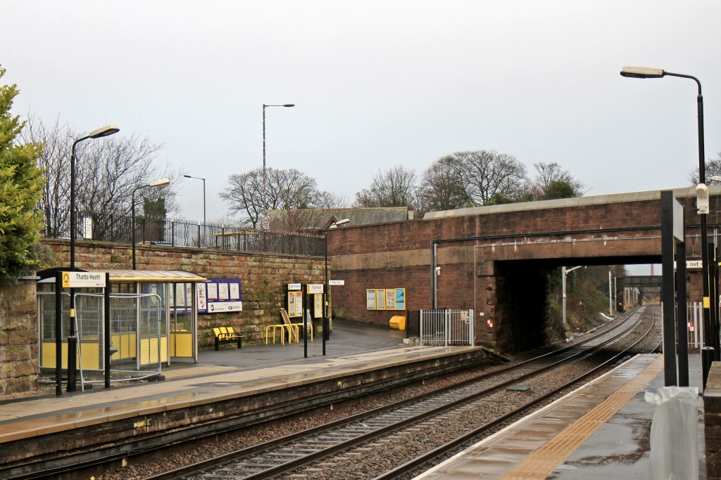
Thatto Heath railway station
Thatto Heath railway station is located in the Thatto Heath area of St Helens, Merseyside, England. It is situated on the electrified Merseytravel Liverpool...
Nearby Amenities
Located within 500m of 53.430256,-2.7373176Have you been to Sutton Hall Wood?
Leave your review of Sutton Hall Wood below (or comments, questions and feedback).