Saltmoor Copse

Wood, Forest in Shropshire

England

Saltmoor Copse

Moor Park Parkland around the house that is now a preparatory school. View from the edge of the forest.
Moor Park Credit: Richard Webb

Saltmoor Copse is a picturesque woodland located in the county of Shropshire, England. Situated near the village of Saltmoor, the copse covers an area of approximately 50 acres and is renowned for its natural beauty and diverse ecosystem.

The copse is primarily composed of deciduous trees, including oak, beech, and ash, which create a dense canopy that provides shade and shelter for a wide variety of wildlife. The forest floor is covered with a rich carpet of mosses, ferns, and wildflowers, adding to its enchanting atmosphere.

A network of well-maintained footpaths meanders through the copse, allowing visitors to explore its hidden corners and enjoy the tranquility of the surroundings. These paths offer opportunities for leisurely walks or more adventurous hikes, with some paths leading to stunning viewpoints overlooking the surrounding countryside.

The copse is home to a diverse range of wildlife, including several species of birds such as woodpeckers, nuthatches, and tawny owls. The trees provide a habitat for squirrels, badgers, and foxes, while the nearby river attracts otters and various species of fish.

Saltmoor Copse is a popular destination for nature lovers, birdwatchers, and photographers who are captivated by its natural charm and the opportunity to observe and capture its beauty. The copse is also a valuable educational resource, providing a hands-on experience for students and researchers studying the local flora and fauna.

Overall, Saltmoor Copse is a hidden gem in Shropshire, offering a serene and captivating woodland experience for visitors of all ages.

If you have any feedback on the listing, please let us know in the comments section below.

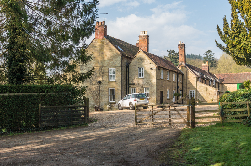
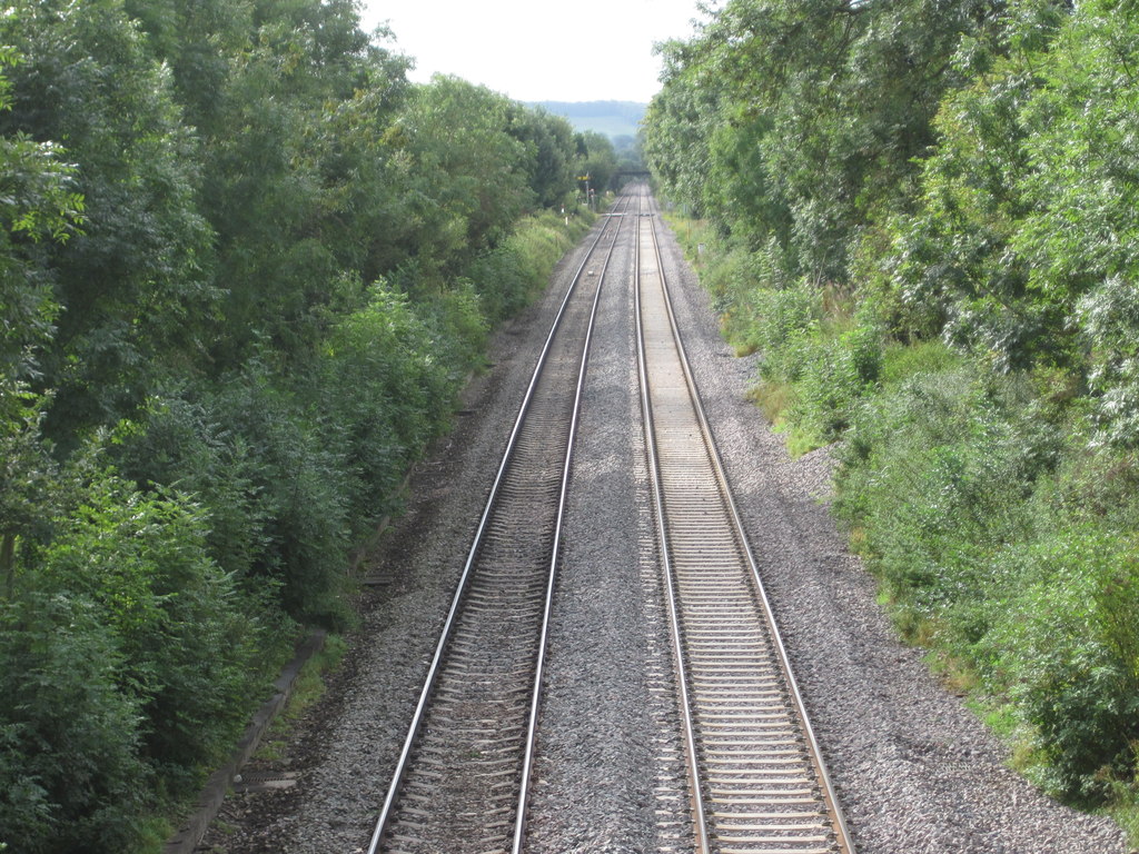
Saltmoor Copse Images

Images are sourced within 2km of 52.343635/-2.7080927 or Grid Reference SO5171. Thanks to Geograph Open Source API. All images are credited.

Moor Park Parkland around the house that is now a preparatory school. View from the edge of the forest.
Moor Park
Parkland around the house that is now a preparatory school. View from the edge of the forest.
B4361, Overton A woodland section of road on the edge of the Bringewood forest. Moor Park on the right.
B4361, Overton
A woodland section of road on the edge of the Bringewood forest. Moor Park on the right.
Moor Park View off the woodland Overton Common into Moor Park. The house is now a preparatory school.
Moor Park
View off the woodland Overton Common into Moor Park. The house is now a preparatory school.
The driveway from Moor Park School
The driveway to Moor Park School
Lay-by on B4361 on Overton Common
Old Milepost by the A49, north of Woofferton, Ashford Bowdler Parish Cast iron post by the A49, in parish of ASHFORD BOWDLER (SOUTH SHROPSHIRE District), North of Woofferton, South of driveway to Featherknowl, on West side of road. Ludlow post, erected by the Ludlow (second district) turnpike trust in the 19th century. Damaged

Inscription reads:- : TO / LUDLOW / 3 / MILES : : (ASH)FO(RD) / PARISH : : TO / TENBURY / 6 MILES / LEMSTER / 8 :  

Milestone Society National ID: SA_TBLD06.
Old Milepost by the A49, north of Woofferton, Ashford Bowdler Parish
Cast iron post by the A49, in parish of ASHFORD BOWDLER (SOUTH SHROPSHIRE District), North of Woofferton, South of driveway to Featherknowl, on West side of road. Ludlow post, erected by the Ludlow (second district) turnpike trust in the 19th century. Damaged Inscription reads:- : TO / LUDLOW / 3 / MILES : : (ASH)FO(RD) / PARISH : : TO / TENBURY / 6 MILES / LEMSTER / 8 : Milestone Society National ID: SA_TBLD06.
Village green, Ashford Carbonel End of Dumblehole Lane. Until 1972 there was a milk churn stand which doubled as a bus stop just beyond the grit bin.
Village green, Ashford Carbonel
End of Dumblehole Lane. Until 1972 there was a milk churn stand which doubled as a bus stop just beyond the grit bin.
Gates, Ashford Court Very different to the big white painted gates that were here until the 1960s. The Court is empty, awaiting conversion to flats, hence the security,
Gates, Ashford Court
Very different to the big white painted gates that were here until the 1960s. The Court is empty, awaiting conversion to flats, hence the security,
Drive, Ashford Court
Why nobody walks to school anymore We did not have to put up with this when the pavement was new.
Why nobody walks to school anymore
We did not have to put up with this when the pavement was new.
Open gardens poster, Ashford Carbonell Village Hall Covid-19: Booking required.  The use of Christian names is interesting as it shows how much progress there has been to forming a community again after the massive upheavals caused by the changing rural economy and house price inflation.  Some of my older comments about the village are not complimentary and I make no apologies for them, but they are now from the past - I really enjoy visiting now.
Open gardens poster, Ashford Carbonell Village Hall
Covid-19: Booking required. The use of Christian names is interesting as it shows how much progress there has been to forming a community again after the massive upheavals caused by the changing rural economy and house price inflation. Some of my older comments about the village are not complimentary and I make no apologies for them, but they are now from the past - I really enjoy visiting now.
Lane to Teme's Green
River Teme Upstream of Teme's Green
River Teme
Upstream of Teme's Green
St Andrew's Ashford Bowdler View from the river. The church has been badly damaged by being undercut by the river in the past and the latest generation of defences can be seen.
St Andrew's Ashford Bowdler
View from the river. The church has been badly damaged by being undercut by the river in the past and the latest generation of defences can be seen.
River Teme Downstream of Ashford Bowdler Church.  I was alarmed at the colour of the water which is a rather newish development, probably due to eutrophication - local opinion blames the poultry industry. The water was more normal looking a month later.
River Teme
Downstream of Ashford Bowdler Church. I was alarmed at the colour of the water which is a rather newish development, probably due to eutrophication - local opinion blames the poultry industry. The water was more normal looking a month later.
River Teme Upstream of Ashford Court. There are a couple of rocky steps ahead and there is a long still stretch of water here. I used to swim here a lot in the past when access was easier.
River Teme
Upstream of Ashford Court. There are a couple of rocky steps ahead and there is a long still stretch of water here. I used to swim here a lot in the past when access was easier.
River Teme, Ashford Court A short break in the almost continuous wooded banks of the river, presumably trees were removed by previous inhabitants of the big house.  The house is undergoing conversion to flats.
River Teme, Ashford Court
A short break in the almost continuous wooded banks of the river, presumably trees were removed by previous inhabitants of the big house. The house is undergoing conversion to flats.
Show me another place!

Saltmoor Copse is located at Grid Ref: SO5171 (Lat: 52.343635, Lng: -2.7080927)

Unitary Authority: Shropshire

Police Authority: West Mercia

What 3 Words

///began.sketches.daydreams. Near Ludlow, Shropshire

Related Wikis

Overton, Shropshire

Overton is a small village in south Shropshire, England. Overton lies west of the River Teme, 1.5 miles (2.4 km) south of the town of Ludlow and close...

Ashford Bowdler

Ashford Bowdler is a small village and civil parish in south Shropshire, England, near the county border with Herefordshire. == Geography == The parish...

Ashford Bowdler railway station

Ashford Bowdler railway station was a station in Ashford Bowdler, Shropshire, England. The station was opened in 1854 and closed in 1855 == References ==

Ashford Carbonell

Ashford Carbonell (or Ashford Carbonel) is a village and civil parish in south Shropshire, England, near the county border with Herefordshire. The village...

Nearby Amenities

Located within 500m of 52.343635,-2.7080927
Man Made: water_well
Source: OS 1:25k
Water Type: Chalybeate
Lat/Long: 52.343928/-2.7110328
Saltmoor
Place: hamlet
Source: OS 1:25k
Lat/Long: 52.3473859/-2.7105819
The Bungalow Crossing
Railway: level_crossing
Lat/Long: 52.3399951/-2.7108098
Power: pole
Lat/Long: 52.3417064/-2.7057002
Power: pole
Lat/Long: 52.3404844/-2.7064298
Power: pole
Lat/Long: 52.3439394/-2.7048848
Power: pole
Lat/Long: 52.3462316/-2.7043578
Power: pole
Lat/Long: 52.3394736/-2.7069651
Power: pole
Lat/Long: 52.3425869/-2.7051517
Power: pole
Lat/Long: 52.3471493/-2.703773
Power: pole
Lat/Long: 52.3452944/-2.7045455
Barrier: cattle_grid
Lat/Long: 52.3444575/-2.7106414
Barrier: cattle_grid
Lat/Long: 52.3468694/-2.7106712
Barrier: stile
Lat/Long: 52.3448738/-2.7071088
The Bungalow Crossing
Railway: level_crossing
Lat/Long: 52.3399947/-2.7107567
Saltmoor Crossing
Railway: crossing
Lat/Long: 52.3438961/-2.7101358
Saltmoor Crossing
Railway: crossing
Lat/Long: 52.3438901/-2.7100827
The data included in this document is from www.openstreetmap.org. The data is made available under ODbL.

Have you been to Saltmoor Copse?

Leave your review of Saltmoor Copse below (or comments, questions and feedback).