Ashford Bowdler
Settlement in Shropshire
England
Ashford Bowdler

Ashford Bowdler is a small and picturesque village located in the county of Shropshire, England. Situated approximately four miles south of the market town of Ludlow, it is nestled in the beautiful countryside of the English-Welsh border region. With a population of around 200 residents, Ashford Bowdler is known for its tranquility and rural charm.
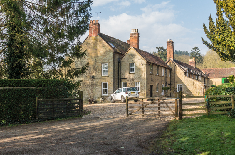
The village is characterized by its traditional stone cottages and historic buildings, which give it a distinct and timeless atmosphere. The centerpiece of the village is the St. Andrew's Church, a Grade II listed building that dates back to the 12th century. This stunning church boasts a unique architectural style and features several notable medieval elements.
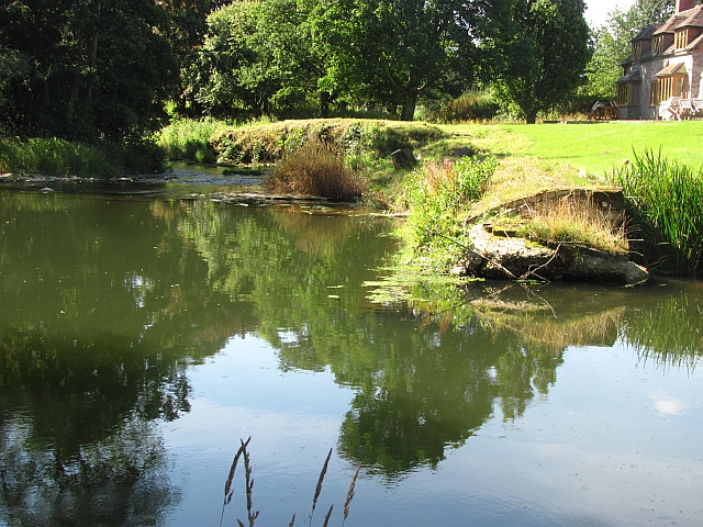
Surrounded by rolling hills, Ashford Bowdler offers breathtaking views and ample opportunities for outdoor activities. The nearby Clee Hills, part of the Shropshire Hills Area of Outstanding Natural Beauty, provide a stunning backdrop for hiking, cycling, and exploring the countryside. The village also benefits from its proximity to the River Teme, which offers opportunities for fishing and leisurely walks along its banks.
Despite its small size, Ashford Bowdler has a strong sense of community and a range of amenities. The village has a well-regarded primary school, a village hall, and a local pub that serves as a gathering place for residents and visitors alike.
Overall, Ashford Bowdler is a charming and idyllic village that offers a peaceful retreat from the hustle and bustle of modern life. With its historic buildings, natural beauty, and welcoming community, it is a hidden gem in the heart of Shropshire.
If you have any feedback on the listing, please let us know in the comments section below.
Ashford Bowdler Images
Images are sourced within 2km of 52.335416/-2.712391 or Grid Reference SO5171. Thanks to Geograph Open Source API. All images are credited.


Ashford Bowdler is located at Grid Ref: SO5171 (Lat: 52.335416, Lng: -2.712391)
Unitary Authority: Shropshire
Police Authority: West Mercia
What 3 Words
///shape.splice.screeches. Near Ludlow, Shropshire
Nearby Locations
Related Wikis

Ashford Bowdler
Ashford Bowdler is a small village and civil parish in south Shropshire, England, near the county border with Herefordshire. == Geography == The parish...
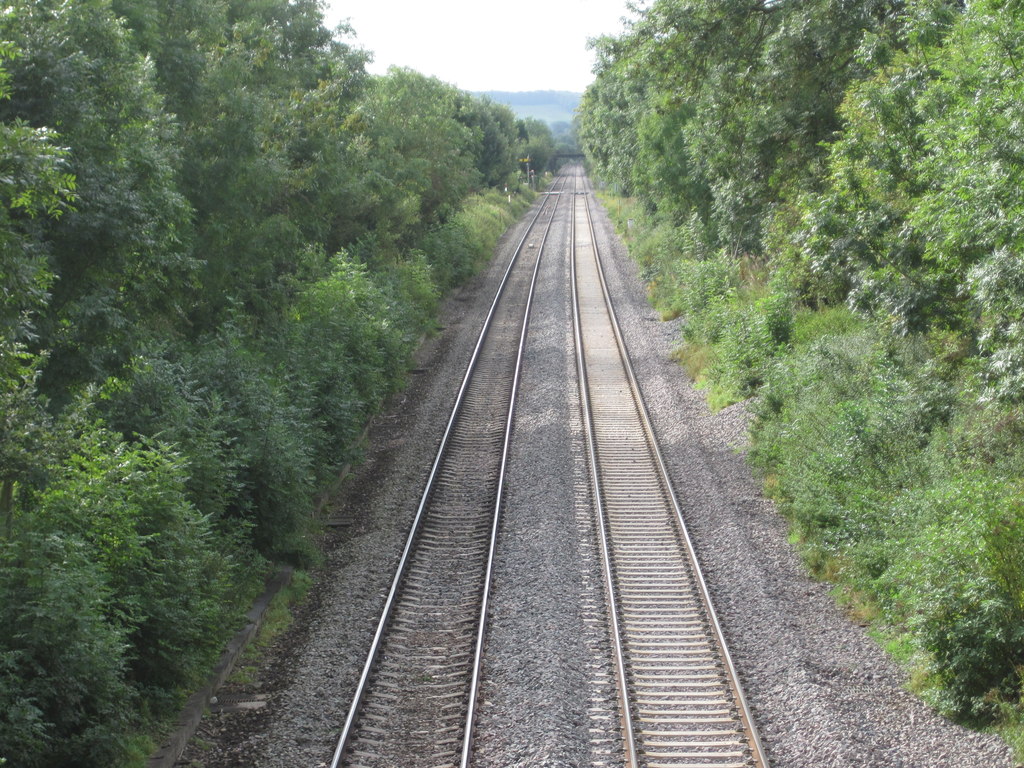
Ashford Bowdler railway station
Ashford Bowdler railway station was a station in Ashford Bowdler, Shropshire, England. The station was opened in 1854 and closed in 1855 == References ==

Ashford Carbonell
Ashford Carbonell (or Ashford Carbonel) is a village and civil parish in south Shropshire, England, near the county border with Herefordshire. The village...
Overton, Shropshire
Overton is a small village in south Shropshire, England. Overton lies west of the River Teme, 1.5 miles (2.4 km) south of the town of Ludlow and close...
Nearby Amenities
Located within 500m of 52.335416,-2.712391Have you been to Ashford Bowdler?
Leave your review of Ashford Bowdler below (or comments, questions and feedback).