Ashford
Settlement in Kent Ashford
England
Ashford

Ashford is a town located in the county of Kent, in southeastern England. Situated on the River Great Stour, it lies approximately 61 miles southeast of London. With a population of around 74,000 people, it is one of the largest towns in the county.
Historically, Ashford was a market town and a hub for the production of wool and cloth. Today, it has transformed into a thriving commercial and transportation center. The town benefits from excellent transport links, including a high-speed rail connection to London, which allows commuters to reach the capital in just 38 minutes.
Ashford boasts a rich history, evident in its architecture and landmarks. One notable historic site is the Ashford Borough Museum, housed in a 17th-century Grade II listed building, which showcases the town's heritage. Additionally, St. Mary's Church, a stunning medieval church with a 15th-century tower, is a prominent feature of the town's skyline.
In terms of amenities, Ashford offers a wide range of shopping options, from independent boutiques to well-known retail chains. The town center is home to the County Square Shopping Centre, which houses numerous shops, cafes, and restaurants. For nature enthusiasts, Ashford is surrounded by picturesque countryside, providing opportunities for outdoor activities such as walking, cycling, and birdwatching.
Overall, Ashford combines its historical charm with modern conveniences, making it an attractive place to live, work, and visit in the heart of Kent.
If you have any feedback on the listing, please let us know in the comments section below.
Ashford Images
Images are sourced within 2km of 51.142897/0.848205 or Grid Reference TQ9942. Thanks to Geograph Open Source API. All images are credited.


Ashford is located at Grid Ref: TQ9942 (Lat: 51.142897, Lng: 0.848205)
Administrative County: Kent
District: Ashford
Police Authority: Kent
What 3 Words
///punch.still.civil. Near Ashford, Kent
Nearby Locations
Related Wikis
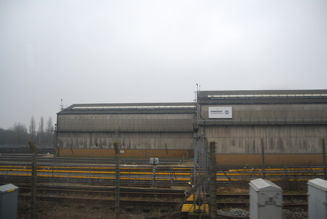
Chart Leacon TMD
Chart Leacon Traction and Rolling Stock Maintenance Depot was at one time a railway depot located in Ashford, Kent, England. The depot was situated 1.5...

Great Chart
Great Chart is a village and former civil parish, now in the parish of Great Chart with Singleton, in the Ashford borough of Kent, England. The parish...

Great Chart with Singleton
Great Chart with Singleton is a civil parish in the Ashford district of Kent, England. The parish population is mostly concentrated in the ancient village...
Singleton, Kent
Singleton is a suburb of Ashford in Kent, South East England, first developed in the 1980s. Although Singleton forms a contiguous urban area with the large...
Ashford College
Ashford College is a further education college in Ashford, Kent founded in August 2014. It has been run by EKC Group since April 2020, when it was acquired...
Godinton
Godinton (sometimes known as Godinton Park) is a suburb of Ashford, Kent in England, with its stately home Godinton House within its outskirts. Godinton...
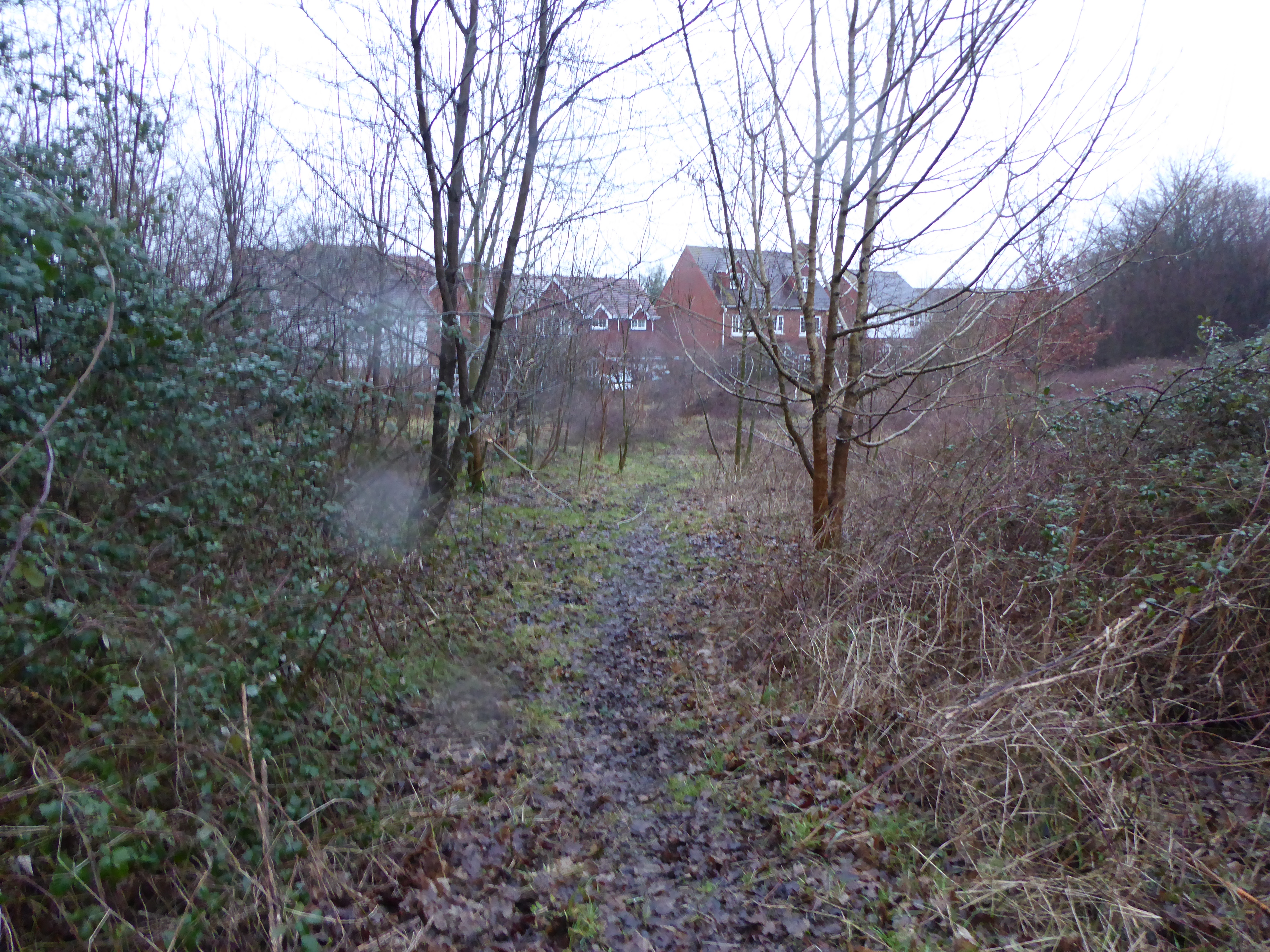
Ashford Community Woodland
Ashford Community Woodland is a 13.8-hectare (34-acre) Local Nature Reserve on the western outskirts of Ashford in Kent. It is owned and managed by Ashford...
Stanhope, Kent
Stanhope is a civil parish and suburb of Ashford in the Borough of Ashford in Kent, England. It was built in the 1960s on the southern edge of the town...
Nearby Amenities
Located within 500m of 51.142897,0.848205Have you been to Ashford?
Leave your review of Ashford below (or comments, questions and feedback).