Ashford
Settlement in Middlesex Spelthorne
England
Ashford
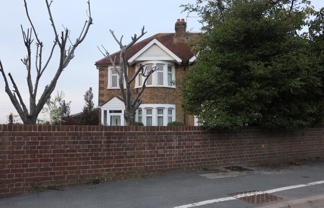
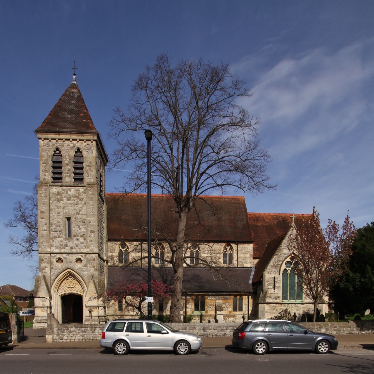
Ashford is a suburban town in the borough of Spelthorne, located in the county of Surrey, England. Situated approximately 18 miles southwest of central London, it lies on the banks of the River Ash and is bordered by the towns of Staines-upon-Thames and Sunbury-on-Thames.
Ashford has a rich history, with evidence of human settlement dating back to the Iron Age. In the past, it was primarily an agricultural village, but with the arrival of the railway in the mid-19th century, it experienced significant growth and transformed into a commuter town.
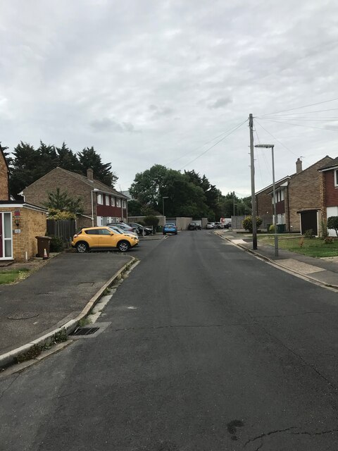
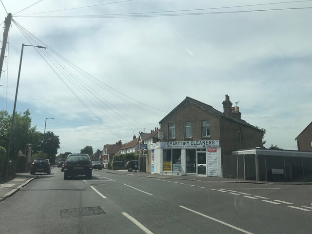
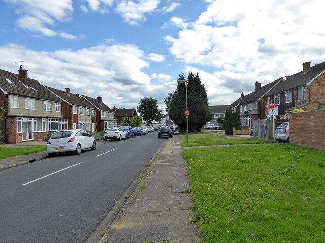
Today, Ashford is a bustling and vibrant community with a population of around 28,000 people. It offers a range of amenities and services, including shops, restaurants, pubs, and recreational facilities. The town center is home to a variety of retail outlets, including several supermarkets, providing residents with convenient access to everyday essentials.
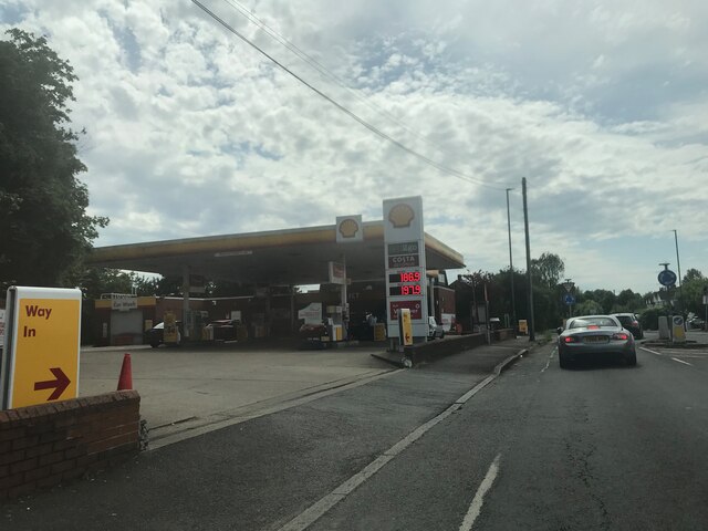
The transportation links in Ashford are well-developed, making it an attractive location for commuters. The town has its own railway station, which provides frequent services to London Waterloo, Richmond, and Windsor. Additionally, it is conveniently located near major road networks such as the M3 and M25, offering easy access to other parts of Surrey and beyond.
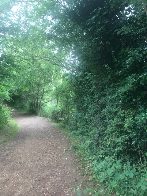
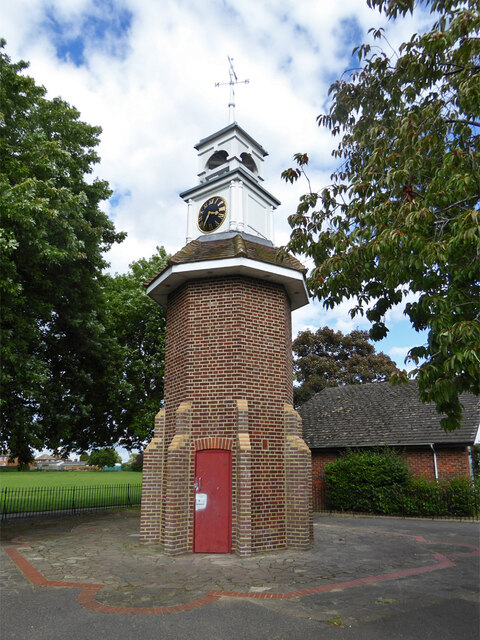
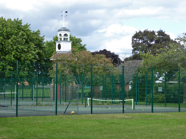
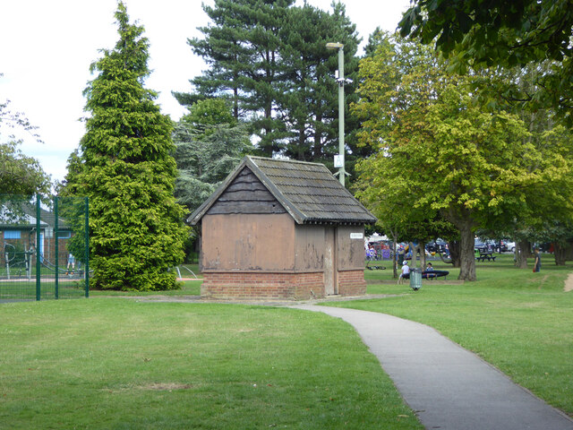
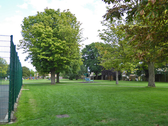
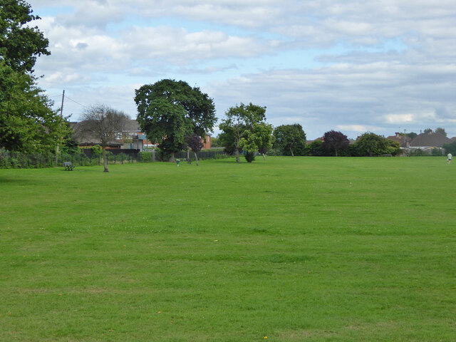
Ashford is also known for its green spaces and parks, providing residents with recreational opportunities. The popular Spelthorne Leisure Centre offers a range of sports facilities, including swimming pools, a gym, and various fitness classes.
Overall, Ashford offers a pleasant and convenient living environment, combining the advantages of suburban life with easy access to the amenities and opportunities of London.
If you have any feedback on the listing, please let us know in the comments section below.
Ashford Images
Images are sourced within 2km of 51.43507/-0.463501 or Grid Reference TQ0671. Thanks to Geograph Open Source API. All images are credited.


Ashford is located at Grid Ref: TQ0671 (Lat: 51.43507, Lng: -0.463501)
Administrative County: Surrey
District: Spelthorne
Police Authority: Surrey
What 3 Words
///issues.stick.odds. Near Ashford, Surrey
Nearby Locations
Related Wikis
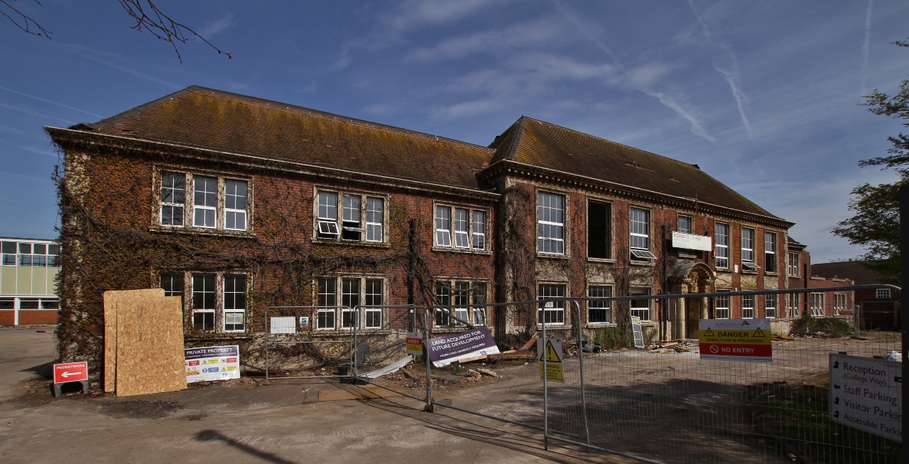
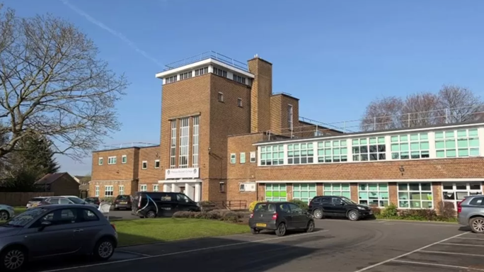
Spelthorne College
Spelthorne College was a single-campus sixth form college on Church Road, Ashford, Surrey, England. It was formed in 1975 as a successor to Ashford Sixth...
Ashford, Surrey
Ashford is a town in Surrey, England, 14 mi (23 km) west of central London. Its name derives from a crossing point of the River Ash, a distributary of...

Ashford railway station (Surrey)
Ashford railway station serves the town of Ashford, Surrey, in the borough of Spelthorne in South East England. It is 17 miles 40 chains (28.2 km) down...

St David's School, Middlesex
St David's School was an independent girls' school in Ashford (historically in Middlesex, but from 1965 in the district of Spelthorne in Surrey), England...
Thomas Knyvett College
Thomas Knyvett College () is a medium sized mixed school with Academy Converter status (conversion to an Academy is underway during the 2014–2015 academic...

Ashford Hospital
Ashford Hospital is a general hospital in Ashford, Surrey. It is managed by the Ashford and St Peter's Hospitals NHS Foundation Trust. == History == The...

Bedfont Lakes Country Park
Bedfont Lakes Country Park is a 72.5-hectare Local Nature Reserve and Site of Metropolitan Importance for Nature Conservation in Bedfont in the London...

HM Prison Bronzefield
HMP Bronzefield is an adult and young offender female prison located on the outskirts of Ashford in Surrey, England. Bronzefield is the only purpose-built...
Nearby Amenities
Located within 500m of 51.43507,-0.463501Have you been to Ashford?
Leave your review of Ashford below (or comments, questions and feedback).