Ashford Carbonell
Settlement in Shropshire
England
Ashford Carbonell

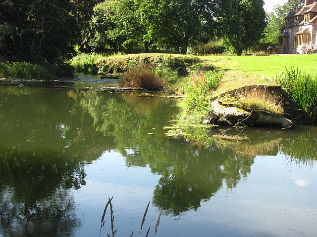
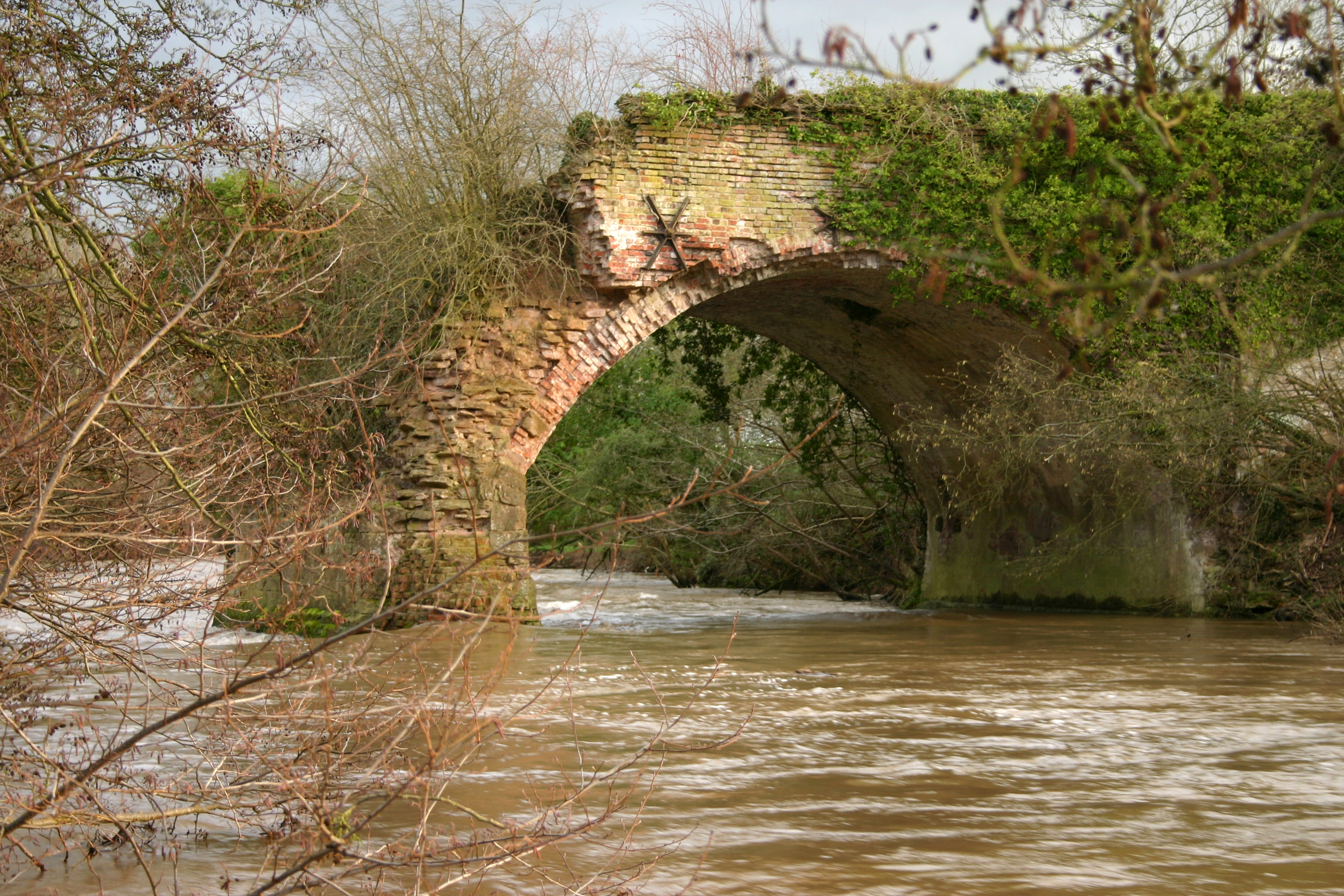
Ashford Carbonell is a picturesque village located in the county of Shropshire, England. Situated on the banks of the River Teme, it is surrounded by rolling hills and lush green countryside, making it a popular destination for nature lovers and outdoor enthusiasts.
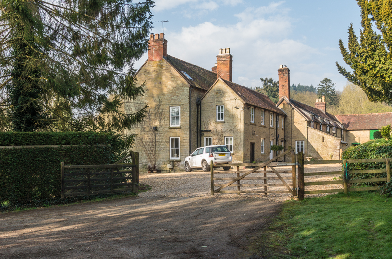
The village itself is small, with a population of around 400 residents. It has a charming and tranquil atmosphere, with its well-preserved historic buildings and traditional English cottages adding to its appeal. The village church, St. Mary the Virgin, stands prominently in the center and is a prominent landmark.
The River Teme, which flows through Ashford Carbonell, offers opportunities for fishing and boating. The village is also well-known for its picturesque walks and hiking trails, with the Shropshire Hills Area of Outstanding Natural Beauty a short distance away. Visitors can enjoy exploring the surrounding countryside, taking in breathtaking views and discovering the diverse flora and fauna of the region.
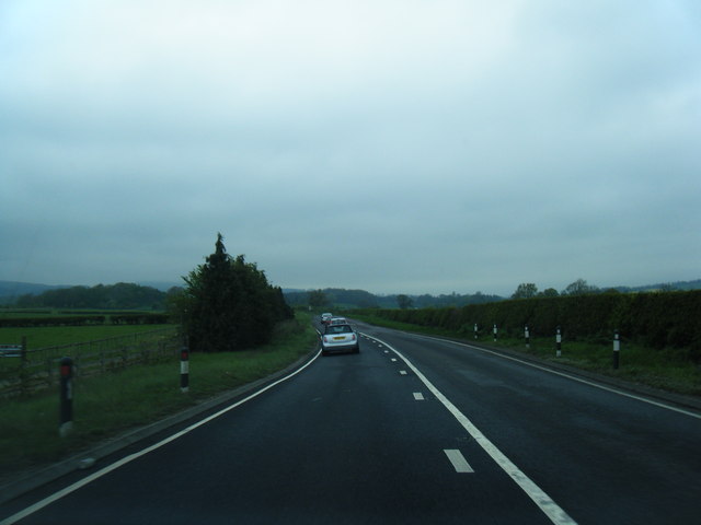
In terms of amenities, Ashford Carbonell is home to a community hall and a local pub, providing a gathering place for residents and visitors alike. The nearest town, Ludlow, is just a few miles away and offers a wider range of services, including shops, restaurants, and cultural attractions.
Overall, Ashford Carbonell is a tranquil and idyllic village, offering a peaceful retreat for those seeking a break from the hustle and bustle of city life. Its natural beauty and historic charm make it a true gem in the heart of rural Shropshire.
If you have any feedback on the listing, please let us know in the comments section below.
Ashford Carbonell Images
Images are sourced within 2km of 52.336387/-2.7024732 or Grid Reference SO5271. Thanks to Geograph Open Source API. All images are credited.


Ashford Carbonell is located at Grid Ref: SO5271 (Lat: 52.336387, Lng: -2.7024732)
Unitary Authority: Shropshire
Police Authority: West Mercia
What 3 Words
///stew.charities.evoked. Near Ludlow, Shropshire
Nearby Locations
Related Wikis
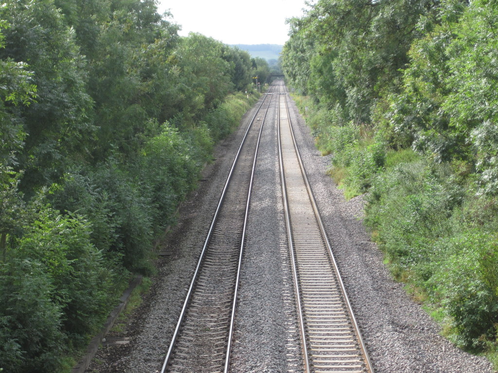
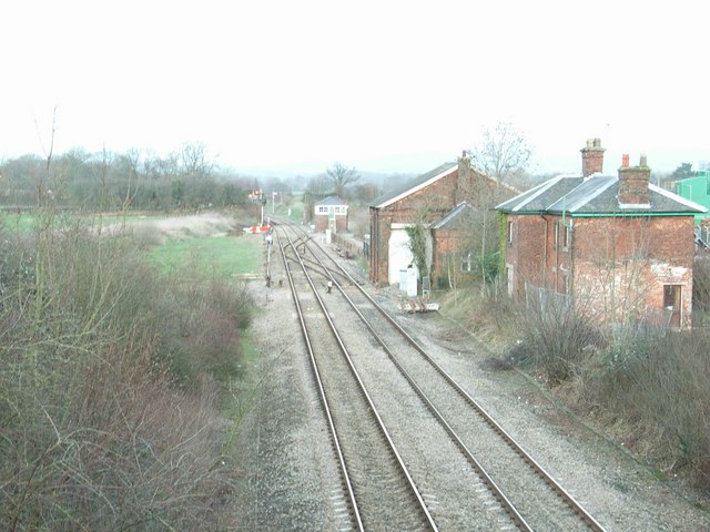
Ashford Bowdler railway station
Ashford Bowdler railway station was a station in Ashford Bowdler, Shropshire, England. The station was opened in 1854 and closed in 1855 == References ==

Ashford Carbonell
Ashford Carbonell (or Ashford Carbonel) is a village and civil parish in south Shropshire, England, near the county border with Herefordshire. The village...

Ashford Bowdler
Ashford Bowdler is a small village and civil parish in south Shropshire, England, near the county border with Herefordshire. == Geography == The parish...
Overton, Shropshire
Overton is a small village in south Shropshire, England. Overton lies west of the River Teme, 1.5 miles (2.4 km) south of the town of Ludlow and close...

Moor Park School
Moor Park School is a coeducational preparatory day and boarding school in the village of Richard's Castle, near Ludlow, England. It educates about 300...

Woofferton
Woofferton is a village to the south of Ludlow, in Shropshire, England. It is one of Shropshire's most southerly villages and lies on the border with Herefordshire...
Leominster Canal
The Leominster Canal was an English canal which ran for just over 18 miles from Mamble to Leominster through 16 locks and a number of tunnels, some of...
Woofferton railway station
Woofferton railway station was a station and railway junction near Woofferton, Shropshire, England, where the Tenbury Railway joined the Shrewsbury and...
Nearby Amenities
Located within 500m of 52.336387,-2.7024732Have you been to Ashford Carbonell?
Leave your review of Ashford Carbonell below (or comments, questions and feedback).