Ashford Carbonel
Civil Parish in Shropshire
England
Ashford Carbonel

Ashford Carbonel is a civil parish located in the county of Shropshire, England. Situated in the West Midlands region, this rural area covers an approximate area of 7.7 square kilometers. The parish is nestled in the beautiful countryside, offering picturesque landscapes and a tranquil environment.
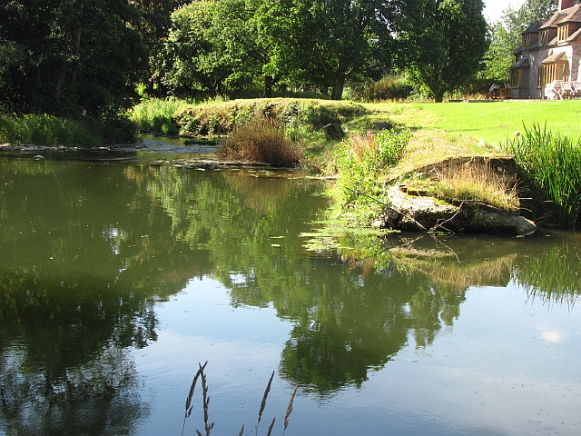
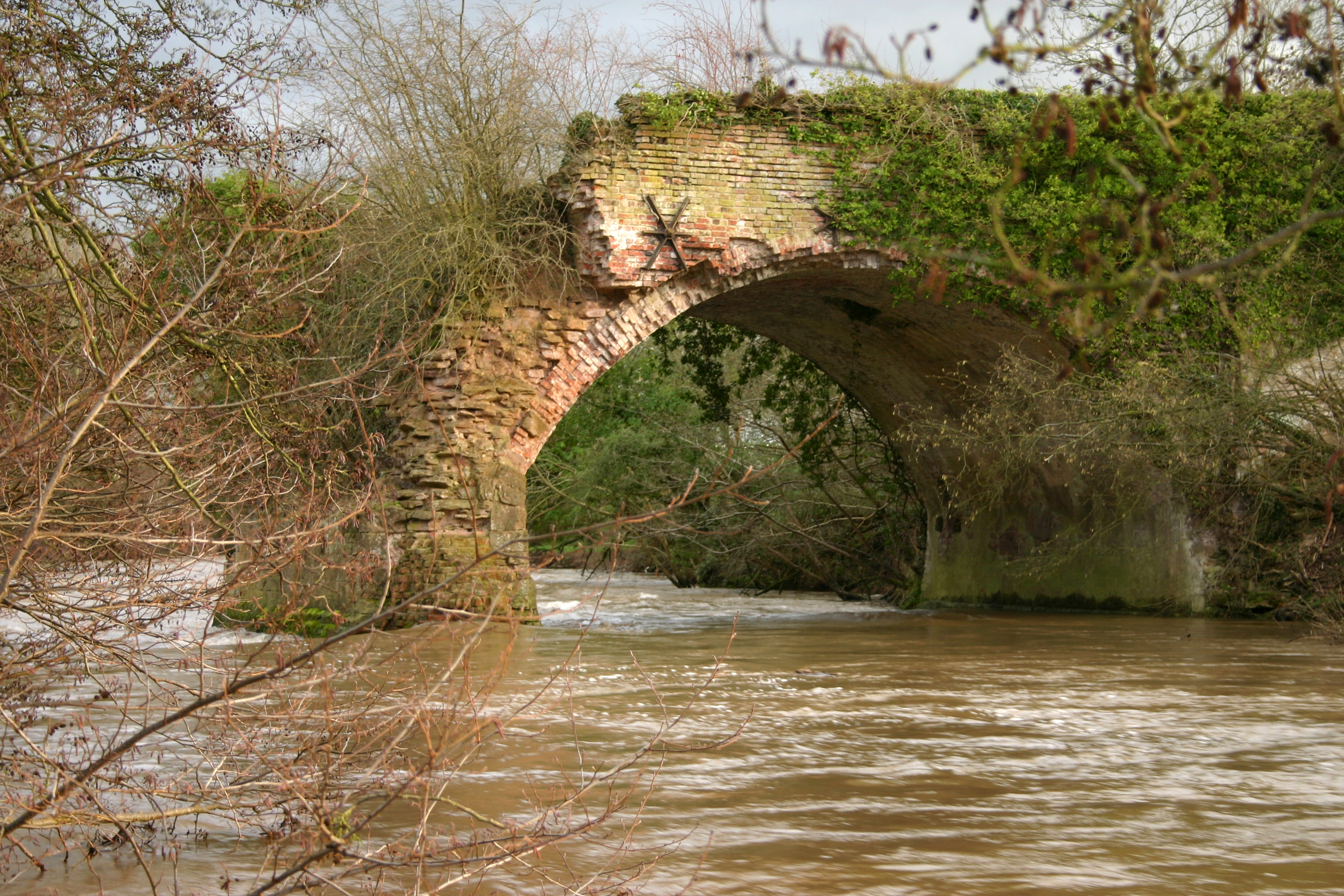
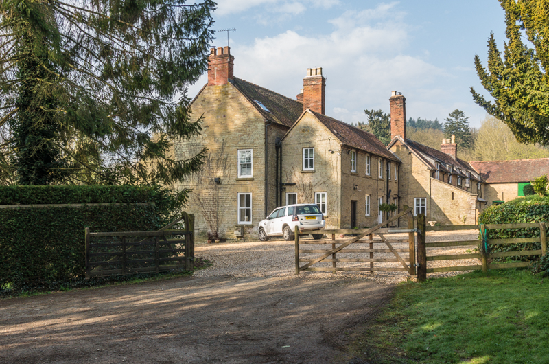
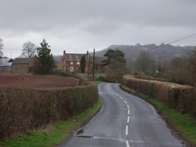
The village of Ashford Carbonel itself is small but charming, with a population of around 400 residents. It is located about 12 kilometers south of the county town of Shrewsbury. The River Teme flows through the parish, adding to the scenic beauty of the area.
The parish has a rich history, with evidence of human habitation dating back to the Neolithic era. The area has seen various archaeological finds, including Bronze Age burial sites and Roman artifacts. The name "Ashford Carbonel" refers to the presence of an ash tree ford and the Carbonel family who once held land in the area.
The village is known for its traditional architecture, with many buildings constructed from local stone. St Mary's Church, a Grade II listed building, is a prominent feature of the village. The church dates back to the 12th century and has a Norman tower.
Ashford Carbonel offers a close-knit community atmosphere, with various amenities and facilities to cater to the needs of its residents. These include a village hall, a pub, and a primary school. The surrounding countryside provides ample opportunities for outdoor activities such as walking, cycling, and fishing.
Overall, Ashford Carbonel is a charming and historical parish, offering a peaceful and idyllic lifestyle in the heart of the Shropshire countryside.
If you have any feedback on the listing, please let us know in the comments section below.
Ashford Carbonel Images
Images are sourced within 2km of 52.335269/-2.691695 or Grid Reference SO5271. Thanks to Geograph Open Source API. All images are credited.


Ashford Carbonel is located at Grid Ref: SO5271 (Lat: 52.335269, Lng: -2.691695)
Unitary Authority: Shropshire
Police Authority: West Mercia
What 3 Words
///purple.credible.vibrating. Near Ludlow, Shropshire
Nearby Locations
Related Wikis

Ashford Carbonell
Ashford Carbonell (or Ashford Carbonel) is a village and civil parish in south Shropshire, England, near the county border with Herefordshire. The village...
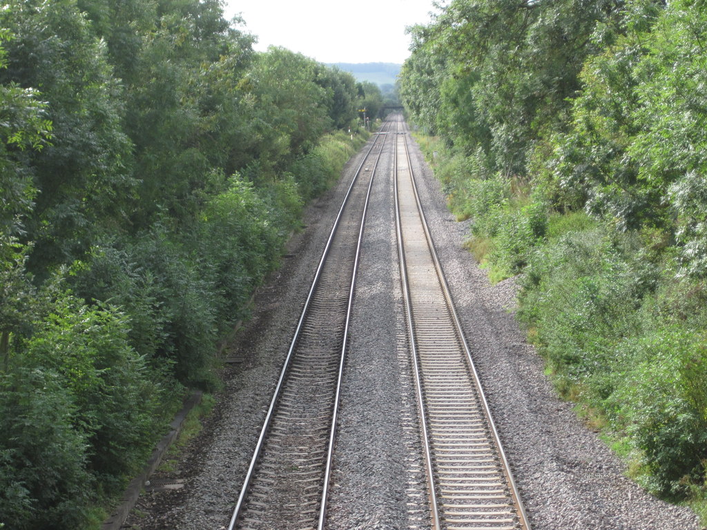
Ashford Bowdler railway station
Ashford Bowdler railway station was a station in Ashford Bowdler, Shropshire, England. The station was opened in 1854 and closed in 1855 == References ==

Ashford Bowdler
Ashford Bowdler is a small village and civil parish in south Shropshire, England, near the county border with Herefordshire. == Geography == The parish...
Leominster Canal
The Leominster Canal was an English canal which ran for just over 18 miles from Mamble to Leominster through 16 locks and a number of tunnels, some of...
Overton, Shropshire
Overton is a small village in south Shropshire, England. Overton lies west of the River Teme, 1.5 miles (2.4 km) south of the town of Ludlow and close...

Woofferton
Woofferton is a village to the south of Ludlow, in Shropshire, England. It is one of Shropshire's most southerly villages and lies on the border with Herefordshire...

Moor Park School
Moor Park School is a coeducational preparatory day and boarding school in the village of Richard's Castle, near Ludlow, England. It educates about 300...
Caynham
Caynham is a village and civil parish in south Shropshire, England. The parish lies on the River Teme. It can be accessed via the A4117 or the A49 roads...
Related Videos

Westbrook Park - Country Holiday Park 2020 (part 1).
We had a fantastic week in this park. Please look around with us on this beautiful landscape and park. Address: Westbrook Park ...

Our first trip away in 2023
Our first trip away in 2023 at Ludlow Touring park.

Ludlow Touring & Holiday Home Park, Fifth Wheel Adventures UK
Set near the charming medieval town of Ludlow, the park has been carefully developed from a green field site, with great attention ...

Westbrook Park - Country Holiday Park 2020 (part 2).
We had a fantastic week in this park. Please look around with us on this beautiful landscape and park. Address: Westbrook Park ...
Have you been to Ashford Carbonel?
Leave your review of Ashford Carbonel below (or comments, questions and feedback).