Ashford Bowdler
Civil Parish in Shropshire
England
Ashford Bowdler

Ashford Bowdler is a civil parish located in the county of Shropshire, England. Situated approximately 4 miles south of the town of Ludlow, it covers an area of about 4.5 square kilometers. The parish is nestled in a rural setting, surrounded by picturesque countryside and rolling hills.
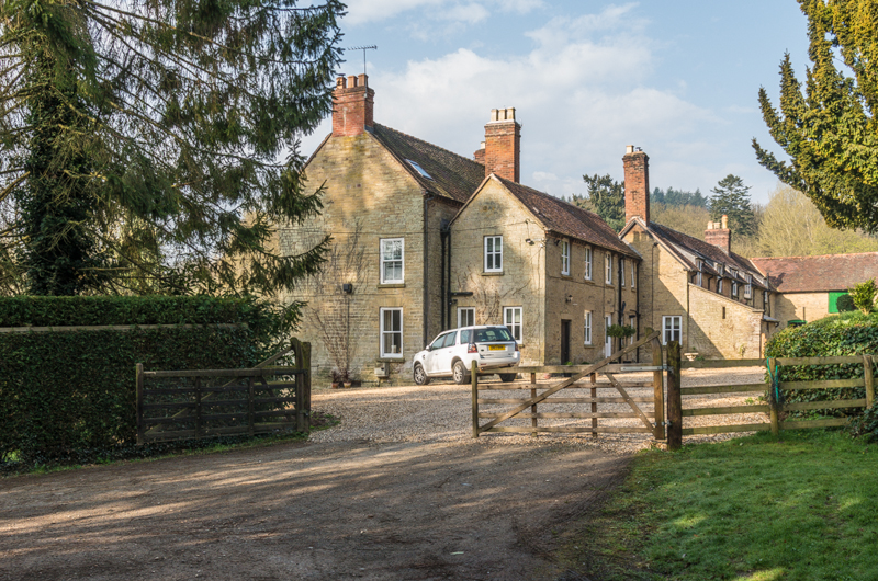
Ashford Bowdler is home to a small community of residents, with a population of around 200 people. The parish consists mainly of residential properties, including a mix of traditional cottages and more modern houses. The village itself has a charming and peaceful atmosphere, offering a tranquil escape from the hustle and bustle of larger towns and cities.
Although small in size, Ashford Bowdler has a rich history. The parish church, dedicated to St. Andrew, dates back to the 12th century and is a Grade I listed building. The church is known for its beautiful stained glass windows and historical architecture, attracting visitors interested in local heritage.
In terms of amenities, Ashford Bowdler has limited facilities. There is a village hall that serves as a community hub, hosting various events and activities throughout the year. However, for everyday necessities, residents often travel to nearby towns such as Ludlow, where they can find a wider range of shops, schools, and healthcare services.
Overall, Ashford Bowdler offers a peaceful and close-knit community in a picturesque rural setting, making it an attractive place to live for those seeking a quieter lifestyle in the beautiful Shropshire countryside.
If you have any feedback on the listing, please let us know in the comments section below.
Ashford Bowdler Images
Images are sourced within 2km of 52.329561/-2.71262 or Grid Reference SO5170. Thanks to Geograph Open Source API. All images are credited.


Ashford Bowdler is located at Grid Ref: SO5170 (Lat: 52.329561, Lng: -2.71262)
Unitary Authority: Shropshire
Police Authority: West Mercia
What 3 Words
///rails.midwinter.slugs. Near Orleton, Herefordshire
Nearby Locations
Related Wikis

Ashford Bowdler
Ashford Bowdler is a small village and civil parish in south Shropshire, England, near the county border with Herefordshire. == Geography == The parish...
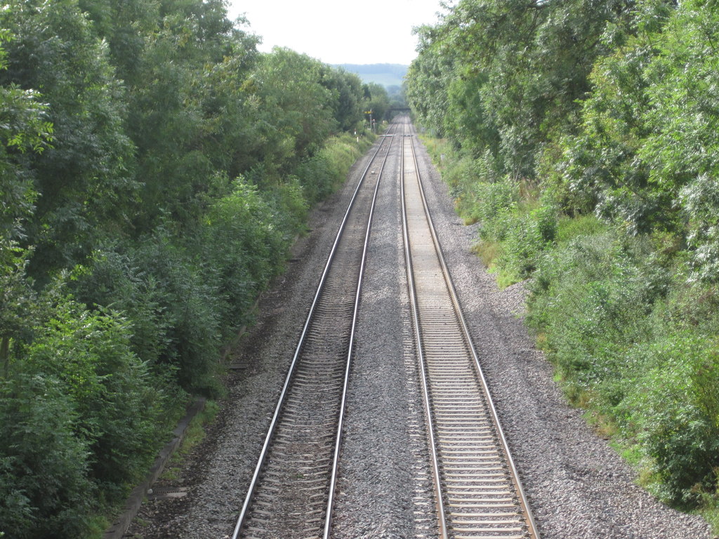
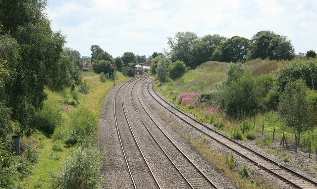
Ashford Bowdler railway station
Ashford Bowdler railway station was a station in Ashford Bowdler, Shropshire, England. The station was opened in 1854 and closed in 1855 == References ==

Ashford Carbonell
Ashford Carbonell (or Ashford Carbonel) is a village and civil parish in south Shropshire, England, near the county border with Herefordshire. The village...

Moor Park School
Moor Park School is a coeducational preparatory day and boarding school in the village of Richard's Castle, near Ludlow, England. It educates about 300...
Overton, Shropshire
Overton is a small village in south Shropshire, England. Overton lies west of the River Teme, 1.5 miles (2.4 km) south of the town of Ludlow and close...
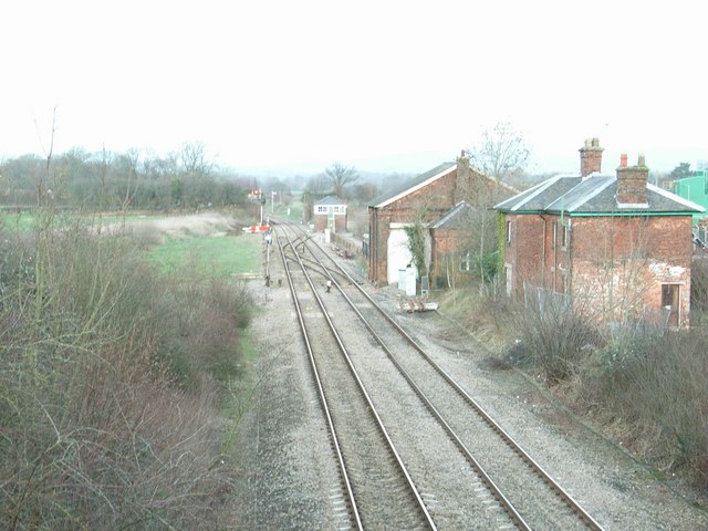
Woofferton railway station
Woofferton railway station was a station and railway junction near Woofferton, Shropshire, England, where the Tenbury Railway joined the Shrewsbury and...

Woofferton
Woofferton is a village to the south of Ludlow, in Shropshire, England. It is one of Shropshire's most southerly villages and lies on the border with Herefordshire...
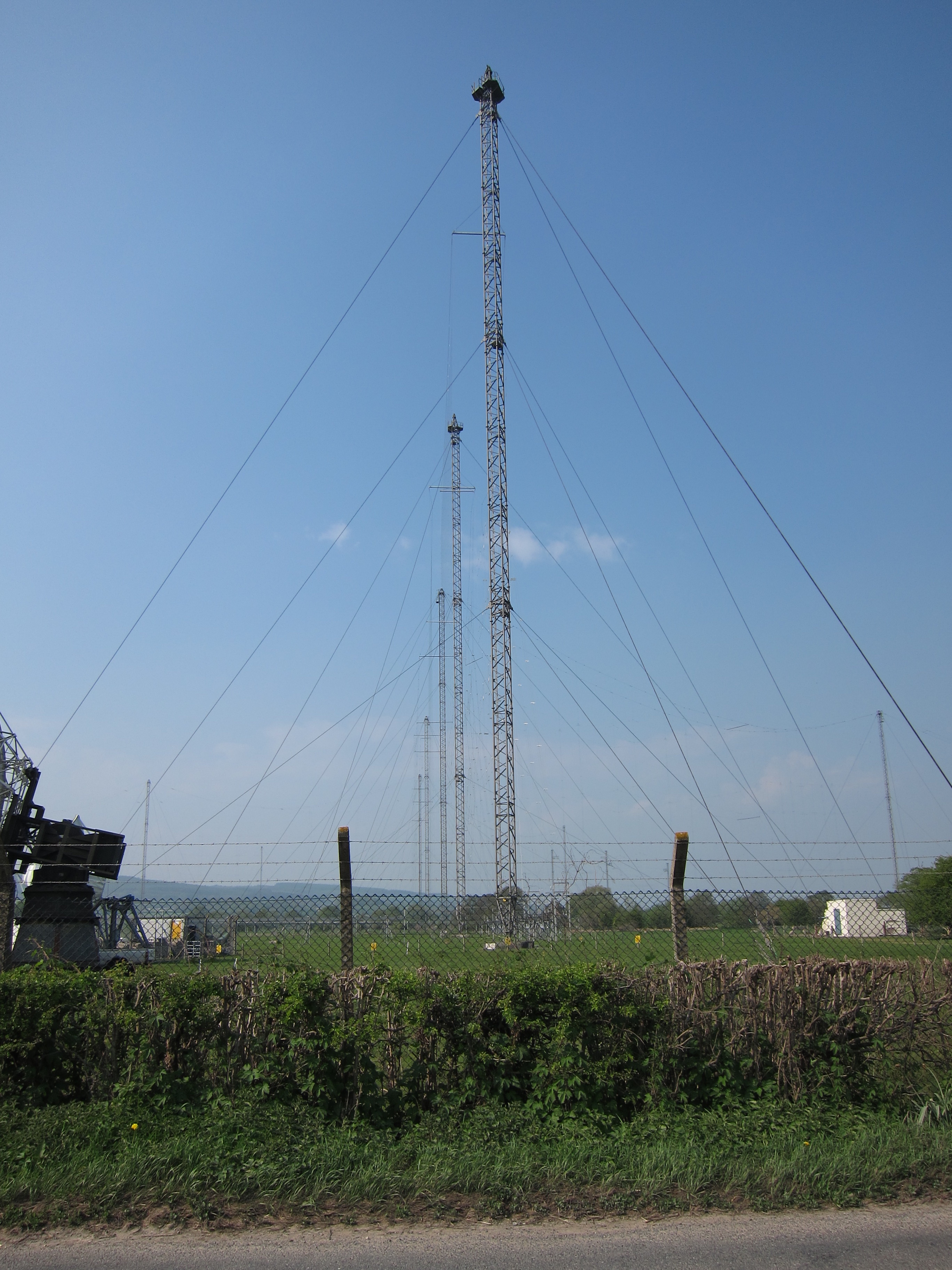
Woofferton transmitting station
The Woofferton transmitting station is owned and operated by Encompass Digital Media, as one of the BBC's assets which were handed over as part of the...
Nearby Amenities
Located within 500m of 52.329561,-2.71262Have you been to Ashford Bowdler?
Leave your review of Ashford Bowdler below (or comments, questions and feedback).