Ashford Covert
Wood, Forest in Shropshire
England
Ashford Covert

Ashford Covert is a picturesque woodland located in Shropshire, a county in the West Midlands region of England. Situated near the village of Ashford Bowdler, this forested area covers approximately 100 acres of land, offering visitors a peaceful and natural escape from the hustle and bustle of urban life.
The woodland is characterized by its diverse range of trees, including oak, beech, birch, and pine, creating a rich and vibrant ecosystem. Ashford Covert is particularly renowned for its ancient oak trees, some of which are estimated to be several hundred years old, providing an enchanting and timeless atmosphere. The forest floor is carpeted with a variety of flora, such as bluebells, wild garlic, and ferns, adding to the area's beauty and biodiversity.
The woodland is crisscrossed with a network of well-maintained footpaths, allowing visitors to explore its natural wonders. These trails vary in length and difficulty, catering to both casual strollers and more adventurous hikers. The paths meander through the forest, leading visitors to tranquil glades, babbling brooks, and hidden ponds, providing ample opportunities for wildlife spotting and birdwatching.
Ashford Covert is a haven for wildlife, with an array of animals and birds calling it home. Deer, foxes, badgers, and rabbits can often be spotted among the trees, while bird enthusiasts may catch glimpses of woodpeckers, owls, and various songbirds.
Overall, Ashford Covert offers visitors a chance to immerse themselves in the beauty of nature. With its ancient trees, diverse wildlife, and serene atmosphere, this woodland is a true gem for nature lovers and those seeking a tranquil retreat in the heart of Shropshire.
If you have any feedback on the listing, please let us know in the comments section below.
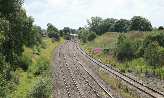
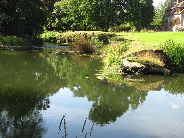
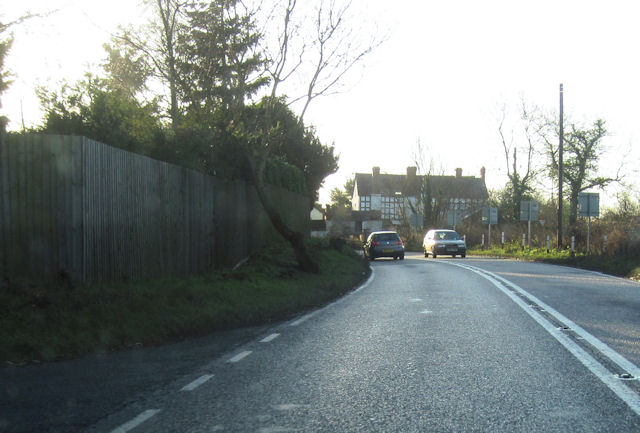
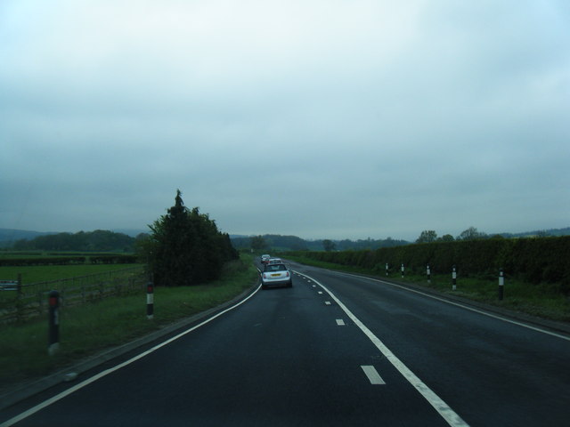
Ashford Covert Images
Images are sourced within 2km of 52.331091/-2.7160956 or Grid Reference SO5170. Thanks to Geograph Open Source API. All images are credited.


Ashford Covert is located at Grid Ref: SO5170 (Lat: 52.331091, Lng: -2.7160956)
Unitary Authority: Shropshire
Police Authority: West Mercia
What 3 Words
///tastier.decimal.tested. Near Orleton, Herefordshire
Nearby Locations
Related Wikis

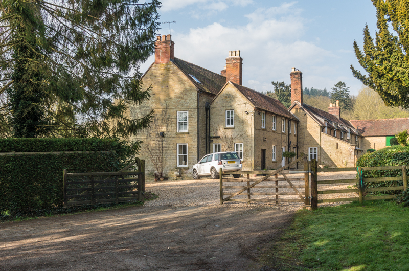
Ashford Bowdler
Ashford Bowdler is a small village and civil parish in south Shropshire, England, near the county border with Herefordshire. == Geography == The parish...
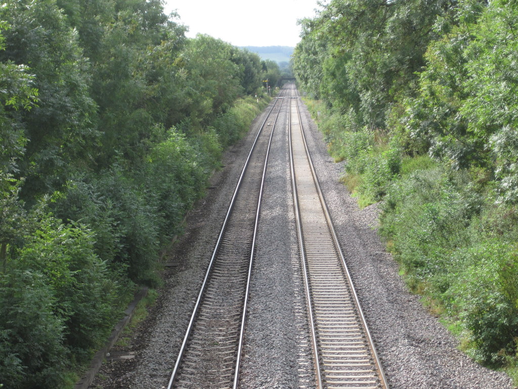
Ashford Bowdler railway station
Ashford Bowdler railway station was a station in Ashford Bowdler, Shropshire, England. The station was opened in 1854 and closed in 1855 == References ==

Ashford Carbonell
Ashford Carbonell (or Ashford Carbonel) is a village and civil parish in south Shropshire, England, near the county border with Herefordshire. The village...

Moor Park School
Moor Park School is a coeducational preparatory day and boarding school in the village of Richard's Castle, near Ludlow, England. It educates about 300...
Overton, Shropshire
Overton is a small village in south Shropshire, England. Overton lies west of the River Teme, 1.5 miles (2.4 km) south of the town of Ludlow and close...

Richard's Castle
Richard's Castle is a village, castle and two civil parishes on the border of the counties of Herefordshire and Shropshire in England. The Herefordshire...
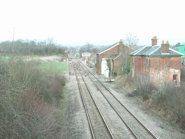
Woofferton railway station
Woofferton railway station was a station and railway junction near Woofferton, Shropshire, England, where the Tenbury Railway joined the Shrewsbury and...

Woofferton
Woofferton is a village to the south of Ludlow, in Shropshire, England. It is one of Shropshire's most southerly villages and lies on the border with Herefordshire...
Nearby Amenities
Located within 500m of 52.331091,-2.7160956Have you been to Ashford Covert?
Leave your review of Ashford Covert below (or comments, questions and feedback).