Longthroughs Wood

Wood, Forest in Westmorland South Lakeland

England

Longthroughs Wood

View of the Kent estuary From St. Anthony's Hill, Milnthorpe.
View of the Kent estuary Credit: Phil and Juliette Platt

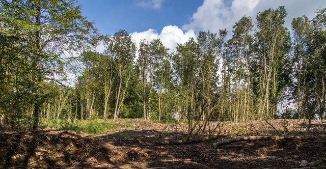
Longthroughs Wood is a picturesque forest located in the county of Westmorland, in the northwestern region of England. Covering an area of approximately 250 acres, this woodland reserve offers a tranquil and scenic escape for nature enthusiasts and outdoor adventurers alike.

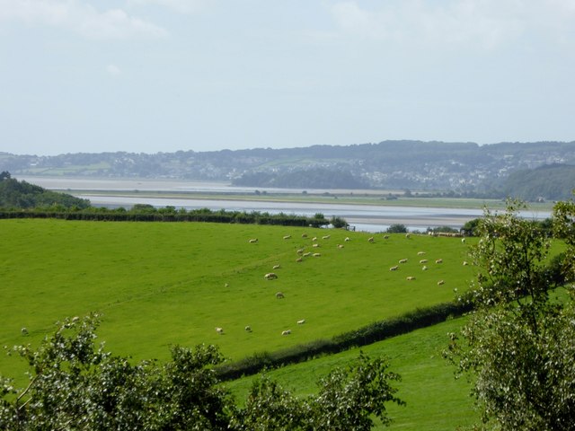
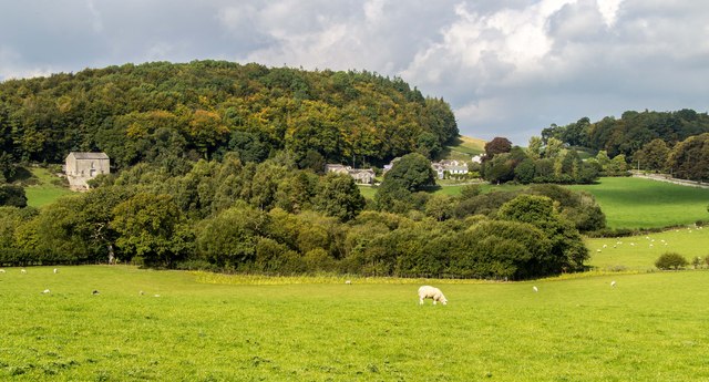
The wood is primarily made up of native broadleaf trees, including oak, beech, and ash, creating a diverse and rich habitat for a variety of plant and animal species. Its dense canopy provides shade and shelter, making it an ideal habitat for woodland birds such as woodpeckers, owls, and warblers. Additionally, the forest floor is adorned with a carpet of bluebells and wildflowers during the spring, adding a burst of color to the landscape.

Longthroughs Wood is crisscrossed with a network of well-maintained footpaths and trails, allowing visitors to explore its beauty at their own pace. These paths lead to hidden glades, babbling brooks, and peaceful clearings, offering numerous opportunities for picnicking, birdwatching, and photography.

The wood is also home to a small population of deer, which can occasionally be spotted grazing or roaming through the trees. Visitors are advised to maintain a respectful distance and observe these magnificent creatures from afar.

Overall, Longthroughs Wood is a true gem of Westmorland, offering a serene and enchanting environment for those seeking a connection with nature. Whether it be a leisurely stroll or an immersive woodland adventure, this forest is a must-visit destination for anyone seeking solace in the beauty of the natural world.

If you have any feedback on the listing, please let us know in the comments section below.

Longthroughs Wood Images

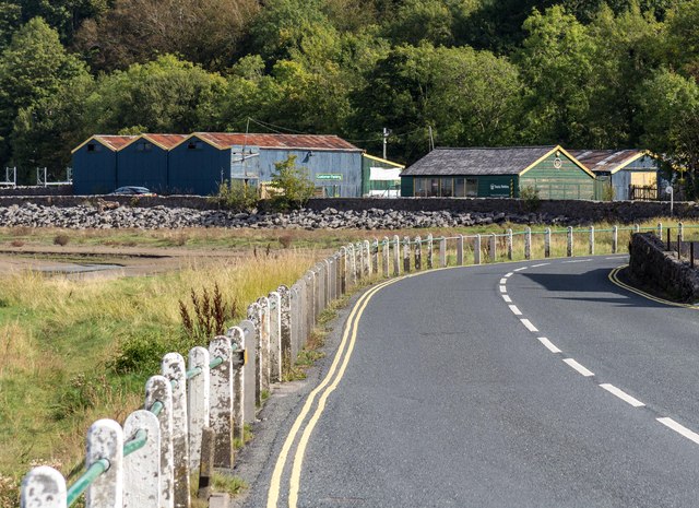
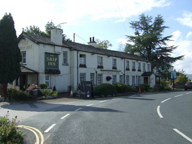
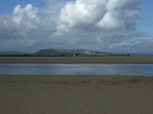
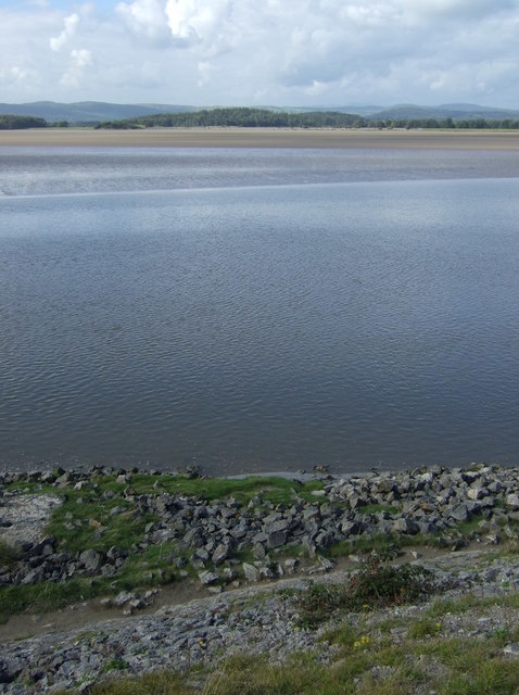
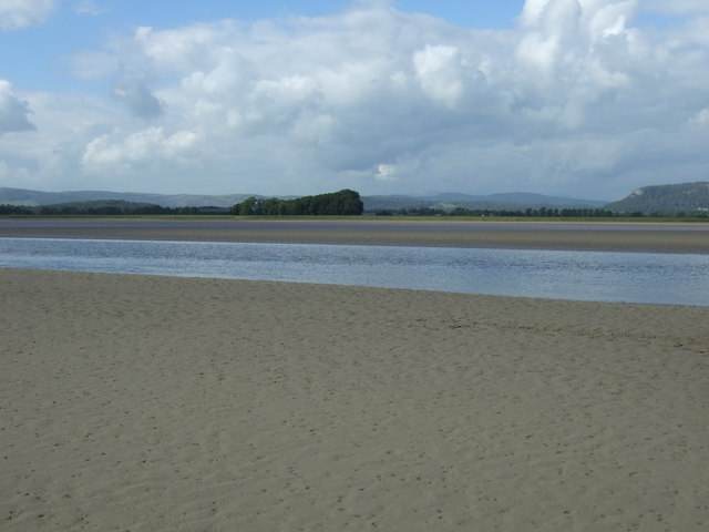
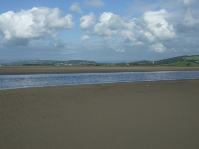
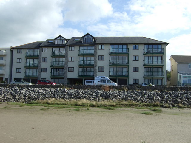
Images are sourced within 2km of 54.208334/-2.801936 or Grid Reference SD4779. Thanks to Geograph Open Source API. All images are credited.

View of the Kent estuary From St. Anthony's Hill, Milnthorpe.
View of the Kent estuary
From St. Anthony's Hill, Milnthorpe.
Park Road Flats on Park Road.
Park Road
Flats on Park Road.
Haverbrack
Haverbrack
Wray Cottages Visible after the felling of trees.
Wray Cottages
Visible after the felling of trees.
Storth Builders Merchants in Storth.
Storth
Builders Merchants in Storth.
The Ship Inn, Sandside
Sign for the Ship Inn, Sandside
Sands at Sandside The channel seems to have shifted from the position on the map, allowing easy access at low tide.
Sands at Sandside
The channel seems to have shifted from the position on the map, allowing easy access at low tide.
Restaurant on Park Road, Sandside
Bungalow on Park Road (B5292)
Cycling on Park Road (B5282) Heading north east.
Cycling on Park Road (B5282)
Heading north east.
Dropping down on the coastal road into Sandside Heading north east.
Dropping down on the coastal road into Sandside
Heading north east.
Kent Channel and Milnthorpe Sands
The Kent Channel and Milnthorpe Sands
The Kent Channel and Milnthorpe Sands The channel seems to have shifted from the position on the map, allowing easy access at low tide.
The Kent Channel and Milnthorpe Sands
The channel seems to have shifted from the position on the map, allowing easy access at low tide.
Apartments at Sandside On Park Road (B5282).
Apartments at Sandside
On Park Road (B5282).
Apartments at Sandside On Park Road (B5282).
Apartments at Sandside
On Park Road (B5282).
Restaurant on Park Road, Sandside
Show me another place!

Longthroughs Wood is located at Grid Ref: SD4779 (Lat: 54.208334, Lng: -2.801936)

Administrative County: Cumbria

District: South Lakeland

Police Authority: Cumbria

What 3 Words

///destroyer.angel.glossed. Near Arnside, Cumbria

Related Wikis

Carr Bank

Carr Bank is a small hamlet near Arnside, Cumbria, England. It is in the civil parish of Beetham in South Lakeland local government district. == References... ==

Hazelslack

Hazelslack is a hamlet in the South Lakeland district, in the English county of Cumbria. It is near the villages of Arnside and Storth. Nearby Hazelslack...

Dog Hole Cave

Dog Hole Cave is an archaeologically significant cave near Storth, Cumbria, England. Other names for the cave include Haverbrack Bank Pot, Haverbrack Dog...

Storth

Storth is a village near Arnside in Cumbria, England, situated near the border with Lancashire. It is in the historic county of Westmorland. The village...

Nearby Amenities

Located within 500m of 54.208334,-2.801936
Barrier: stile
Lat/Long: 54.2092302/-2.8007248
Barrier: stile
Lat/Long: 54.2045978/-2.8017855
Give Way
Direction: backward
Lat/Long: 54.2107255/-2.8057553
Give Way
Direction: forward
Lat/Long: 54.2106565/-2.8057268
Power: pole
Lat/Long: 54.2039943/-2.8026617
Power: pole
Lat/Long: 54.2042955/-2.8011435
Power: pole
Lat/Long: 54.2045935/-2.7997729
Power: pole
Lat/Long: 54.2048869/-2.7983192
Power: pole
Lat/Long: 54.2052007/-2.7968949
Post Box
Collection Times: Mo-Fr 16:45; Sa 10:30
Post Box Type: lamp
Ref: LA7 204
Lat/Long: 54.210673/-2.8055649
Bench
Backrest: yes
Lat/Long: 54.2106695/-2.8056033
Waste Basket
Lat/Long: 54.2108022/-2.8056009
Bench
Backrest: yes
Lat/Long: 54.2108204/-2.8056693
Give Way
Direction: backward
Lat/Long: 54.2109223/-2.8049726
Give Way
Direction: forward
Lat/Long: 54.2113288/-2.8037804
Give Way
Direction: forward
Lat/Long: 54.2121736/-2.8021271
Barrier: stile
Lat/Long: 54.2122361/-2.8007734
Generator Method: photovoltaic
Generator Orientation: south_west
Generator Output Electricity: yes
Generator Solar Modules: 10
Generator Source: solar
Generator Type: solar_photovoltaic_panel
Location: roof
Power: generator
Lat/Long: 54.2106937/-2.8066427
Generator Method: photovoltaic
Generator Orientation: south
Generator Output Electricity: yes
Generator Solar Modules: 13
Generator Source: solar
Generator Type: solar_photovoltaic_panel
Location: roof
Power: generator
Lat/Long: 54.2103704/-2.8076083
Generator Method: photovoltaic
Generator Orientation: south
Generator Output Electricity: yes
Generator Solar Modules: 16
Generator Source: solar
Generator Type: solar_photovoltaic_panel
Location: roof
Power: generator
Lat/Long: 54.2097433/-2.8075952
Generator Method: photovoltaic
Generator Orientation: south_west
Generator Output Electricity: yes
Generator Solar Modules: 8
Generator Source: solar
Generator Type: solar_photovoltaic_panel
Location: roof
Power: generator
Lat/Long: 54.2101851/-2.808275
Generator Method: solar_thermal
Generator Orientation: south_east
Generator Output Hot Water: yes
Generator Solar Modules: 3
Generator Source: solar
Generator Type: solar_thermal_collector
Location: roof
Power: generator
Lat/Long: 54.2102877/-2.8083392
Generator Method: photovoltaic
Generator Orientation: south
Generator Output Electricity: yes
Generator Solar Modules: 16
Generator Source: solar
Generator Type: solar_photovoltaic_panel
Location: roof
Power: generator
Lat/Long: 54.2123116/-2.8039698
Generator Method: photovoltaic
Generator Orientation: south
Generator Output Electricity: yes
Generator Solar Modules: 16
Generator Source: solar
Generator Type: solar_photovoltaic_panel
Location: roof
Power: generator
Lat/Long: 54.2072592/-2.8073747
Generator Method: solar_thermal
Generator Orientation: south_east
Generator Output Hot Water: yes
Generator Solar Modules: 2
Generator Source: solar
Generator Type: solar_thermal_collector
Location: roof
Power: generator
Lat/Long: 54.2069366/-2.8087024
Underlain Wood
Natural: wood
Lat/Long: 54.206965/-2.7954584
Information: guidepost
Tourism: information
Lat/Long: 54.2038691/-2.8025096
Power: pole
Lat/Long: 54.2089182/-2.8090804
Power: pole
Lat/Long: 54.2093139/-2.8073714
Power: pole
Lat/Long: 54.2096993/-2.8055899
Power: pole
Lat/Long: 54.2098297/-2.805001
Power: pole
Lat/Long: 54.210388/-2.8047129
Power: pole
Lat/Long: 54.210961/-2.8044197
The data included in this document is from www.openstreetmap.org. The data is made available under ODbL.

Have you been to Longthroughs Wood?

Leave your review of Longthroughs Wood below (or comments, questions and feedback).