The Woodlands
Wood, Forest in Herefordshire
England
The Woodlands

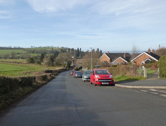
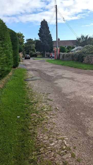
The Woodlands is a beautiful village nestled in the heart of Herefordshire, England. Situated amidst rolling hills and lush green meadows, it offers a picturesque setting for residents and visitors alike. The village gets its name from the dense woodlands that surround it, creating a serene and tranquil atmosphere.
One of the notable features of The Woodlands is its abundance of ancient oak trees, which have been standing proudly for centuries. These trees not only add to the scenic beauty but also provide a habitat for a variety of wildlife, making the village a haven for nature lovers. The woodlands are perfect for leisurely walks and exploring the flora and fauna that thrive within.
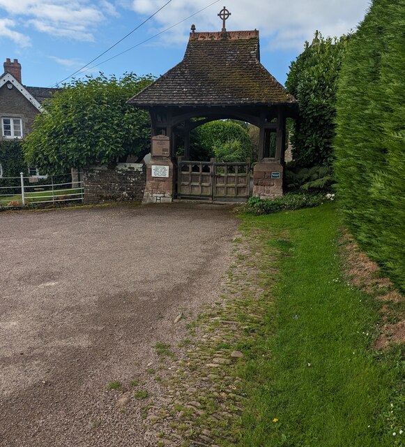
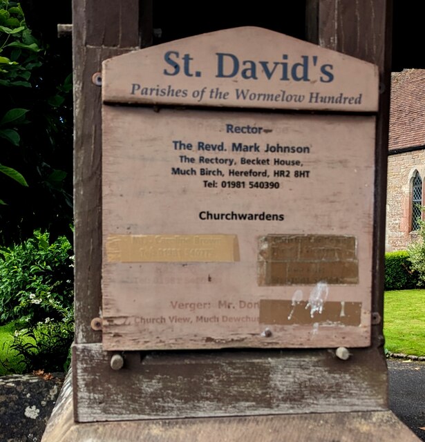
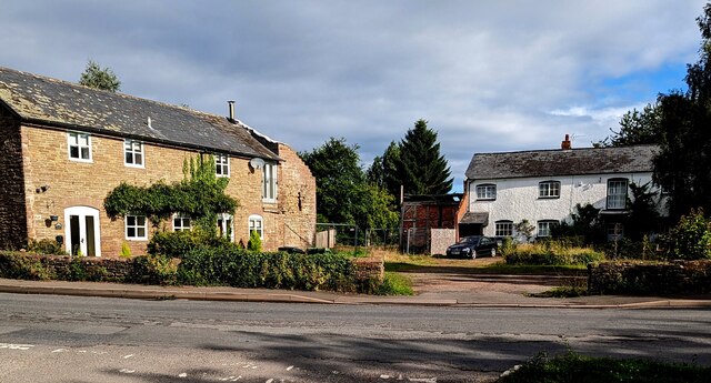
The village itself is a charming blend of traditional and modern architecture. The local community takes pride in preserving the historic buildings, which showcase the rich heritage of the area. The centerpiece of The Woodlands is the village square, which is adorned with a quaint little church and a few local shops and cafes. This central hub serves as a meeting point for residents and a gathering place for events and festivals throughout the year.
The Woodlands is also known for its strong sense of community. The villagers are friendly and welcoming, and there are numerous social clubs and organizations that provide opportunities for residents to connect and engage with one another. These include sports clubs, art groups, and community service organizations, fostering a strong sense of belonging and camaraderie.
Overall, The Woodlands in Herefordshire is a charming village that offers a perfect blend of natural beauty, historic charm, and a close-knit community. It is a place where residents can enjoy a peaceful and idyllic lifestyle, surrounded by the beauty of nature.
If you have any feedback on the listing, please let us know in the comments section below.
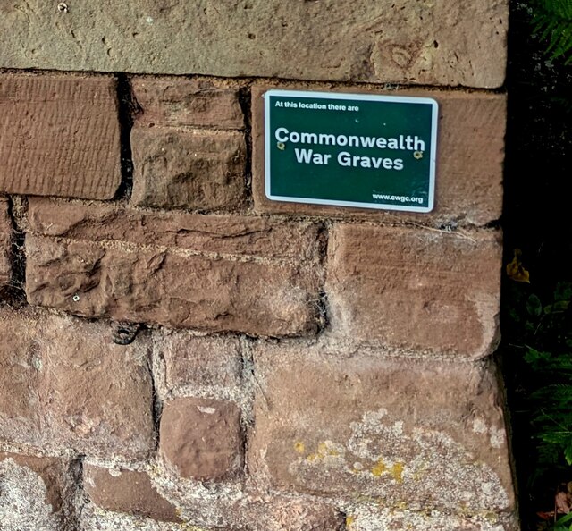
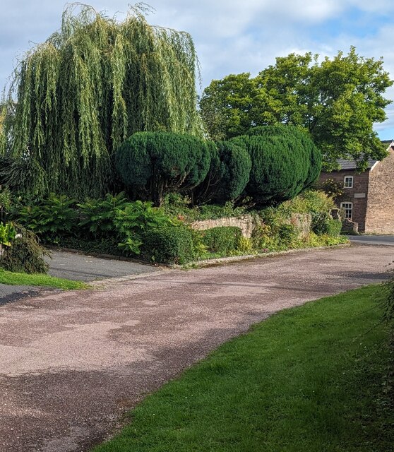
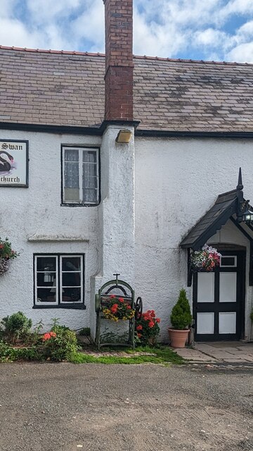
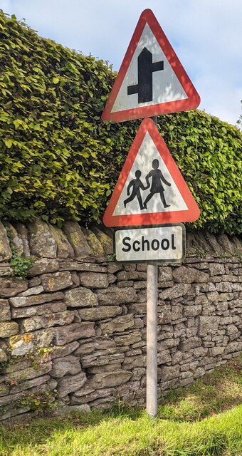
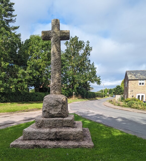
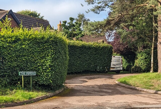
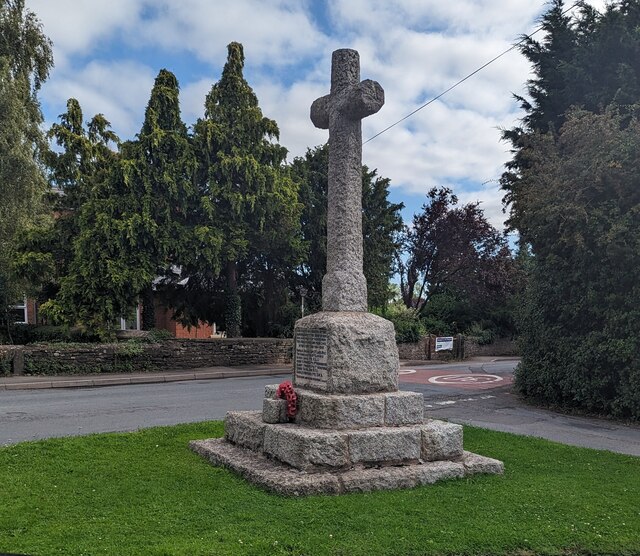
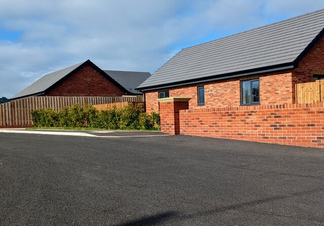
The Woodlands Images
Images are sourced within 2km of 51.964177/-2.761406 or Grid Reference SO4729. Thanks to Geograph Open Source API. All images are credited.
The Woodlands is located at Grid Ref: SO4729 (Lat: 51.964177, Lng: -2.761406)
Unitary Authority: County of Herefordshire
Police Authority: West Mercia
What 3 Words
///humidity.reissued.comet. Near Much Birch, Herefordshire
Nearby Locations
Related Wikis
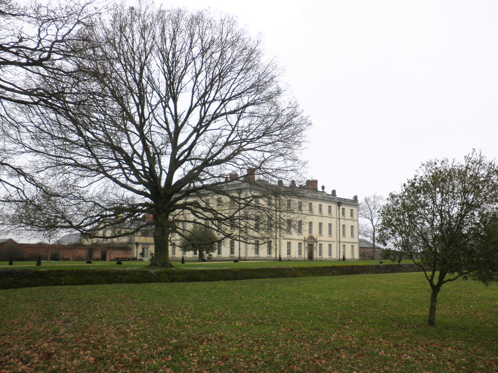
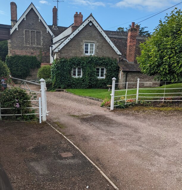
The Mynde
The Mynde is a country house in Much Dewchurch, Herefordshire. Originally built in the 15th and 16th centuries, it was remodelled in the 18th century and...

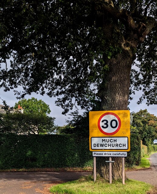
Much Dewchurch
Much Dewchurch is a village and civil parish in Herefordshire, England. The village lies about 6 miles (10 km) south of Hereford. The parish includes the...

Steiner Academy Hereford
The Steiner Academy Hereford is a Steiner-Waldorf Academy school in Much Dewchurch near Hereford, Herefordshire, UK. It opened in September 2008 based...

Wormelow Tump
Wormelow Tump is a village in Herefordshire, England, 6 miles (10 km) south of Hereford and 6+1⁄2 mi (10 km) north-west of Ross-on-Wye. Most of the village...
Nearby Amenities
Located within 500m of 51.964177,-2.761406Have you been to The Woodlands?
Leave your review of The Woodlands below (or comments, questions and feedback).