Weaver's Hill

Hill, Mountain in Herefordshire

England

Weaver's Hill

Church of St David, Much Dewchurch <span class="nowrap"><a title="https://historicengland.org.uk/listing/the-list/list-entry/1348822?section=official-list-entry" rel="nofollow ugc noopener" href="https://historicengland.org.uk/listing/the-list/list-entry/1348822?section=official-list-entry">Link</a><img style="margin-left:2px;" alt="External link" title="External link - shift click to open in new window" src="https://s1.geograph.org.uk/img/external.png" width="10" height="10"/></span>
Church of St David, Much Dewchurch Credit: Sandy Gerrard

Weaver's Hill is a picturesque hill located in the county of Herefordshire, England. Rising to an elevation of approximately 326 meters (1,070 feet), it is classified as a hill rather than a mountain due to its relatively modest height. Despite this, it offers breathtaking panoramic views of the surrounding countryside, making it a popular attraction for both locals and tourists.

Situated in the northern part of Herefordshire, Weaver's Hill is part of the Malvern Hills Area of Outstanding Natural Beauty. The hill is composed of ancient rocks, primarily made up of Silurian mudstones and sandstones, which contribute to its unique character. It is also home to a diverse range of flora and fauna, including several rare and protected species.

Weaver's Hill boasts several walking trails and footpaths, allowing visitors to explore its scenic beauty. The paths meander through lush green meadows, woodlands, and past charming cottages, providing a tranquil escape from the hustle and bustle of everyday life. On a clear day, the summit of the hill provides panoramic vistas that stretch for miles, offering glimpses of the Malvern Hills, the Brecon Beacons, and even the Black Mountains.

The hill's name, Weaver's Hill, is believed to have originated from the weaving industry that was once prevalent in the area. Historically, many local villages were known for their textile production, and weavers would often seek inspiration from the natural beauty of the hill while working. Today, the hill continues to inspire and captivate all who visit, showcasing the natural splendor that Herefordshire has to offer.

If you have any feedback on the listing, please let us know in the comments section below.

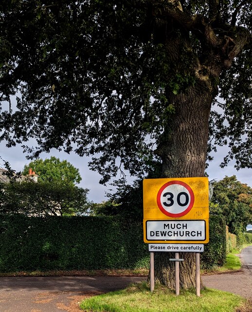
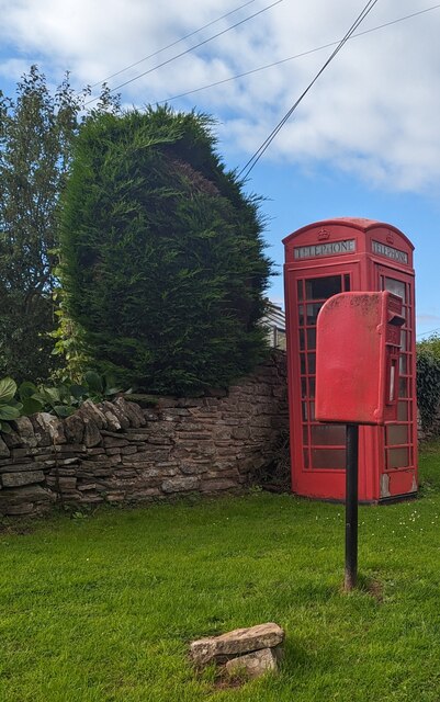
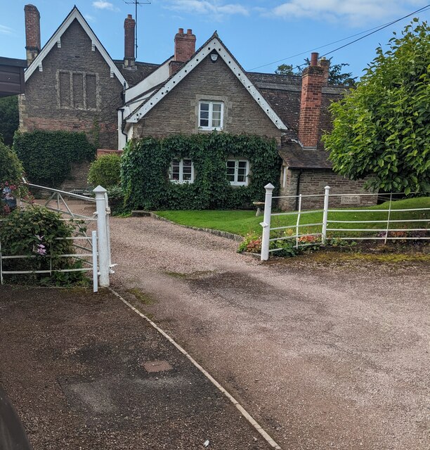
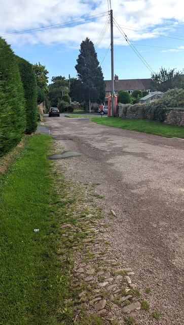
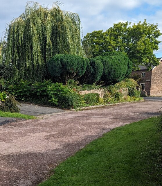
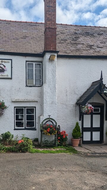
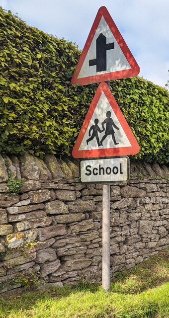
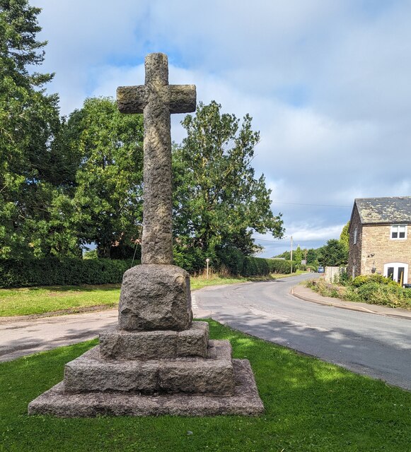
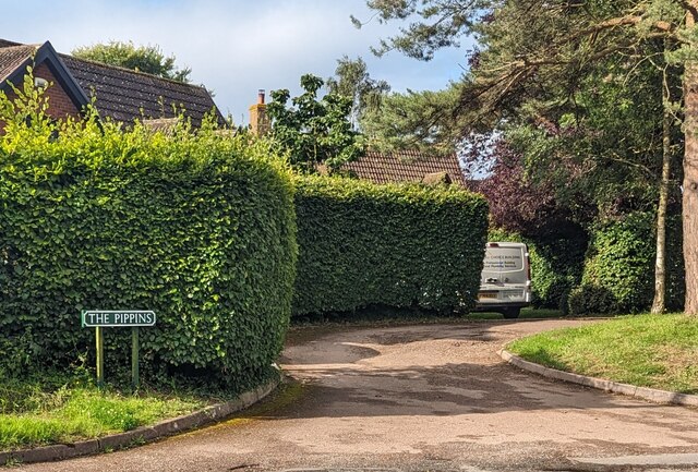
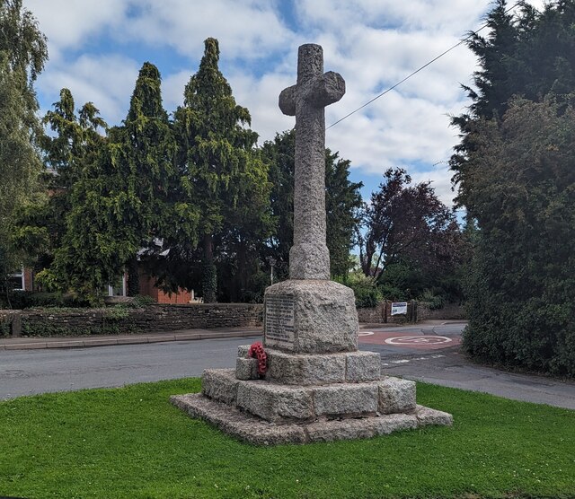
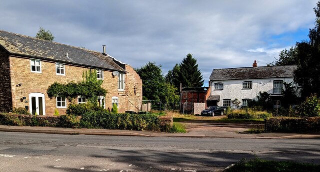
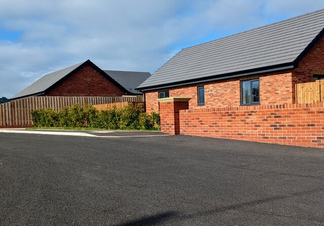
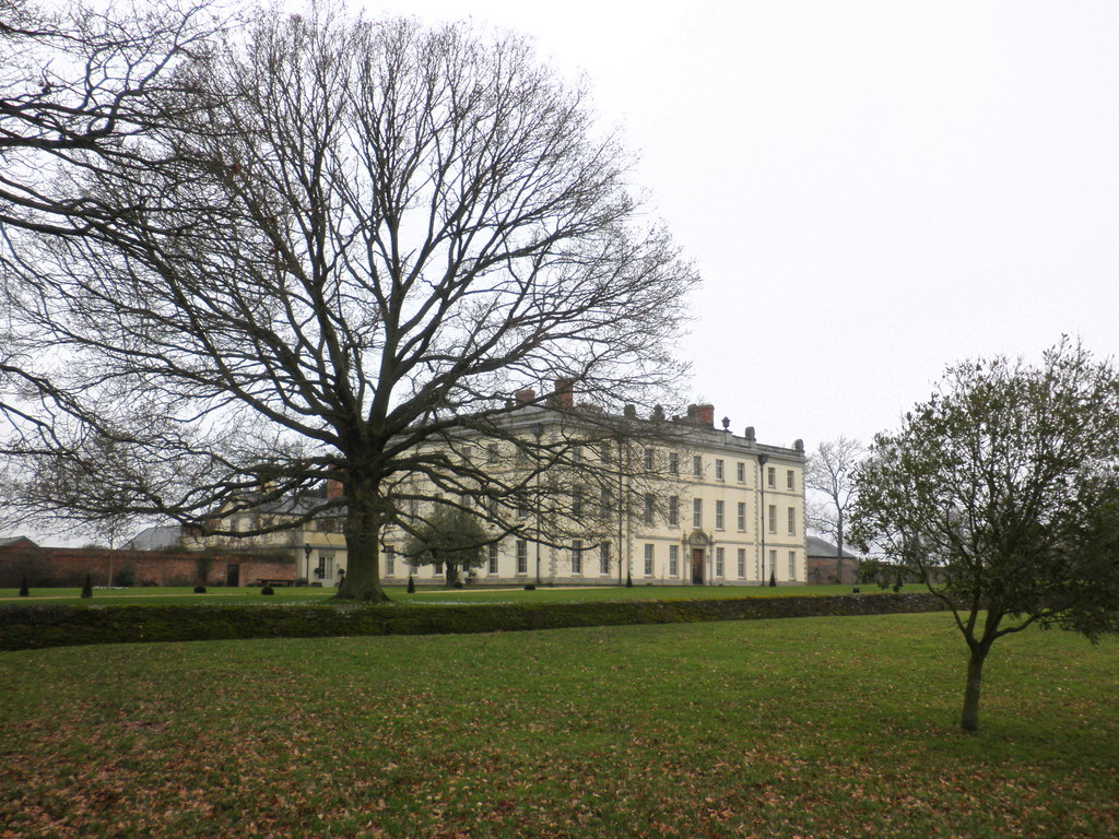
Weaver's Hill Images

Images are sourced within 2km of 51.960077/-2.7613801 or Grid Reference SO4729. Thanks to Geograph Open Source API. All images are credited.

Church of St David, Much Dewchurch <span class="nowrap"><a title="https://historicengland.org.uk/listing/the-list/list-entry/1348822?section=official-list-entry" rel="nofollow ugc noopener" href="https://historicengland.org.uk/listing/the-list/list-entry/1348822?section=official-list-entry">Link</a><img style="margin-left:2px;" alt="External link" title="External link - shift click to open in new window" src="https://s1.geograph.org.uk/img/external.png" width="10" height="10"/></span>
Church of St David, Much Dewchurch
MUCH DEWCHURCH - Please drive carefully At the SE edge of the Herefordshire village, the National 
Speed Limit on the B4348 from Wormelow drops to 30mph.
MUCH DEWCHURCH - Please drive carefully
At the SE edge of the Herefordshire village, the National Speed Limit on the B4348 from Wormelow drops to 30mph.
Red on green, Much Dewchurch, Herefordshire A postbox and a phonebox are on grass alongside 
the access road from the B4348 to St David's churchyard.
Red on green, Much Dewchurch, Herefordshire
A postbox and a phonebox are on grass alongside the access road from the B4348 to St David's churchyard.
Grade II Listed Old Vicarage, Much Dewchurch, Herefordshire Located near an entrance to St David's churchyard, The Old Vicarage
probably dates from the 17th century with later additions and alterations.
Grade II Listed Old Vicarage, Much Dewchurch, Herefordshire
Located near an entrance to St David's churchyard, The Old Vicarage probably dates from the 17th century with later additions and alterations.
Road from churchyard to the B4348, Much Dewchurch, Herefordshire  Looking to the NNE from near an entrance to St David's
churchyard in the Church of England Diocese of Hereford.
Road from churchyard to the B4348, Much Dewchurch, Herefordshire
Looking to the NNE from near an entrance to St David's churchyard in the Church of England Diocese of Hereford.
Towards the lychgate, Much Dewchurch, Herefordshire Looking south towards the Grade II Listed lychgate at an entrance to 
St David's churchyard in the Church of England Diocese of Hereford.
Derived from an old English word for a corpse, a lychgate is the roofed
gateway to a churchyard, formerly used to shelter a coffin until
the clergyman's arrival for the burial or pre-burial service. 
This one  was erected in 1879, Grade II listed in 1986.
Towards the lychgate, Much Dewchurch, Herefordshire
Looking south towards the Grade II Listed lychgate at an entrance to St David's churchyard in the Church of England Diocese of Hereford. Derived from an old English word for a corpse, a lychgate is the roofed gateway to a churchyard, formerly used to shelter a coffin until the clergyman's arrival for the burial or pre-burial service. This one was erected in 1879, Grade II listed in 1986.
St David's nameboard, Much Dewchurch, Herefordshire In August 2023 text on the nameboard on the lychgate <a title="https://www.geograph.org.uk/photo/7560885" href="https://www.geograph.org.uk/photo/7560885">Link</a> includes "Parishes of the Wormelow Hundred".
St David's nameboard, Much Dewchurch, Herefordshire
In August 2023 text on the nameboard on the lychgate Link includes "Parishes of the Wormelow Hundred".
Parochial Church Council notice, Much Dewchurch, Herefordshire On the lychgate <a title="https://www.geograph.org.uk/photo/7560885" href="https://www.geograph.org.uk/photo/7560885">Link</a> at an entrance to St David's churchyard in the Church of England Diocese of Hereford.
Parochial Church Council notice, Much Dewchurch, Herefordshire
On the lychgate Link at an entrance to St David's churchyard in the Church of England Diocese of Hereford.
Commonwealth War Graves notice, Much Dewchurch, Herefordshire Located on this <a title="https://www.geograph.org.uk/photo/7560885" href="https://www.geograph.org.uk/photo/7560885">Link</a> lychgate at an entrance to St David's churchyard,
the notice shows "At this location there are Commonwealth War Graves"
Commonwealth War Graves notice, Much Dewchurch, Herefordshire
Located on this Link lychgate at an entrance to St David's churchyard, the notice shows "At this location there are Commonwealth War Graves"
Weeping willow, Much Dewchurch, Herefordshire Viewed across the road from St David's churchyard to the B4348 in August 2023.
Weeping willow, Much Dewchurch, Herefordshire
Viewed across the road from St David's churchyard to the B4348 in August 2023.
Old mangle outside the Black Swan, Much Dewchurch, Herefordshire In August 2023 a display of flowers is in and alongside the mangle outside the village pub.
Old mangle outside the Black Swan, Much Dewchurch, Herefordshire
In August 2023 a display of flowers is in and alongside the mangle outside the village pub.
Warning signs alongside the B4348, Much Dewchurch, Herefordshire On the approach to staggered minor crossroads and a school.
The B4348 is the main road through Much Dewchurch.
Warning signs alongside the B4348, Much Dewchurch, Herefordshire
On the approach to staggered minor crossroads and a school. The B4348 is the main road through Much Dewchurch.
Rear of Much Dewchurch War Memorial, Herefordshire Located alongside the B4348, the main road through the village.
The pale grey granite War Memorial was erected c1920. 
It was Grade II Listed in 2019.
Rear of Much Dewchurch War Memorial, Herefordshire
Located alongside the B4348, the main road through the village. The pale grey granite War Memorial was erected c1920. It was Grade II Listed in 2019.
The Pippins, Much Dewchurch, Herefordshire Residential cul-de-sac viewed from the B4348, the main road through the village.
The Pippins, Much Dewchurch, Herefordshire
Residential cul-de-sac viewed from the B4348, the main road through the village.
Grade II Listed War Memorial, Much Dewchurch, Herefordshire Located alongside the B4348, the main road through the village.
The pale grey granite village War Memorial was erected c1920.
It was Grade II Listed in 2019.
Grade II Listed War Memorial, Much Dewchurch, Herefordshire
Located alongside the B4348, the main road through the village. The pale grey granite village War Memorial was erected c1920. It was Grade II Listed in 2019.
Two houses, Much Dewchurch, Herefordshire On the north side of the B4348, the main road through the village, viewed in August 2023.
A September 2011 Google Street View shows an extension of the house on the left where a gap is now.
Two houses, Much Dewchurch, Herefordshire
On the north side of the B4348, the main road through the village, viewed in August 2023. A September 2011 Google Street View shows an extension of the house on the left where a gap is now.
Pear Tree Close bungalows, Much Dewchurch, Herefordshire 21st century housing on the south side of the B4348, 
the main road through the village, viewed in August 2023.
Pear Tree Close bungalows, Much Dewchurch, Herefordshire
21st century housing on the south side of the B4348, the main road through the village, viewed in August 2023.
Pear Tree Close name sign, Much Dewchurch, Herefordshire "PRIVATE ROAD - NO TURNING OR PARKING" is above the Pear Tree Close
name sign facing the B4348, the main road through Much Dewchurch.
Pear Tree Close name sign, Much Dewchurch, Herefordshire
"PRIVATE ROAD - NO TURNING OR PARKING" is above the Pear Tree Close name sign facing the B4348, the main road through Much Dewchurch.
Show me another place!

Weaver's Hill is located at Grid Ref: SO4729 (Lat: 51.960077, Lng: -2.7613801)

Unitary Authority: County of Herefordshire

Police Authority: West Mercia

What 3 Words

///nozzle.shameless.scaffold. Near Much Birch, Herefordshire

Related Wikis

The Mynde

The Mynde is a country house in Much Dewchurch, Herefordshire. Originally built in the 15th and 16th centuries, it was remodelled in the 18th century and...

Wormelow Tump

Wormelow Tump is a village in Herefordshire, England, 6 miles (10 km) south of Hereford and 6+1⁄2 mi (10 km) north-west of Ross-on-Wye. Most of the village...

Much Dewchurch

Much Dewchurch is a village and civil parish in Herefordshire, England. The village lies about 6 miles (10 km) south of Hereford. The parish includes the...

Steiner Academy Hereford

The Steiner Academy Hereford is a Steiner-Waldorf Academy school in Much Dewchurch near Hereford, Herefordshire, UK. It opened in September 2008 based...

Have you been to Weaver's Hill?

Leave your review of Weaver's Hill below (or comments, questions and feedback).