The Lawns
Downs, Moorland in Herefordshire
England
The Lawns

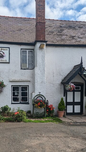
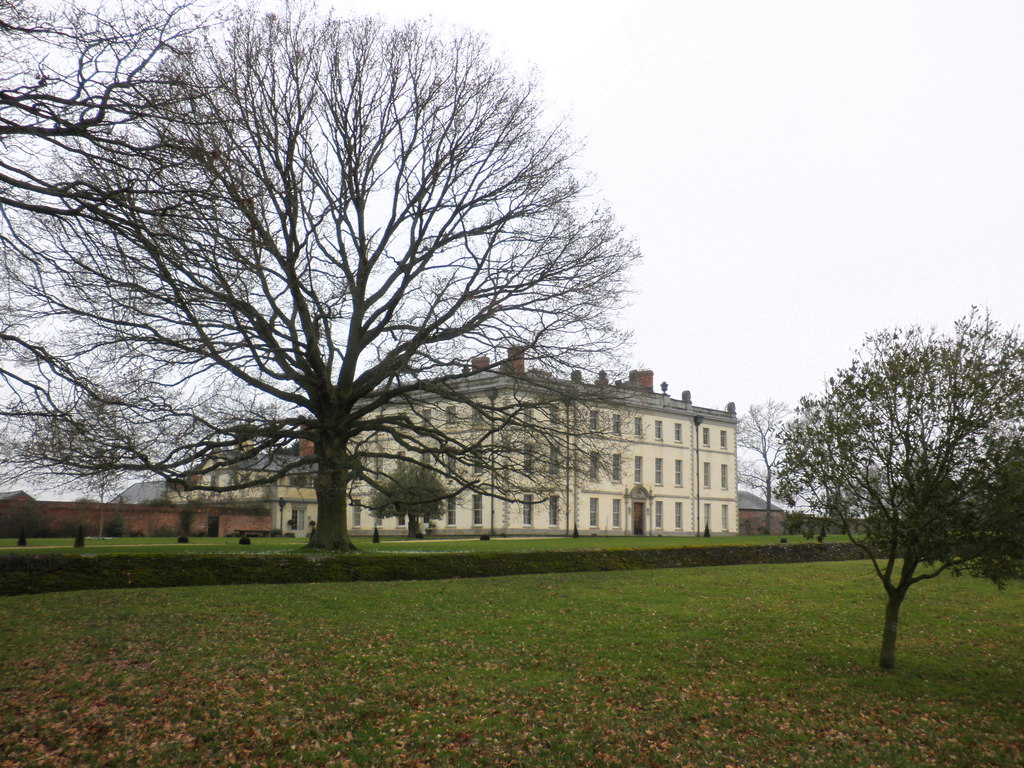
The Lawns is a stunning and picturesque area located in Herefordshire, England. Known for its breathtaking downs and moorland landscapes, it offers visitors a unique and diverse natural environment to explore.
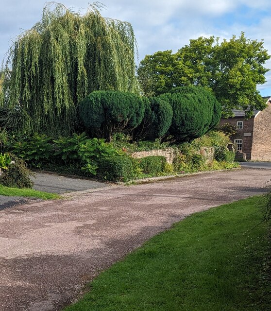
The downs of The Lawns are characterized by rolling hills and expansive open spaces, providing a sense of tranquility and serenity. These grassy areas are perfect for leisurely walks or picnics, allowing visitors to immerse themselves in the beauty of the surrounding countryside. The Lawns also boasts an abundance of wildflowers, which carpet the downs during the spring and summer months, creating a vibrant and colorful atmosphere.
In addition to the downs, The Lawns is home to vast moorland areas. The moorland is characterized by its rugged terrain, with heather-covered hills and rocky outcrops dotting the landscape. This unique habitat attracts a variety of wildlife, including birds, small mammals, and reptiles. Birdwatchers in particular will be delighted by the variety of species that can be spotted in this area.
The Lawns is a popular destination for outdoor enthusiasts and nature lovers. The area offers numerous walking trails and hiking routes, allowing visitors to fully explore and appreciate the natural beauty of the downs and moorland. It is also a haven for photographers, who can capture the stunning vistas and capture the essence of this remarkable landscape.
Overall, The Lawns in Herefordshire is a must-visit destination for anyone seeking to connect with nature and experience the beauty of England's downs and moorland. Whether you are looking for a peaceful retreat or an adventure-filled hiking trip, The Lawns has something to offer for everyone.
If you have any feedback on the listing, please let us know in the comments section below.
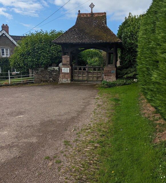
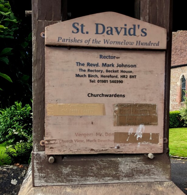
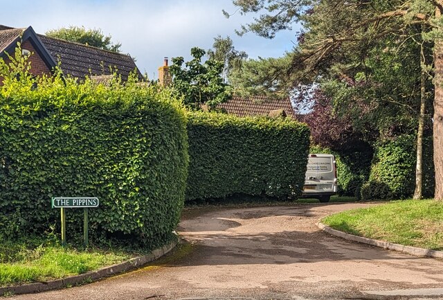
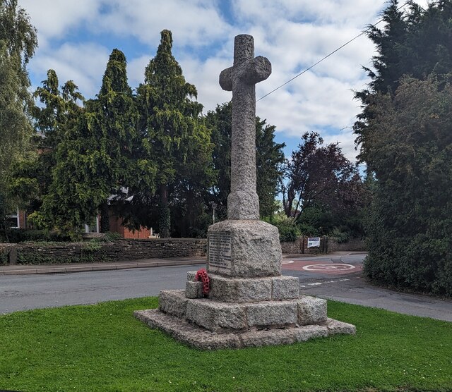
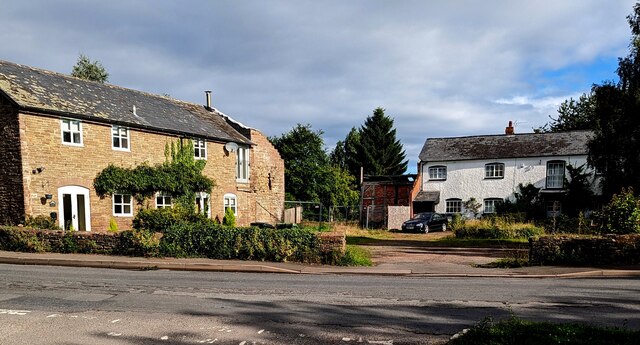
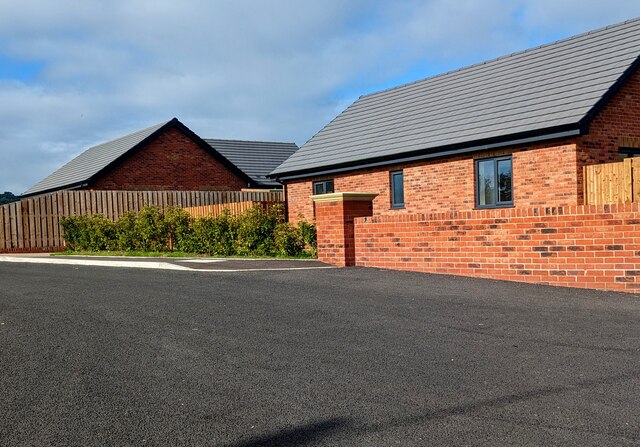
The Lawns Images
Images are sourced within 2km of 51.965941/-2.766603 or Grid Reference SO4729. Thanks to Geograph Open Source API. All images are credited.

The Lawns is located at Grid Ref: SO4729 (Lat: 51.965941, Lng: -2.766603)
Unitary Authority: County of Herefordshire
Police Authority: West Mercia
What 3 Words
///gilding.sticking.awoken. Near Much Birch, Herefordshire
Nearby Locations
Related Wikis
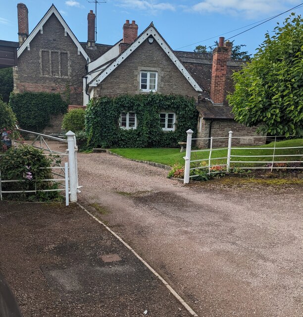
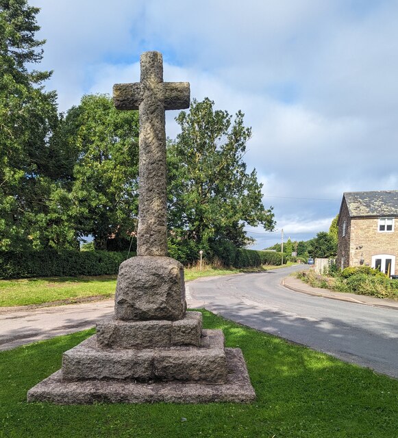
The Mynde
The Mynde is a country house in Much Dewchurch, Herefordshire. Originally built in the 15th and 16th centuries, it was remodelled in the 18th century and...

Steiner Academy Hereford
The Steiner Academy Hereford is a Steiner-Waldorf Academy school in Much Dewchurch near Hereford, Herefordshire, UK. It opened in September 2008 based...

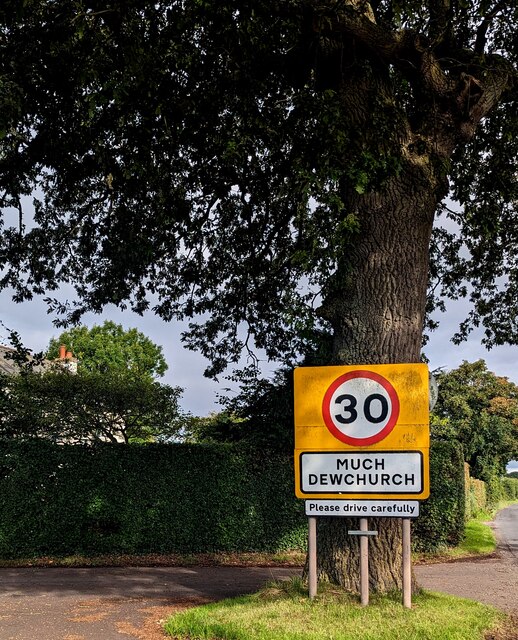
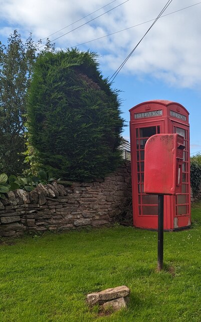
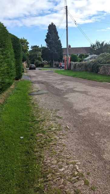
Much Dewchurch
Much Dewchurch is a village and civil parish in Herefordshire, England. The village lies about 6 miles (10 km) south of Hereford. The parish includes the...

Wormelow Tump
Wormelow Tump is a village in Herefordshire, England, 6 miles (10 km) south of Hereford and 6+1⁄2 mi (10 km) north-west of Ross-on-Wye. Most of the village...
Nearby Amenities
Located within 500m of 51.965941,-2.766603Have you been to The Lawns?
Leave your review of The Lawns below (or comments, questions and feedback).