Coronation Wood

Wood, Forest in Cumberland Eden

England

Coronation Wood

Dry stone wall bounding field The wall with its gate bounds a field between the A592 and the River Eamont; it's just south of the Rheged visitor attraction.
Dry stone wall bounding field Credit: Trevor Littlewood

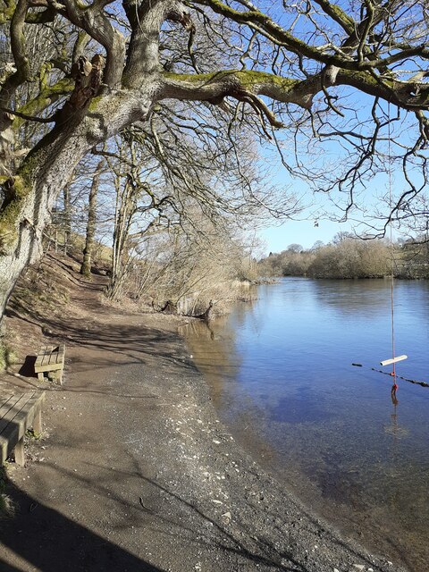
Coronation Wood is a serene and picturesque forest located in Cumberland, a historic county in northwest England. Spanning approximately 50 acres, this woodland is a haven for nature enthusiasts and offers a tranquil escape from the bustling city life.

The wood is primarily composed of a mixture of native broadleaf trees, including oak, ash, and birch, which create a diverse and vibrant ecosystem. These trees provide a vital habitat for numerous species of birds, mammals, and insects, making it an ideal spot for wildlife enthusiasts and birdwatchers.

Walking through Coronation Wood, visitors can explore a network of well-maintained trails that wind their way through the forest, allowing them to immerse themselves in the natural beauty of the surroundings. The dense foliage and towering trees provide shade and shelter, creating a cool and refreshing atmosphere even on hot summer days.

In addition to its natural beauty, Coronation Wood also holds historical significance. It was originally planted in the early 20th century to commemorate the coronation of King George V. Today, remnants of this historical event can still be seen in the form of commemorative plaques and markers scattered throughout the wood, providing a glimpse into the past.

Overall, Coronation Wood is a remarkable destination for those seeking a peaceful retreat in nature. With its diverse flora and fauna, well-maintained trails, and historical significance, this woodland truly offers something for everyone to enjoy.

If you have any feedback on the listing, please let us know in the comments section below.

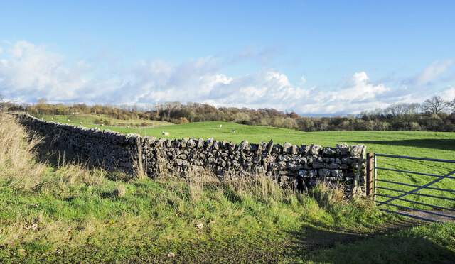
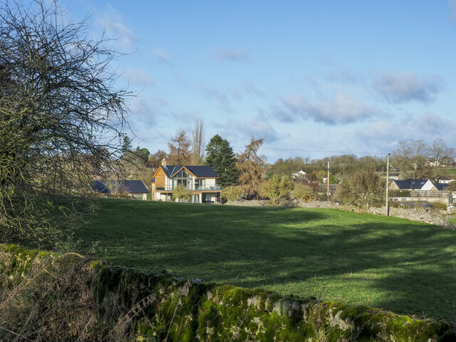
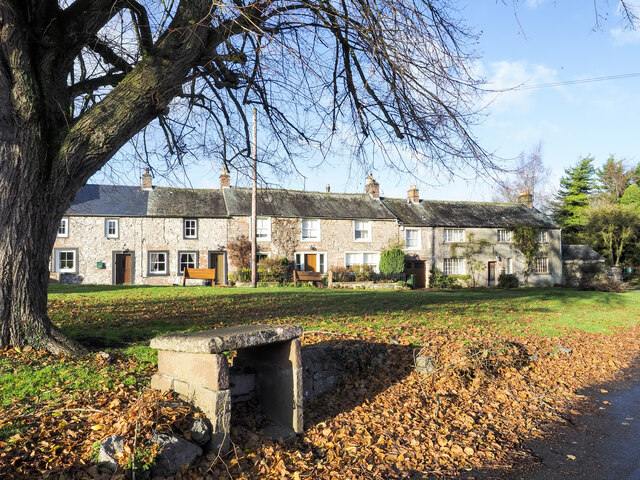
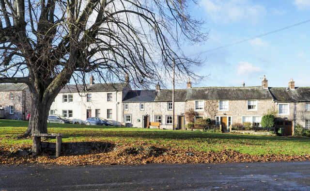
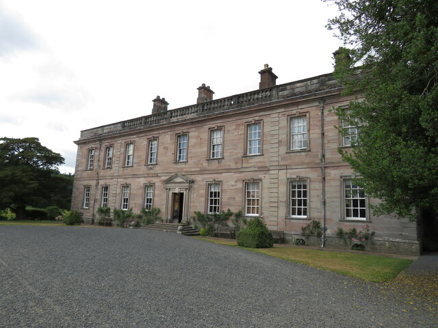
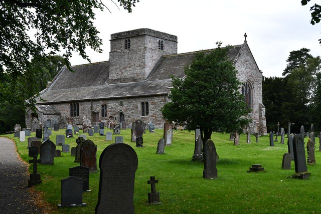
Coronation Wood Images

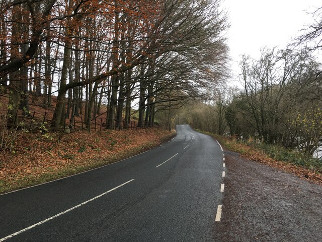
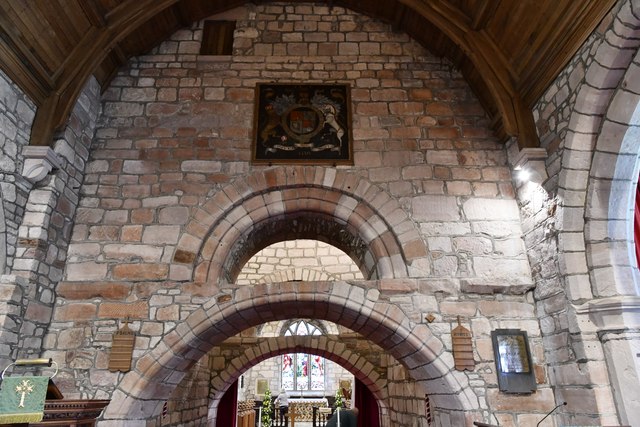
Images are sourced within 2km of 54.63059/-2.8104255 or Grid Reference NY4726. Thanks to Geograph Open Source API. All images are credited.

Dry stone wall bounding field The wall with its gate bounds a field between the A592 and the River Eamont; it's just south of the Rheged visitor attraction.
Dry stone wall bounding field
The wall with its gate bounds a field between the A592 and the River Eamont; it's just south of the Rheged visitor attraction.
Houses in Stainton over field Homes on the south side of Stainton seen over a field from a minor road south of the village.
Houses in Stainton over field
Homes on the south side of Stainton seen over a field from a minor road south of the village.
Houses across the green Terraced houses in Stainton across the village Green.
Houses across the green
Terraced houses in Stainton across the village Green.
Houses across the green - 2 Terraced houses in Stainton seen across the village green.
Houses across the green - 2
Terraced houses in Stainton seen across the village green.
River Eamont, Pooley Bridge Taken from the footpath alongside the river
River Eamont, Pooley Bridge
Taken from the footpath alongside the river
Junction with the A66 near Stainton
A592 towards Penrith
River Eamont at Pooley Bridge Looking downstream away from the village, during rain.
River Eamont at Pooley Bridge
Looking downstream away from the village, during rain.
Dalemain House Georgian house with some medieval remnants which has remained in the same family for more than three centuries.
Dalemain House
Georgian house with some medieval remnants which has remained in the same family for more than three centuries.
Barton, St. Michael's Church: South Eastern aspect
Barton, St. Michael's Churchyard: Grave of Sergeant J.E. Williams, Flight Engineer
Barton, St. Michael's Church: Stained glass window 1
Barton, St. Michael's Church: The spectacular Norman tower arches
Barton, St. Michael's Church: Poppy head
Barton, St. Michael's Church: Stained glass window 2
Barton, St. Michael's Church: War Memorial
Show me another place!

Coronation Wood is located at Grid Ref: NY4726 (Lat: 54.63059, Lng: -2.8104255)

Administrative County: Cumbria

District: Eden

Police Authority: Cumbria

What 3 Words

///showdown.earlobes.truckload. Near Penrith, Cumbria

Related Wikis

Nearby Amenities

Located within 500m of 54.63059,-2.8104255
Dalemain road end
Local Ref: AT
Naptan AtcoCode: 090074211402
Naptan Bearing: E
Naptan BusStopType: CUS
Naptan CommonName: Dalemain road end
Naptan Indicator: at
Naptan Landmark: Dalemain Road End
Naptan NaptanCode: cumdagpg
Naptan Street: A592
Naptan Verified: no
Source: naptan_import
Lat/Long: 54.6346083/-2.8079425
Barrier: cattle_grid
Lat/Long: 54.6345967/-2.81019
Turning Circle
Lat/Long: 54.634251/-2.8110454
Shop: gift
Website: https://www.dalemain.com/shop/
Lat/Long: 54.6347541/-2.8107827
Toilets
Access: customers
Fee: no
Female: yes
Male: yes
Lat/Long: 54.6345745/-2.8110195
Entrance: main
Lat/Long: 54.6342771/-2.8112105
Entrance: yes
Lat/Long: 54.6347409/-2.8107345
Cafe
Dalemain House Tearoom
Addr Postcode: CA11 0HB
Fhrs Id: 307093
Outdoor Seating: yes
Website: https://www.dalemain.com/tearoom/
Lat/Long: 54.6346719/-2.8108947
Topiary dragon
Tourism: artwork
Lat/Long: 54.6344305/-2.8127776
Leisure: outdoor_seating
Lat/Long: 54.6348109/-2.8110114
Barrier: cattle_grid
Lat/Long: 54.6346696/-2.8083479
Entrance: main
Lat/Long: 54.6347607/-2.8108417
Sleeping giant
Note: Position approximate
Tourism: artwork
Lat/Long: 54.6343265/-2.8134656
Barrier: stile
Stile: stepover
Lat/Long: 54.6328636/-2.810732
The data included in this document is from www.openstreetmap.org. The data is made available under ODbL.

Have you been to Coronation Wood?

Leave your review of Coronation Wood below (or comments, questions and feedback).