Adzor Coppice

Wood, Forest in Herefordshire

England

Adzor Coppice

Wheat Field
Wheat Field Credit: Julian P Guffogg

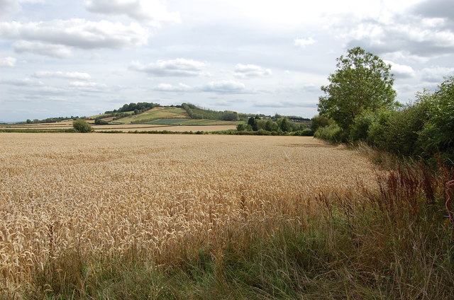
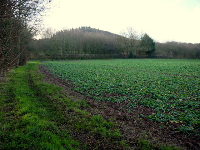
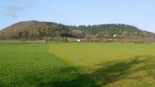
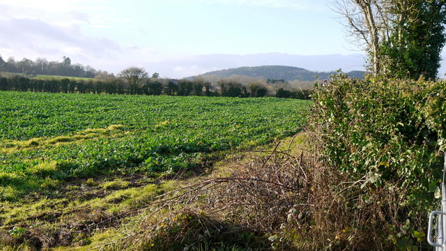
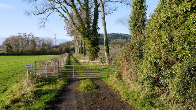
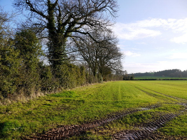
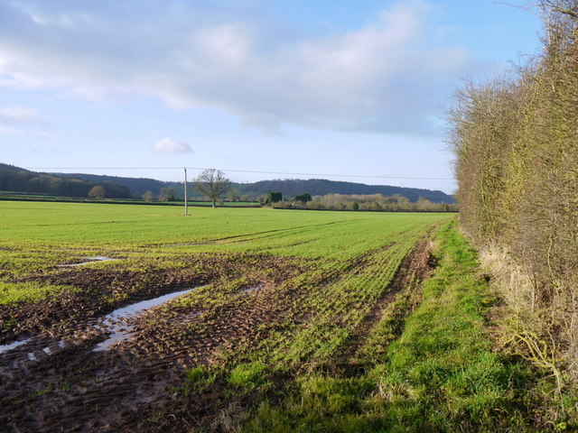
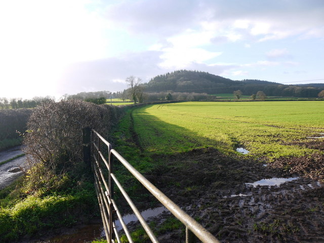
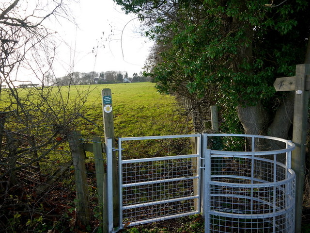
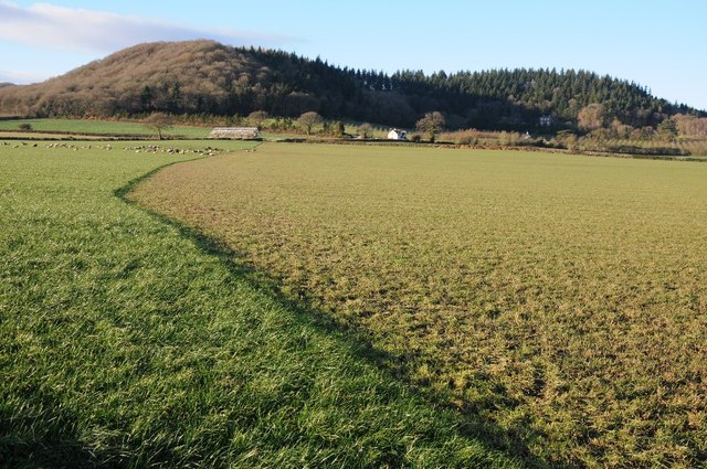
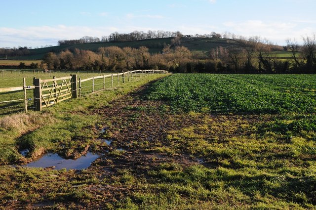
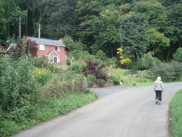
Adzor Coppice is a beautiful woodland located in Herefordshire, England. Covering an area of approximately 50 acres, it is a haven for nature enthusiasts and those seeking tranquility in a natural setting. The coppice is primarily composed of deciduous trees such as oak, ash, and beech, creating a diverse and vibrant ecosystem.

The woodland is rich in biodiversity, providing a habitat for a wide range of plant and animal species. Wildflowers bloom in abundance during the spring, carpeting the forest floor with vibrant colors. The dense canopy of trees offers shelter and nesting sites for various bird species, including woodpeckers and owls. Small mammals like squirrels and hedgehogs can also be spotted scurrying through the undergrowth.

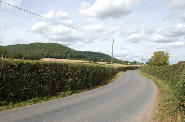
Adzor Coppice boasts well-maintained trails, making it accessible for visitors to explore and enjoy its natural beauty. The paths meander through the woodland, offering glimpses of picturesque streams and enchanting clearings. Nature lovers can immerse themselves in the peaceful ambiance, taking in the sights and sounds of the forest.

The coppice is also managed sustainably, with occasional tree felling and selective thinning to maintain the health and vitality of the woodland. This careful management ensures the longevity of the forest and allows for the regeneration of new growth.

Overall, Adzor Coppice is a hidden gem in Herefordshire, offering visitors a chance to connect with nature and experience the serenity of a well-preserved woodland. Whether it be for leisurely walks, birdwatching, or simply unwinding amidst the beauty of nature, this woodland provides a memorable and rejuvenating experience for all who visit.

If you have any feedback on the listing, please let us know in the comments section below.

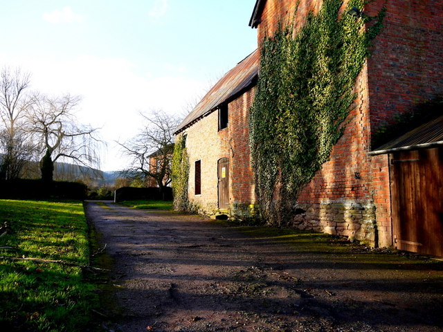
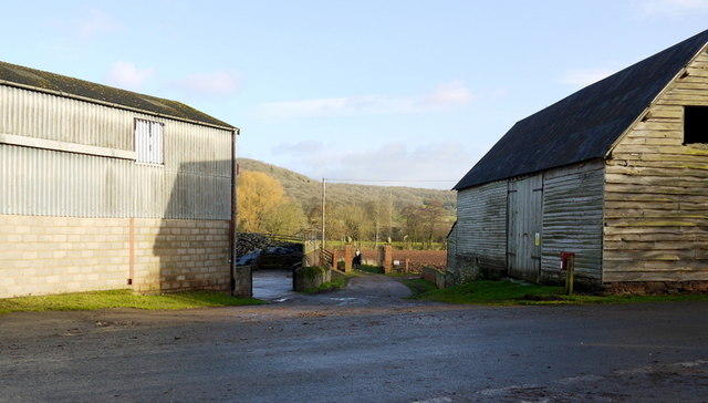
Adzor Coppice Images

Images are sourced within 2km of 52.126191/-2.7642383 or Grid Reference SO4747. Thanks to Geograph Open Source API. All images are credited.

Wheat Field
Wheat Field
Lane from Tillington Towards the A4110
Lane from Tillington
Towards the A4110
The Nag's Head, Canon Pyon
Canon Pyon Stores and Post Office
The Nag's Head, Canon Pyon
Cider orchard Viewed from the bridleway just west of the A4110 at The Parks.
Cider orchard
Viewed from the bridleway just west of the A4110 at The Parks.
Young rape crop The wooded eastern end of the elongated Nupton Hill beyond makes up the majority of this gridsquare.
Young rape crop
The wooded eastern end of the elongated Nupton Hill beyond makes up the majority of this gridsquare.
Shades of green grass Cropped recently and uncropped pasture north of the Tillington Lane.
The hill is the Badnage end of Nupton Hill with The Hermitage clearly in its wooded folds.
See the same view taken by Phillip Halling a few days later; <a href="https://www.geograph.org.uk/photo/3800252">SO4746 : View to Upper Barn and The Hermitage</a>.
Shades of green grass
Cropped recently and uncropped pasture north of the Tillington Lane. The hill is the Badnage end of Nupton Hill with The Hermitage clearly in its wooded folds. See the same view taken by Phillip Halling a few days later; SO4746 : View to Upper Barn and The Hermitage.
Forage crop by Tillington Lane Looking south-west towards Tillington and Credenhill in the distance.
Forage crop by Tillington Lane
Looking south-west towards Tillington and Credenhill in the distance.
Bridleway west to Badnage This is the eastern end of the bridleway at <a href="https://www.geograph.org.uk/photo/3789576">SO4646 : Farm road and bridleway</a>.
Bridleway west to Badnage
This is the eastern end of the bridleway at SO4646 : Farm road and bridleway.
Upper Derndale Old brick farm buildings glow in winter sunshine.
Upper Derndale
Old brick farm buildings glow in winter sunshine.
Farm road between barns Private track from Upper Derndale to Derndale.
Farm road between barns
Private track from Upper Derndale to Derndale.
Winter cereal crop View east near Derndale.
Winter cereal crop
View east near Derndale.
Herefordshire arable land, 1 Looking west over Canon Pyon to the elongated, wooded, Nupton Hill.
Herefordshire arable land, 1
Looking west over Canon Pyon to the elongated, wooded, Nupton Hill.
Herefordshire arable land, 2 Looking south-west almost into the winter sun towards Badnage Wood.
Herefordshire arable land, 2
Looking south-west almost into the winter sun towards Badnage Wood.
Footpath to Badnage Court Kissing gate by the A4110 south of Canon Pyon.
Footpath to Badnage Court
Kissing gate by the A4110 south of Canon Pyon.
View to Upper Barn and The Hermitage View to the wooded Nupton Hill with Upper Barn and The Hermitage nestling below, the latter can be seen to the right, just within the lengthening shadows of a winters afternoon's sun.  

The marked diversion in the grassland in the field is a result of strip grazing where the farmer uses an electric fence which is moved back a little each day. This technique is to prevent livestock gorging itself on too much grass which can cause problems such as bloating which can be fatal, the grass ferments in the stomach causing a build up of gas.  The use of an electric fence can be seen in Jonathan Billinger's <a href="https://www.geograph.org.uk/photo/3789582">SO4746 : Shades of green grass</a> just eight days earlier.
View to Upper Barn and The Hermitage
View to the wooded Nupton Hill with Upper Barn and The Hermitage nestling below, the latter can be seen to the right, just within the lengthening shadows of a winters afternoon's sun. The marked diversion in the grassland in the field is a result of strip grazing where the farmer uses an electric fence which is moved back a little each day. This technique is to prevent livestock gorging itself on too much grass which can cause problems such as bloating which can be fatal, the grass ferments in the stomach causing a build up of gas. The use of an electric fence can be seen in Jonathan Billinger's SO4746 : Shades of green grass just eight days earlier.
An arable field east of Tillington View across an arable field towards Tillington Court Farm which is not visible in the picture.
An arable field east of Tillington
View across an arable field towards Tillington Court Farm which is not visible in the picture.
Show me another place!

Adzor Coppice is located at Grid Ref: SO4747 (Lat: 52.126191, Lng: -2.7642383)

Unitary Authority: County of Herefordshire

Police Authority: West Mercia

What 3 Words

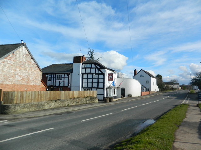
///bumping.stag.clean. Near Wellington, Herefordshire

Related Wikis

Wellington, Herefordshire

Wellington, a village in Herefordshire, England at grid reference SO494481 had a population of 1005 in the 2011 census .The village is sheltered by the...
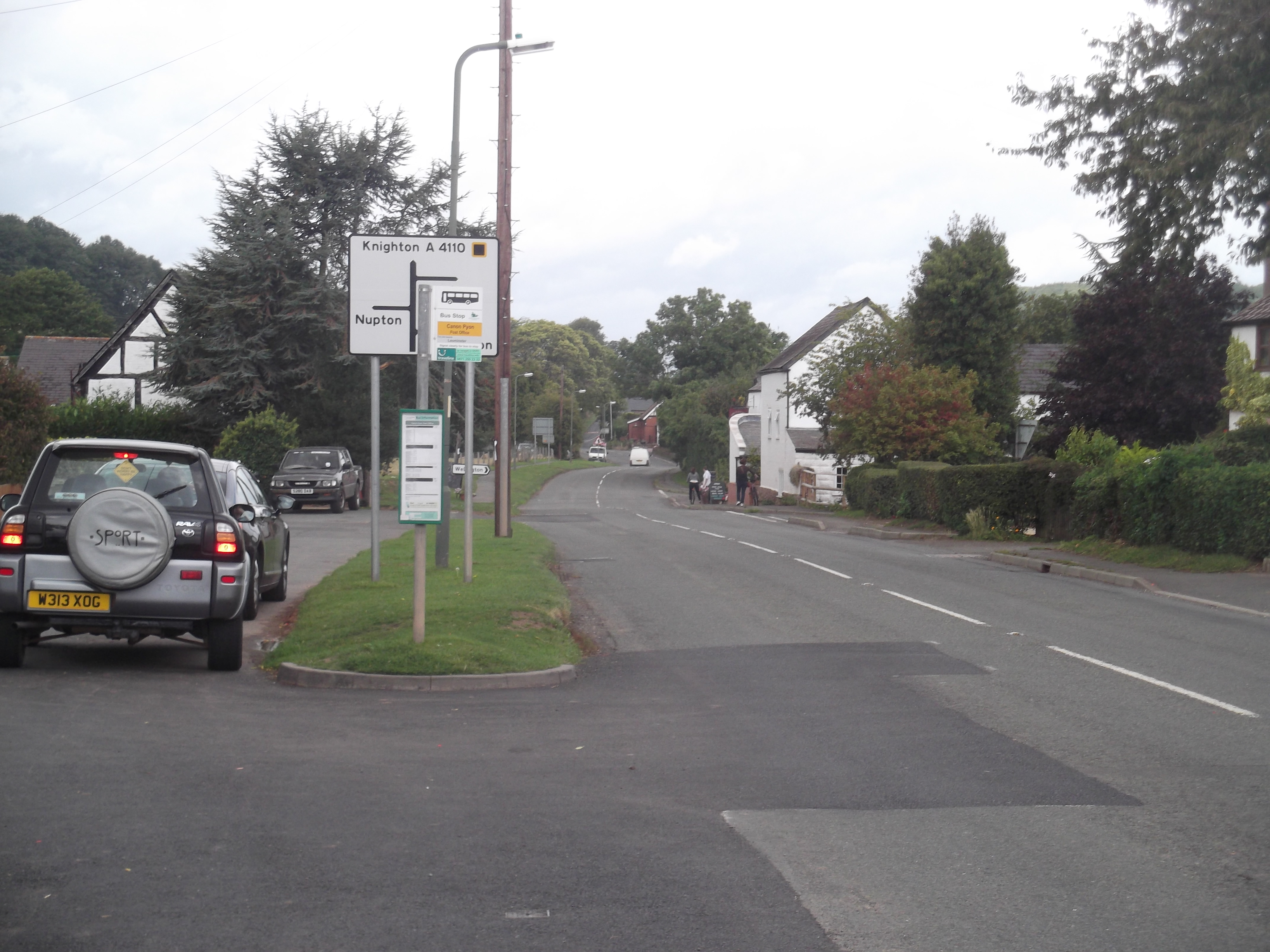
Canon Pyon

Canon Pyon is a village and civil parish on the A4110 road in Herefordshire, England. The population of the parish at the 2011 Census was 542. The civil...

Wellington F.C. (Herefords)

Wellington Football Club are a football club based in the village of Wellington, Herefordshire, England. The club is affiliated to the Herefordshire County...

Dinmore Manor

Dinmore Manor House is a large rural house in a well-wooded, hilly part of Herefordshire in the least populous parish of the county, Dinmore. It was substantially...

Dinmore, Herefordshire

Dinmore is a geographically small civil parish in Herefordshire, England. The parish had an estimated population in mid-2010 of 7, the smallest in the...

Burghill

Burghill is a village and civil parish in Herefordshire, England, north-west of Hereford. The parish includes the villages of Burghill, Tillington, Portway...

Moreton on Lugg

Moreton on Lugg is a village and civil parish in Herefordshire, England. The city and county town of Hereford is approximately 3 miles (5 km) to the south...

Brinsop Court

Brinsop Court, Brinsop, Herefordshire, England is a manor house dating from the 14th century. The house was much extended in the 16th and 17th centuries...

Nearby Amenities

Located within 500m of 52.126191,-2.7642383
Power: pole
Source: bing
Lat/Long: 52.1228485/-2.7665819
Power: pole
Source: bing
Lat/Long: 52.1222244/-2.7656177
Power: pole
Source: bing
Lat/Long: 52.1217238/-2.7648787
Barrier: stile
Lat/Long: 52.1282393/-2.7631063
The data included in this document is from www.openstreetmap.org. The data is made available under ODbL.

Have you been to Adzor Coppice?

Leave your review of Adzor Coppice below (or comments, questions and feedback).