The Parks

Settlement in Herefordshire

England

The Parks

Wheat Field
Wheat Field Credit: Julian P Guffogg

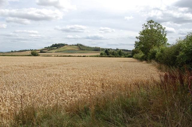
The Parks is a quaint and picturesque village located in the county of Herefordshire, England. Nestled amidst the stunning countryside, it is renowned for its natural beauty and tranquility. The village is situated in the northwest part of the county, approximately 8 miles from the city of Hereford.

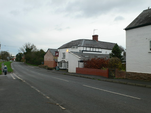
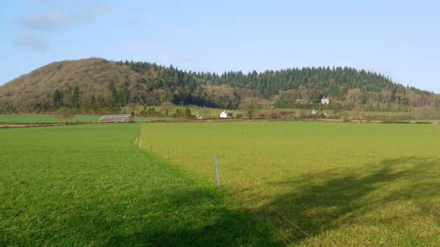
The Parks is characterized by its charming cottages and traditional architecture, which adds to its idyllic appeal. Surrounded by rolling hills and lush green fields, it offers a peaceful retreat for both residents and visitors alike. The village is also home to a tight-knit community, known for their warmth and friendliness.

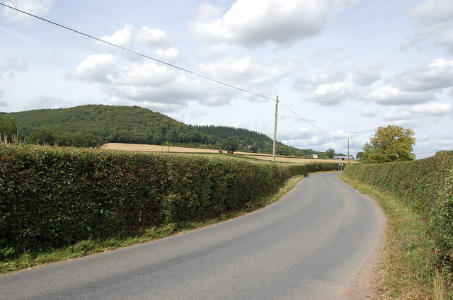
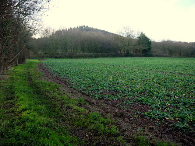
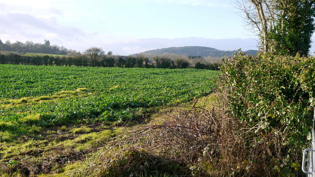
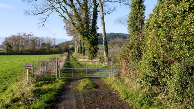
Nature enthusiasts will find plenty to explore in The Parks. The village is encompassed by vast woodlands and meandering footpaths, perfect for leisurely walks and hiking. Additionally, the nearby River Wye provides opportunities for fishing and boating.

For those interested in history, The Parks offers an insight into the region's past. The area is dotted with historical landmarks such as St. Mary's Church, which dates back to the 12th century, and the Old Court, a well-preserved Elizabethan manor house.

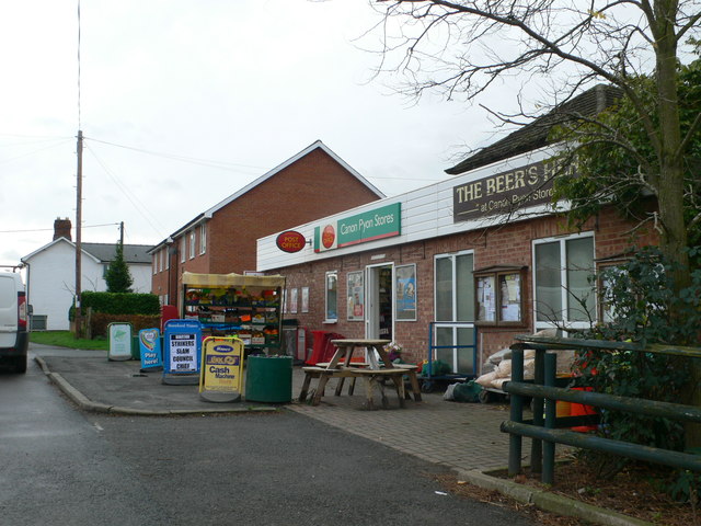
Despite its rural setting, The Parks is well-connected to surrounding areas. The city of Hereford is easily accessible by road, offering a range of amenities including shops, restaurants, and cultural attractions. The village also benefits from a regular bus service, ensuring convenient transportation options for residents and visitors.

Overall, The Parks is a charming village that harmoniously blends natural beauty, rich history, and a strong sense of community. It is a hidden gem in Herefordshire, providing a peaceful and picturesque setting for all who visit.

If you have any feedback on the listing, please let us know in the comments section below.
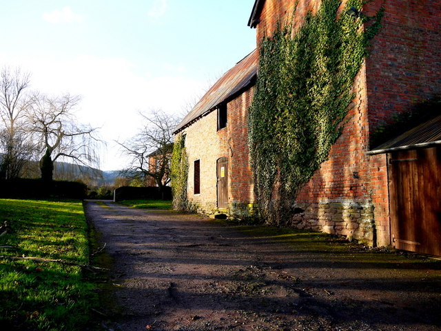
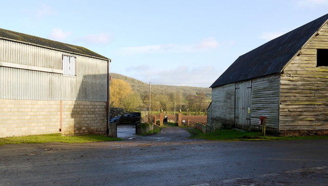
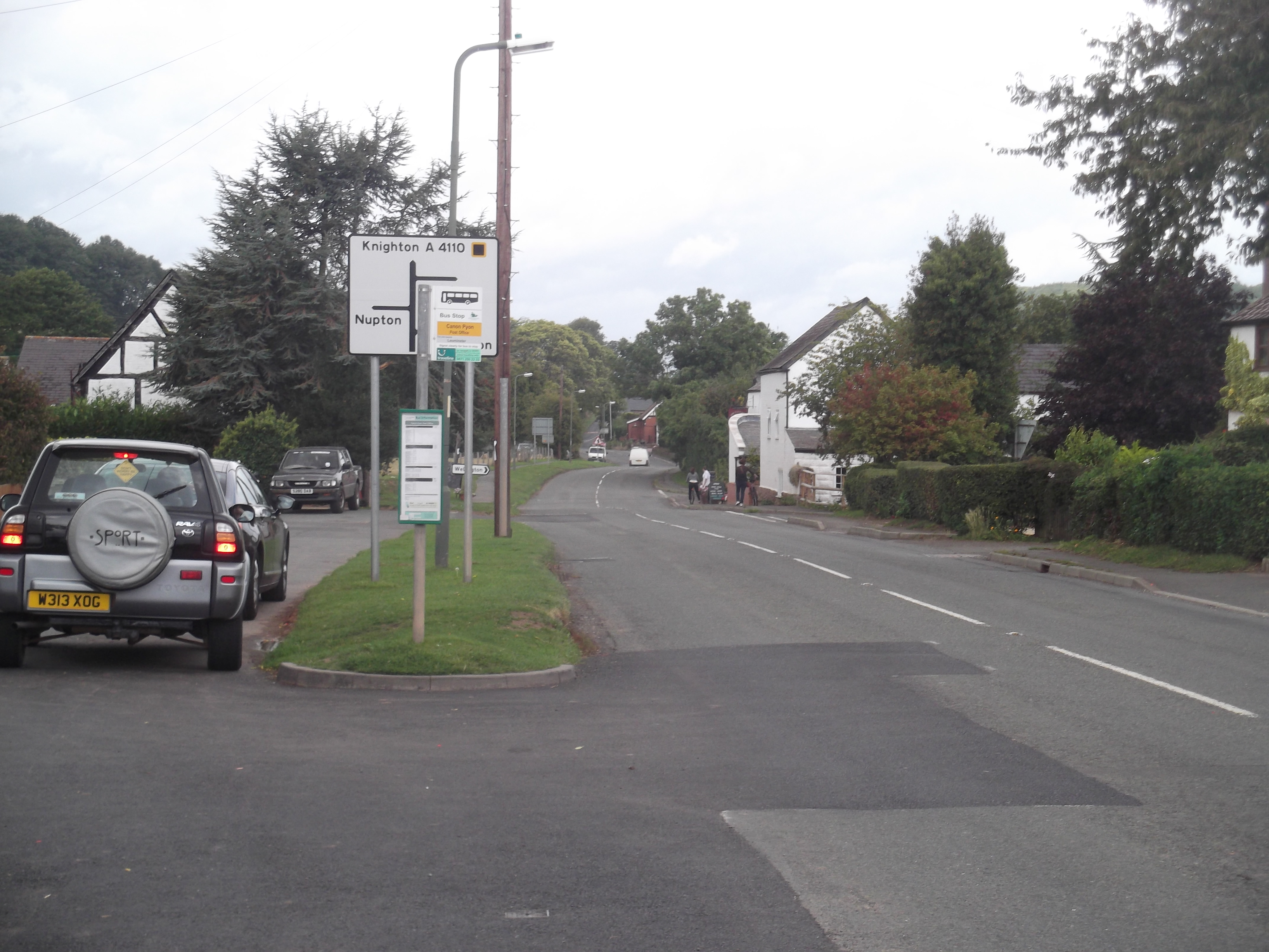
The Parks Images

Images are sourced within 2km of 52.120788/-2.7697398 or Grid Reference SO4747. Thanks to Geograph Open Source API. All images are credited.

Wheat Field
Wheat Field
Lane from Tillington Towards the A4110
Lane from Tillington
Towards the A4110
The Nag's Head, Canon Pyon
Canon Pyon Stores and Post Office
Herefordshire oast houses
Cider orchard Viewed from the bridleway just west of the A4110 at The Parks.
Cider orchard
Viewed from the bridleway just west of the A4110 at The Parks.
Young rape crop The wooded eastern end of the elongated Nupton Hill beyond makes up the majority of this gridsquare.
Young rape crop
The wooded eastern end of the elongated Nupton Hill beyond makes up the majority of this gridsquare.
Bronze prize A young beech tree by the entrance to St. Donat's Farm.
In the distance is the wooded Dinmore ridge and the pointed Pyon Hill.
Bronze prize
A young beech tree by the entrance to St. Donat's Farm. In the distance is the wooded Dinmore ridge and the pointed Pyon Hill.
St. Donat's farm, Portway Converted oast house by the Canon Pyon Road north of Hereford.
St. Donat's farm, Portway
Converted oast house by the Canon Pyon Road north of Hereford.
Public path on a field edge The path goes around the house to emerge at <a href="https://www.geograph.org.uk/photo/3789560">SO4645 : Private drive with pampas grasses</a>.
Public path on a field edge
The path goes around the house to emerge at SO4645 : Private drive with pampas grasses.
Apple orchard at Tillington These are dessert apples as opposed to cider.
The differences are the small size to facilitate hand-picking and the high density of planting to get the best return for unit of land.
Apple orchard at Tillington
These are dessert apples as opposed to cider. The differences are the small size to facilitate hand-picking and the high density of planting to get the best return for unit of land.
Cottage at Badnage Looking west along the road to Tillington Common.
Cottage at Badnage
Looking west along the road to Tillington Common.
Farm road and bridleway The path passes through Badnage Farm and on eastwards to the A4110 at The Parks.
Farm road and bridleway
The path passes through Badnage Farm and on eastwards to the A4110 at The Parks.
Shades of green grass Cropped recently and uncropped pasture north of the Tillington Lane.
The hill is the Badnage end of Nupton Hill with The Hermitage clearly in its wooded folds.
See the same view taken by Phillip Halling a few days later; <a href="https://www.geograph.org.uk/photo/3800252">SO4746 : View to Upper Barn and The Hermitage</a>.
Shades of green grass
Cropped recently and uncropped pasture north of the Tillington Lane. The hill is the Badnage end of Nupton Hill with The Hermitage clearly in its wooded folds. See the same view taken by Phillip Halling a few days later; SO4746 : View to Upper Barn and The Hermitage.
Forage crop by Tillington Lane Looking south-west towards Tillington and Credenhill in the distance.
Forage crop by Tillington Lane
Looking south-west towards Tillington and Credenhill in the distance.
Bridleway west to Badnage This is the eastern end of the bridleway at <a href="https://www.geograph.org.uk/photo/3789576">SO4646 : Farm road and bridleway</a>.
Bridleway west to Badnage
This is the eastern end of the bridleway at SO4646 : Farm road and bridleway.
Upper Derndale Old brick farm buildings glow in winter sunshine.
Upper Derndale
Old brick farm buildings glow in winter sunshine.
Farm road between barns Private track from Upper Derndale to Derndale.
Farm road between barns
Private track from Upper Derndale to Derndale.
Show me another place!

The Parks is located at Grid Ref: SO4747 (Lat: 52.120788, Lng: -2.7697398)

Unitary Authority: County of Herefordshire

Police Authority: West Merica

What 3 Words

///magical.concerned.weekend. Near Wellington, Herefordshire

Related Wikis

Canon Pyon

Canon Pyon is a village and civil parish on the A4110 road in Herefordshire, England. The population of the parish at the 2011 Census was 542. The civil...

Wellington, Herefordshire

Wellington, a village in Herefordshire, England at grid reference SO494481 had a population of 1005 in the 2011 census .The village is sheltered by the...

Burghill

Burghill is a village and civil parish in Herefordshire, England, north-west of Hereford. The parish includes the villages of Burghill, Tillington, Portway...

Wellington F.C. (Herefords)

Wellington Football Club are a football club based in the village of Wellington, Herefordshire, England. The club is affiliated to the Herefordshire County...

Nearby Amenities

Located within 500m of 52.120788,-2.7697398
Power: pole
Source: bing
Lat/Long: 52.1228485/-2.7665819
Power: pole
Source: bing
Lat/Long: 52.1222244/-2.7656177
Power: pole
Source: bing
Lat/Long: 52.1217238/-2.7648787
Power: pole
Source: bing
Lat/Long: 52.1208139/-2.7641653
Power: pole
Source: bing
Lat/Long: 52.120244/-2.7637468
Power: pole
Source: bing
Lat/Long: 52.1198307/-2.7634156
The data included in this document is from www.openstreetmap.org. The data is made available under ODbL.

Have you been to The Parks?

Leave your review of The Parks below (or comments, questions and feedback).