Dick Fell Hill

Hill, Mountain in Westmorland South Lakeland

England

Dick Fell Hill

View of the Kent estuary From St. Anthony's Hill, Milnthorpe.
View of the Kent estuary Credit: Phil and Juliette Platt

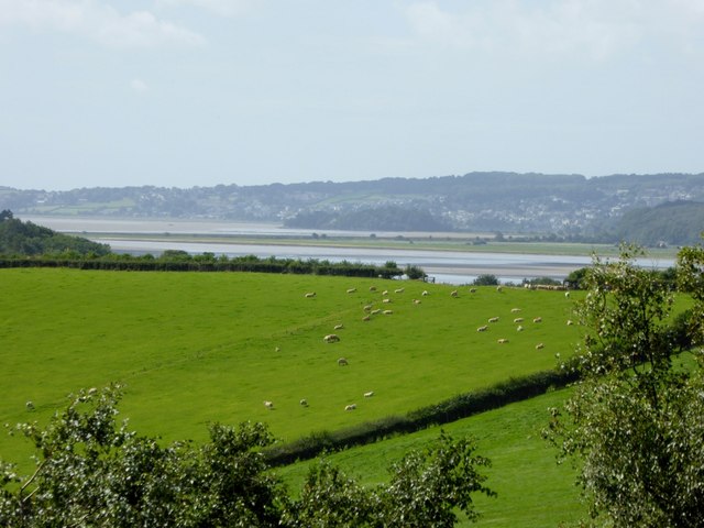
Dick Fell Hill is a prominent hill located in the county of Westmorland, England. Rising to a height of 257 meters (843 feet), it is considered a significant geological feature in the region. Situated near the village of Orton, it forms part of the larger landscape of the Pennines.

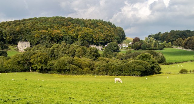
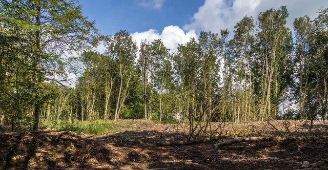
The hill is primarily composed of sedimentary rocks, including limestone and sandstone, which were formed millions of years ago during the Carboniferous period. These rocks provide a rich source of fossils, making Dick Fell Hill an important site for geological studies. The hill's slopes are covered in lush vegetation, with a mix of grasses, heather, and scattered trees.

A network of footpaths and trails traverse Dick Fell Hill, providing opportunities for hikers and nature enthusiasts to explore its scenic surroundings. The summit offers breathtaking panoramic views of the surrounding countryside, including the nearby Howgill Fells and the Lake District National Park.

Aside from its natural beauty, Dick Fell Hill also holds historical significance. It is believed to have been an important site during the Roman era, with remnants of ancient settlements and fortifications discovered in the vicinity.

Overall, Dick Fell Hill is a captivating natural landmark that blends geological importance, scenic beauty, and historical intrigue. It continues to attract visitors from near and far, offering a delightful experience for those seeking outdoor adventures or simply a tranquil escape into nature.

If you have any feedback on the listing, please let us know in the comments section below.

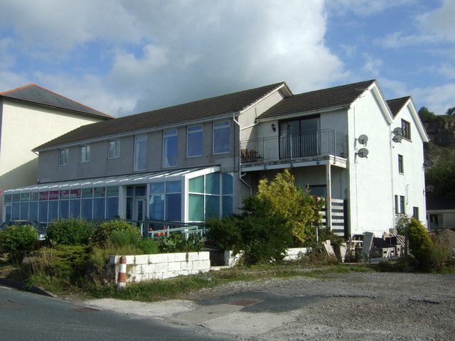
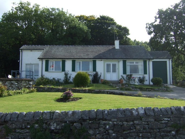
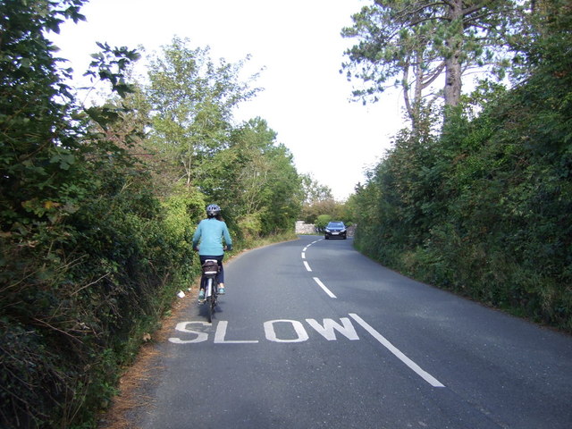
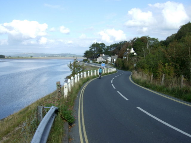
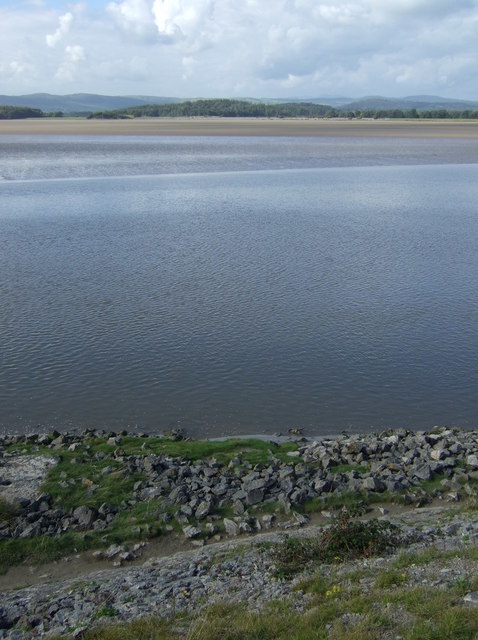
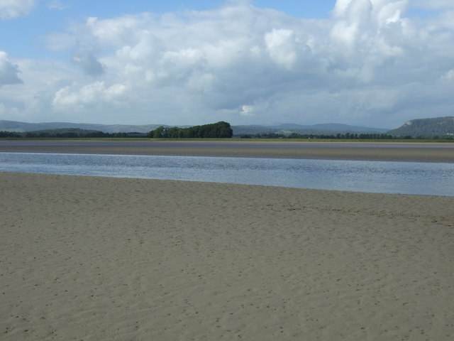
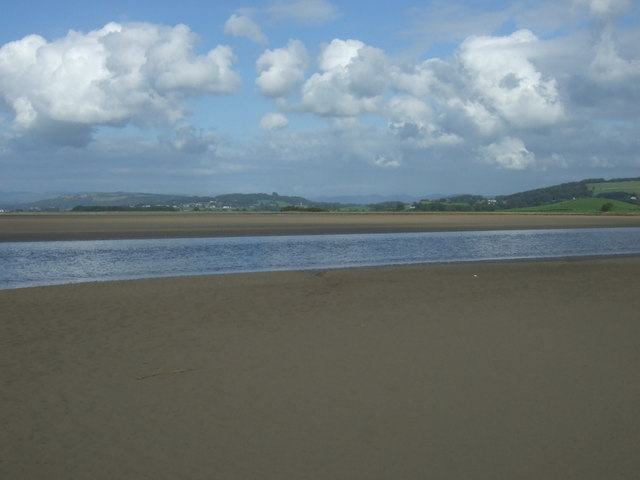
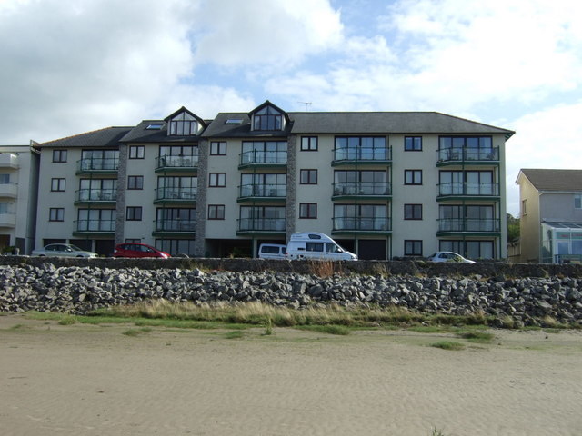
Dick Fell Hill Images

Images are sourced within 2km of 54.211101/-2.8074943 or Grid Reference SD4779. Thanks to Geograph Open Source API. All images are credited.

View of the Kent estuary From St. Anthony's Hill, Milnthorpe.
View of the Kent estuary
From St. Anthony's Hill, Milnthorpe.
Park Road Flats on Park Road.
Park Road
Flats on Park Road.
Haverbrack
Haverbrack
Wray Cottages Visible after the felling of trees.
Wray Cottages
Visible after the felling of trees.
Storth Builders Merchants in Storth.
Storth
Builders Merchants in Storth.
The Ship Inn, Sandside
Sign for the Ship Inn, Sandside
Sands at Sandside The channel seems to have shifted from the position on the map, allowing easy access at low tide.
Sands at Sandside
The channel seems to have shifted from the position on the map, allowing easy access at low tide.
Restaurant on Park Road, Sandside
Bungalow on Park Road (B5292)
Cycling on Park Road (B5282) Heading north east.
Cycling on Park Road (B5282)
Heading north east.
Dropping down on the coastal road into Sandside Heading north east.
Dropping down on the coastal road into Sandside
Heading north east.
Kent Channel and Milnthorpe Sands
The Kent Channel and Milnthorpe Sands
The Kent Channel and Milnthorpe Sands The channel seems to have shifted from the position on the map, allowing easy access at low tide.
The Kent Channel and Milnthorpe Sands
The channel seems to have shifted from the position on the map, allowing easy access at low tide.
Apartments at Sandside On Park Road (B5282).
Apartments at Sandside
On Park Road (B5282).
Apartments at Sandside On Park Road (B5282).
Apartments at Sandside
On Park Road (B5282).
Restaurant on Park Road, Sandside
Show me another place!

Dick Fell Hill is located at Grid Ref: SD4779 (Lat: 54.211101, Lng: -2.8074943)

Administrative County: Cumbria

District: South Lakeland

Police Authority: Cumbria

What 3 Words

///saved.warthog.eradicate. Near Arnside, Cumbria

Related Wikis

Carr Bank

Carr Bank is a small hamlet near Arnside, Cumbria, England. It is in the civil parish of Beetham in South Lakeland local government district. == References... ==

Dog Hole Cave

Dog Hole Cave is an archaeologically significant cave near Storth, Cumbria, England. Other names for the cave include Haverbrack Bank Pot, Haverbrack Dog...

Hazelslack

Hazelslack is a hamlet in the South Lakeland district, in the English county of Cumbria. It is near the villages of Arnside and Storth. Nearby Hazelslack...

Sandside, Beetham

Sandside is a hamlet near Storth in Beetham parish, South Lakeland, Cumbria, England. Historically in Westmorland, it lies on the south shore of the estuary...

Sandside railway station

Sandside was a railway station situated on the Hincaster Branch of the Furness Railway serving the hamlet and quarries of Sandside. The following station...

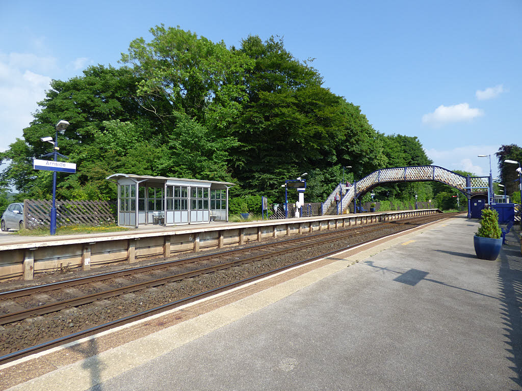
Arnside railway station

Arnside is a railway station on the Furness Line, which runs between Barrow-in-Furness and Lancaster. The station, situated 12+1⁄4 miles (20 km) north...

Limestone Link (Cumbria)

The Limestone Link is a waymarked footpath in South Lakeland, Cumbria, England, connecting Arnside and Kirkby Lonsdale, a distance of 13 miles (21 km)...

Storth

Storth is a village near Arnside in Cumbria, England, situated near the border with Lancashire. It is in the historic county of Westmorland. The village...

Nearby Amenities

Located within 500m of 54.211101,-2.8074943
Source: PGS
Lat/Long: 54.2151691/-2.8100368
Source: PGS
Lat/Long: 54.214781/-2.8102842
Source: PGS
Lat/Long: 54.214315/-2.8106516
Source: PGS
Lat/Long: 54.2140906/-2.8108205
Source: PGS
Lat/Long: 54.2139412/-2.810837
Source: PGS
Lat/Long: 54.2137216/-2.811125
Source: PGS
Lat/Long: 54.2130921/-2.8114204
Source: PGS
Lat/Long: 54.2129221/-2.8119181
Source: PGS
Lat/Long: 54.2126157/-2.8125604
Source: PGS
Lat/Long: 54.2124172/-2.813091
Source: PGS
Lat/Long: 54.2122894/-2.8135207
Source: PGS
Lat/Long: 54.2119476/-2.8143857
Bus Stop
Carr Bank Garden Centre
Bus: yes
Local Ref: BY
Naptan AtcoCode: 090079061440
Naptan Bearing: S
Naptan CommonName: Carr Bank Garden Centre
Naptan Indicator: by
Naptan Landmark: Garden Centre
Naptan NaptanCode: cumdgpgd
Naptan Street: B5282 Sandside Road
Naptan Verified: no
Public Transport: platform
Shelter: yes
Source: naptan_import
Lat/Long: 54.2077863/-2.8123477
Barrier: stile
Lat/Long: 54.2092302/-2.8007248
Turning Circle
Lat/Long: 54.2152786/-2.8061358
Give Way
Direction: forward
Lat/Long: 54.2150041/-2.8065348
Give Way
Direction: forward
Lat/Long: 54.2151923/-2.8068283
Give Way
Direction: backward
Lat/Long: 54.2140243/-2.8059925
Give Way
Direction: forward
Lat/Long: 54.2132809/-2.8059888
Give Way
Direction: backward
Lat/Long: 54.2107255/-2.8057553
Give Way
Direction: forward
Lat/Long: 54.2106565/-2.8057268
Post Box
Collection Times: Mo-Fr 16:45; Sa 10:30
Post Box Type: lamp
Ref: LA7 204
Lat/Long: 54.210673/-2.8055649
Bench
Backrest: yes
Lat/Long: 54.2106695/-2.8056033
Waste Basket
Lat/Long: 54.2108022/-2.8056009
Bench
Backrest: yes
Lat/Long: 54.2108204/-2.8056693
Give Way
Direction: backward
Lat/Long: 54.2109223/-2.8049726
Give Way
Direction: forward
Lat/Long: 54.2113288/-2.8037804
Give Way
Direction: forward
Lat/Long: 54.2121736/-2.8021271
Give Way
Direction: backward
Lat/Long: 54.2072196/-2.8112862
Give Way
Direction: forward
Lat/Long: 54.2078073/-2.8114718
Give Way
Direction: backward
Lat/Long: 54.2079702/-2.8122419
Barrier: stile
Lat/Long: 54.2122361/-2.8007734
Post Box
Collection Times: Mo-Fr 16:45; Sa 10:30
Drive Through: no
Post Box Type: wall
Ref: LA7 242
Lat/Long: 54.2077836/-2.811343
Fixme: Does it join to Keasdale Avenue? Looks like a track or footpath could continue east to Keasdale Road
Lat/Long: 54.2081807/-2.8105783
Bus Stop
Garden Centre
Bus: yes
Naptan AtcoCode: 090079064799
Naptan Bearing: N
Naptan BusStopType: CUS
Naptan CommonName: Garden Centre
Naptan Indicator: opp
Naptan NaptanCode: cumdwama
Naptan Street: Sandside Raod
Public Transport: platform
Lat/Long: 54.2078806/-2.8124172
Carr Bank Garden Centre
Bus: yes
Public Transport: stop_position
Lat/Long: 54.2078758/-2.8123814
Carr Bank Garden Centre
Bus: yes
Public Transport: stop_position
Lat/Long: 54.2078005/-2.8124404
Generator Method: photovoltaic
Generator Orientation: east
Generator Output Electricity: yes
Generator Solar Modules: 8
Generator Source: solar
Generator Type: solar_photovoltaic_panel
Location: roof
Power: generator
Lat/Long: 54.2130805/-2.8069961
Generator Method: photovoltaic
Generator Orientation: east
Generator Output Electricity: yes
Generator Solar Modules: 6
Generator Source: solar
Generator Type: solar_photovoltaic_panel
Location: roof
Power: generator
Lat/Long: 54.2129526/-2.8069469
Generator Method: photovoltaic
Generator Orientation: west
Generator Output Electricity: yes
Generator Solar Modules: 6
Generator Source: solar
Generator Type: solar_photovoltaic_panel
Location: roof
Power: generator
Lat/Long: 54.2128719/-2.8069741
Generator Method: photovoltaic
Generator Orientation: west
Generator Output Electricity: yes
Generator Solar Modules: 6
Generator Source: solar
Generator Type: solar_photovoltaic_panel
Location: roof
Power: generator
Lat/Long: 54.2130676/-2.8070505
Generator Method: photovoltaic
Generator Orientation: south
Generator Output Electricity: yes
Generator Solar Modules: 11
Generator Source: solar
Generator Type: solar_photovoltaic_panel
Location: roof
Power: generator
Lat/Long: 54.2137055/-2.8074079
Generator Method: photovoltaic
Generator Orientation: south_west
Generator Output Electricity: yes
Generator Solar Modules: 10
Generator Source: solar
Generator Type: solar_photovoltaic_panel
Location: roof
Power: generator
Lat/Long: 54.2106937/-2.8066427
Generator Method: photovoltaic
Generator Orientation: south
Generator Output Electricity: yes
Generator Solar Modules: 13
Generator Source: solar
Generator Type: solar_photovoltaic_panel
Location: roof
Power: generator
Lat/Long: 54.2103704/-2.8076083
Generator Method: photovoltaic
Generator Orientation: south
Generator Output Electricity: yes
Generator Solar Modules: 16
Generator Source: solar
Generator Type: solar_photovoltaic_panel
Location: roof
Power: generator
Lat/Long: 54.2097433/-2.8075952
Generator Method: photovoltaic
Generator Orientation: south_west
Generator Output Electricity: yes
Generator Solar Modules: 8
Generator Source: solar
Generator Type: solar_photovoltaic_panel
Location: roof
Power: generator
Lat/Long: 54.2101851/-2.808275
Generator Method: solar_thermal
Generator Orientation: south_east
Generator Output Hot Water: yes
Generator Solar Modules: 3
Generator Source: solar
Generator Type: solar_thermal_collector
Location: roof
Power: generator
Lat/Long: 54.2102877/-2.8083392
Generator Method: photovoltaic
Generator Orientation: south_west
Generator Output Electricity: yes
Generator Solar Modules: 10
Generator Source: solar
Generator Type: solar_photovoltaic_panel
Location: roof
Power: generator
Lat/Long: 54.2106762/-2.8101682
Generator Method: photovoltaic
Generator Orientation: south
Generator Output Electricity: yes
Generator Solar Modules: 16
Generator Source: solar
Generator Type: solar_photovoltaic_panel
Location: roof
Power: generator
Lat/Long: 54.2123116/-2.8039698
Generator Method: photovoltaic
Generator Orientation: west
Generator Output Electricity: yes
Generator Solar Modules: 16
Generator Source: solar
Generator Type: solar_photovoltaic_panel
Location: roof
Power: generator
Lat/Long: 54.2132073/-2.8034407
Generator Method: photovoltaic
Generator Orientation: south_west
Generator Output Electricity: yes
Generator Solar Modules: 18
Generator Source: solar
Generator Type: solar_photovoltaic_panel
Location: roof
Power: generator
Lat/Long: 54.2147445/-2.8060273
Generator Method: photovoltaic
Generator Orientation: south
Generator Output Electricity: yes
Generator Solar Modules: 12
Generator Source: solar
Generator Type: solar_photovoltaic_panel
Location: roof
Power: generator
Lat/Long: 54.2149055/-2.8052572
Generator Method: photovoltaic
Generator Orientation: south
Generator Output Electricity: yes
Generator Solar Modules: 12
Generator Source: solar
Generator Type: solar_photovoltaic_panel
Location: roof
Power: generator
Lat/Long: 54.2151081/-2.8053055
Generator Method: photovoltaic
Generator Orientation: south
Generator Output Electricity: yes
Generator Solar Modules: 16
Generator Source: solar
Generator Type: solar_photovoltaic_panel
Location: roof
Power: generator
Lat/Long: 54.2072592/-2.8073747
Generator Method: solar_thermal
Generator Orientation: south_east
Generator Output Hot Water: yes
Generator Solar Modules: 2
Generator Source: solar
Generator Type: solar_thermal_collector
Location: roof
Power: generator
Lat/Long: 54.2069366/-2.8087024
Defibrillator
Access: yes
Booth: KX100
Covered: booth
Defibrillator Location: inside old phone box, Carr Bank Road, Storth
Disused Amenity: telephone
Emergency: defibrillator
Man Made: telephone_box
Lat/Long: 54.2075629/-2.8114735
Advertising: board
Lat/Long: 54.2075196/-2.8114743
Power: pole
Lat/Long: 54.207611/-2.8118191
Power: pole
Lat/Long: 54.2089182/-2.8090804
Power: pole
Lat/Long: 54.2093139/-2.8073714
Power: pole
Lat/Long: 54.2096993/-2.8055899
Power: pole
Lat/Long: 54.2098297/-2.805001
Power: pole
Lat/Long: 54.210388/-2.8047129
Power: pole
Lat/Long: 54.210961/-2.8044197
The data included in this document is from www.openstreetmap.org. The data is made available under ODbL.

Have you been to Dick Fell Hill?

Leave your review of Dick Fell Hill below (or comments, questions and feedback).