Dick Slack Wood

Wood, Forest in Westmorland South Lakeland

England

Dick Slack Wood

View of the Kent estuary From St. Anthony's Hill, Milnthorpe.
View of the Kent estuary Credit: Phil and Juliette Platt

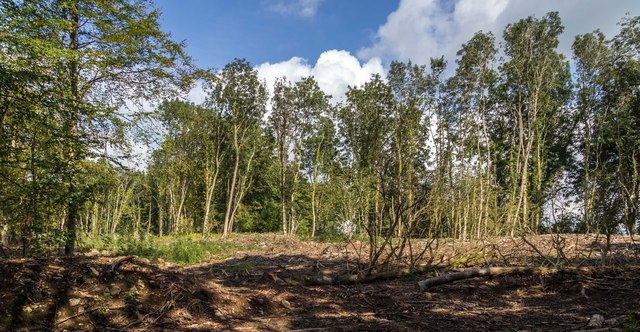
Dick Slack Wood is a small forested area located in the county of Westmorland, England. Situated near the village of Wood, it covers an approximate area of 20 acres. The wood is characterized by its dense vegetation, consisting primarily of deciduous trees such as oak, beech, and birch, interspersed with patches of coniferous trees like pine and spruce.

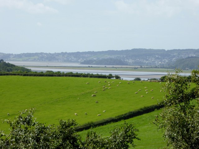
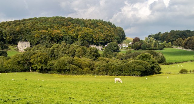
The terrain of Dick Slack Wood is undulating, with gentle slopes and occasional small streams running through it. The forest floor is covered in a thick carpet of moss, ferns, and wildflowers, adding to its natural charm. It is home to a diverse range of wildlife, including various species of birds, squirrels, rabbits, and occasional deer sightings.

The wood is a popular destination for nature enthusiasts, hikers, and birdwatchers due to its tranquil and picturesque setting. There are several well-maintained walking trails that wind through the forest, allowing visitors to explore its natural beauty at their own pace. These paths are marked with signposts, providing information about the local flora and fauna.

Dick Slack Wood also holds historical significance, with evidence of human activity dating back centuries. Ruins of old stone structures and remnants of ancient pathways can be found within the forest, hinting at its past use by local communities.

In summary, Dick Slack Wood in Westmorland is a captivating forested area renowned for its rich vegetation, diverse wildlife, and historical remnants. It offers visitors a peaceful and immersive experience in nature, making it a cherished destination for outdoor enthusiasts.

If you have any feedback on the listing, please let us know in the comments section below.

Dick Slack Wood Images

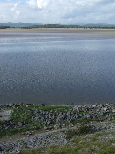
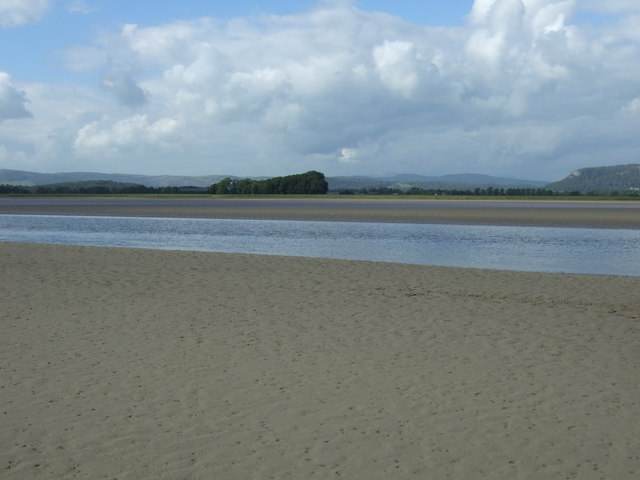
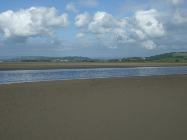
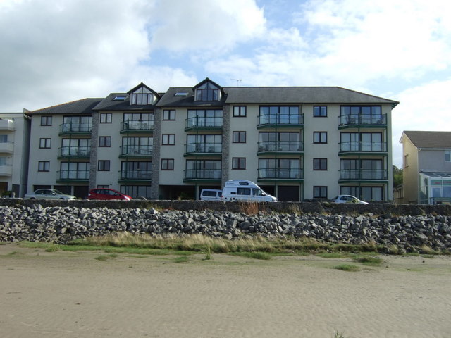
Images are sourced within 2km of 54.208635/-2.8052383 or Grid Reference SD4779. Thanks to Geograph Open Source API. All images are credited.

View of the Kent estuary From St. Anthony's Hill, Milnthorpe.
View of the Kent estuary
From St. Anthony's Hill, Milnthorpe.
Park Road Flats on Park Road.
Park Road
Flats on Park Road.
Haverbrack
Haverbrack
Wray Cottages Visible after the felling of trees.
Wray Cottages
Visible after the felling of trees.
Storth Builders Merchants in Storth.
Storth
Builders Merchants in Storth.
The Ship Inn, Sandside
Sign for the Ship Inn, Sandside
Sands at Sandside The channel seems to have shifted from the position on the map, allowing easy access at low tide.
Sands at Sandside
The channel seems to have shifted from the position on the map, allowing easy access at low tide.
Restaurant on Park Road, Sandside
Bungalow on Park Road (B5292)
Cycling on Park Road (B5282) Heading north east.
Cycling on Park Road (B5282)
Heading north east.
Dropping down on the coastal road into Sandside Heading north east.
Dropping down on the coastal road into Sandside
Heading north east.
Kent Channel and Milnthorpe Sands
The Kent Channel and Milnthorpe Sands
The Kent Channel and Milnthorpe Sands The channel seems to have shifted from the position on the map, allowing easy access at low tide.
The Kent Channel and Milnthorpe Sands
The channel seems to have shifted from the position on the map, allowing easy access at low tide.
Apartments at Sandside On Park Road (B5282).
Apartments at Sandside
On Park Road (B5282).
Apartments at Sandside On Park Road (B5282).
Apartments at Sandside
On Park Road (B5282).
Restaurant on Park Road, Sandside
Show me another place!

Dick Slack Wood is located at Grid Ref: SD4779 (Lat: 54.208635, Lng: -2.8052383)

Administrative County: Cumbria

District: South Lakeland

Police Authority: Cumbria

What 3 Words

///lamppost.perform.doing. Near Arnside, Cumbria

Related Wikis

Carr Bank

Carr Bank is a small hamlet near Arnside, Cumbria, England. It is in the civil parish of Beetham in South Lakeland local government district. == References... ==

Hazelslack

Hazelslack is a hamlet in the South Lakeland district, in the English county of Cumbria. It is near the villages of Arnside and Storth. Nearby Hazelslack...

Dog Hole Cave

Dog Hole Cave is an archaeologically significant cave near Storth, Cumbria, England. Other names for the cave include Haverbrack Bank Pot, Haverbrack Dog...

Storth

Storth is a village near Arnside in Cumbria, England, situated near the border with Lancashire. It is in the historic county of Westmorland. The village...

Nearby Amenities

Located within 500m of 54.208635,-2.8052383
Bus Stop
Carr Bank Garden Centre
Bus: yes
Local Ref: BY
Naptan AtcoCode: 090079061440
Naptan Bearing: S
Naptan CommonName: Carr Bank Garden Centre
Naptan Indicator: by
Naptan Landmark: Garden Centre
Naptan NaptanCode: cumdgpgd
Naptan Street: B5282 Sandside Road
Naptan Verified: no
Public Transport: platform
Shelter: yes
Source: naptan_import
Lat/Long: 54.2077863/-2.8123477
Barrier: stile
Lat/Long: 54.2092302/-2.8007248
Give Way
Direction: backward
Lat/Long: 54.2107255/-2.8057553
Give Way
Direction: forward
Lat/Long: 54.2106565/-2.8057268
Post Box
Collection Times: Mo-Fr 16:45; Sa 10:30
Post Box Type: lamp
Ref: LA7 204
Lat/Long: 54.210673/-2.8055649
Bench
Backrest: yes
Lat/Long: 54.2106695/-2.8056033
Waste Basket
Lat/Long: 54.2108022/-2.8056009
Bench
Backrest: yes
Lat/Long: 54.2108204/-2.8056693
Give Way
Direction: backward
Lat/Long: 54.2109223/-2.8049726
Give Way
Direction: forward
Lat/Long: 54.2113288/-2.8037804
Give Way
Direction: forward
Lat/Long: 54.2121736/-2.8021271
Give Way
Direction: backward
Lat/Long: 54.2072196/-2.8112862
Give Way
Direction: forward
Lat/Long: 54.2078073/-2.8114718
Give Way
Direction: backward
Lat/Long: 54.2079702/-2.8122419
Barrier: stile
Lat/Long: 54.2122361/-2.8007734
Post Box
Collection Times: Mo-Fr 16:45; Sa 10:30
Drive Through: no
Post Box Type: wall
Ref: LA7 242
Lat/Long: 54.2077836/-2.811343
Fixme: Does it join to Keasdale Avenue? Looks like a track or footpath could continue east to Keasdale Road
Lat/Long: 54.2081807/-2.8105783
Bus Stop
Garden Centre
Bus: yes
Naptan AtcoCode: 090079064799
Naptan Bearing: N
Naptan BusStopType: CUS
Naptan CommonName: Garden Centre
Naptan Indicator: opp
Naptan NaptanCode: cumdwama
Naptan Street: Sandside Raod
Public Transport: platform
Lat/Long: 54.2078806/-2.8124172
Carr Bank Garden Centre
Bus: yes
Public Transport: stop_position
Lat/Long: 54.2078758/-2.8123814
Carr Bank Garden Centre
Bus: yes
Public Transport: stop_position
Lat/Long: 54.2078005/-2.8124404
Generator Method: photovoltaic
Generator Orientation: east
Generator Output Electricity: yes
Generator Solar Modules: 6
Generator Source: solar
Generator Type: solar_photovoltaic_panel
Location: roof
Power: generator
Lat/Long: 54.2129526/-2.8069469
Generator Method: photovoltaic
Generator Orientation: west
Generator Output Electricity: yes
Generator Solar Modules: 6
Generator Source: solar
Generator Type: solar_photovoltaic_panel
Location: roof
Power: generator
Lat/Long: 54.2128719/-2.8069741
Generator Method: photovoltaic
Generator Orientation: south_west
Generator Output Electricity: yes
Generator Solar Modules: 10
Generator Source: solar
Generator Type: solar_photovoltaic_panel
Location: roof
Power: generator
Lat/Long: 54.2106937/-2.8066427
Generator Method: photovoltaic
Generator Orientation: south
Generator Output Electricity: yes
Generator Solar Modules: 13
Generator Source: solar
Generator Type: solar_photovoltaic_panel
Location: roof
Power: generator
Lat/Long: 54.2103704/-2.8076083
Generator Method: photovoltaic
Generator Orientation: south
Generator Output Electricity: yes
Generator Solar Modules: 16
Generator Source: solar
Generator Type: solar_photovoltaic_panel
Location: roof
Power: generator
Lat/Long: 54.2097433/-2.8075952
Generator Method: photovoltaic
Generator Orientation: south_west
Generator Output Electricity: yes
Generator Solar Modules: 8
Generator Source: solar
Generator Type: solar_photovoltaic_panel
Location: roof
Power: generator
Lat/Long: 54.2101851/-2.808275
Generator Method: solar_thermal
Generator Orientation: south_east
Generator Output Hot Water: yes
Generator Solar Modules: 3
Generator Source: solar
Generator Type: solar_thermal_collector
Location: roof
Power: generator
Lat/Long: 54.2102877/-2.8083392
Generator Method: photovoltaic
Generator Orientation: south_west
Generator Output Electricity: yes
Generator Solar Modules: 10
Generator Source: solar
Generator Type: solar_photovoltaic_panel
Location: roof
Power: generator
Lat/Long: 54.2106762/-2.8101682
Generator Method: photovoltaic
Generator Orientation: south
Generator Output Electricity: yes
Generator Solar Modules: 16
Generator Source: solar
Generator Type: solar_photovoltaic_panel
Location: roof
Power: generator
Lat/Long: 54.2123116/-2.8039698
Generator Method: photovoltaic
Generator Orientation: south
Generator Output Electricity: yes
Generator Solar Modules: 16
Generator Source: solar
Generator Type: solar_photovoltaic_panel
Location: roof
Power: generator
Lat/Long: 54.2072592/-2.8073747
Generator Method: solar_thermal
Generator Orientation: south_east
Generator Output Hot Water: yes
Generator Solar Modules: 2
Generator Source: solar
Generator Type: solar_thermal_collector
Location: roof
Power: generator
Lat/Long: 54.2069366/-2.8087024
Generator Method: photovoltaic
Generator Orientation: south_east
Generator Output Electricity: yes
Generator Solar Modules: 14
Generator Source: solar
Generator Type: solar_photovoltaic_panel
Location: roof
Power: generator
Lat/Long: 54.2051341/-2.8097855
Generator Method: photovoltaic
Generator Orientation: north_east
Generator Output Electricity: yes
Generator Solar Modules: 4
Generator Source: solar
Generator Type: solar_photovoltaic_panel
Location: roof
Power: generator
Lat/Long: 54.2050998/-2.8098514
Generator Method: photovoltaic
Generator Orientation: west
Generator Output Electricity: yes
Generator Solar Modules: 5
Generator Source: solar
Generator Type: solar_photovoltaic_panel
Location: roof
Power: generator
Lat/Long: 54.2050393/-2.8093838
Generator Method: photovoltaic
Generator Orientation: south
Generator Output Electricity: yes
Generator Solar Modules: 2
Generator Source: solar
Generator Type: solar_photovoltaic_panel
Location: roof
Power: generator
Lat/Long: 54.2050087/-2.8092949
Defibrillator
Access: yes
Booth: KX100
Covered: booth
Defibrillator Location: inside old phone box, Carr Bank Road, Storth
Disused Amenity: telephone
Emergency: defibrillator
Man Made: telephone_box
Lat/Long: 54.2075629/-2.8114735
Advertising: board
Lat/Long: 54.2075196/-2.8114743
Power: pole
Lat/Long: 54.207611/-2.8118191
Power: pole
Lat/Long: 54.2089182/-2.8090804
Power: pole
Lat/Long: 54.2093139/-2.8073714
Power: pole
Lat/Long: 54.2096993/-2.8055899
Power: pole
Lat/Long: 54.2098297/-2.805001
Power: pole
Lat/Long: 54.210388/-2.8047129
Power: pole
Lat/Long: 54.210961/-2.8044197
The data included in this document is from www.openstreetmap.org. The data is made available under ODbL.

Have you been to Dick Slack Wood?

Leave your review of Dick Slack Wood below (or comments, questions and feedback).